Elevation of Kenockee Township, MI, USA
Location: United States > Michigan > St. Clair County >
Longitude: -82.713132
Latitude: 43.0396597
Elevation: 226m / 741feet
Barometric Pressure: 99KPa
Elevation Map:
Satellite Map:
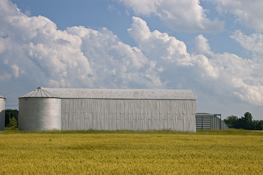
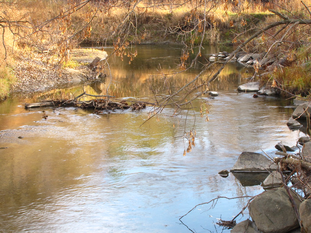
Related Photos:

Sixty-Six Miles (to Saginaw)

Whistle for No-One

Cerulean Warbler

Mill Creek

Mill Creek

Cerulean Warbler

View from the top

Yellow-throated Vireo

Hooded Warbler

Mourning Warbler

Blue-winged Warbler

Cerulean Warbler

Yellow-throated Vireo

Cerulean Warbler

Common Yellowthroat

Cerulean Warbler

Mourning Warbler

Common Yellowthroat

Country Church

Mill Creek

#puremichigan #fall

Cerulean Warbler

Cerulean Warbler

Mill Creek From the Trestle Bridge
June Clouds Like Mountains

Pictures From Sierra and Matt's Wedding (June 30, 2012)

My letter name

Indigo Bunting
Quiet Stream
Topographic Map of Kenockee Township, MI, USA
Find elevation by address:

Places in Kenockee Township, MI, USA:
Places near Kenockee Township, MI, USA:
Avoca
St. Clair County
Emmett
Goodells
3597 Cribbins Rd
Emmett Township
2700 Castor Rd
Wales Township
7920 Sparling Rd
7320 Sparling Rd
Yale
Yale
Yale
Yale
1 N Main St, Yale, MI, USA
6322 Gibbons Rd
Mayer Rd, Goodells, MI, USA
North Street, MI, USA
Clyde Township
8047 Yager Rd
Recent Searches:
- Elevation of Corso Fratelli Cairoli, 35, Macerata MC, Italy
- Elevation of Tallevast Rd, Sarasota, FL, USA
- Elevation of 4th St E, Sonoma, CA, USA
- Elevation of Black Hollow Rd, Pennsdale, PA, USA
- Elevation of Oakland Ave, Williamsport, PA, USA
- Elevation of Pedrógão Grande, Portugal
- Elevation of Klee Dr, Martinsburg, WV, USA
- Elevation of Via Roma, Pieranica CR, Italy
- Elevation of Tavkvetili Mountain, Georgia
- Elevation of Hartfords Bluff Cir, Mt Pleasant, SC, USA