Elevation of Castor Rd, Goodells, MI, USA
Location: United States > Michigan > St. Clair County > Wales Township > Goodells >
Longitude: -82.643516
Latitude: 42.983426
Elevation: 209m / 686feet
Barometric Pressure: 99KPa
Elevation Map:
Satellite Map:
Related Photos:

Cerulean Warbler
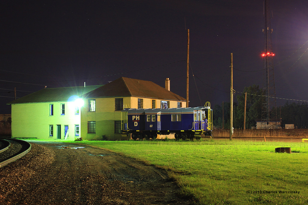
Night view

Save 25c for being an American
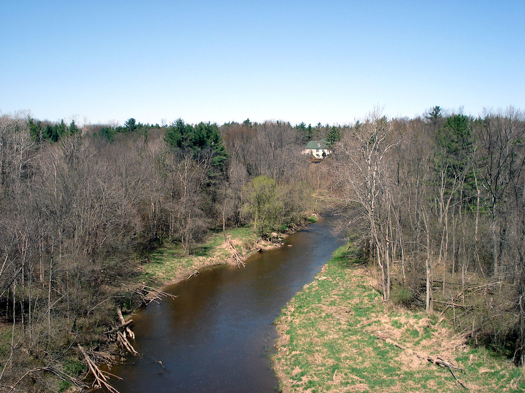
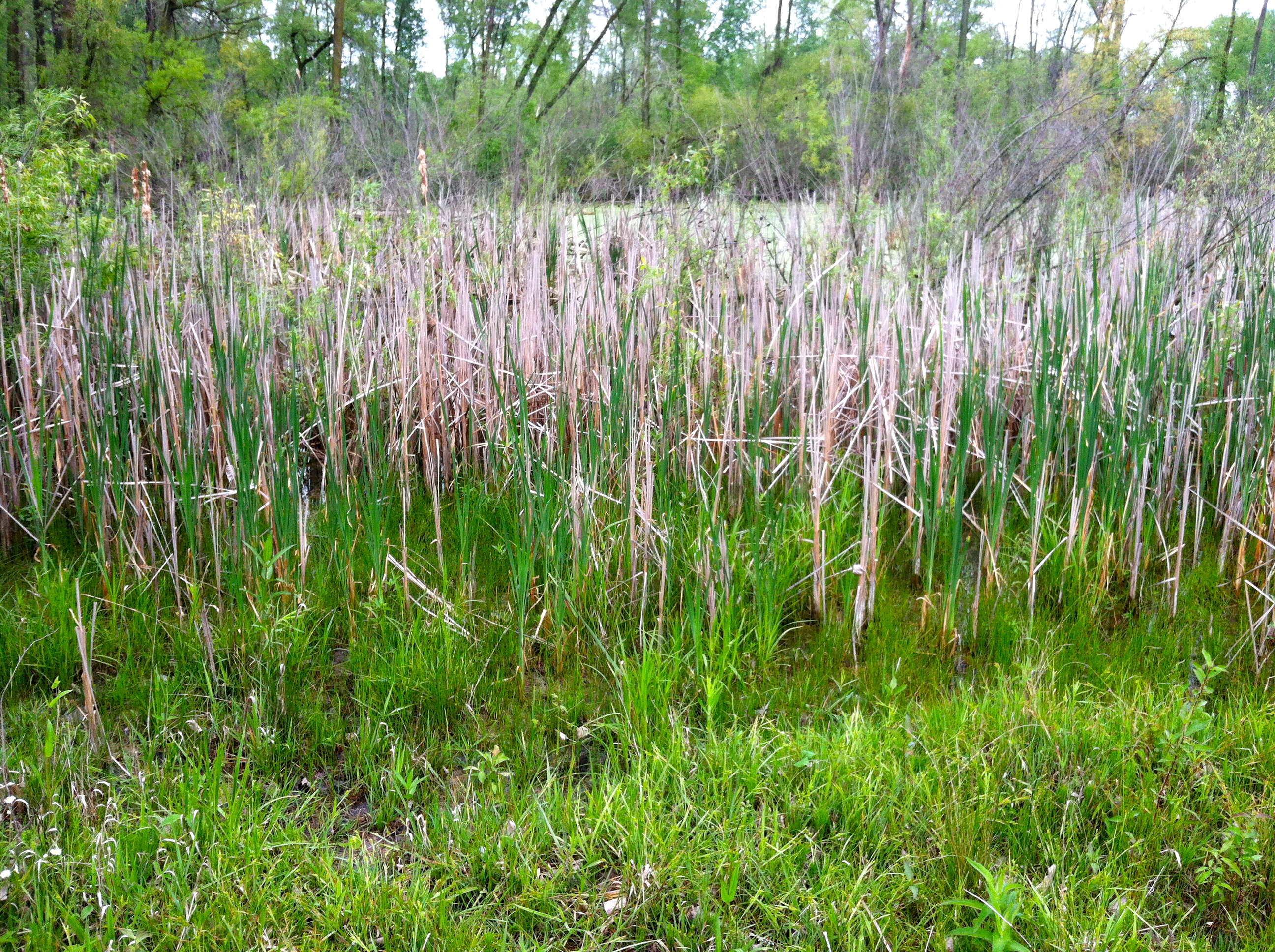
Mill Creek
Mill Creek
Another view

Hooded Warbler

Yellow-throated Vireo

Cerulean Warbler

Blue-winged Warbler

Mourning Warbler

Common Yellowthroat

Cerulean Warbler

Common Yellowthroat
Closer to the pond
View from the top

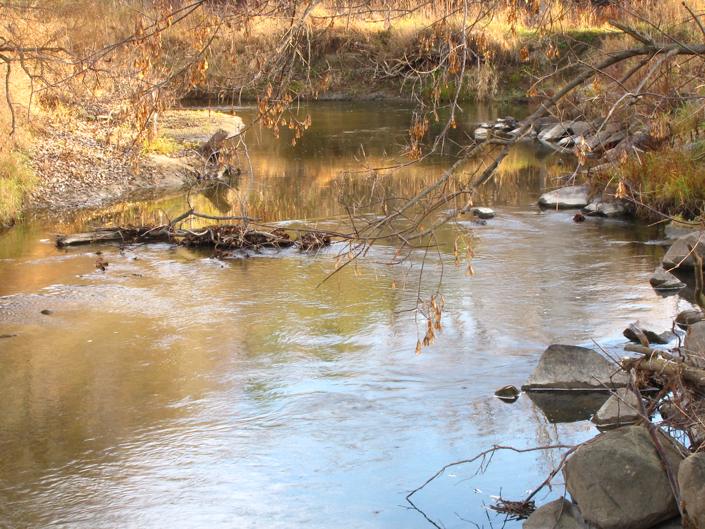
Black River_0007_tm

Pictures From Sierra and Matt's Wedding (June 30, 2012)
June Clouds Like Mountains

Sunset from Fort Gratiot, Michigan

Black River_0009_tm

Black River_0002_tm

Cerulean Warbler
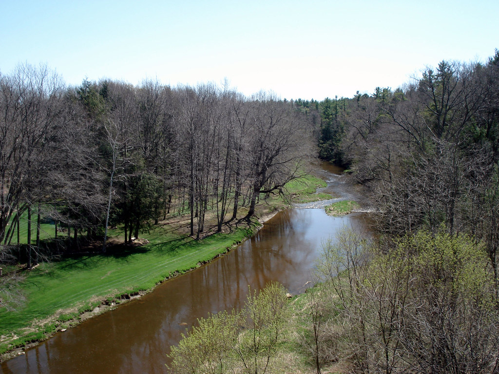
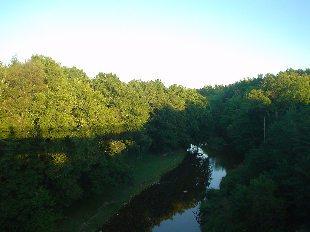
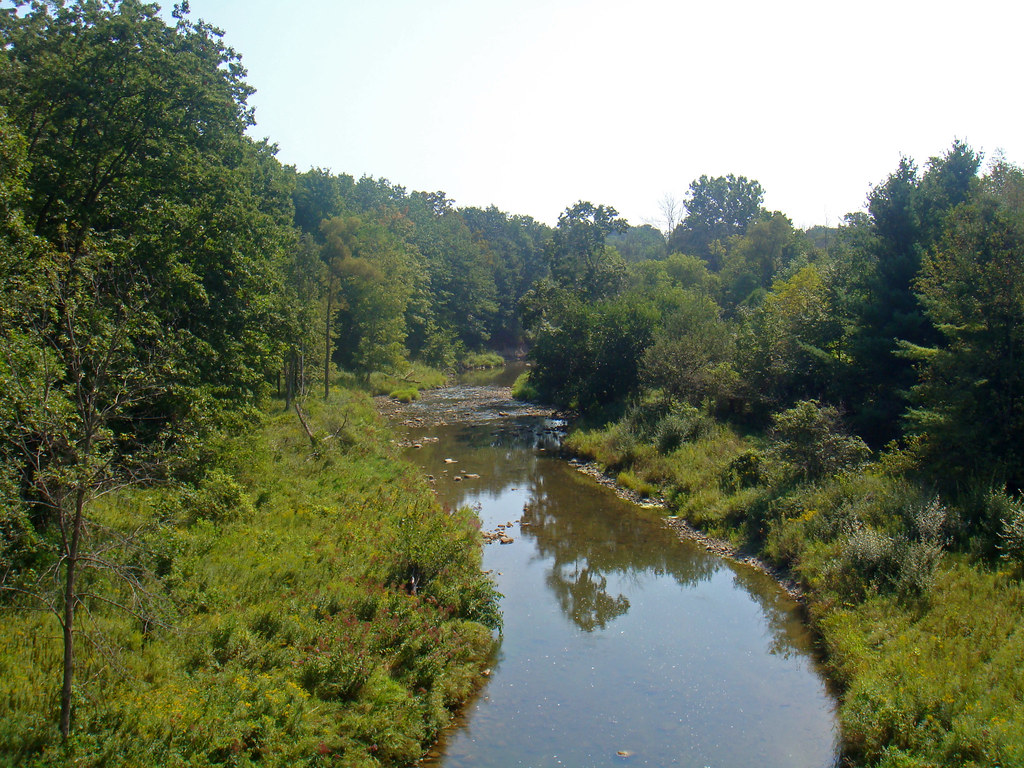
Quiet Stream

Hello there

Cerulean Warbler
Mill Creek

My letter name
Topographic Map of Castor Rd, Goodells, MI, USA
Find elevation by address:

Places near Castor Rd, Goodells, MI, USA:
7920 Sparling Rd
Goodells
3597 Cribbins Rd
7320 Sparling Rd
St. Clair County
Wales Township
Mayer Rd, Goodells, MI, USA
North Street, MI, USA
Clyde Township
Smiths Creek
8047 Yager Rd
6626 Smiths Creek Rd
Kenockee Township
Avoca
5651 Sleepy Hollow Ln
Wadhams Rd, Smiths Creek, MI, USA
Columbus
Kimball Township
6322 Gibbons Rd
Emmett
Recent Searches:
- Elevation of Corso Fratelli Cairoli, 35, Macerata MC, Italy
- Elevation of Tallevast Rd, Sarasota, FL, USA
- Elevation of 4th St E, Sonoma, CA, USA
- Elevation of Black Hollow Rd, Pennsdale, PA, USA
- Elevation of Oakland Ave, Williamsport, PA, USA
- Elevation of Pedrógão Grande, Portugal
- Elevation of Klee Dr, Martinsburg, WV, USA
- Elevation of Via Roma, Pieranica CR, Italy
- Elevation of Tavkvetili Mountain, Georgia
- Elevation of Hartfords Bluff Cir, Mt Pleasant, SC, USA