Elevation of Kendricks Road, Kendricks Rd, Sherburne, NY, USA

Location: United States > New York > Chenango County > Sherburne > Sherburne >

Longitude: -75.445728

Latitude: 42.6647772

Elevation: 453m / 1486feet

Barometric Pressure: 96KPa

Elevation Map:

elevation map of Kendricks Road, Kendricks Rd, Sherburne, NY, USA

Satellite Map:

Satellite map of Kendricks Road, Kendricks Rd, Sherburne, NY, USA

Related Photos:

winter snow square lofi farmland squareformat haybale iphoneography instagramapp uploaded:by=instagram foursquare:venue=4ef7203fa69dea74fa80cc71
Today's view!!!
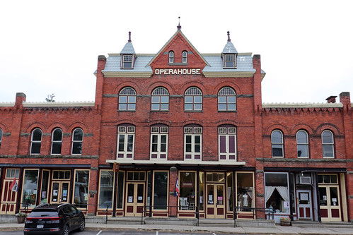
newyorkstate earlville earlvillenewyork upstate upstatenewyork centralnewyork earlvilleoperahouse operahouse
Opera House
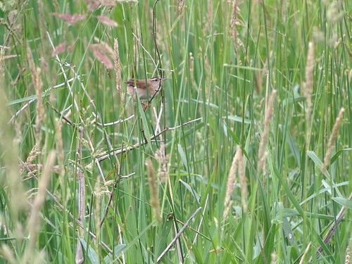
Marsh Wren
Marsh Wren
Marsh Wren
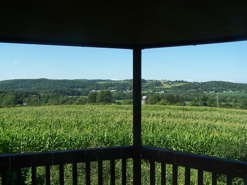
View from Farm Tower
waterfall pleasantbrook uppervillefalls uppervilleny
Upper And Lower Views Of Upperville Falls
snow landscape centralnewyork madisoncountynewyork brucemoseley
Moon setting
square squareformat iphoneography instagramapp uploaded:by=instagram
#cny
agriculture business farm farming food exif:focallength=24mm geocountry camera:model=canoneos5dmarkii camera:make=canon exif:aperture=ƒ40 geostate exif:model=canoneos5dmarkii exif:lens=ef24105mmf4lisusm geocity exif:isospeed=100 exif:make=canon
Rotational grazing in Madison County, N.Y.
centralnewyork hamilton landscape newyork williamsroad
DSC_0045.jpg
Morning walk
summer nature landscape upstatenewyork beautyinnature southnewberlinnewyork huntspondstatepark
_DSC3608.jpg
Inside looking out.
chesapeakebayprogram environment unitedstates camera:model=canoneos5dmarkii camera:make=canon exif:aperture=ƒ40 geostate exif:model=canoneos5dmarkii exif:focallength=55mm geo:country=unitedstates exif:lens=ef24105mmf4lisusm geocity exif:isospeed=100 exif:make=canon
Restored wetlands in New Berlin, N.Y.
from west tower education farm environmental center rogers andyarthur
West from Farm Tower
andyarthur huntspondstateforest huntspondfromabove
Hunts Pond from Above
asclepiadaceae asclepias chenangocounty chesapeakebayprogram dicotyledons gentianales habitats magnoliophyta magnoliopsida ny newyork nonprofits plantae plantsanimals susquehannariver unadillariver waterbodies wetlandtrust wetlands angiosperms environment milkweed plants unitedstates camera:make=sony exif:focallength=257mm exif:lens=2470mmf1828 geostate exif:model=dscrx100m4 camera:model=dscrx100m4 exif:isospeed=200 geo:country=unitedstates geocity exif:aperture=ƒ35 exif:make=sony
Restored wetlands in New Berlin, N.Y.
tower education farm environmental center trail rogers andyarthur
Farm Tower Trail
landscape agrarian centralnewyork hamiltonnewyork madisoncountynewyork brucemoseley
Early Corn
madisoncountynewyork brucemoseley
Central New York landscape
show sanfrancisco seattle street new york newyorkcity uk trip travel trees ireland winter wedding light sunset red sea summer vacation sky urban italy music usa sun india white house mountain lake holiday snow newyork toronto mountains rome macro tree london home me nature water june yellow rock japan museum kids vancouver river landscape mexico thailand island zoo hawaii tokyo la scotland washington spring spain san honeymoon texas tour hiking live sydney may taiwan july roadtrip
April 29, 2007 067.jpg
madisoncountynewyork brucemoseley
Central New York landscape
huntspond andyarthur huntspondstateforest
Hunts Pond
corn brucemoseley
Williams Road
Morning light in Cush Hill woods.
agrarian centralnewyork madisoncountynewyork brucemoseley
Early Corn
sunset summer lake nature reflections landscape evening pond dusk upstatenewyork beautyinnature southnewberlinnewyork huntspondstatepark
_DSC3584.jpg