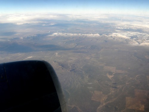
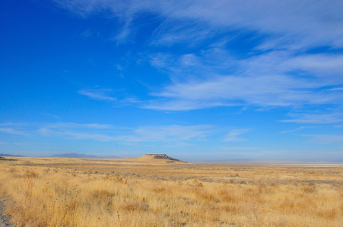
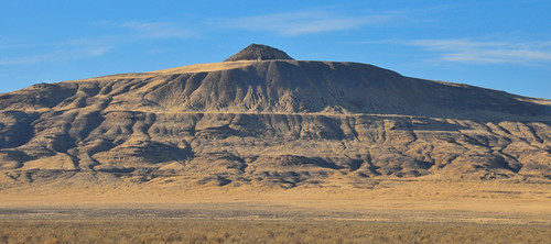
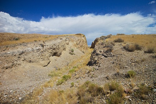
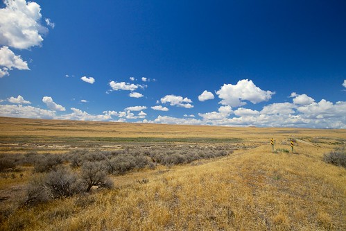
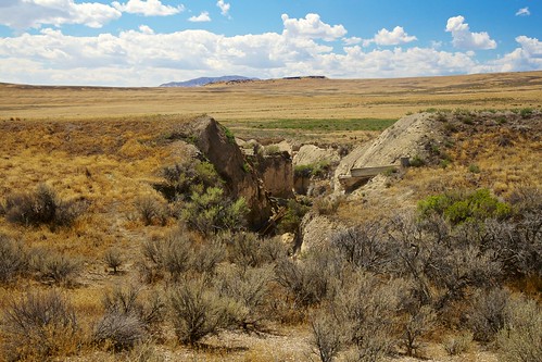
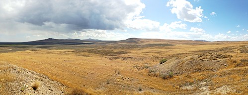
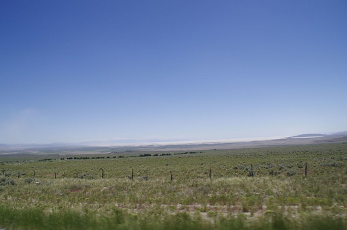
Elevation of Kelton, UT, USA
Location: United States > Utah > Box Elder County > Park Valley >
Longitude: -113.10637
Latitude: 41.7460327
Elevation: 1287m / 4222feet
Barometric Pressure: 87KPa
Related Photos:
Topographic Map of Kelton, UT, USA
Find elevation by address:

Places near Kelton, UT, USA:
Box Elder County
Cedar Creek
N West Rd, Park Valley, UT, USA
Park Valley
Salt Wells Road
Sawtooth National Forest
Juniper
Snowville
Spiral Jetty
Golden Spike National Historical Park
City Of Rocks Idaho
Elba-Almo Rd, Malta, ID, USA
Almo
Stines Creek Trailhead, Castle Rocks State Park
City Of Rocks National Reserve
Puddle Valley
GREENHAVEN, UT, USA
Recent Searches:
- Elevation of Corso Fratelli Cairoli, 35, Macerata MC, Italy
- Elevation of Tallevast Rd, Sarasota, FL, USA
- Elevation of 4th St E, Sonoma, CA, USA
- Elevation of Black Hollow Rd, Pennsdale, PA, USA
- Elevation of Oakland Ave, Williamsport, PA, USA
- Elevation of Pedrógão Grande, Portugal
- Elevation of Klee Dr, Martinsburg, WV, USA
- Elevation of Via Roma, Pieranica CR, Italy
- Elevation of Tavkvetili Mountain, Georgia
- Elevation of Hartfords Bluff Cir, Mt Pleasant, SC, USA
