Elevation of Keller, ND, USA
Location: United States > North Dakota > Burke County >
Longitude: -102.86450
Latitude: 48.8688029
Elevation: 594m / 1949feet
Barometric Pressure: 94KPa
Elevation Map:
Satellite Map:
Related Photos:
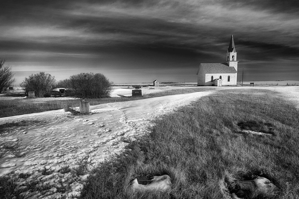
short creek
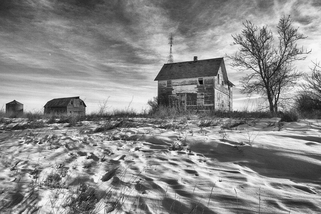
Happy Thanksgiving

Post Office 58727 (Columbus, North Dakota)

Post Office 58765 (Noonan, North Dakota)
Topographic Map of Keller, ND, USA
Find elevation by address:

Places in Keller, ND, USA:
Places near Keller, ND, USA:
Division St, Columbus, ND, USA
Aldridge St, Bienfait, SK S0C 0M0, Canada
Estevan
8 Hamlet Ave, Wildrose, ND, USA
Big Meadow
Estevan No. 5
Crosby
Tomahawk Pipeline Construction
Tioga
Williams County
Divide County
Dublin
Main St, Epping, ND, USA
Epping
5621 131st Ave Nw
5621 131st Ave Nw
th Ave NW, Williston, ND, USA
Athens
14 S 4th St, Epping, ND, USA
Unnamed Road
Recent Searches:
- Elevation of Corso Fratelli Cairoli, 35, Macerata MC, Italy
- Elevation of Tallevast Rd, Sarasota, FL, USA
- Elevation of 4th St E, Sonoma, CA, USA
- Elevation of Black Hollow Rd, Pennsdale, PA, USA
- Elevation of Oakland Ave, Williamsport, PA, USA
- Elevation of Pedrógão Grande, Portugal
- Elevation of Klee Dr, Martinsburg, WV, USA
- Elevation of Via Roma, Pieranica CR, Italy
- Elevation of Tavkvetili Mountain, Georgia
- Elevation of Hartfords Bluff Cir, Mt Pleasant, SC, USA