Elevation of Kaunistontie, Iitti, Finland
Location: Finland > Iitti >
Longitude: 26.1414745
Latitude: 60.9932853
Elevation: 86m / 282feet
Barometric Pressure: 100KPa
Elevation Map:
Satellite Map:
Related Photos:

The view
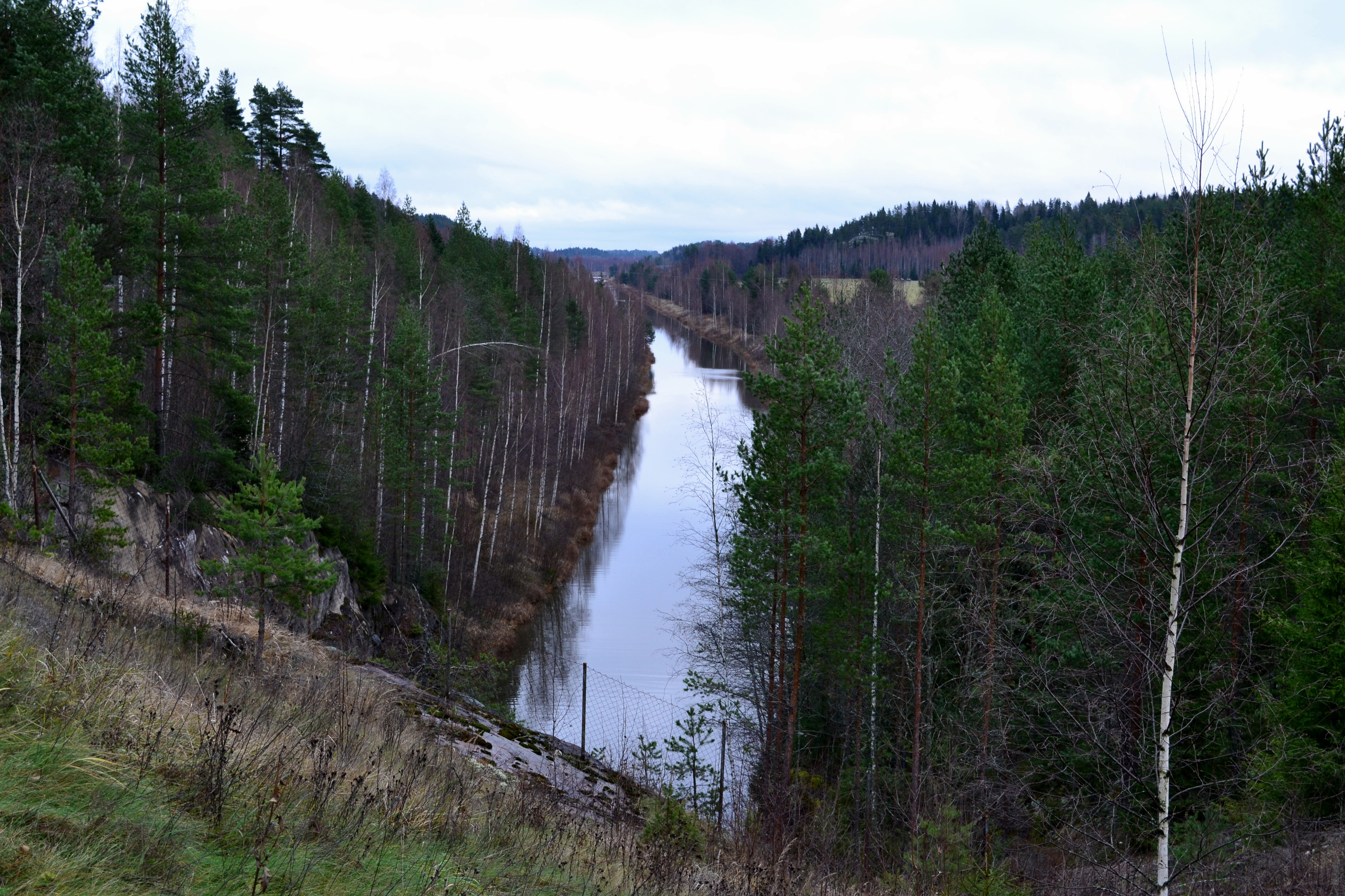
Kimola channel, view southeast of Vierumäentie, Jaala, 2011113
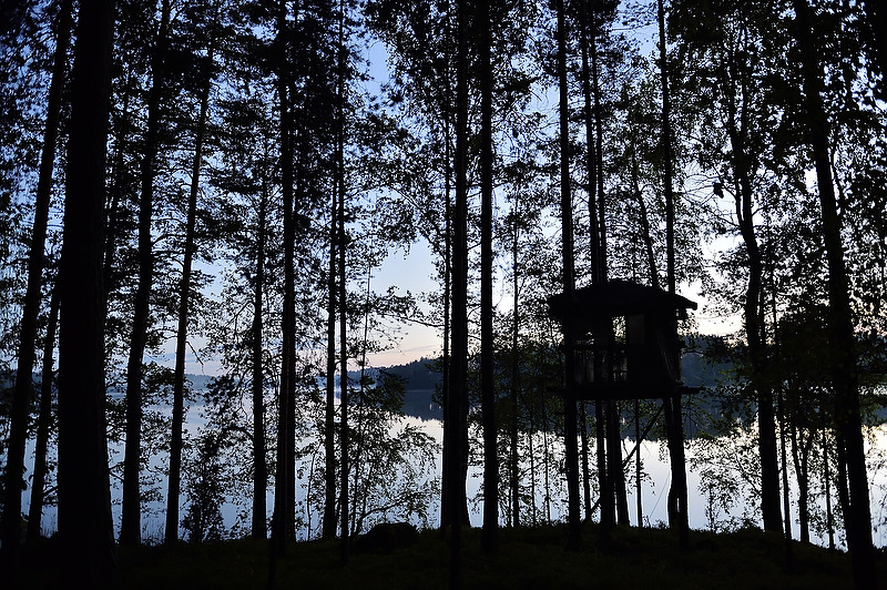
From: Iitti. Finlande. Forest hut

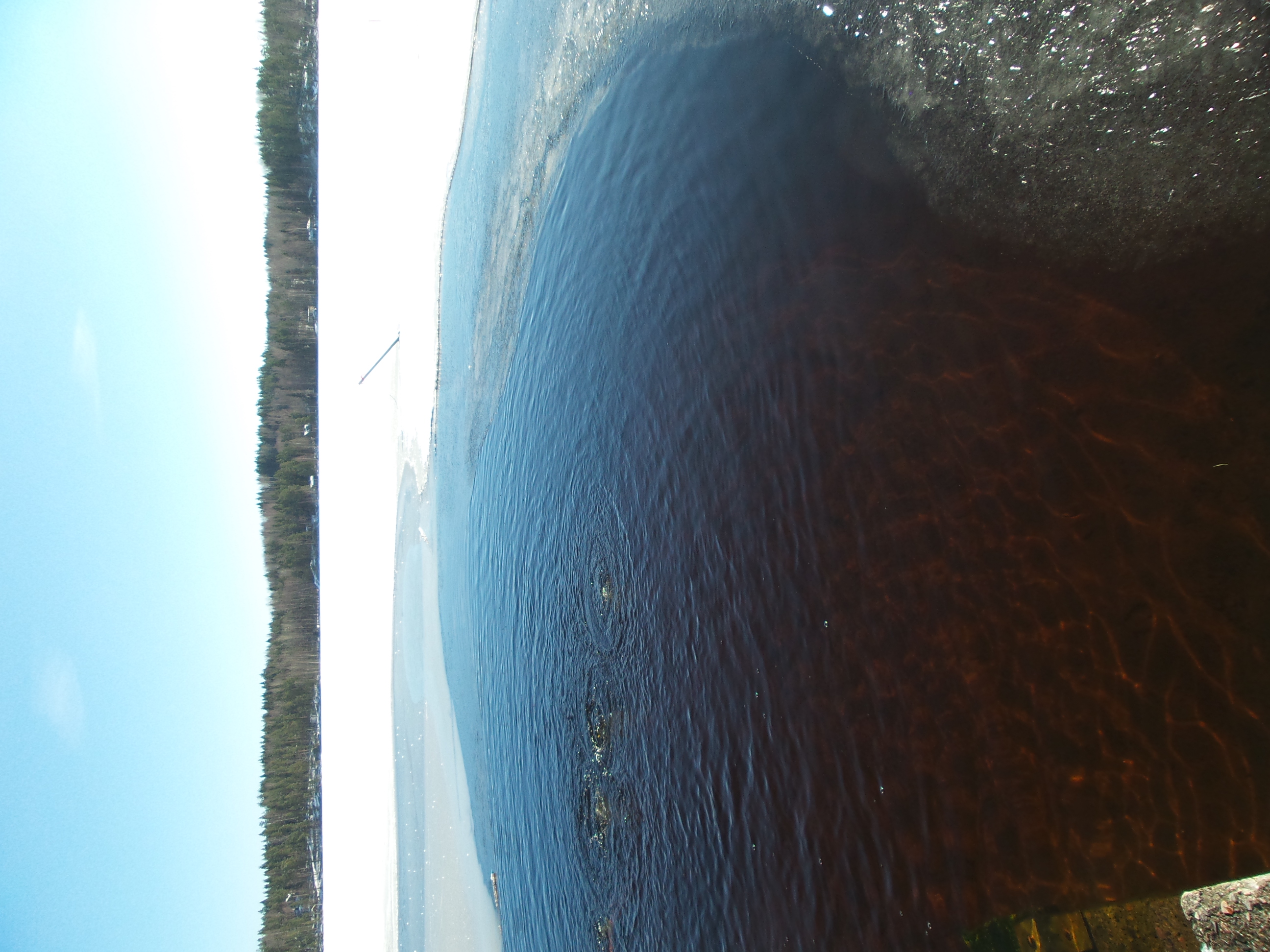
First ice

At Johanna's cottage

Shades of grey
Take 2

Watch in the same direction... IV
Take 1
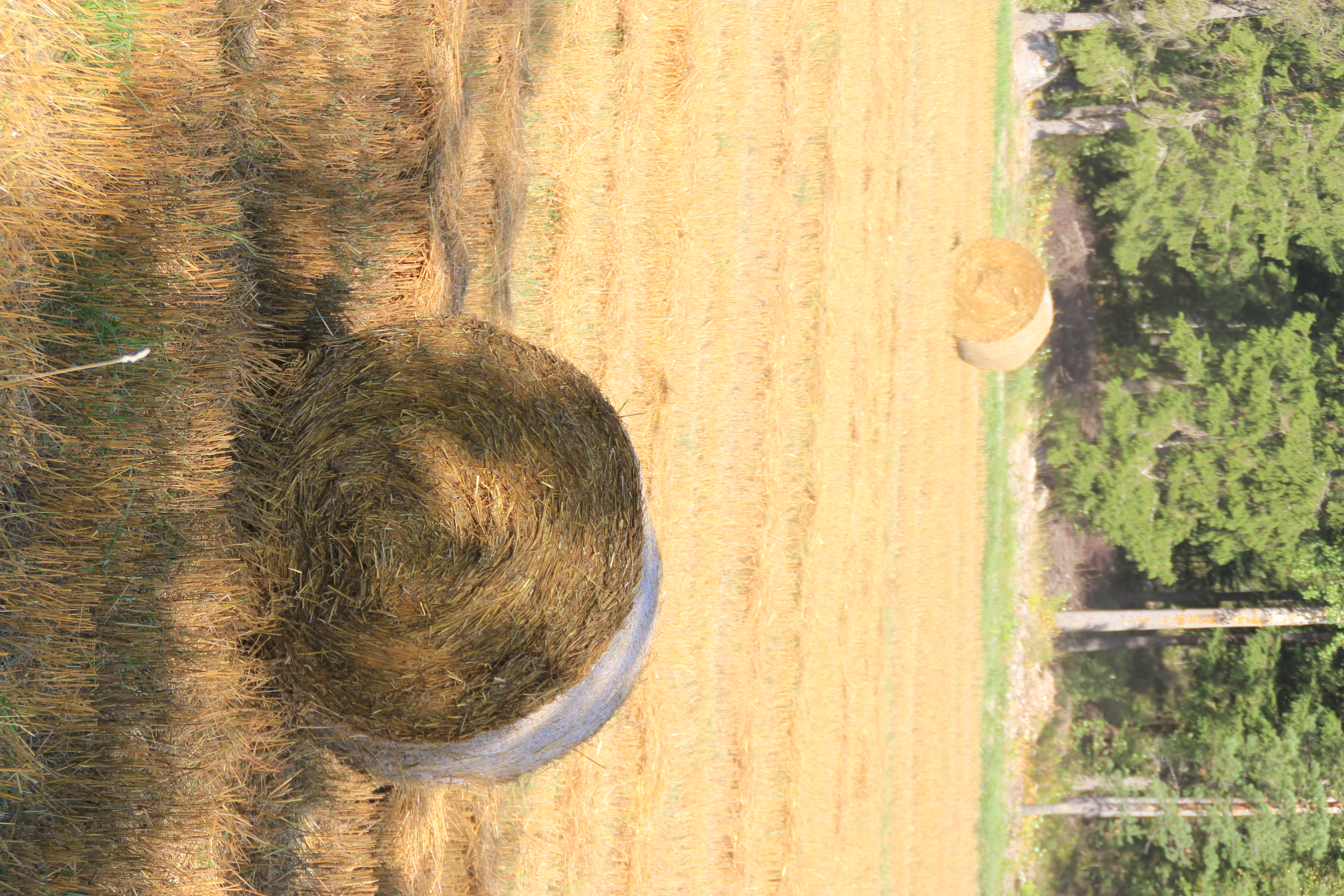
Straw rolls made after harvesting
Swimming time!
Iso-Kukkanen

Took a walk on ice during boys 3rd training inside

Winter in Kukkasjoki

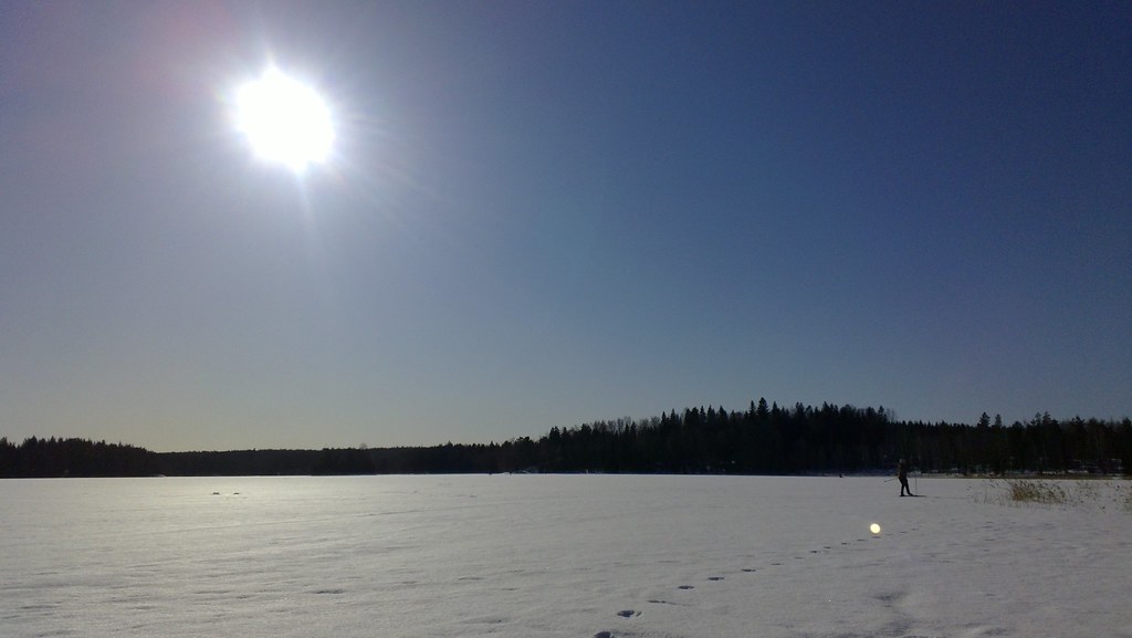
Winter wonderland

Snow in Central Finland

JFRM-2015-05-0544.jpg
Topographic Map of Kaunistontie, Iitti, Finland
Find elevation by address:

Places near Kaunistontie, Iitti, Finland:
Kalaksuentie, Iitti, Finland
Soinintie, Iitti, Finland
Riutanpääntie, Iitti, Finland
Vuolenkoskentie, Iitti, Finland
Metsäläntie 37, Iitti, Finland
Ratulan Myllytie, Orimattila, Finland
Heinola
Tuurinkorventie 31, Iitti, Finland
Heivatajantie 4, Orimattila, Finland
Iitti
Urajärventie 56, Iitti, Finland
Heinola
Mettikyläntie 57, Kouvola, Finland
Ronsilta 28, Heinola, Finland
Ahtialantie, Lahti, Finland
Helsingintie, Lapinjärvi, Finland
Ansalahdentie, Kouvola, Finland
Kuuksontie, Iitti, Finland
Inginmaantie, Iitti, Finland
Lapinjärvi
Recent Searches:
- Elevation of Corso Fratelli Cairoli, 35, Macerata MC, Italy
- Elevation of Tallevast Rd, Sarasota, FL, USA
- Elevation of 4th St E, Sonoma, CA, USA
- Elevation of Black Hollow Rd, Pennsdale, PA, USA
- Elevation of Oakland Ave, Williamsport, PA, USA
- Elevation of Pedrógão Grande, Portugal
- Elevation of Klee Dr, Martinsburg, WV, USA
- Elevation of Via Roma, Pieranica CR, Italy
- Elevation of Tavkvetili Mountain, Georgia
- Elevation of Hartfords Bluff Cir, Mt Pleasant, SC, USA