Elevation of Ansalahdentie, Kouvola, Finland
Location: Finland > Kouvola > Kouvola >
Longitude: 26.4389039
Latitude: 61.1764726
Elevation: 94m / 308feet
Barometric Pressure: 100KPa
Elevation Map:
Satellite Map:
Related Photos:
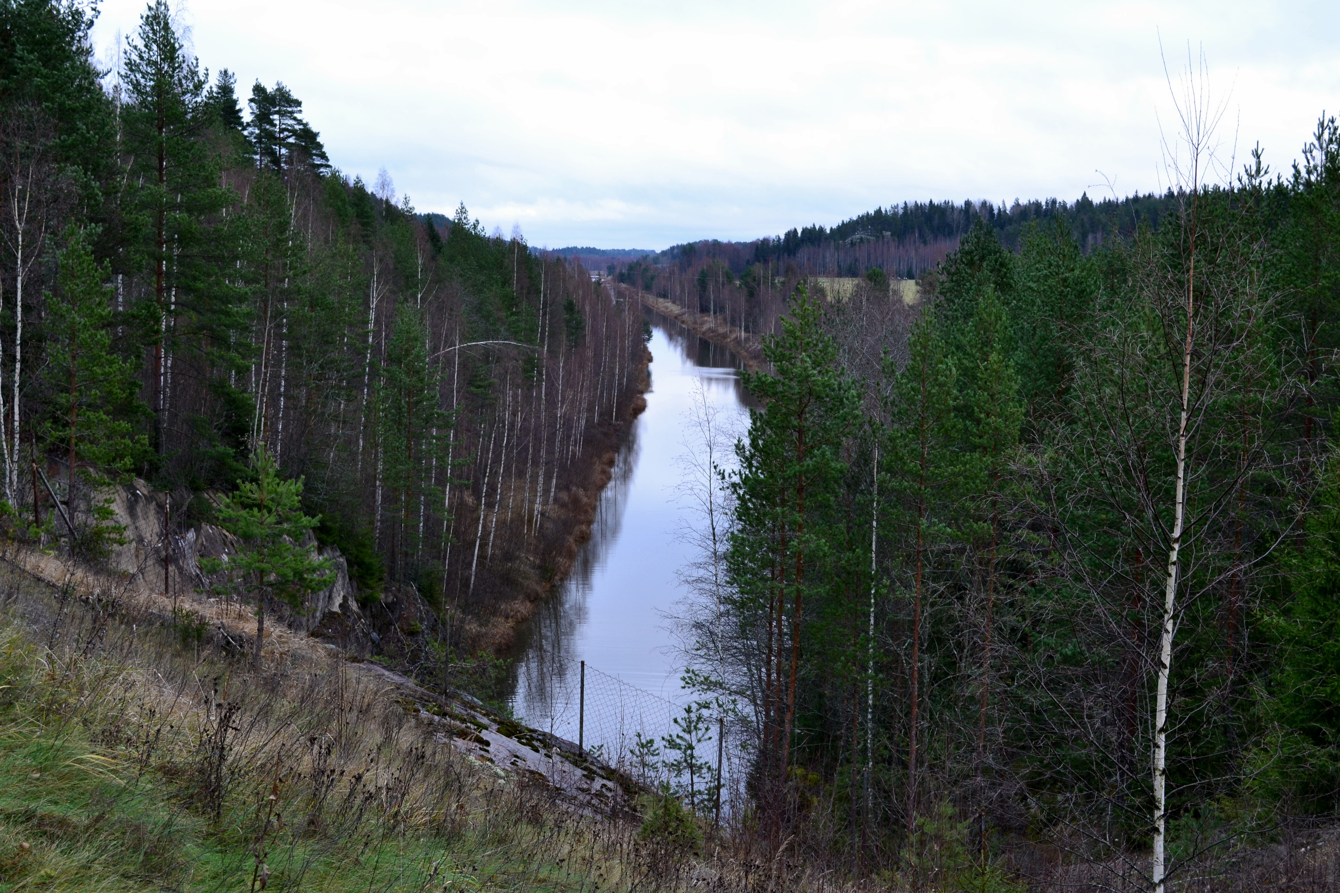
Kimola channel, view southeast of Vierumäentie, Jaala, 2011113

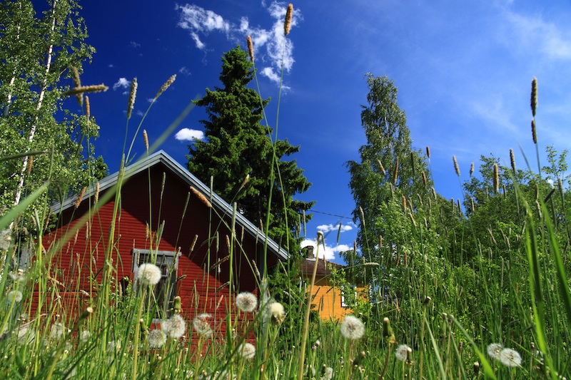
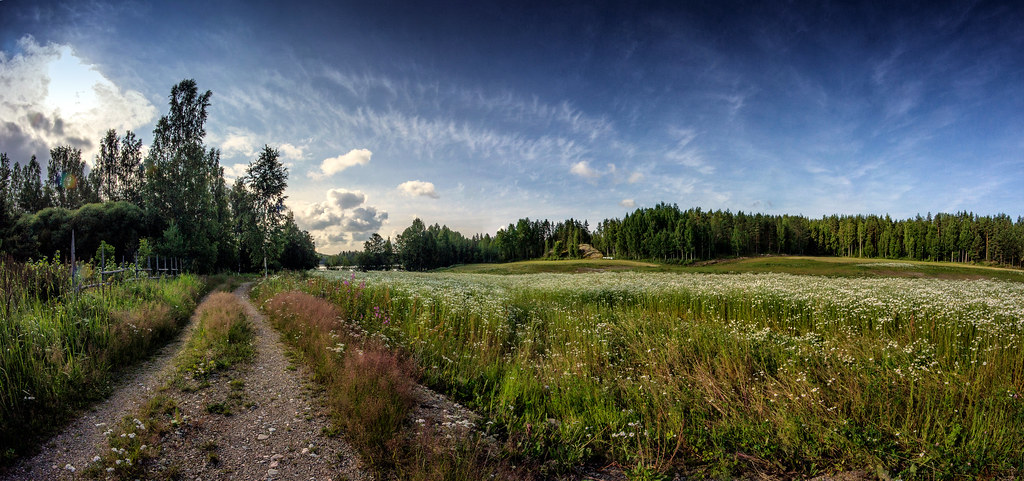
Summer meadow in morning lights
Finish Sunner

Flower sea
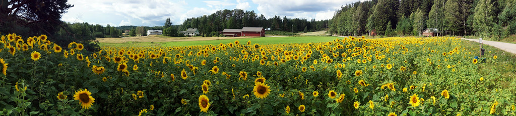
Sunflower panorama

Misty morning
Winter is coming

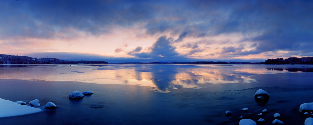
Autumn lake

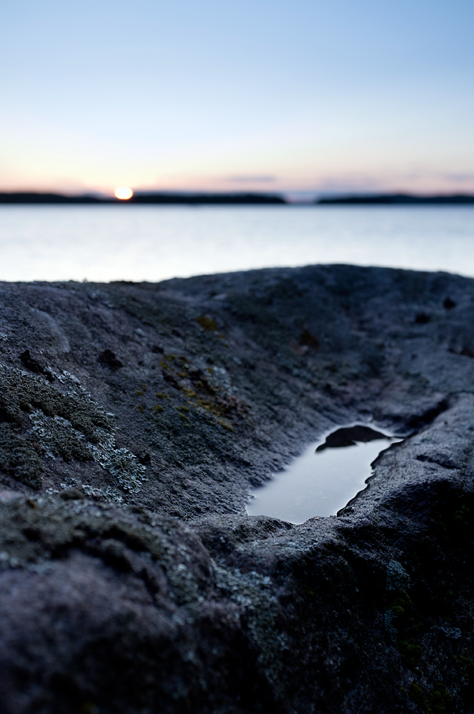
Blue water
Flower fields

Spring lights
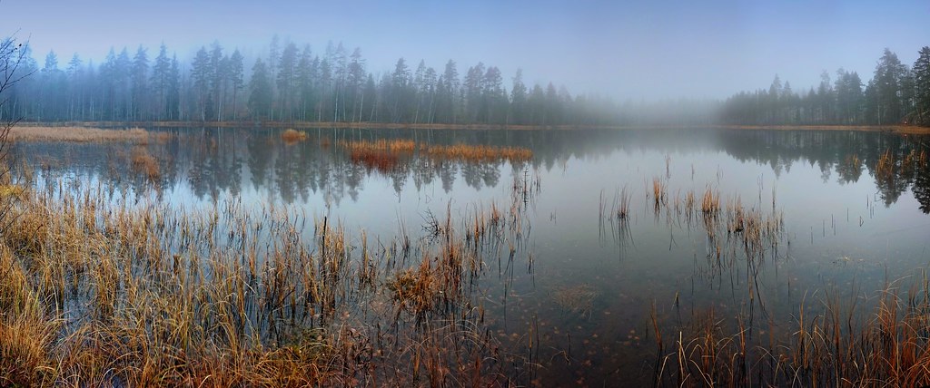
Misty day
Little brother
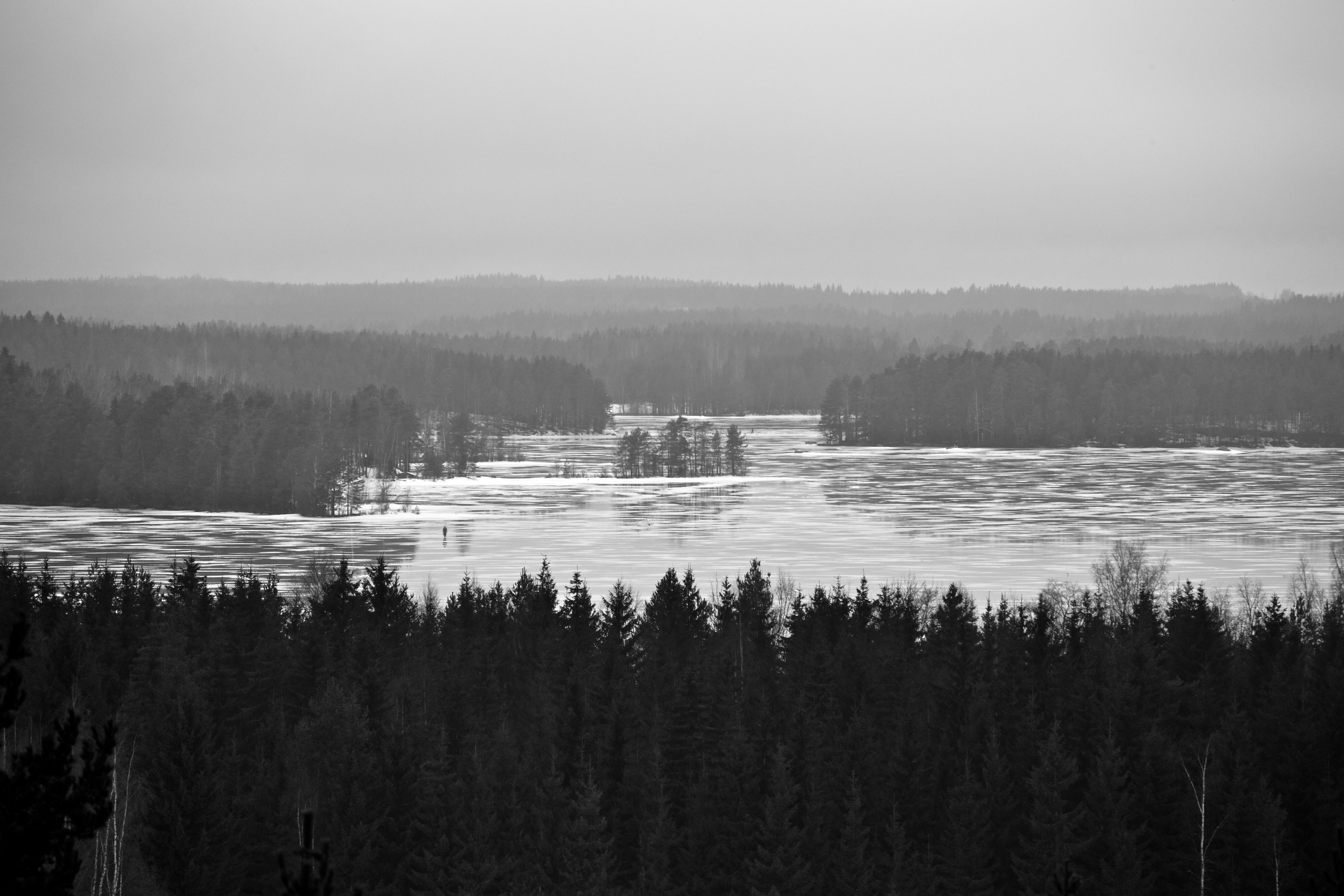
ice fishing on a melting ice

At Johanna's cottage
Birch forest

Summer day
Topographic Map of Ansalahdentie, Kouvola, Finland
Find elevation by address:

Places near Ansalahdentie, Kouvola, Finland:
Mettikyläntie 57, Kouvola, Finland
Kantokoskentie 16, Kouvola, Finland
Ruokoniementie, Kouvola, Finland
Häränniemi, Heinola, Finland
Pahasaarentie 77, Kouvola, Finland
Verlantie, Kouvola, Finland
Nuumaniementie, Kouvola, Finland
Iitti
Soinintie, Iitti, Finland
Heinola
Suolajärventie, Kouvola, Finland
Taavintie 12, Kouvola, Finland
Kalaksuentie, Iitti, Finland
Urajärventie 56, Iitti, Finland
Tuurinkorventie 31, Iitti, Finland
Sirkunkuja 5, Kouvola, Finland
Puistolehmuksentie 14, Kouvola, Finland
Mäntyharju
Maunukselantie 6
Ellintie 7, Kouvola, Finland
Recent Searches:
- Elevation of Corso Fratelli Cairoli, 35, Macerata MC, Italy
- Elevation of Tallevast Rd, Sarasota, FL, USA
- Elevation of 4th St E, Sonoma, CA, USA
- Elevation of Black Hollow Rd, Pennsdale, PA, USA
- Elevation of Oakland Ave, Williamsport, PA, USA
- Elevation of Pedrógão Grande, Portugal
- Elevation of Klee Dr, Martinsburg, WV, USA
- Elevation of Via Roma, Pieranica CR, Italy
- Elevation of Tavkvetili Mountain, Georgia
- Elevation of Hartfords Bluff Cir, Mt Pleasant, SC, USA