Elevation of Kathy Dianne Drive, South Carolina, USA
Location: United States > South Carolina > York County > Fort Mill >
Longitude: -80.852629
Latitude: 34.9419286
Elevation: 174m / 571feet
Barometric Pressure: 99KPa
Elevation Map:
Satellite Map:
Related Photos:

The Migration
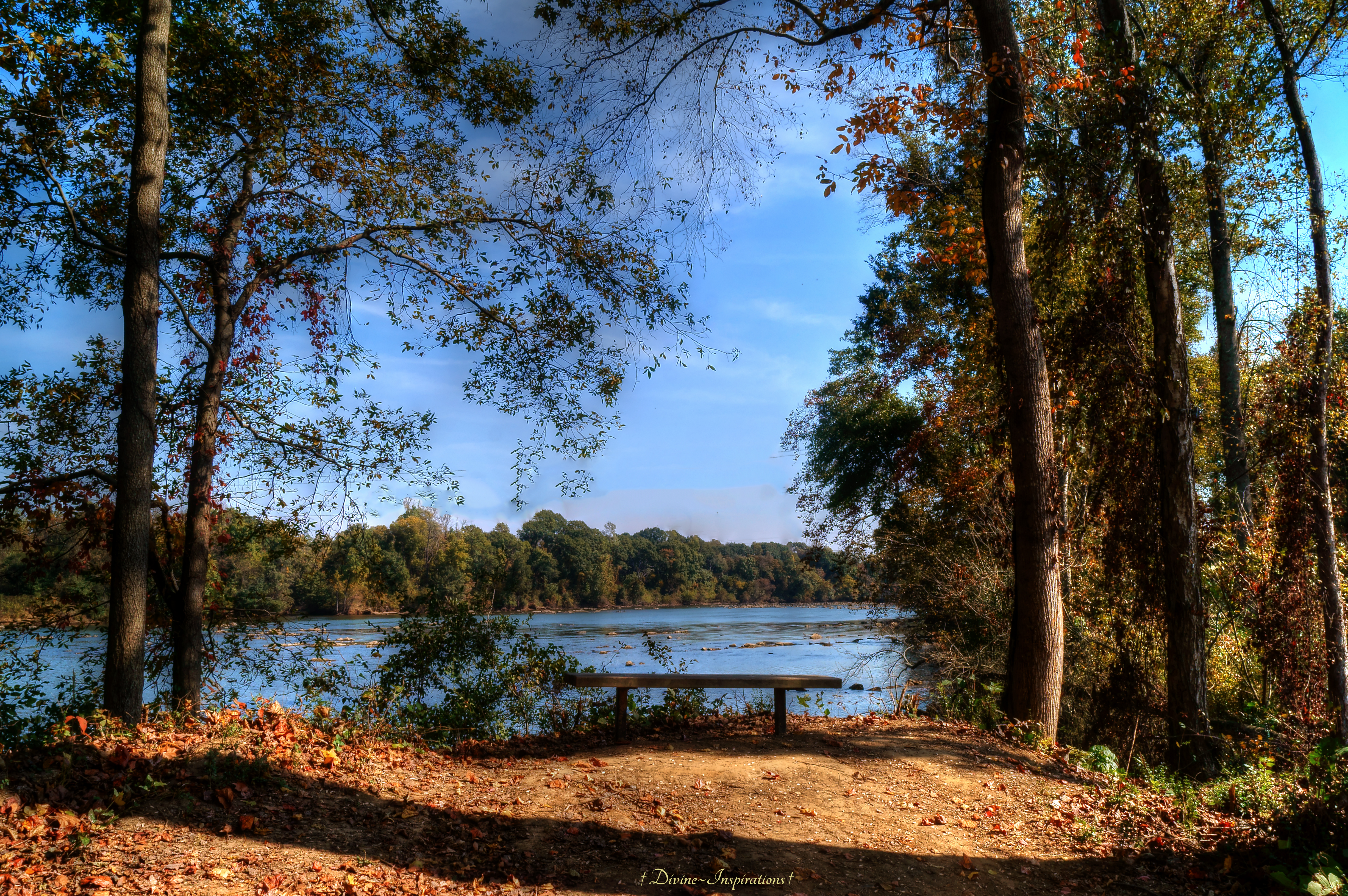
Bench With a View

Guiding Light

Doris_DxO / PS CS6

Storm Over Barn
The Boat Rentals-HDR

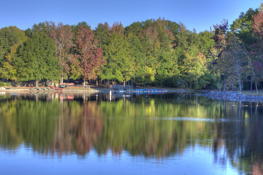
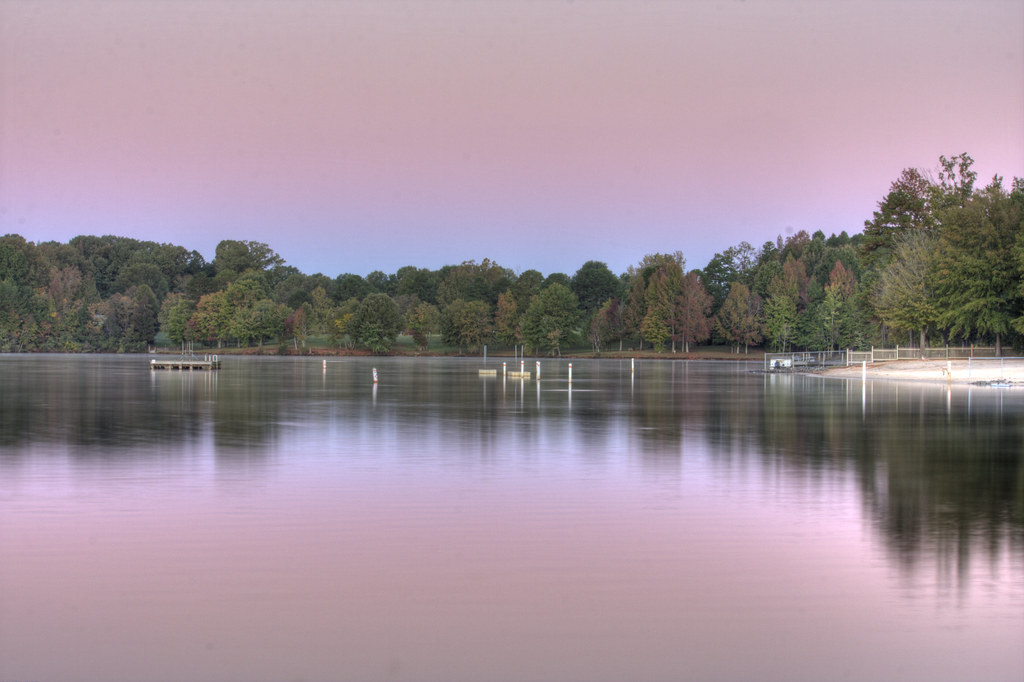
October Morning Reflection

The Queen City

A Spring Scene at the Marsh
Our morning walk

The Ballantyne, Charlotte—Golf Course
Cane Creek-HDR

DSC_0247-1

Cane Creek Boat Rentals-HDR
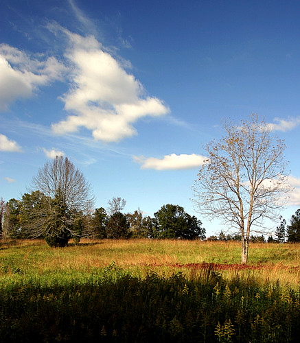
my field
The Raft-HDR
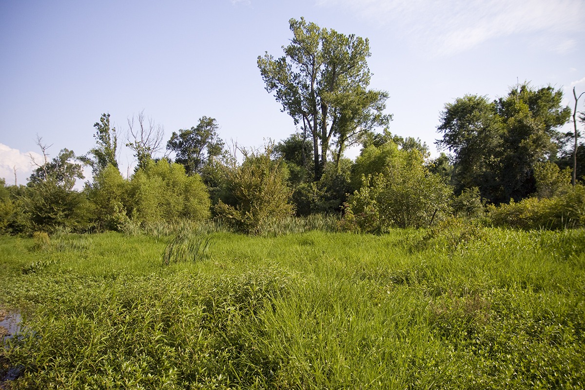
lowerMcA wetland

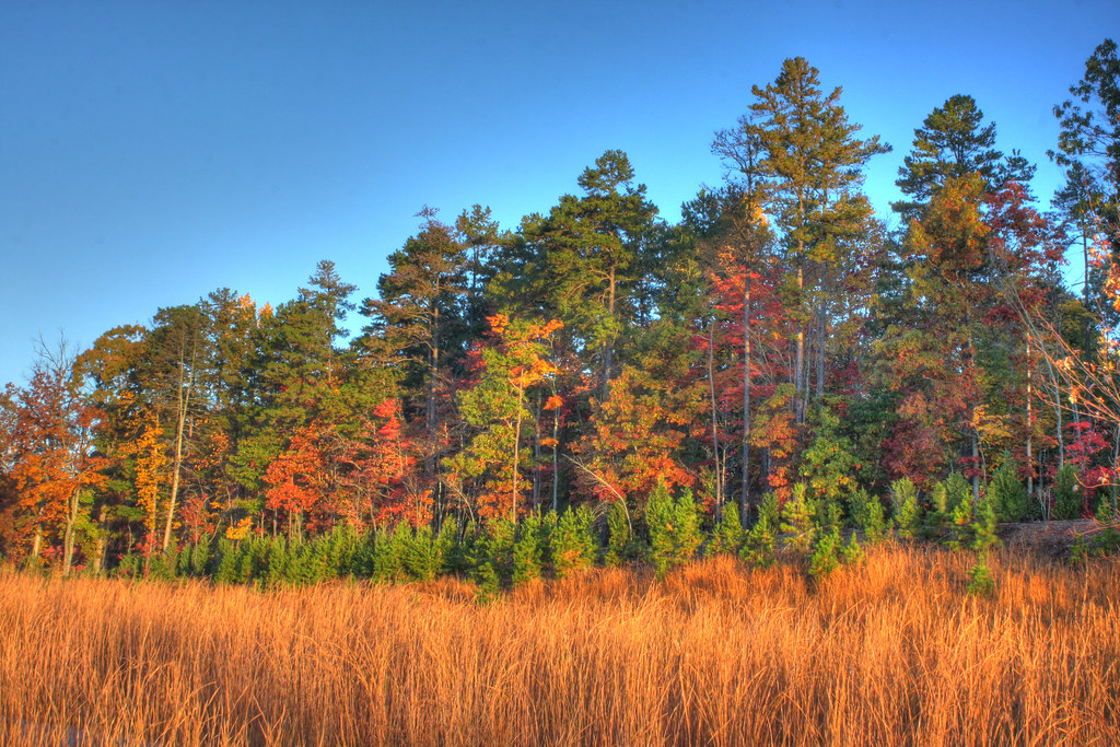
Harvest Time in Wesley Chapel

Morning Pond

4 Mile Creek. Charlotte
Dead End Street
Topographic Map of Kathy Dianne Drive, South Carolina, USA
Find elevation by address:

Places near Kathy Dianne Drive, South Carolina, USA:
20123 Dovekie Ln
829 Spelman Dr
Charlotte Hwy, Fort Mill, SC, USA
1214 Shelly Woods Dr
1214 Shelly Woods Dr
1601 River Bend Boulevard
1032 Wells Ln #295
3001 Autumn Hill Ln
8690 Henry Harris Rd
8054 Asher Chase Trail
6074 Capital Reef Dr
6074 Capital Reef Dr
6074 Capital Reef Dr
Sunset Crater Place
7574 Manakin Pl
2048 Acadia Falls Lane
Sedgefield Drive
6074 Kings Canyon Way
Charlotte Hwy, Lancaster, SC, USA
79172 Ridgehaven Rd
Recent Searches:
- Elevation of Corso Fratelli Cairoli, 35, Macerata MC, Italy
- Elevation of Tallevast Rd, Sarasota, FL, USA
- Elevation of 4th St E, Sonoma, CA, USA
- Elevation of Black Hollow Rd, Pennsdale, PA, USA
- Elevation of Oakland Ave, Williamsport, PA, USA
- Elevation of Pedrógão Grande, Portugal
- Elevation of Klee Dr, Martinsburg, WV, USA
- Elevation of Via Roma, Pieranica CR, Italy
- Elevation of Tavkvetili Mountain, Georgia
- Elevation of Hartfords Bluff Cir, Mt Pleasant, SC, USA