Elevation of Manakin Pl, Indian Land, SC, USA
Location: United States > South Carolina > Lancaster County > Indian Land >
Longitude: -80.811127
Latitude: 34.9664727
Elevation: 180m / 591feet
Barometric Pressure: 99KPa
Elevation Map:
Satellite Map:
Related Photos:
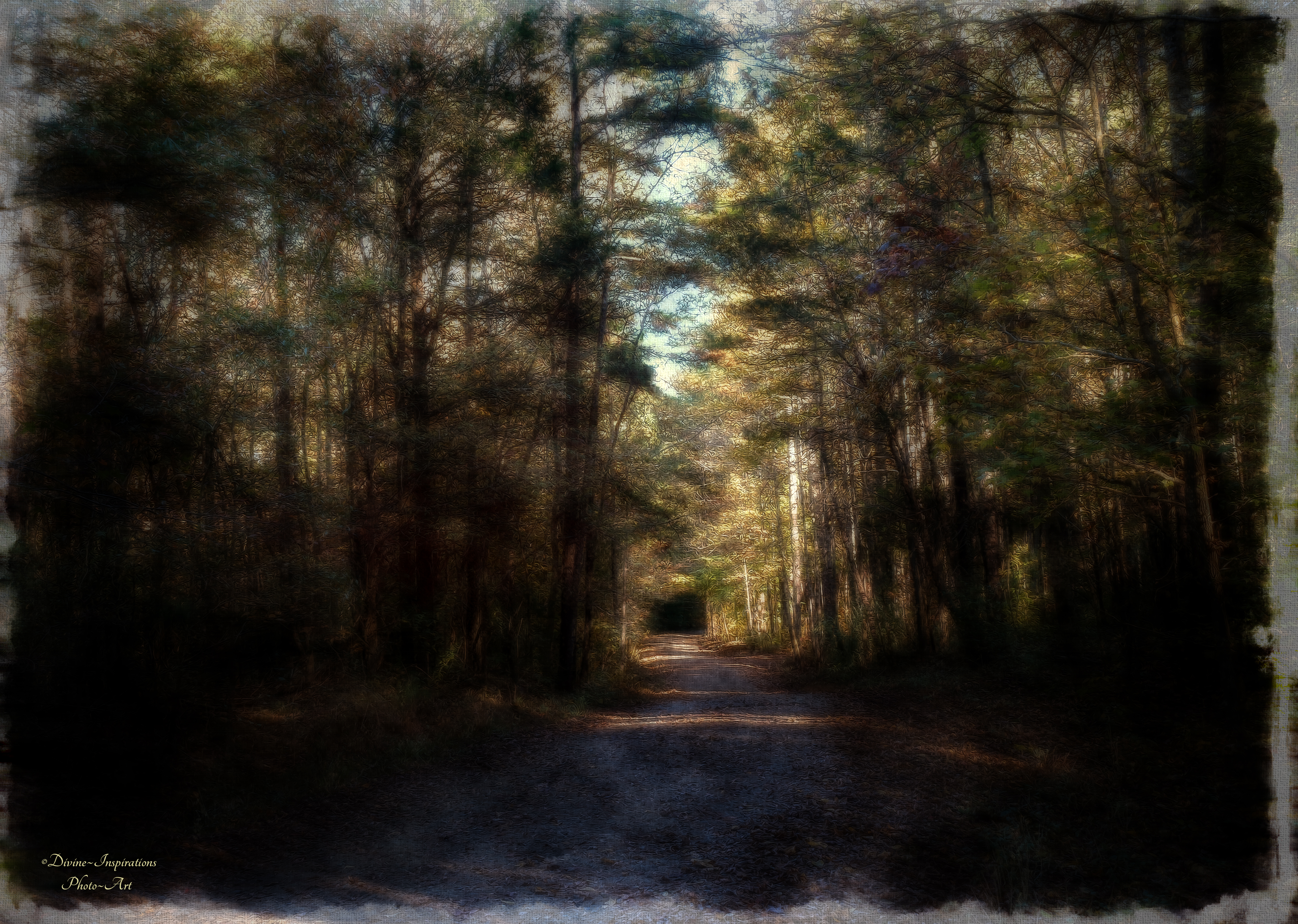
Into the Unknown

Under the Shade Tree
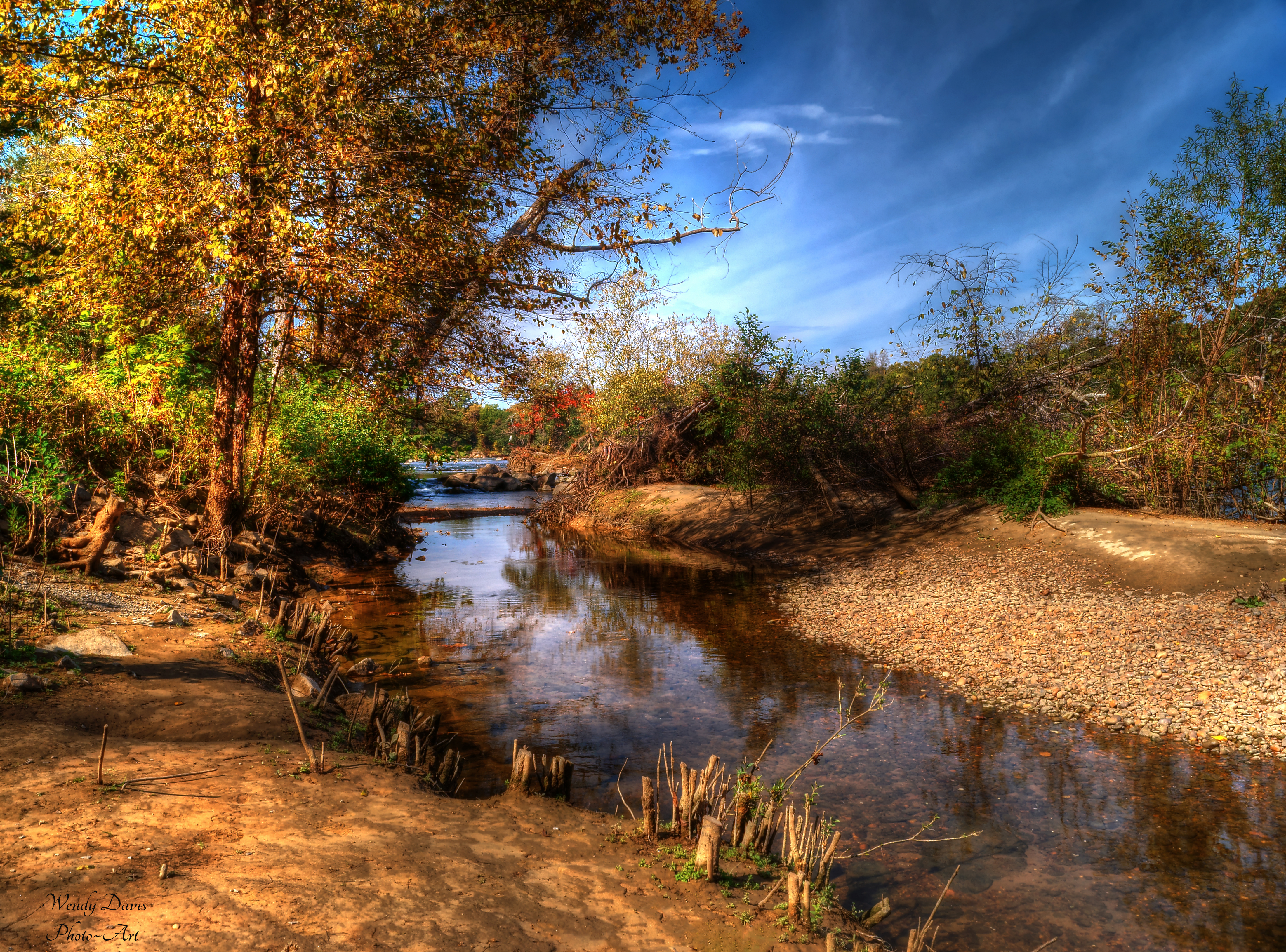
Receding Waterline
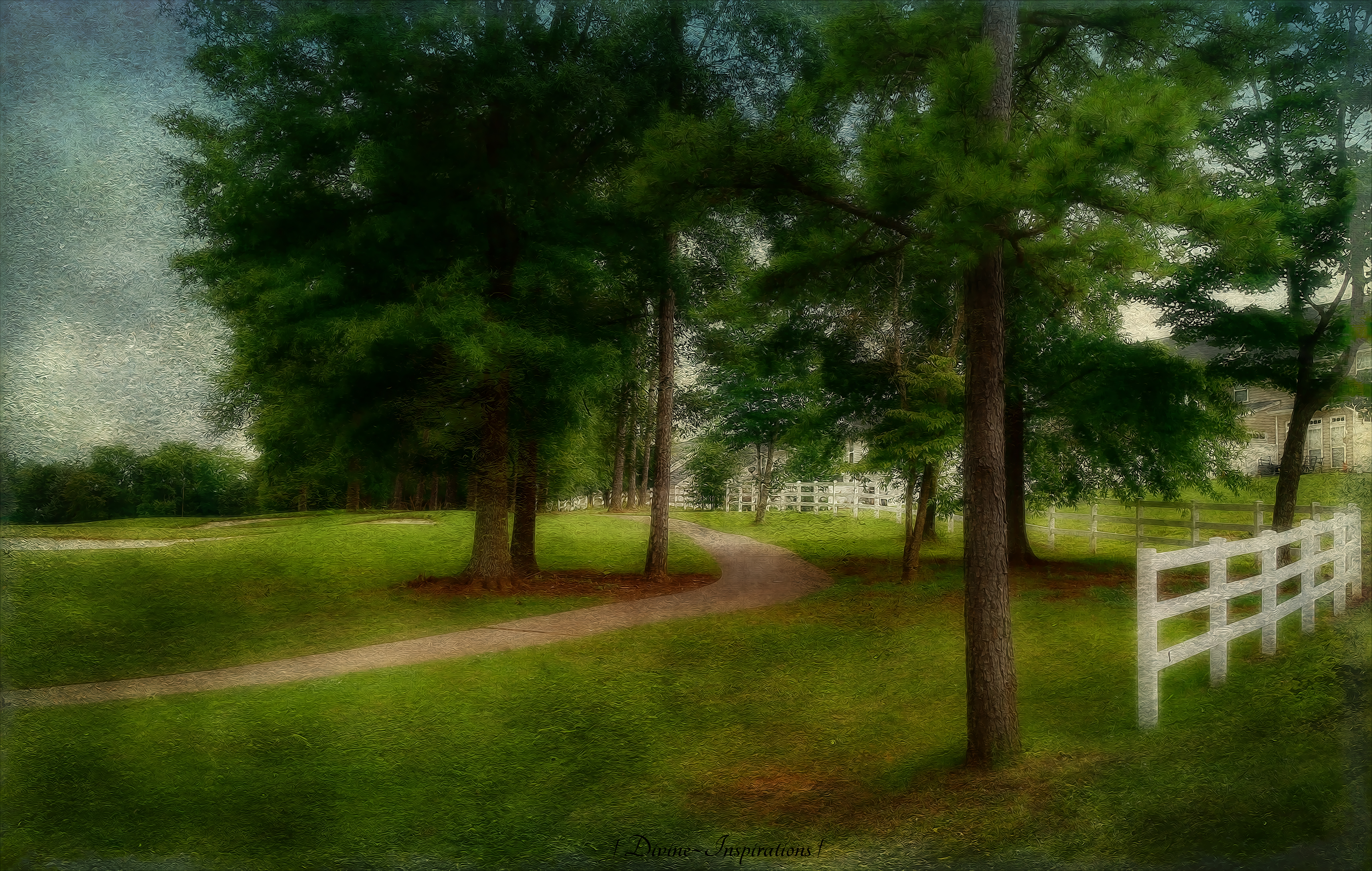
Golf Carts Only

House in a Bubble
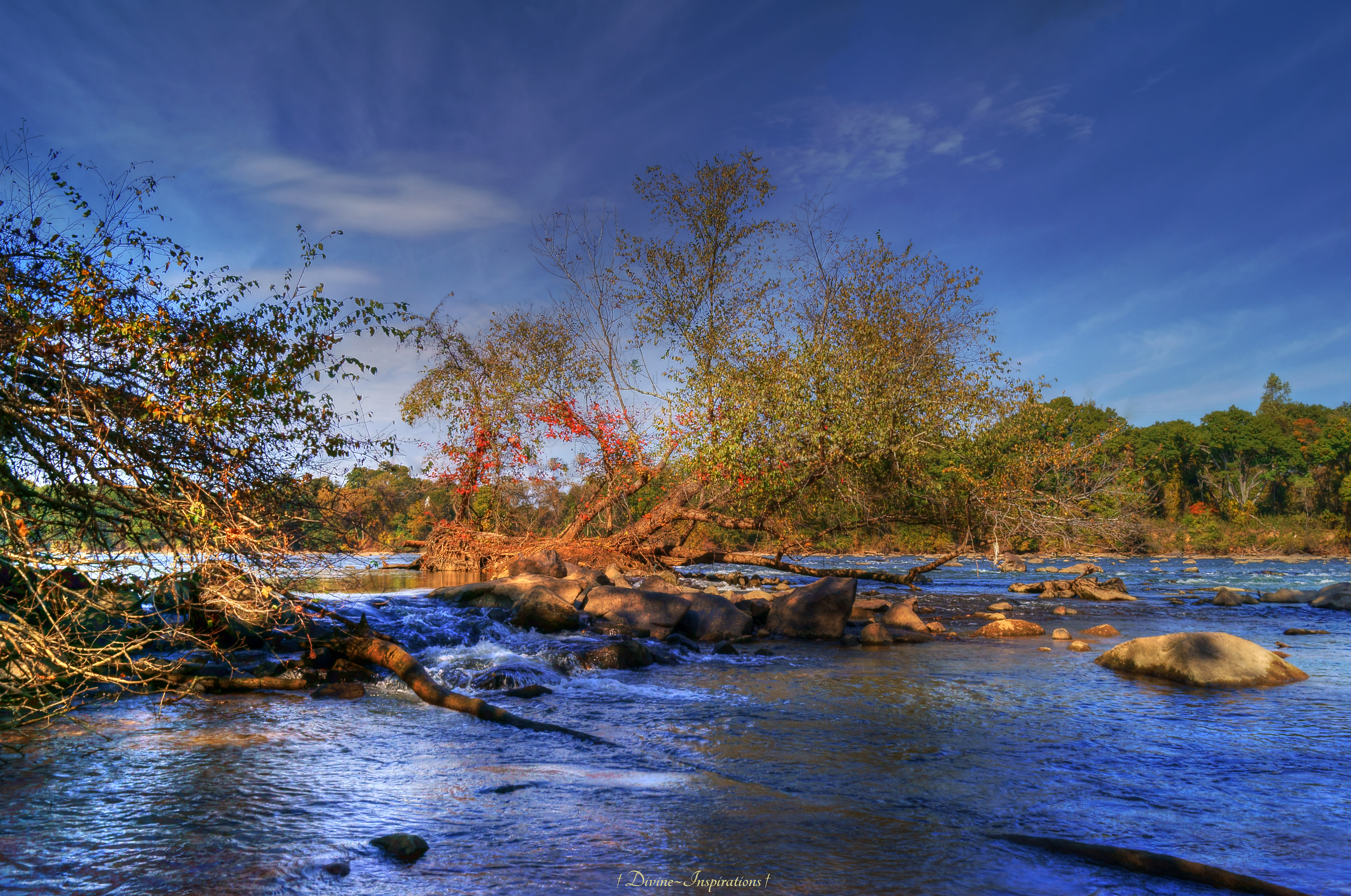
The Wonders of Nature

Calm Reflections
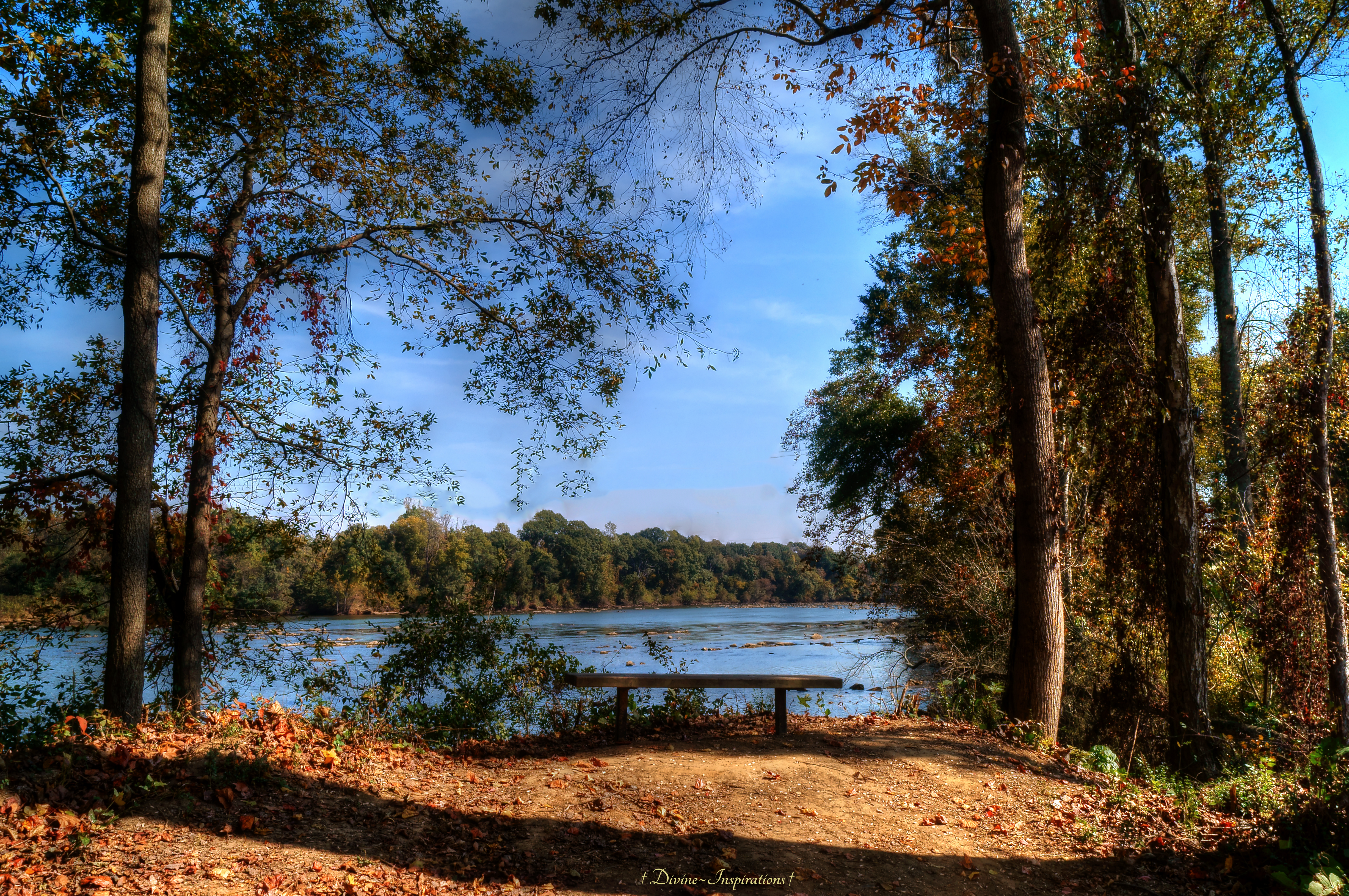
Bench With a View

Passion Flower
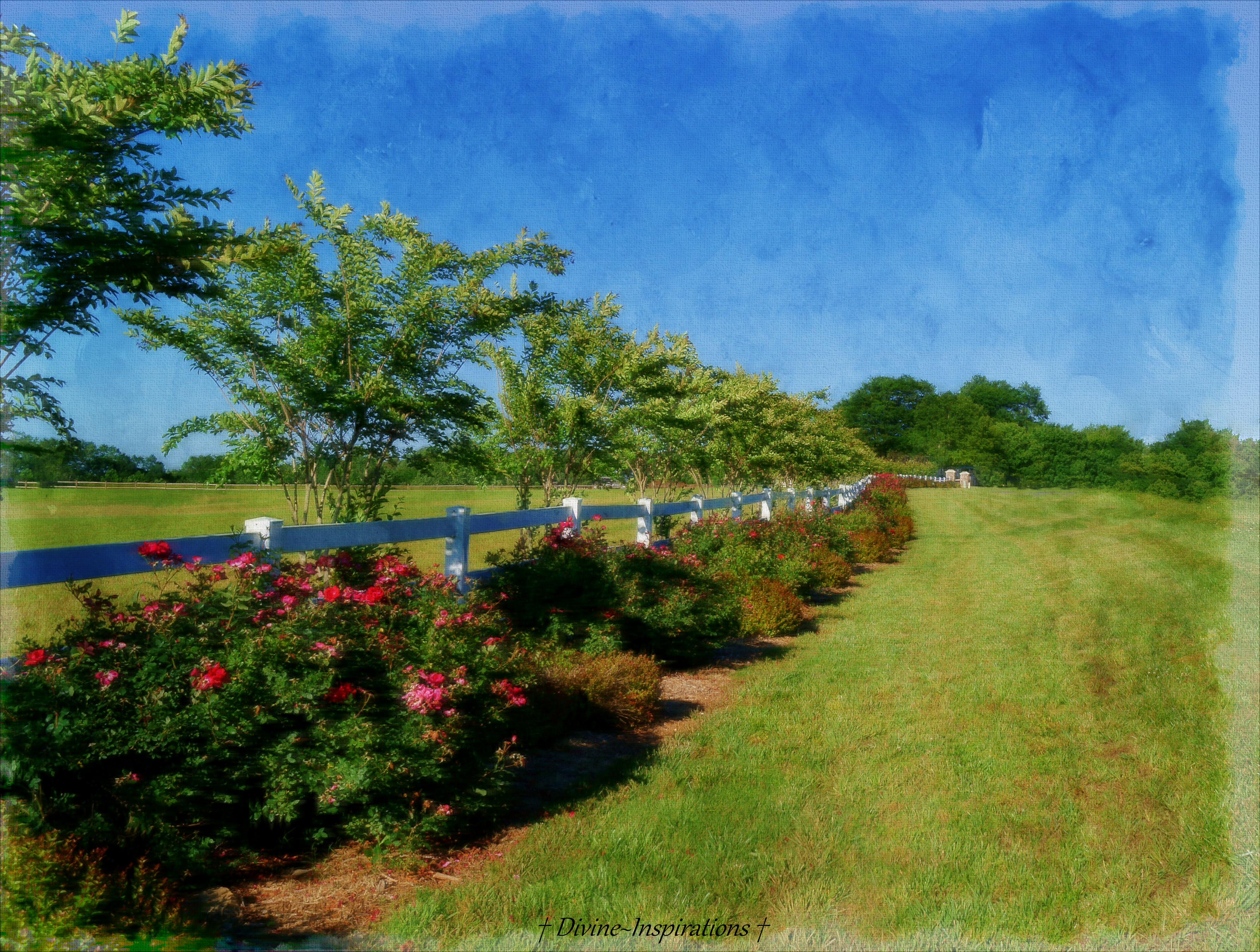
The Fence of Roses

Let There be Light

Small Orb Weaver 3

Swallowtail 8-28-2009 4

Rainbow in the Clouds - Explored

Royal Star Magnolia - 2

Japanese Honeysuckle

Don't Hold Me Back
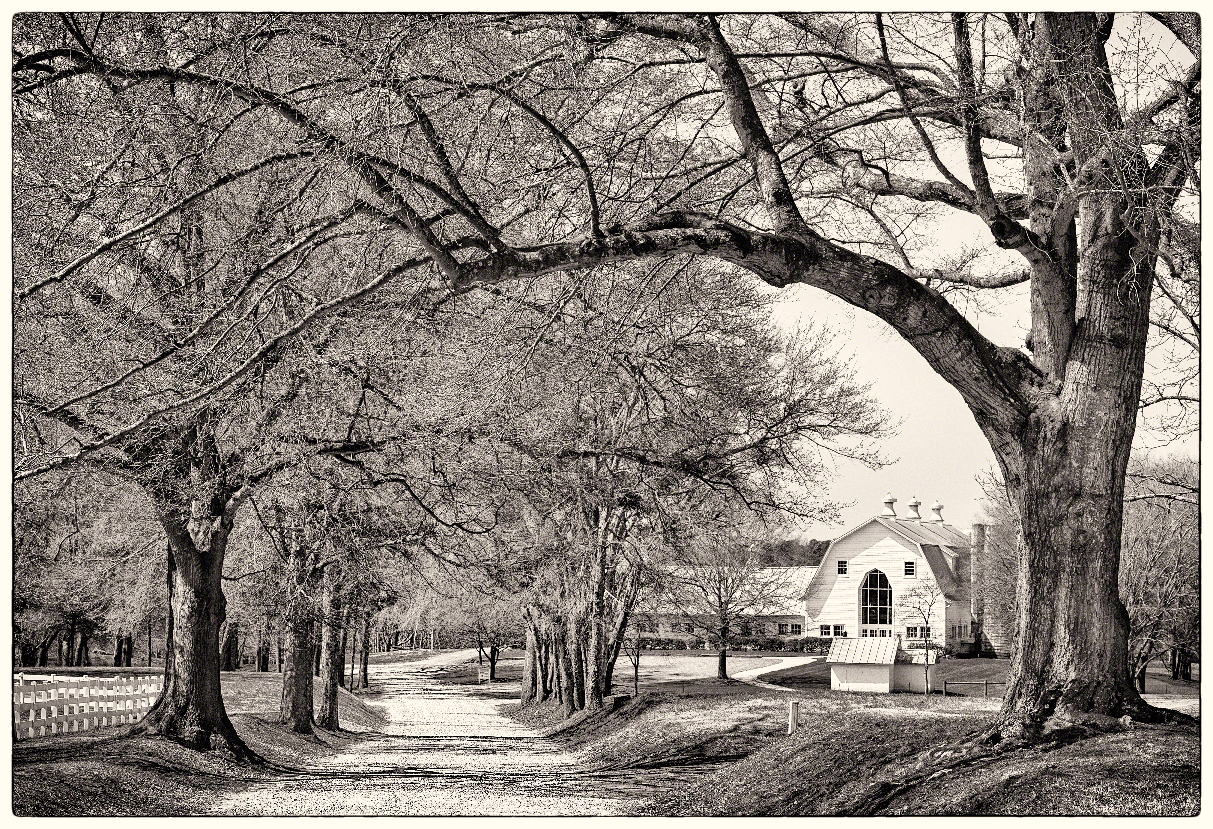
Farm through Trees

Ballantyne At Night

Under Attack
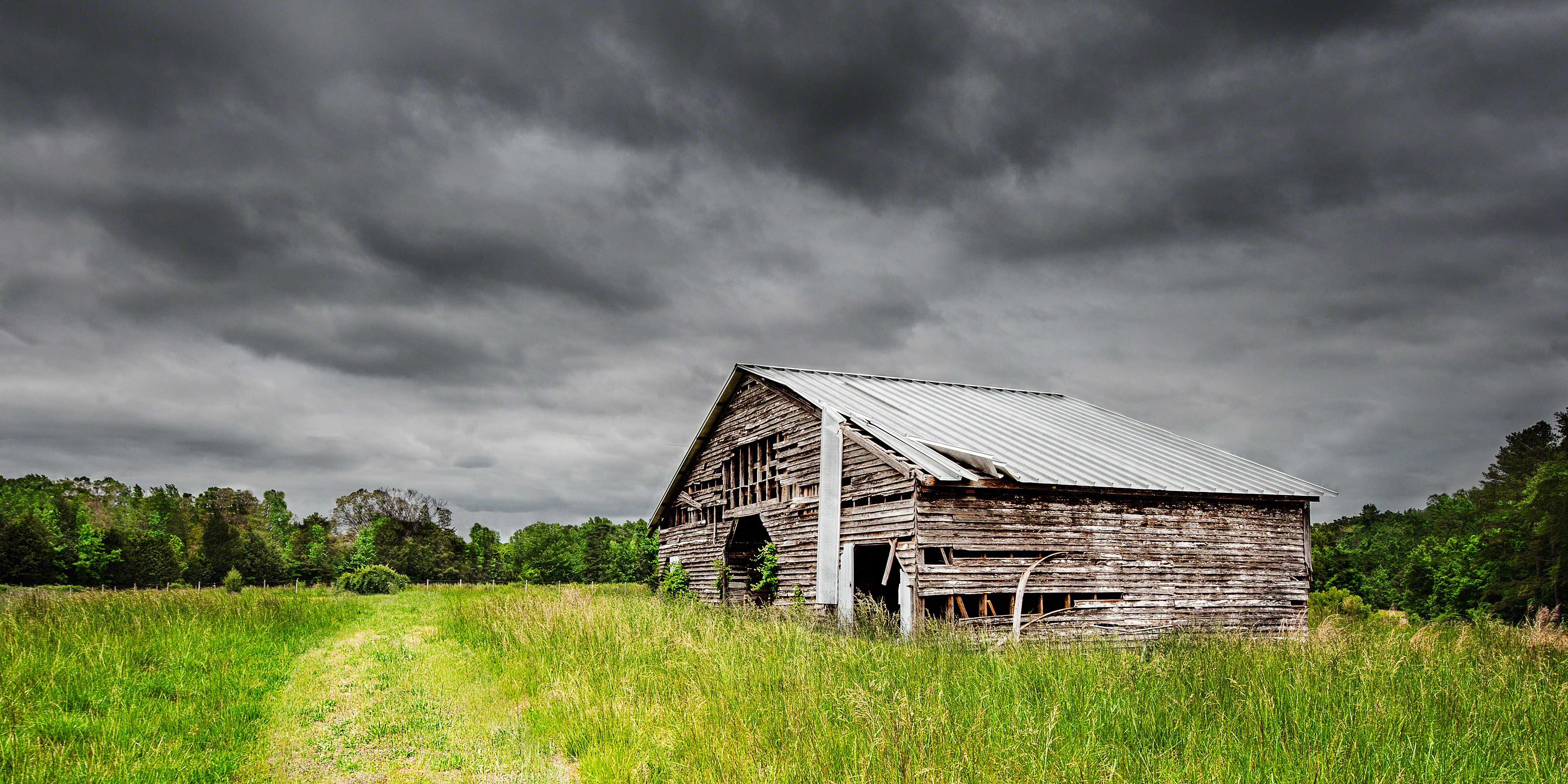
Storm Over Barn
Topographic Map of Manakin Pl, Indian Land, SC, USA
Find elevation by address:

Places near Manakin Pl, Indian Land, SC, USA:
Sedgefield Drive
8690 Henry Harris Rd
3309 Oak Brook Dr
1214 Shelly Woods Dr
1214 Shelly Woods Dr
1032 Wells Ln #295
79172 Ridgehaven Rd
3305 Bridgewick Rd
3229 Bridgewick Rd
4024 Pinebrook Ln
1401 Millbridge Pkwy
829 Spelman Dr
3113 Bridgewick Rd
3028 Bridgewick Rd
1523 Millbridge Pkwy
3029 Bridgewick Rd
3009 Bridgewick Rd
3001 Bridgewick Rd
Charlotte Hwy, Fort Mill, SC, USA
188 Golden View Dr
Recent Searches:
- Elevation of Corso Fratelli Cairoli, 35, Macerata MC, Italy
- Elevation of Tallevast Rd, Sarasota, FL, USA
- Elevation of 4th St E, Sonoma, CA, USA
- Elevation of Black Hollow Rd, Pennsdale, PA, USA
- Elevation of Oakland Ave, Williamsport, PA, USA
- Elevation of Pedrógão Grande, Portugal
- Elevation of Klee Dr, Martinsburg, WV, USA
- Elevation of Via Roma, Pieranica CR, Italy
- Elevation of Tavkvetili Mountain, Georgia
- Elevation of Hartfords Bluff Cir, Mt Pleasant, SC, USA