Elevation of Kanker, Chhattisgarh, India
Location: India > Chhattisgarh > Kanker >
Longitude: 81.4883097
Latitude: 20.2727132
Elevation: 400m / 1312feet
Barometric Pressure: 97KPa
Elevation Map:
Satellite Map:
Related Photos:
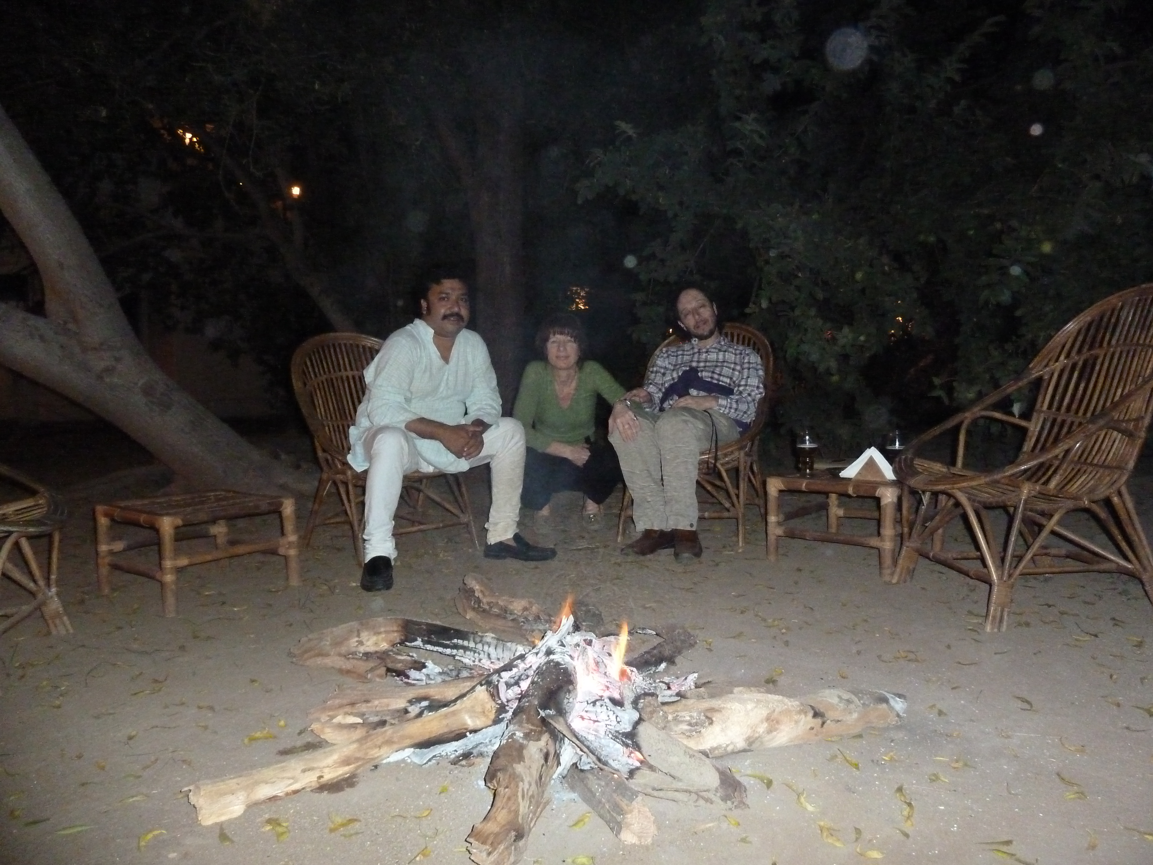
001 1 Feb 2011 Evening Drinks On Arrival At Kanker Palace P1010030
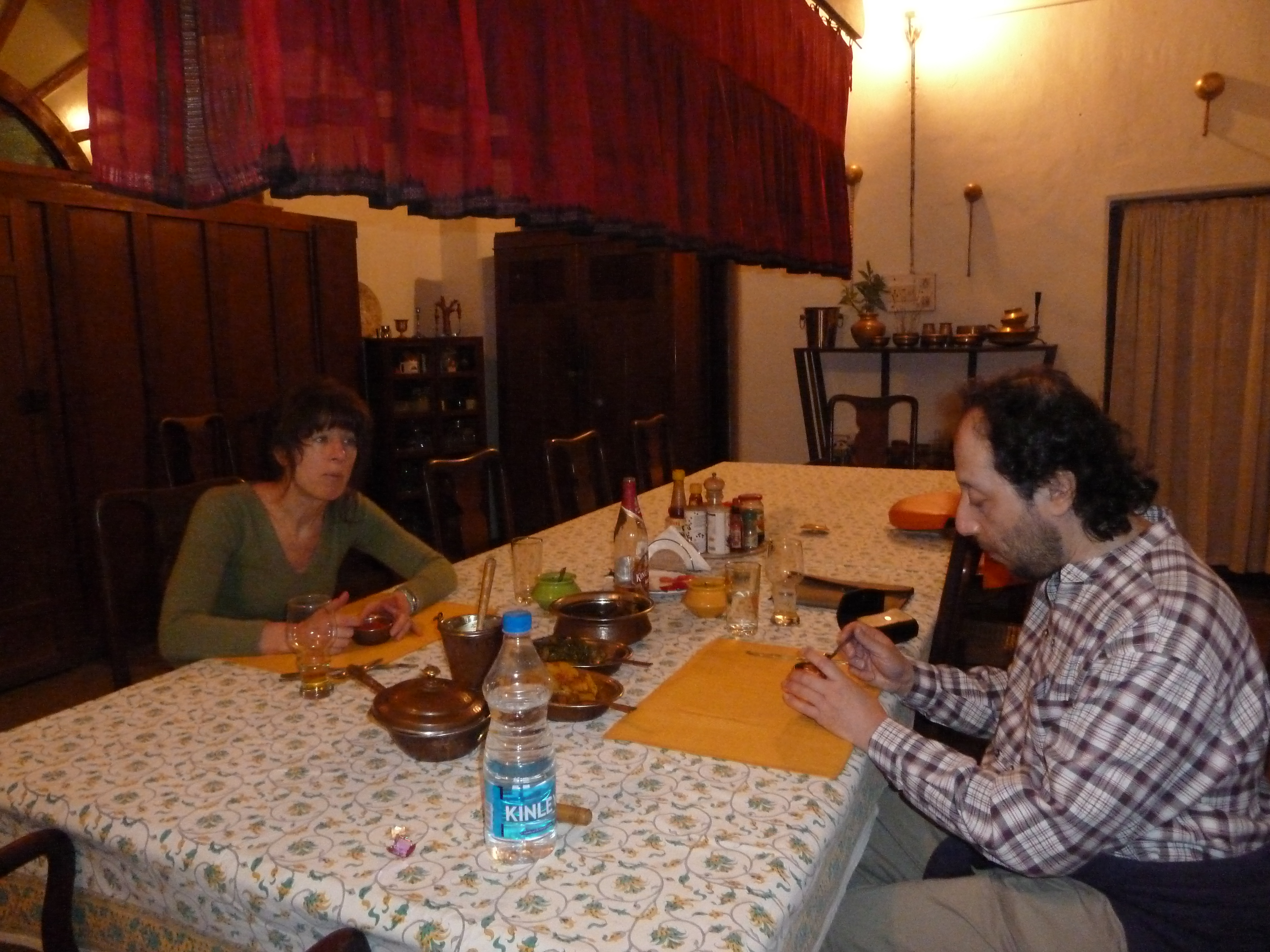
002 Dinner That First Night At Kanker Palace P1010036
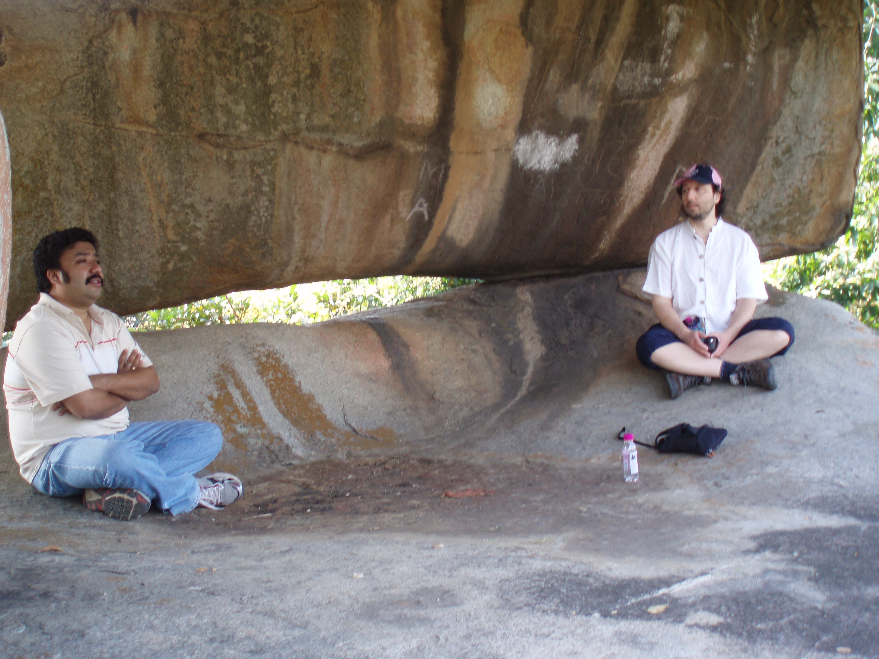
003 2 Feb 2011 Rock Paintings At Udkuda P2020089

004 Rock Paintings At Udkuda P2020090
005 Rock Paintings At Udkuda P1010051
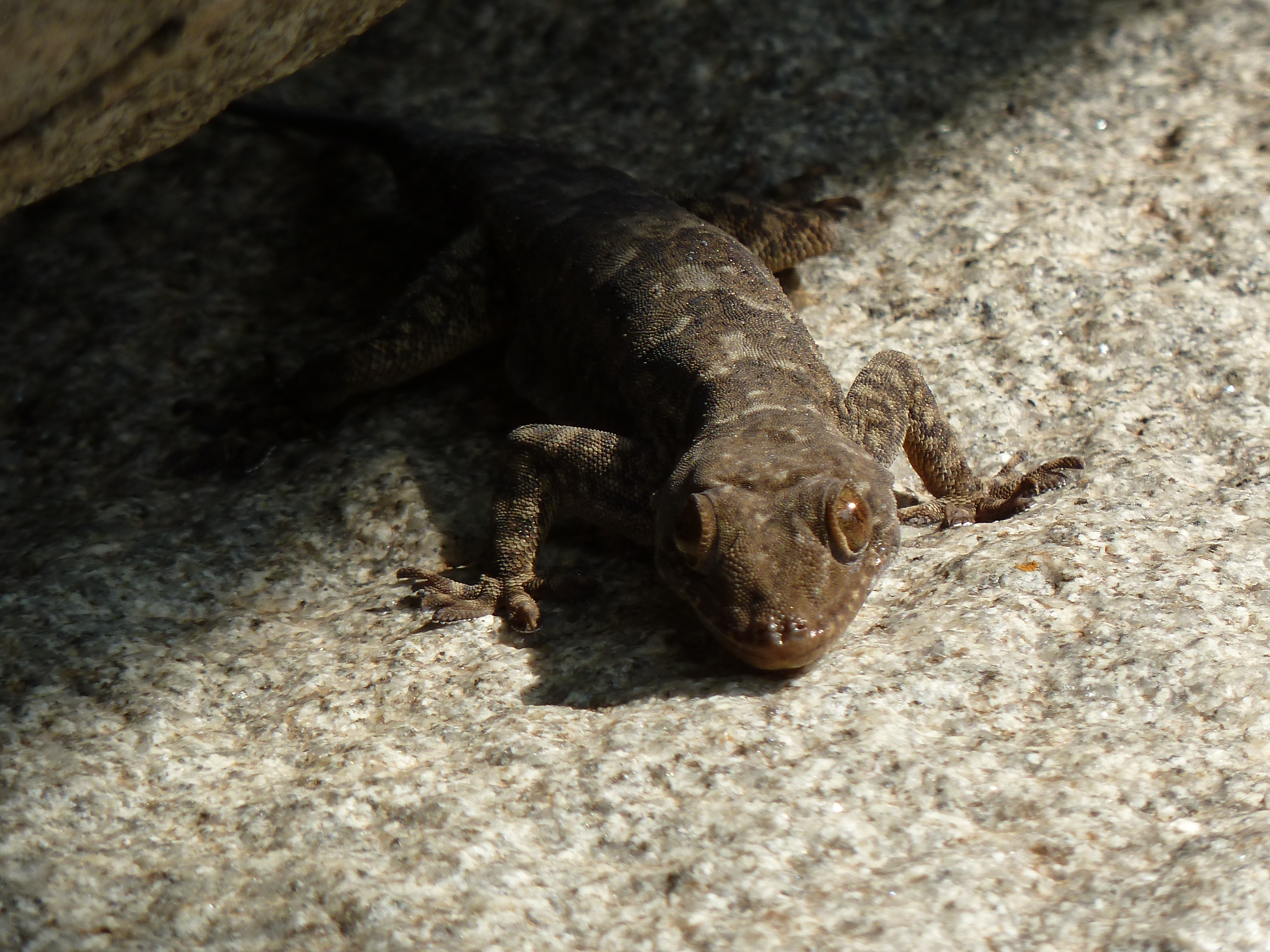
006 Lizard Admiring The Rock Paintings At Udkuda P1010054
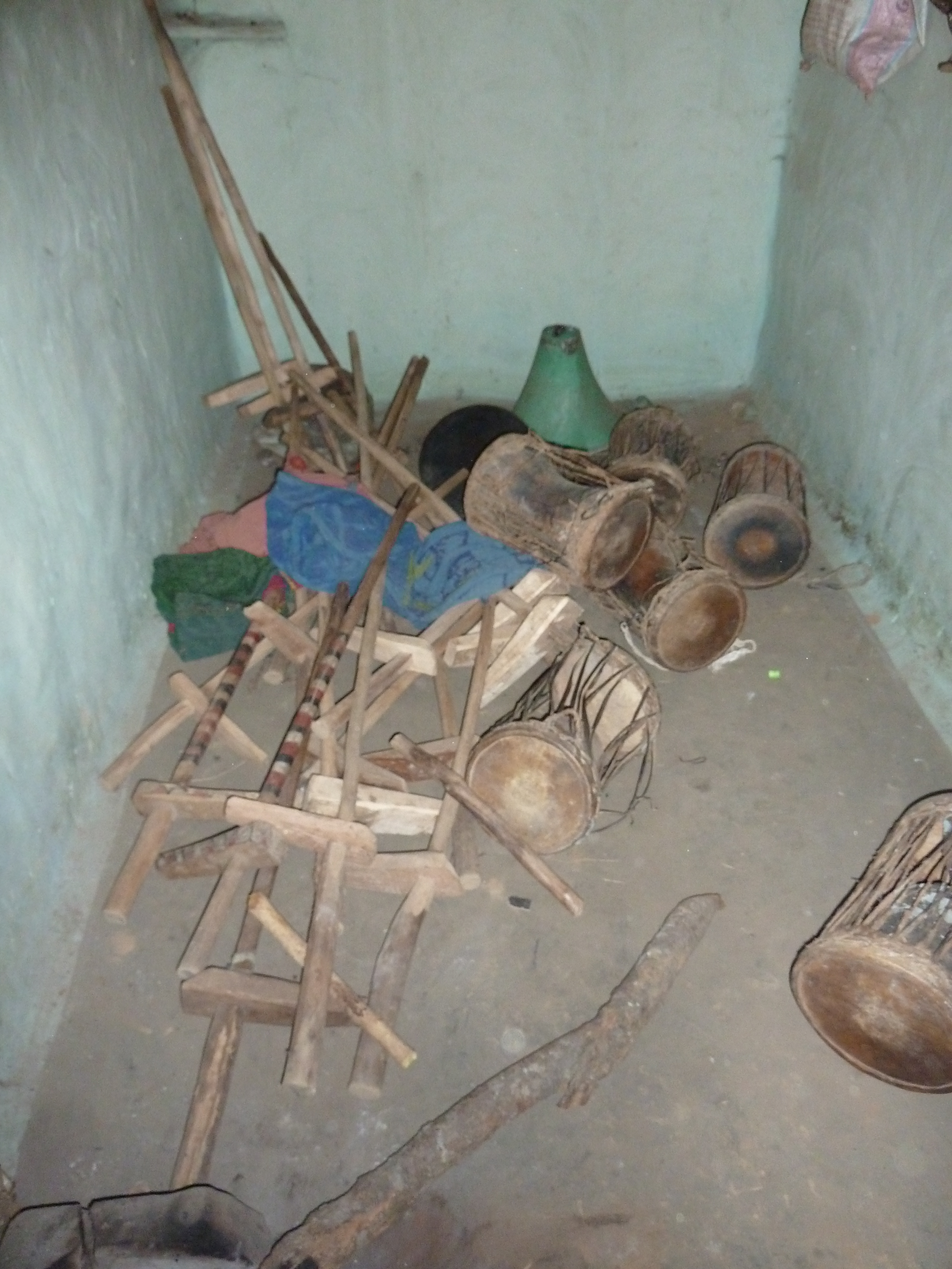
039 Inside The Ghotul In Bhigawn Para Village (Deer Horn Muriya People) P1010132
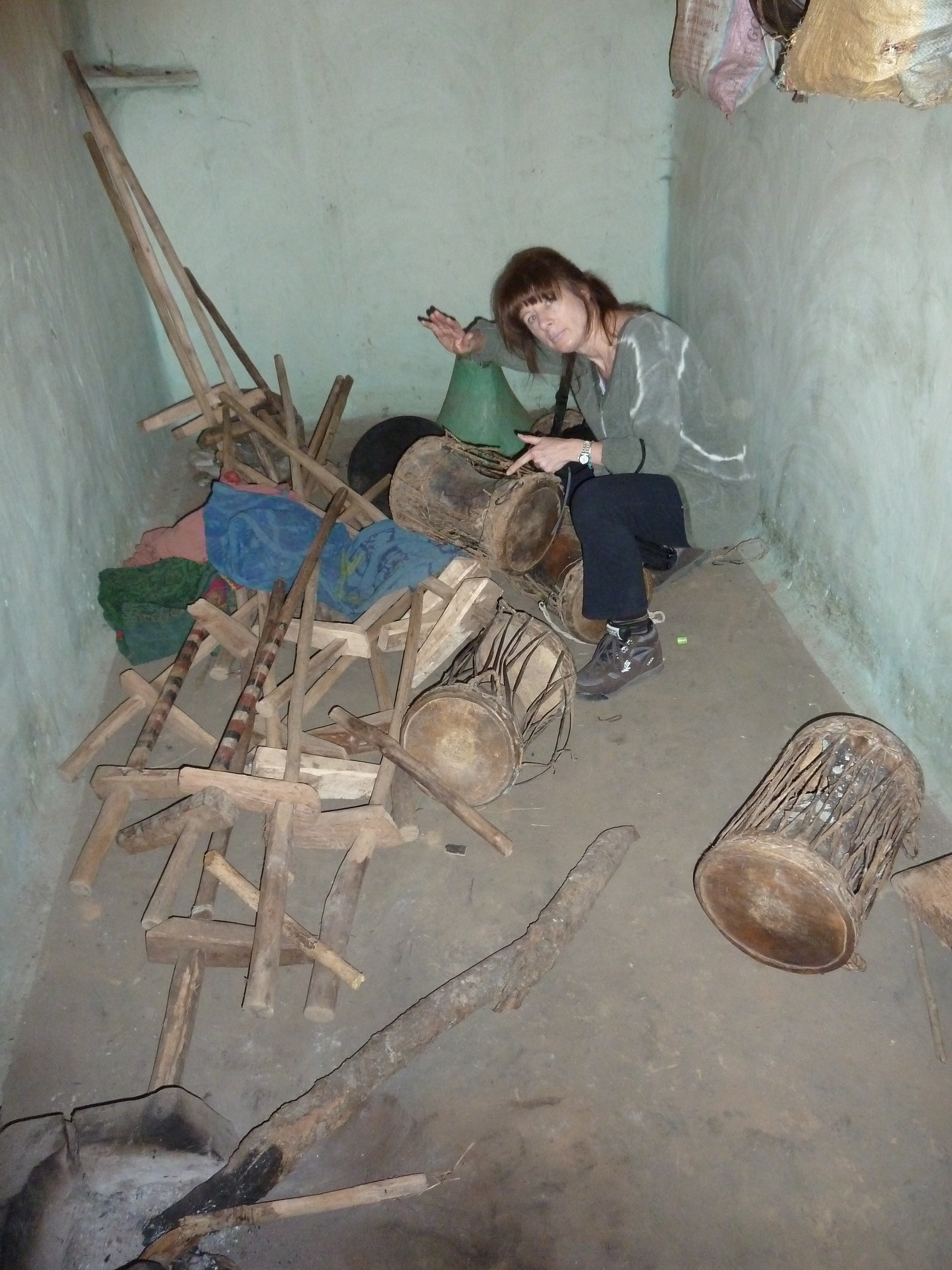
040 Inside The Ghotul In Bhigawn Para Village (Deer Horn Muriya People) P1010133
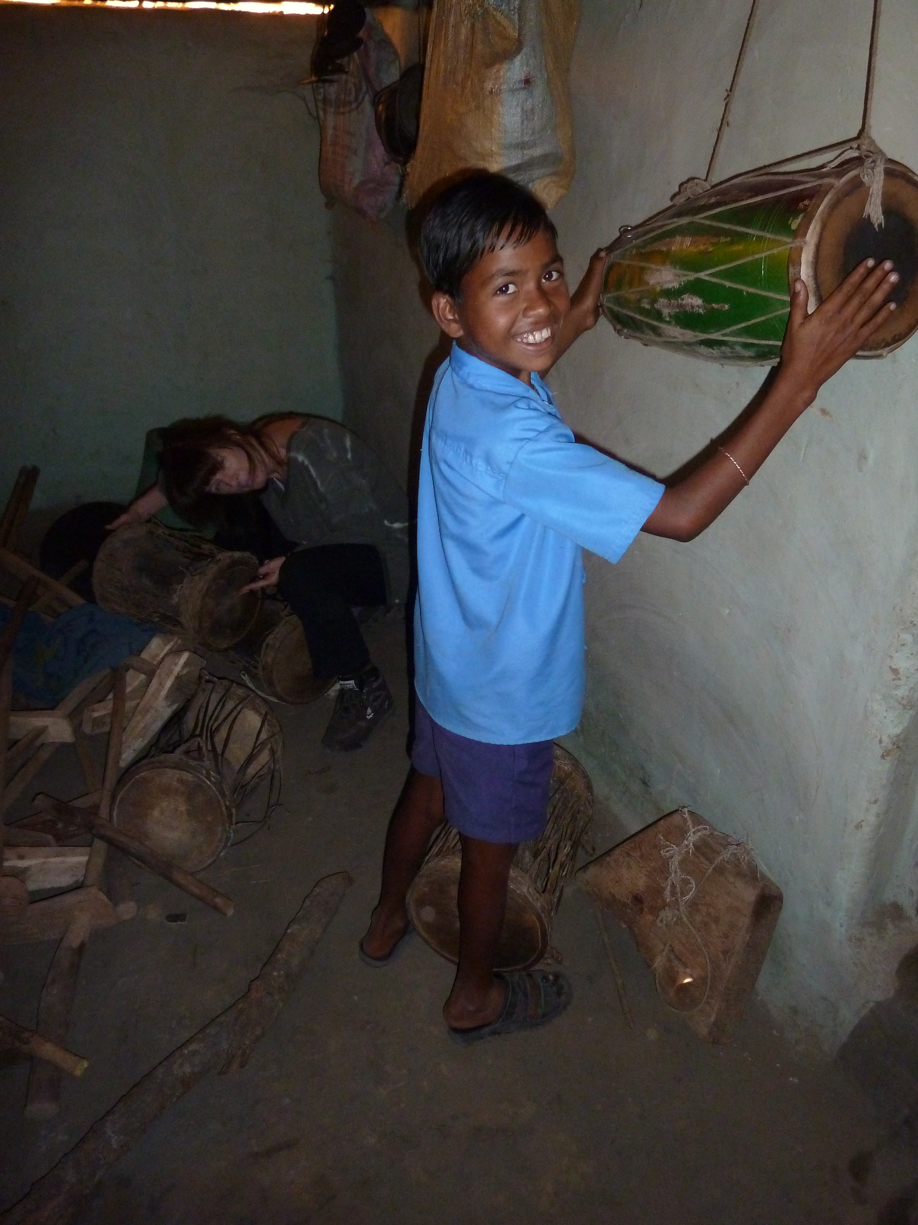
041 Inside The Ghotul In Bhigawn Para Village (Deer Horn Muriya People) P1010136

042 Inside The Ghotul In Bhigawn Para Village (Deer Horn Muriya People) P1010139
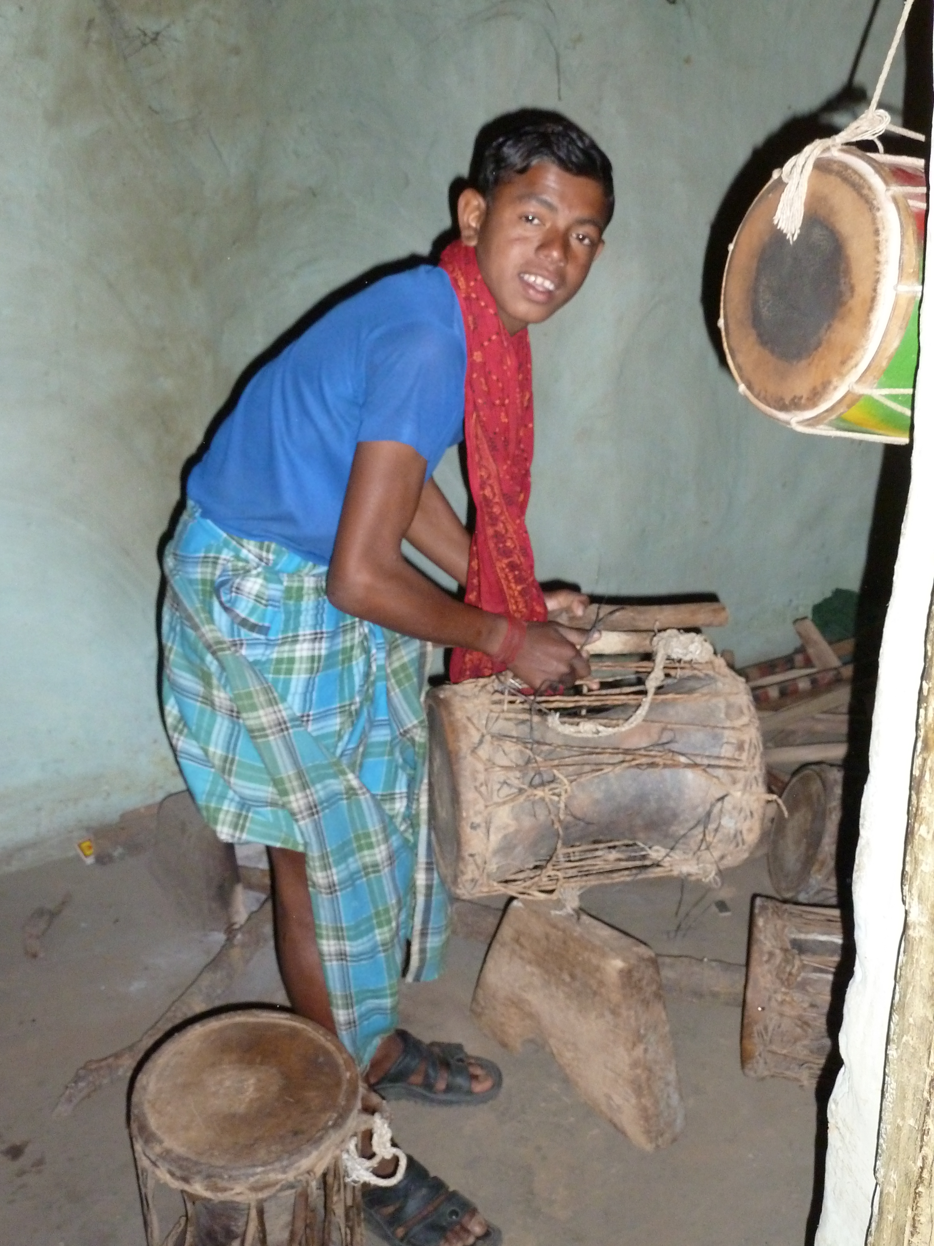
043 Inside The Ghotul In Bhigawn Para Village (Deer Horn Muriya People) P1010141
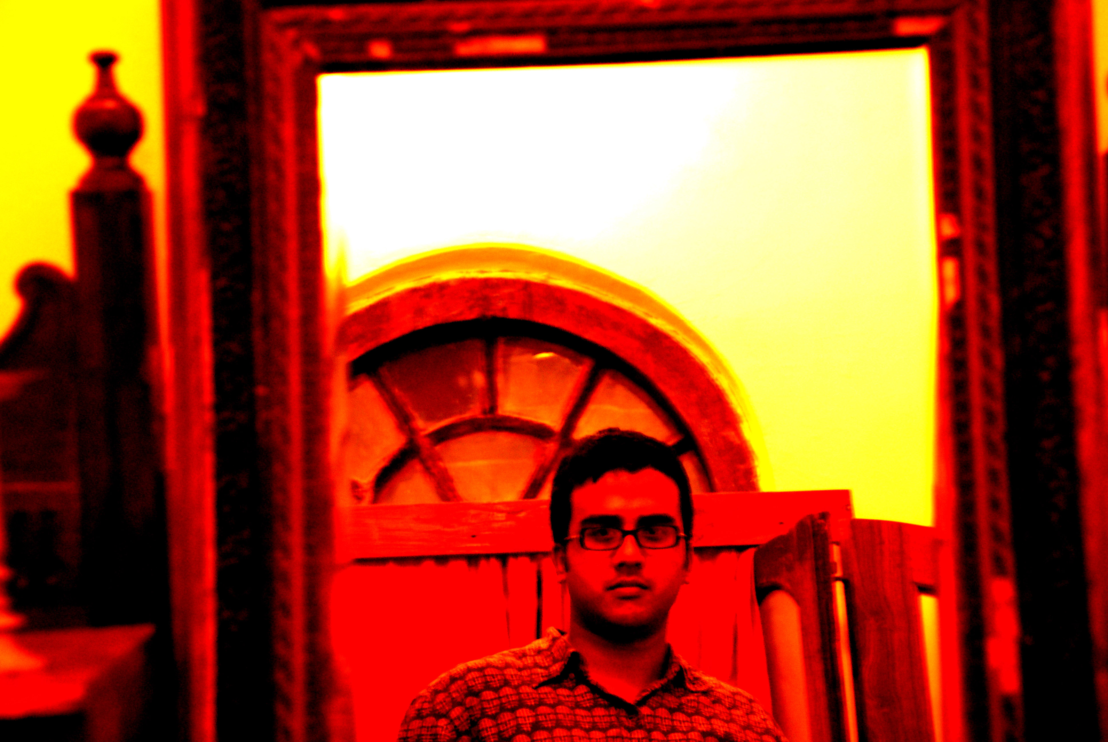
Attempt at a self portrait
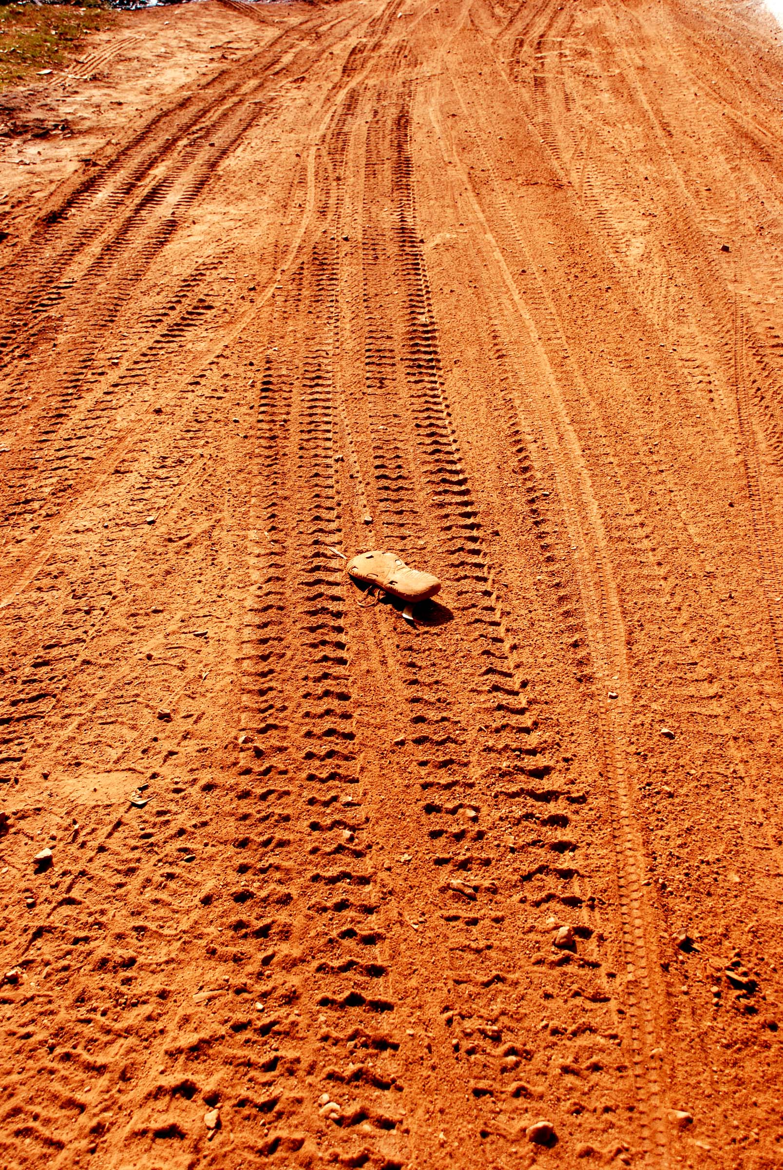
Somebody miss me??
Topographic Map of Kanker, Chhattisgarh, India
Find elevation by address:

Places in Kanker, Chhattisgarh, India:
Places near Kanker, Chhattisgarh, India:
Zilla Panchayat, Kanker
Govindpur
Bansagar
Charama
Dangi Macha
Antagarh
Bhanupratappur
Kanker
Dhamtari
Godawari Power & Ispat Ltd. Guest House
Dalli Rajhara
Balod
Durgu Kondal
Balod
Narayanpur
Dhamansara
Pakhanjore
Recent Searches:
- Elevation of Corso Fratelli Cairoli, 35, Macerata MC, Italy
- Elevation of Tallevast Rd, Sarasota, FL, USA
- Elevation of 4th St E, Sonoma, CA, USA
- Elevation of Black Hollow Rd, Pennsdale, PA, USA
- Elevation of Oakland Ave, Williamsport, PA, USA
- Elevation of Pedrógão Grande, Portugal
- Elevation of Klee Dr, Martinsburg, WV, USA
- Elevation of Via Roma, Pieranica CR, Italy
- Elevation of Tavkvetili Mountain, Georgia
- Elevation of Hartfords Bluff Cir, Mt Pleasant, SC, USA