Elevation of Dhamansara, Chhattisgarh, India
Location: India > Chhattisgarh > Rajnandgaon >
Longitude: 81.0837442
Latitude: 21.046991
Elevation: 294m / 965feet
Barometric Pressure: 98KPa
Elevation Map:
Satellite Map:
Related Photos:
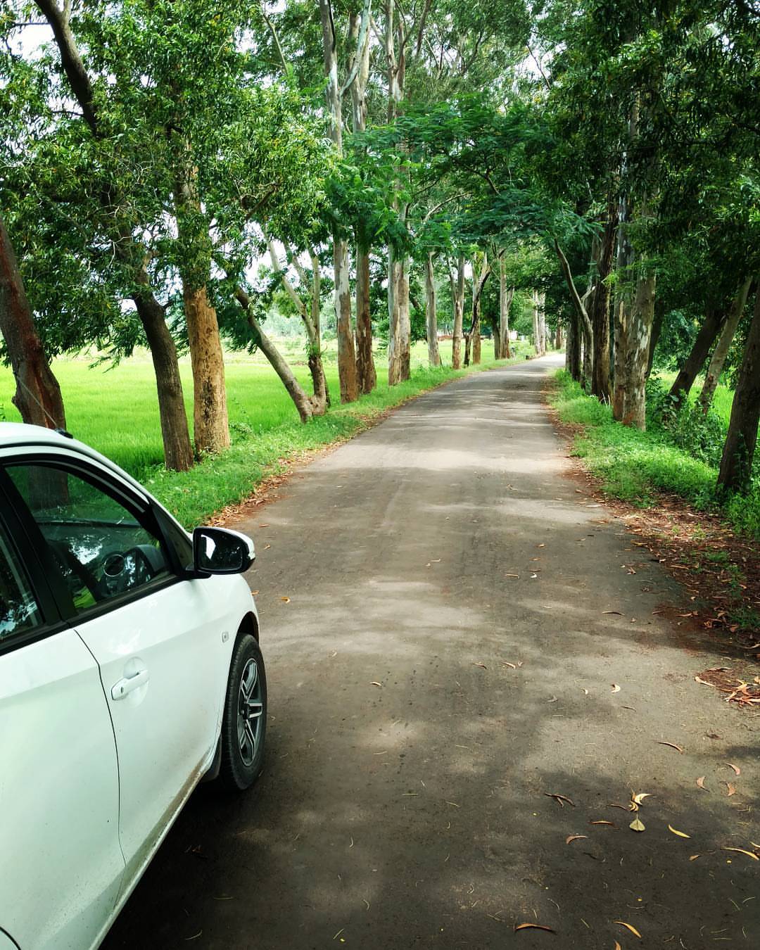
Driving on the country side is always pleasant and relaxing...
Topographic Map of Dhamansara, Chhattisgarh, India
Find elevation by address:

Places near Dhamansara, Chhattisgarh, India:
Balod
Balod
Godawari Power & Ispat Ltd. Guest House
Dalli Rajhara
Dhamtari
Dangi Macha
Charama
Bhanupratappur
Bansagar
Durgu Kondal
Kanker
Kanker
Zilla Panchayat, Kanker
Govindpur
Antagarh
Pakhanjore
Narayanpur
Recent Searches:
- Elevation of Corso Fratelli Cairoli, 35, Macerata MC, Italy
- Elevation of Tallevast Rd, Sarasota, FL, USA
- Elevation of 4th St E, Sonoma, CA, USA
- Elevation of Black Hollow Rd, Pennsdale, PA, USA
- Elevation of Oakland Ave, Williamsport, PA, USA
- Elevation of Pedrógão Grande, Portugal
- Elevation of Klee Dr, Martinsburg, WV, USA
- Elevation of Via Roma, Pieranica CR, Italy
- Elevation of Tavkvetili Mountain, Georgia
- Elevation of Hartfords Bluff Cir, Mt Pleasant, SC, USA