Elevation of Kanetown Road, Kanetown Rd, Fifth, WV, USA
Location: United States > West Virginia > Preston County > Fifth > Tunnelton >
Longitude: -79.786248
Latitude: 39.3400124
Elevation: 485m / 1591feet
Barometric Pressure: 96KPa
Elevation Map:
Satellite Map:
Related Photos:
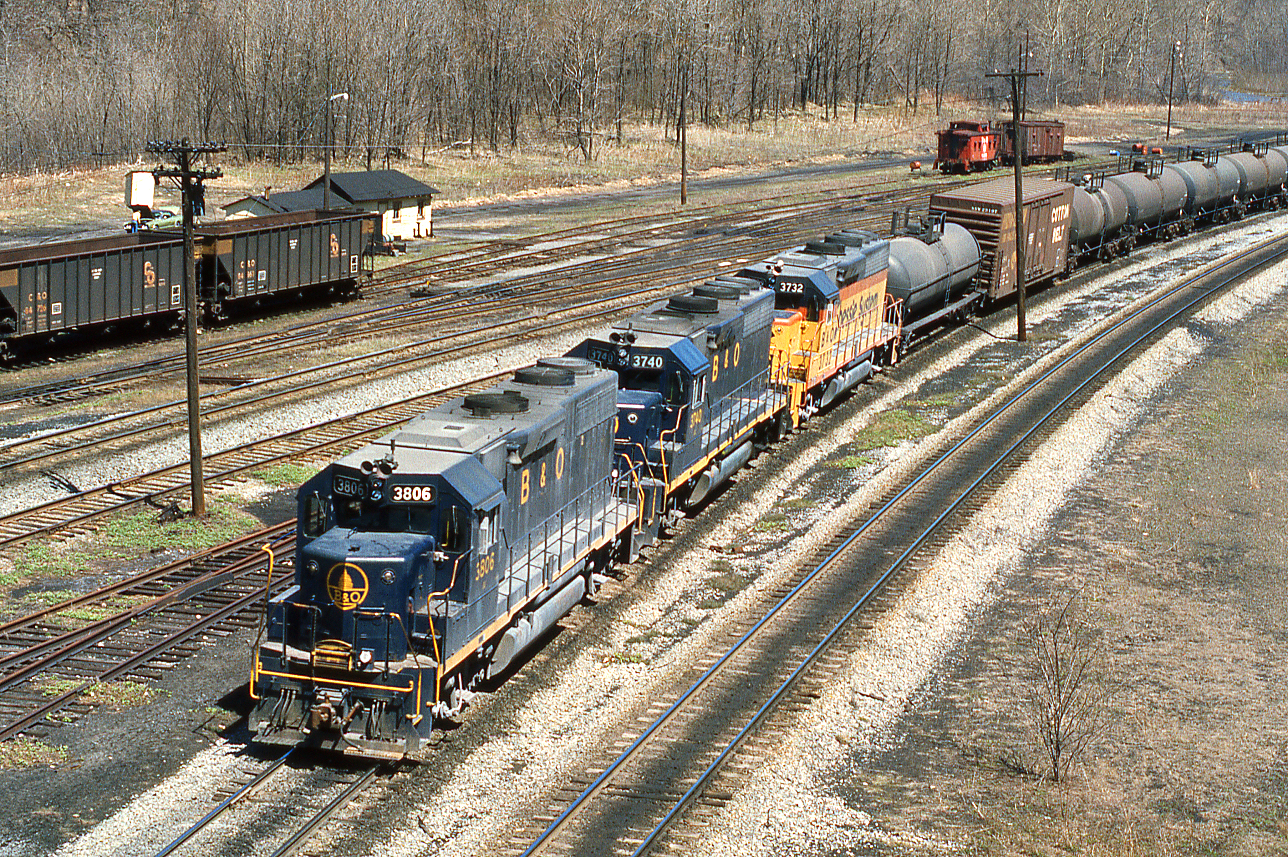
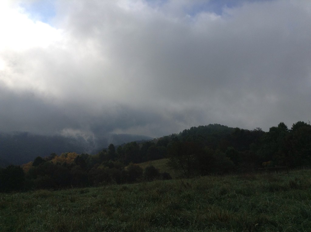
1977 04-09 1220 B&O-CS GP38-3806 W/B at Rowlesburg,WV
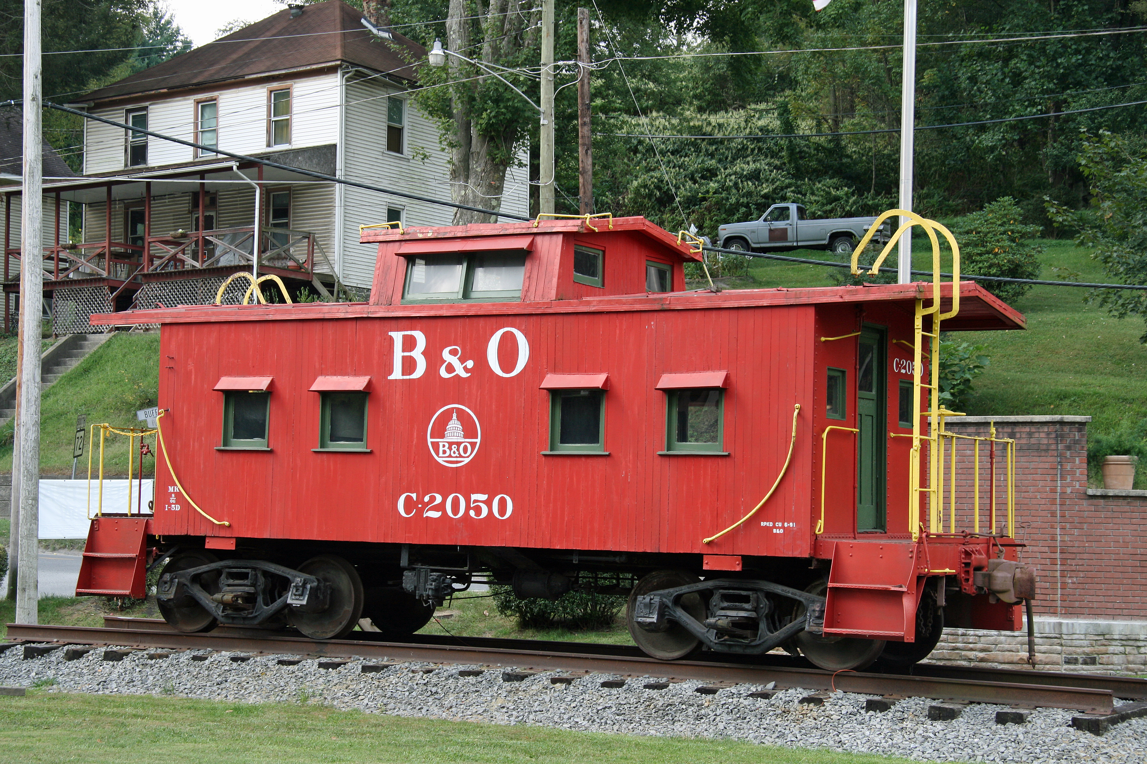
B&O Caboose - Rowlesburg, WV

Cool Springs Park, Mountain View, WV

Cool Springs Park, Mountain View, WV

Cool Springs Park, Mountain View, WV

unidentified toothed mushroom, top view
B&O
Crazy Cliff (Explored)

Dog Run Road/Seven Islands Road
Good morning, autumn
Another Tower Gone

In That Direction

Cheat River Morning

Blackwater Falls Trip
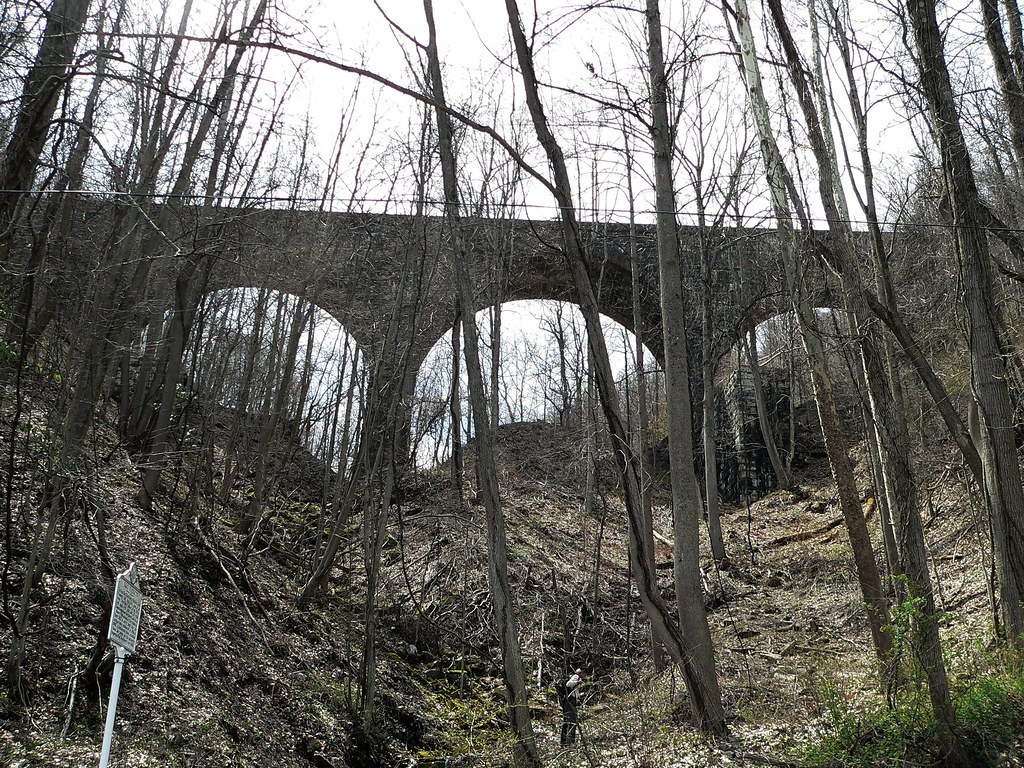
baltimore and ohio viaduct

WV camping
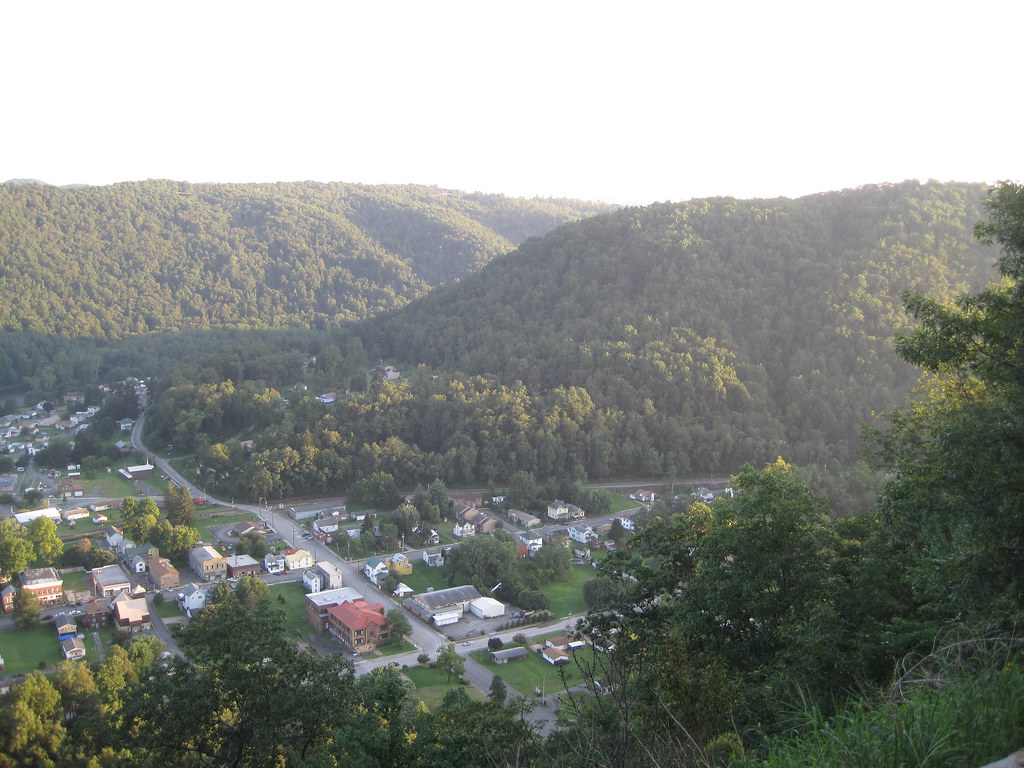
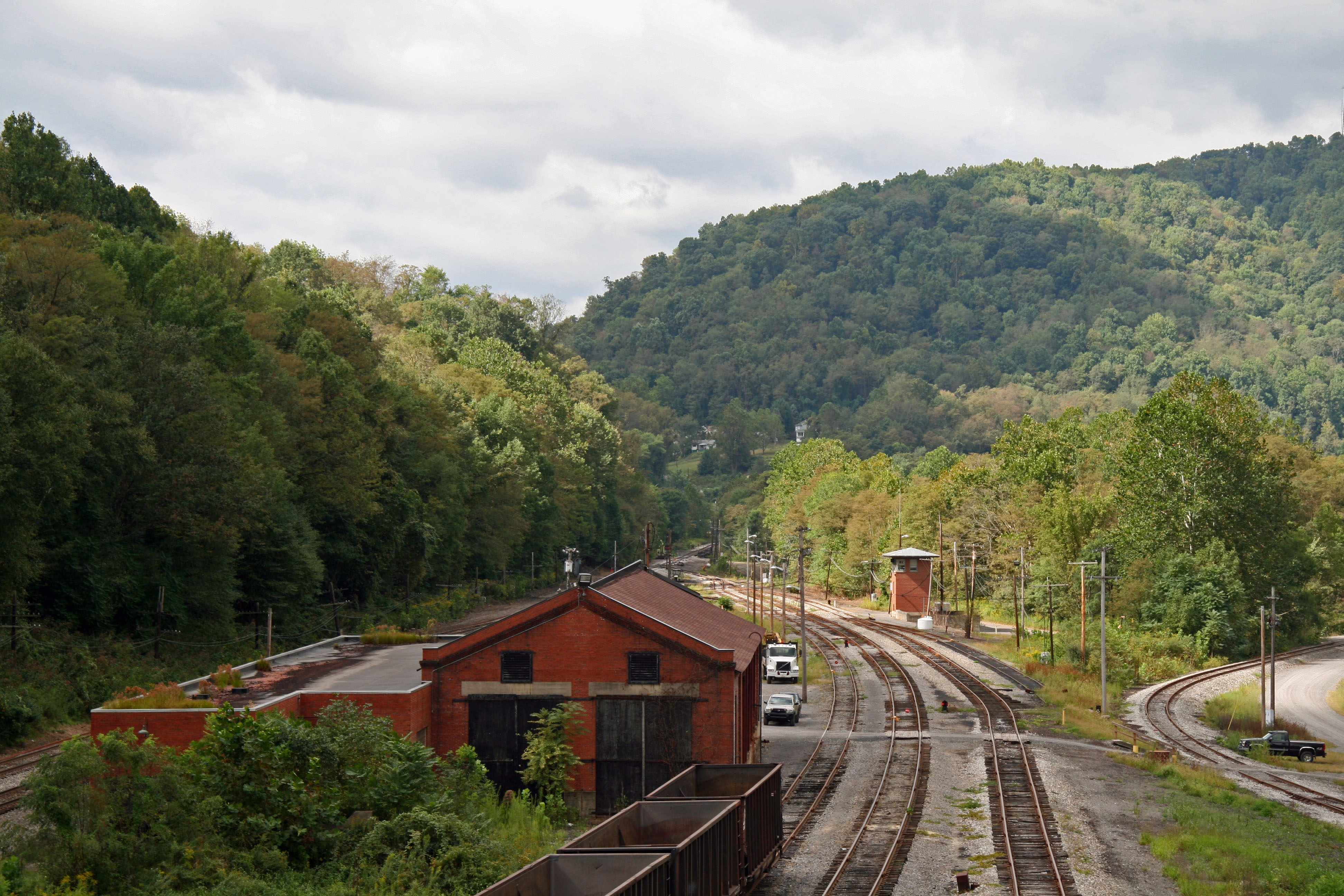
Rowlesburg, WV

WV camping

old tractor
Topographic Map of Kanetown Road, Kanetown Rd, Fifth, WV, USA
Find elevation by address:

Places near Kanetown Road, Kanetown Rd, Fifth, WV, USA:
Fifth
Kanetown Rd, Tunnelton, WV, USA
Frog Hollow Road
2442 Frog Hollow Rd
182 Number 4 Rd
21 River Rd, Rowlesburg, WV, USA
159 S Buffalo St
Rowlesburg
3836 Mount Olivet Church Rd
Limestone Road
Mount Olivet
3999 Lantz Ridge Rd
Aurora
George Washington Highway
2577 Hogback Rd
Eglon
Horse Shoe Run
Maple Spring Hwy, Eglon, WV, USA
325 Slaubaugh Rd
Turner Douglas Rd, Terra Alta, WV, USA
Recent Searches:
- Elevation of Corso Fratelli Cairoli, 35, Macerata MC, Italy
- Elevation of Tallevast Rd, Sarasota, FL, USA
- Elevation of 4th St E, Sonoma, CA, USA
- Elevation of Black Hollow Rd, Pennsdale, PA, USA
- Elevation of Oakland Ave, Williamsport, PA, USA
- Elevation of Pedrógão Grande, Portugal
- Elevation of Klee Dr, Martinsburg, WV, USA
- Elevation of Via Roma, Pieranica CR, Italy
- Elevation of Tavkvetili Mountain, Georgia
- Elevation of Hartfords Bluff Cir, Mt Pleasant, SC, USA