Elevation of Maple Spring Hwy, Eglon, WV, USA
Location: United States > West Virginia > Preston County > Fifth >
Longitude: -79.51424
Latitude: 39.270821
Elevation: 793m / 2602feet
Barometric Pressure: 92KPa
Elevation Map:
Satellite Map:
Related Photos:
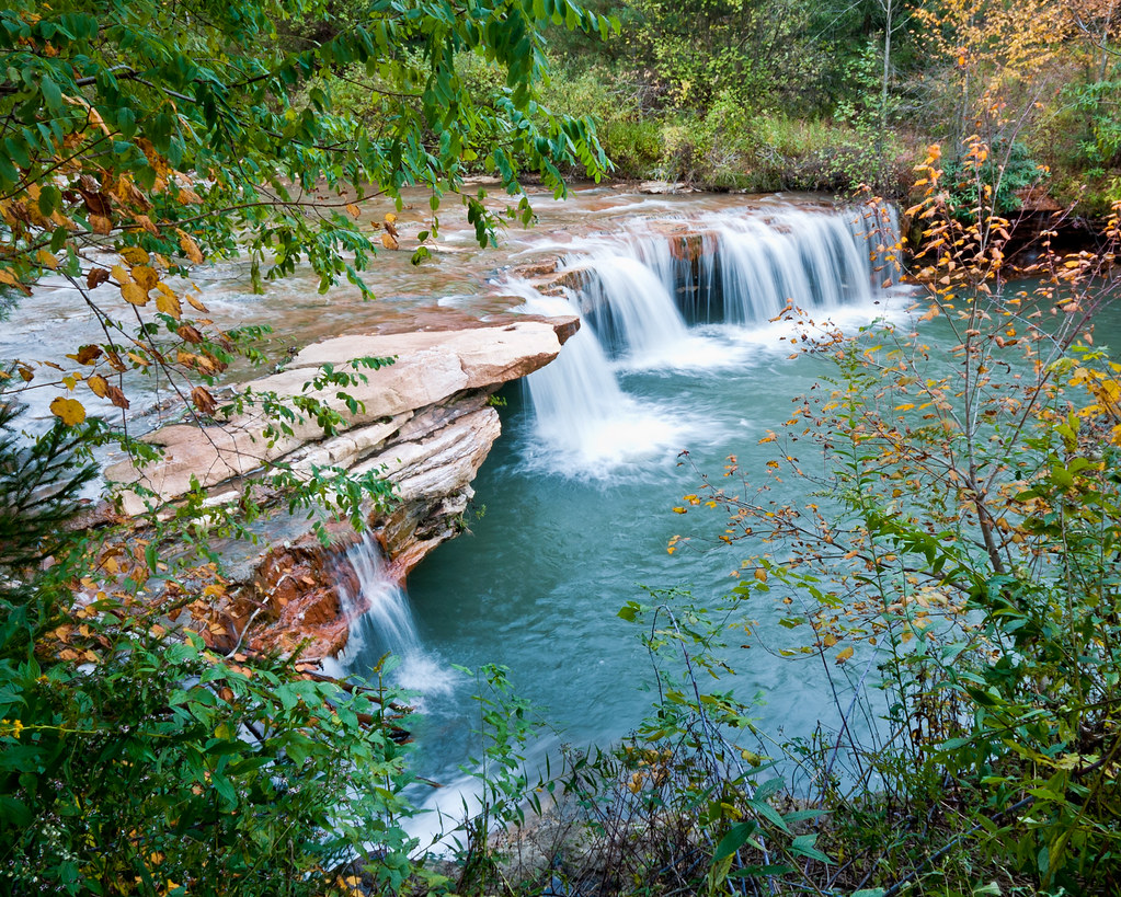
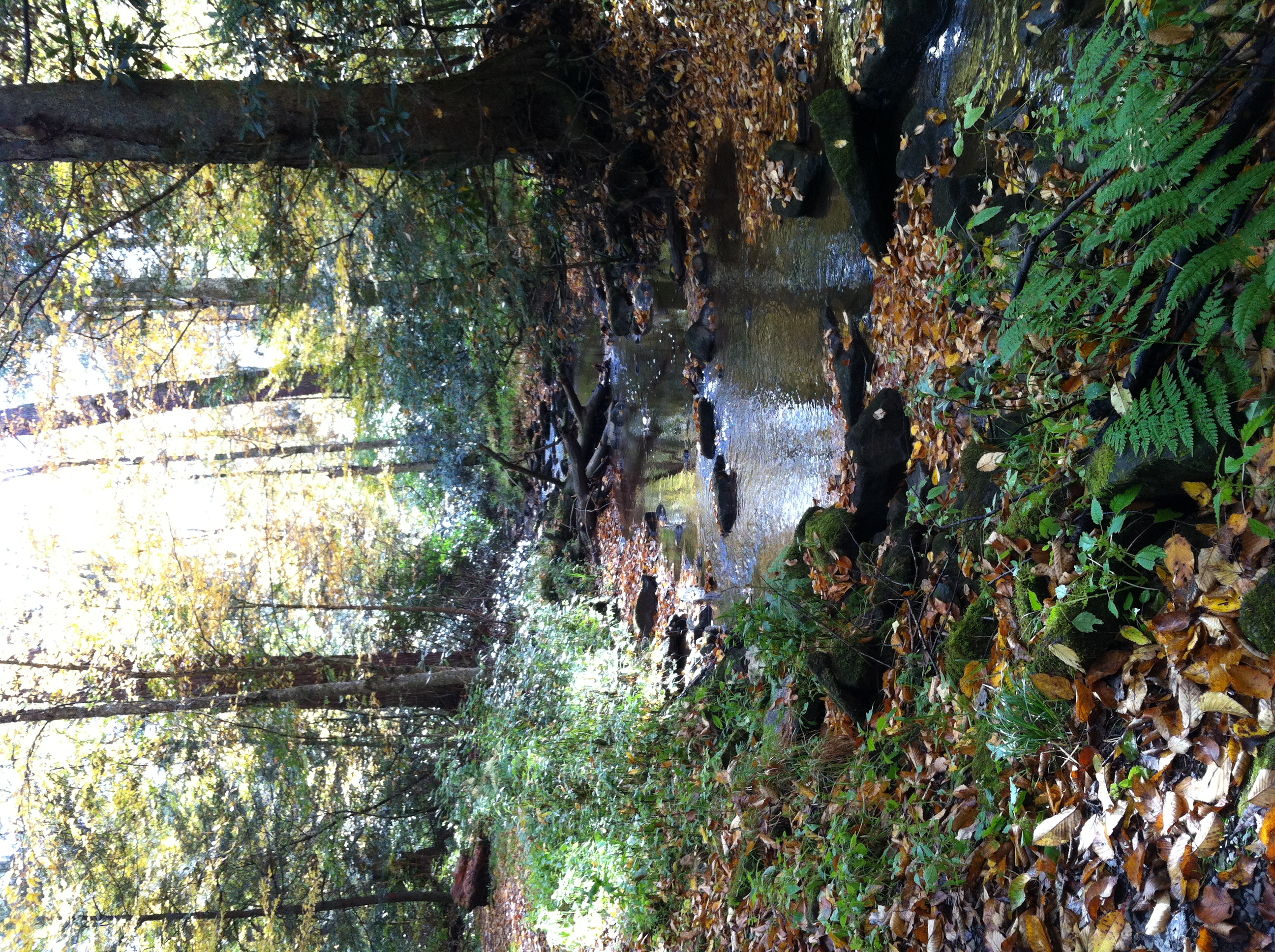
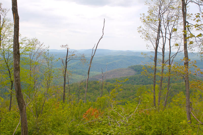
A Touch of Fall
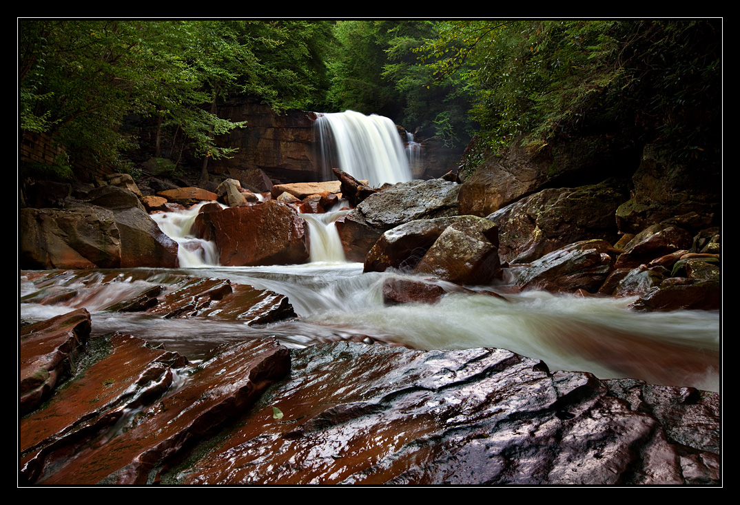
Eventually it flows - Douglas Falls, West Virginia

1977 04-09 1220 B&O-CS GP38-3806 W/B at Rowlesburg,WV
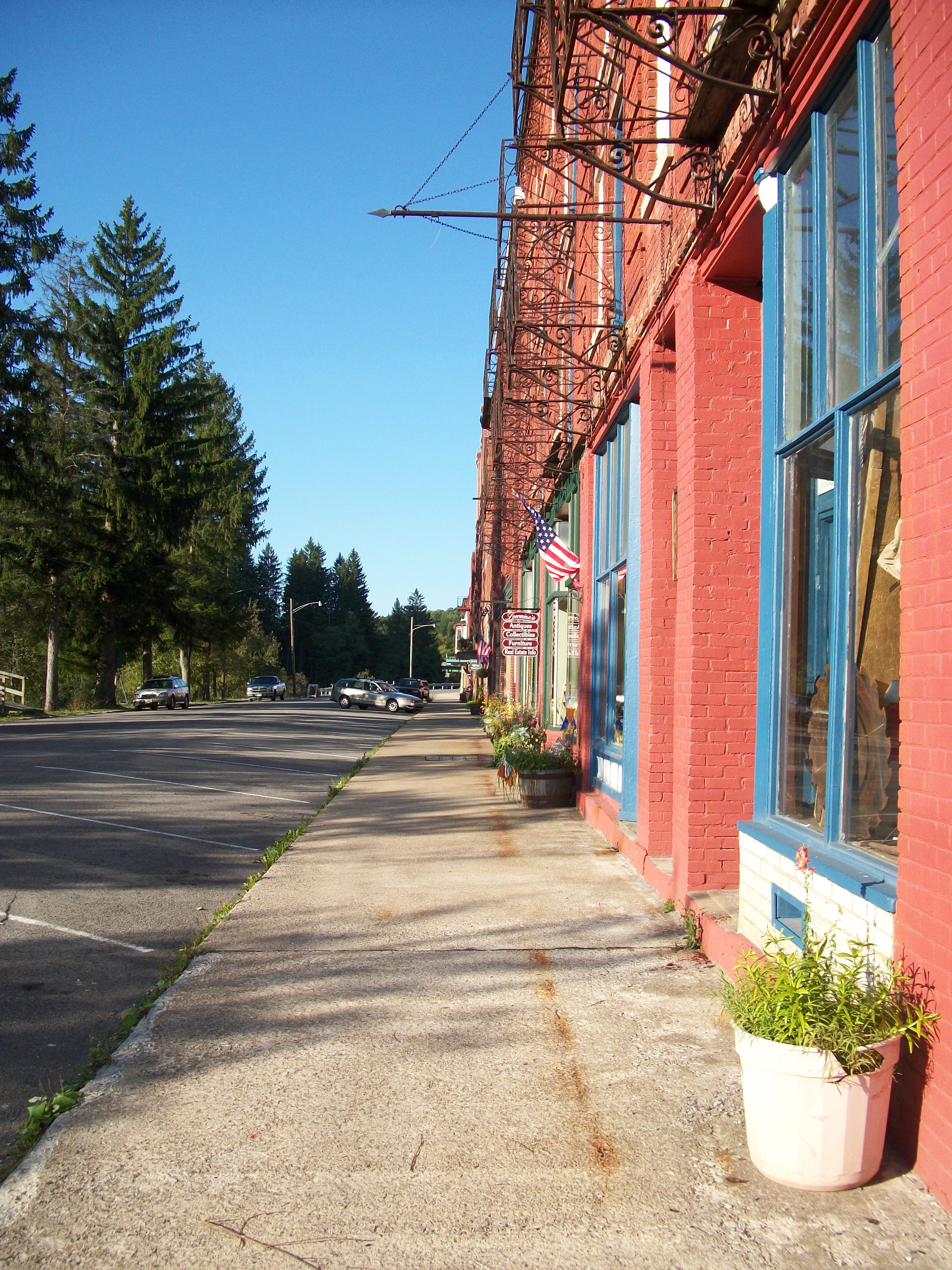
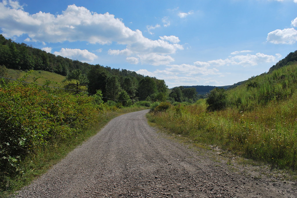
Road Trip 2010

Snowy Owl
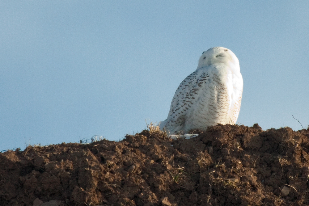
Snowy Owl
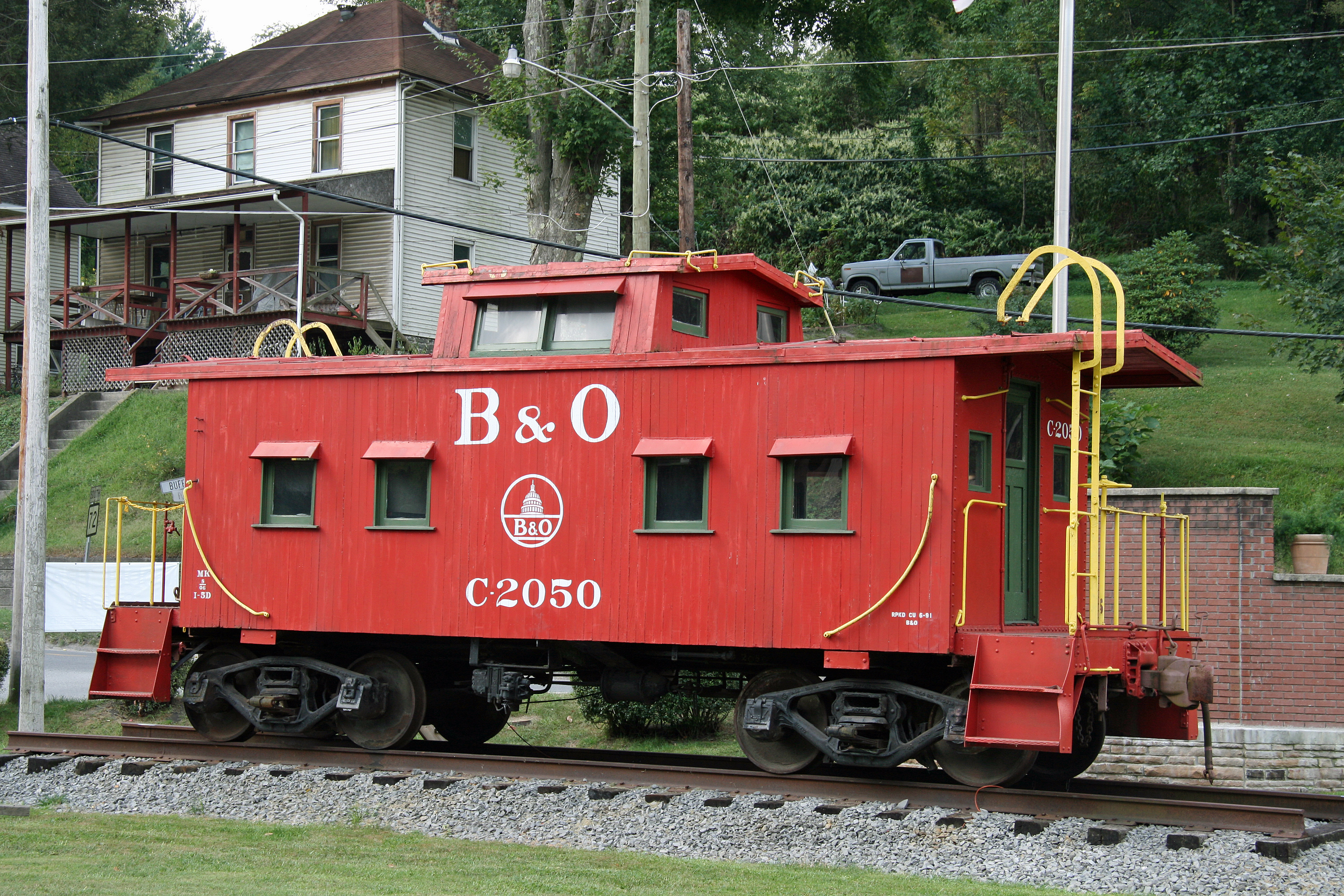
B&O Caboose - Rowlesburg, WV

West from 219
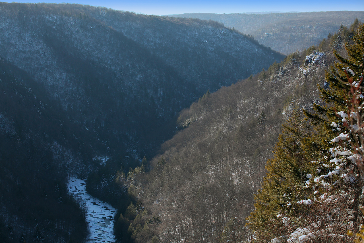
Winter in the Canyon

unidentified toothed mushroom, side view
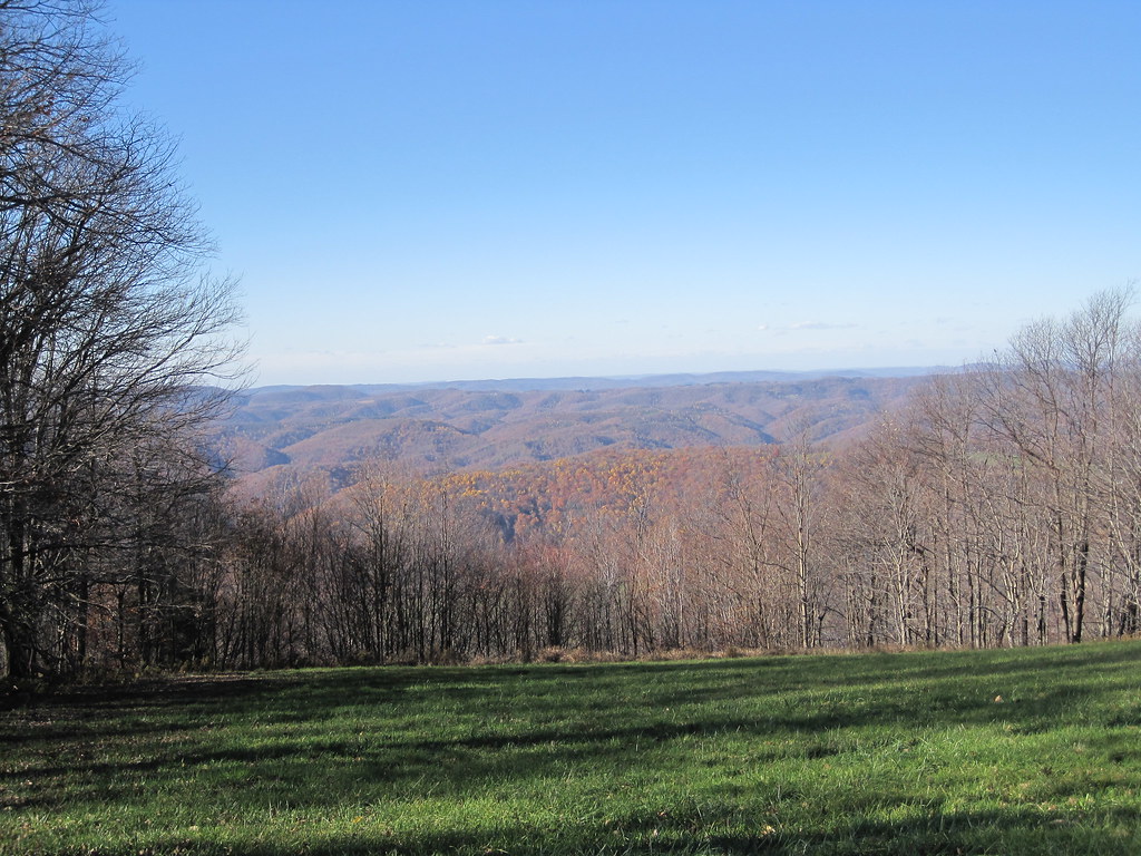
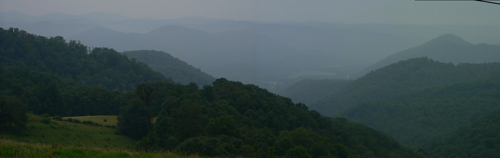
View from Backbone Mountain
Cheat River III, Sunset
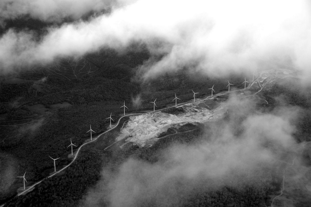
Catching the wind and the clouds!
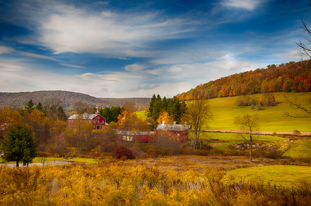
West Virginia in the Fall

Acid Mine Drainage Wetland
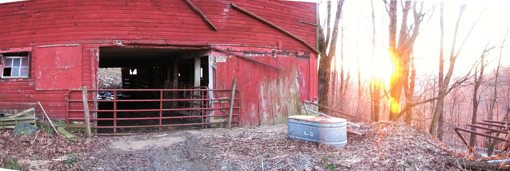
B&O
Cathedral State Park

Cathedral State Park
Cathedral State Park
Blackwater Canyon Railroad Grade Trail
humid day atop sugar land rd
Road Trip 2010

Dog Run Road/Seven Islands Road
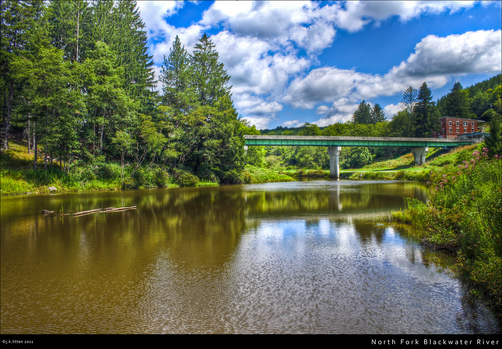
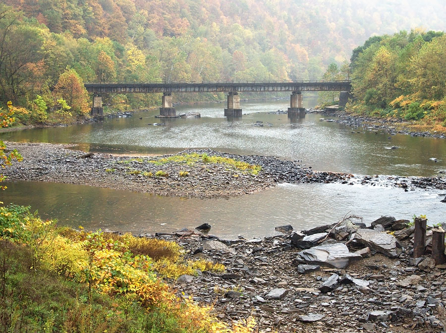
North Fork Blackwater River
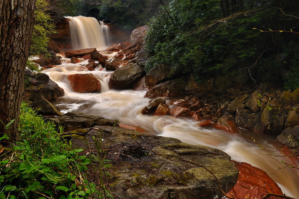
Douglas Falls - Davis, West Virginia.
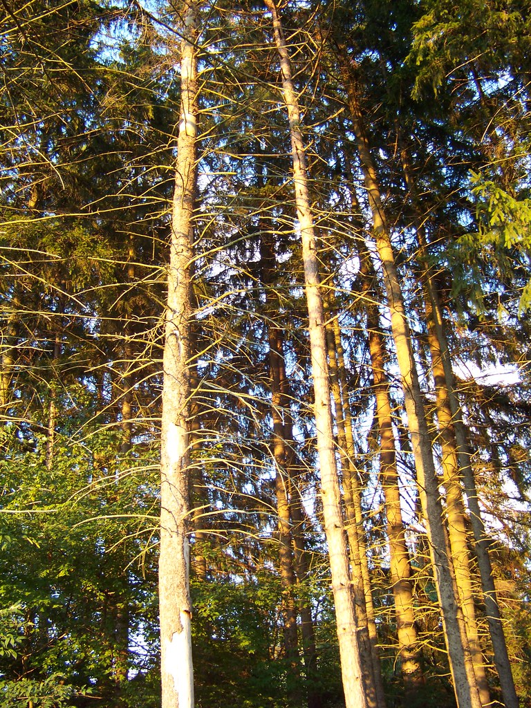
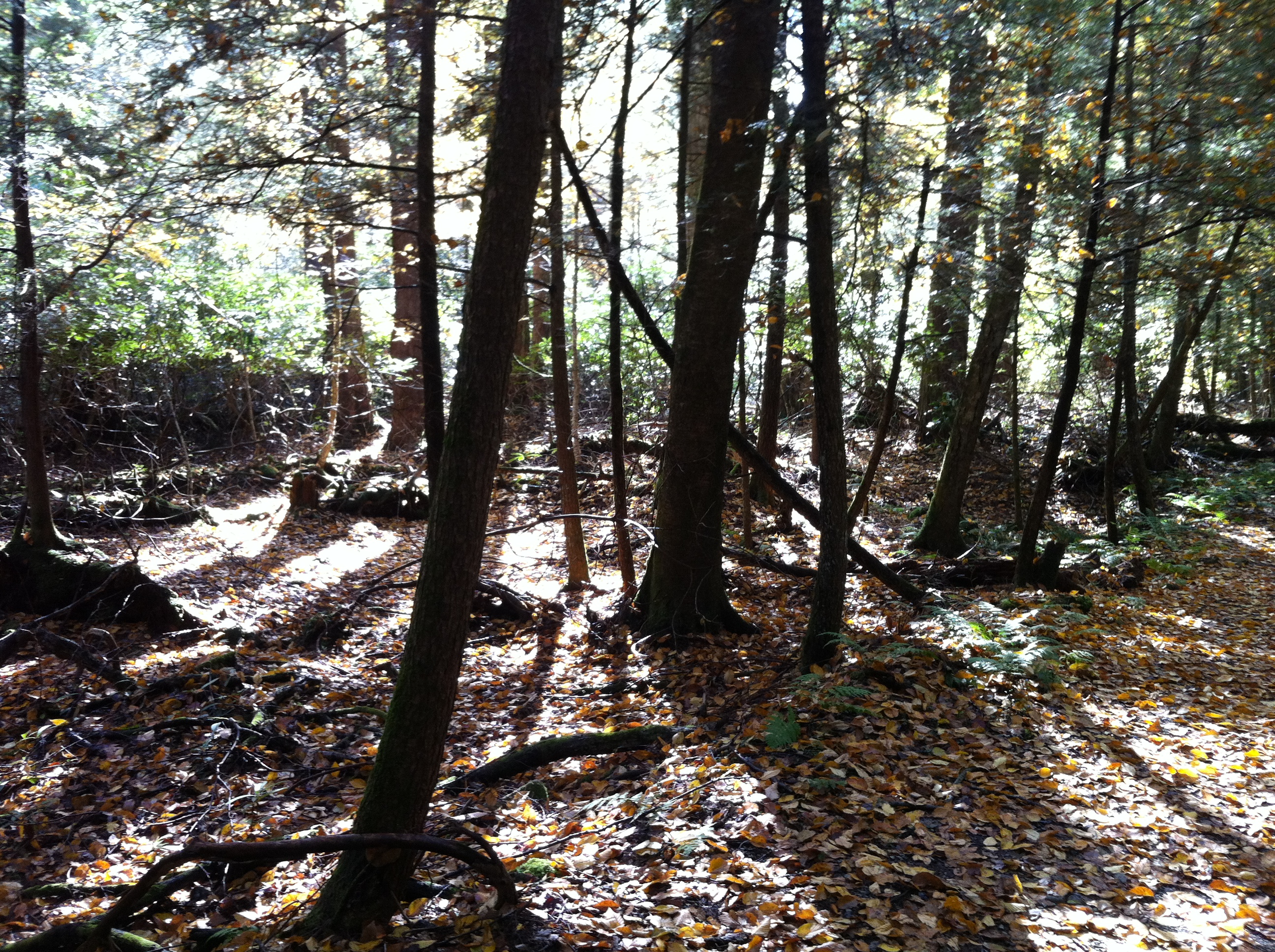
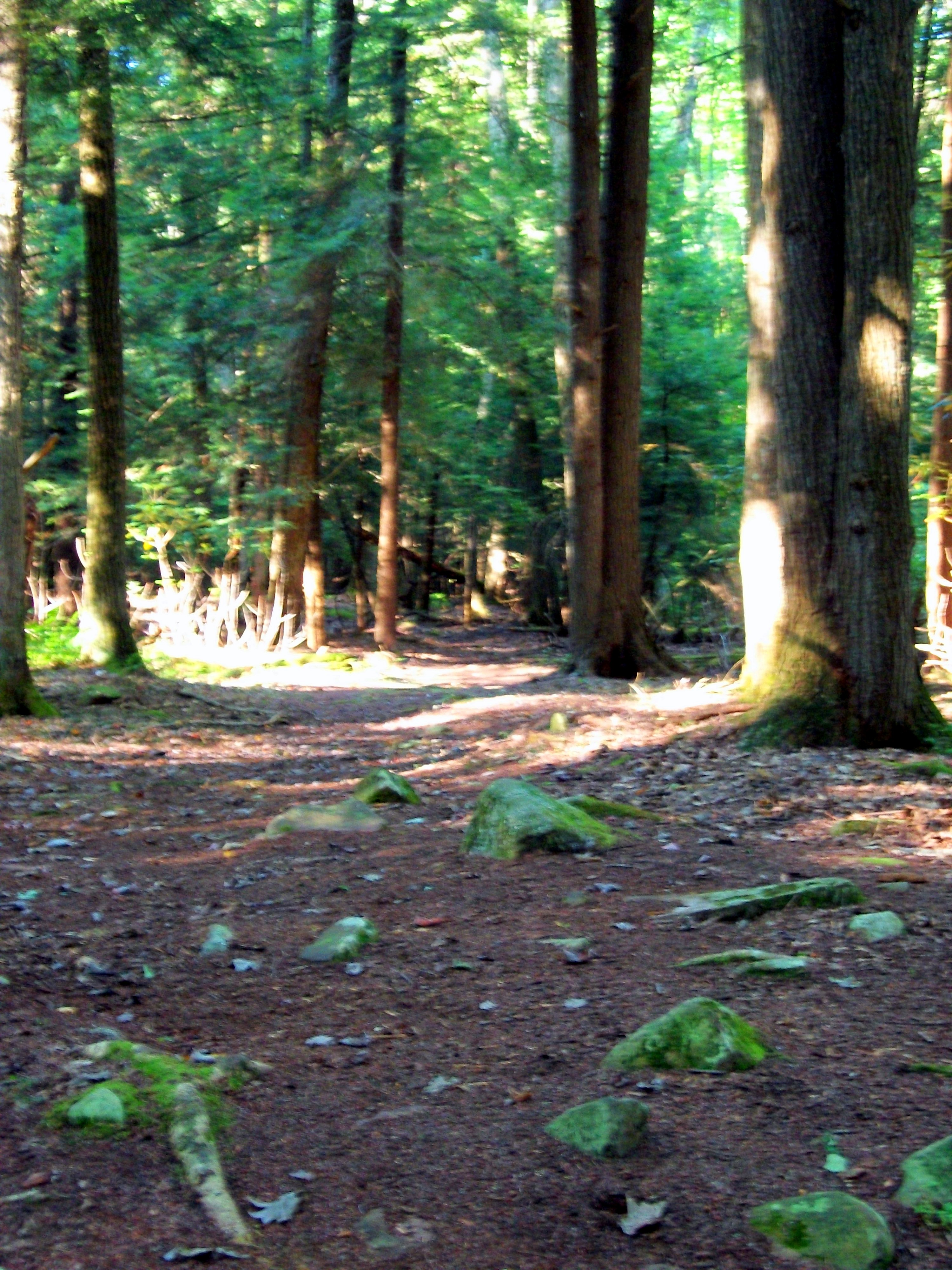
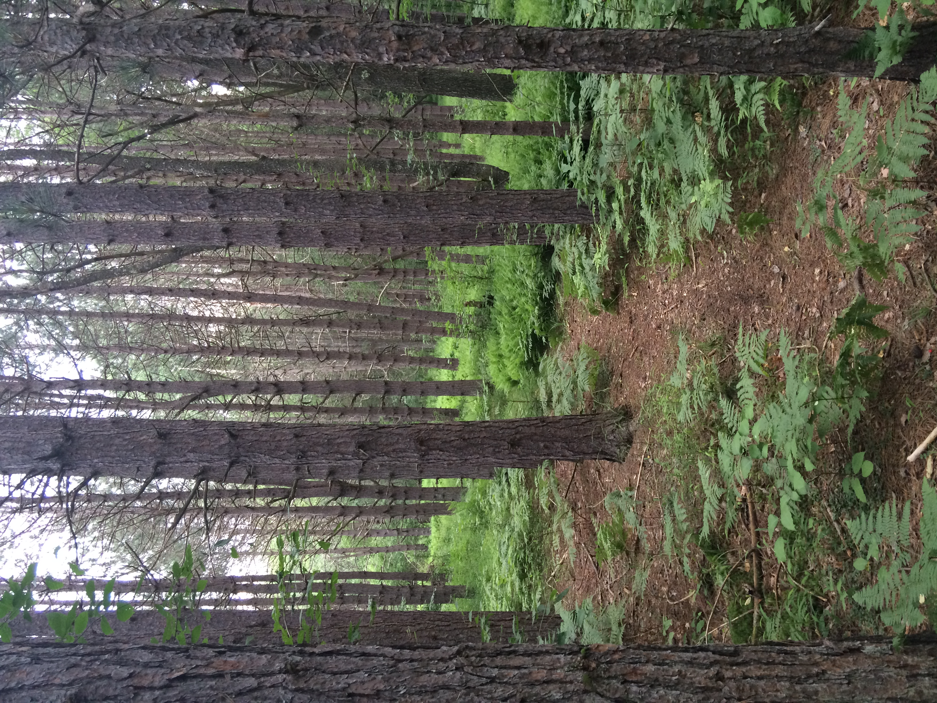
Trees.
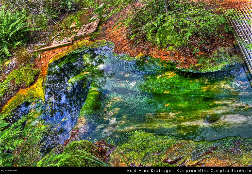
Acid Mine Drainage - Kempton Mine Complex Borehole
Blackwater Falls Trip
June 27
Topographic Map of Maple Spring Hwy, Eglon, WV, USA
Find elevation by address:

Places near Maple Spring Hwy, Eglon, WV, USA:
Horse Shoe Run
HORSE SHOE RN, WV, USA
Eglon
2577 Hogback Rd
Backbone Drive
325 Slaubaugh Rd
George Washington Highway
Aurora
Turner Douglas Rd, Terra Alta, WV, USA
3999 Lantz Ridge Rd
3836 Mount Olivet Church Rd
Mount Olivet
Rowlesburg
159 S Buffalo St
21 River Rd, Rowlesburg, WV, USA
Limestone Road
2442 Frog Hollow Rd
Frog Hollow Road
182 Number 4 Rd
Kanetown Rd, Tunnelton, WV, USA
Recent Searches:
- Elevation of Corso Fratelli Cairoli, 35, Macerata MC, Italy
- Elevation of Tallevast Rd, Sarasota, FL, USA
- Elevation of 4th St E, Sonoma, CA, USA
- Elevation of Black Hollow Rd, Pennsdale, PA, USA
- Elevation of Oakland Ave, Williamsport, PA, USA
- Elevation of Pedrógão Grande, Portugal
- Elevation of Klee Dr, Martinsburg, WV, USA
- Elevation of Via Roma, Pieranica CR, Italy
- Elevation of Tavkvetili Mountain, Georgia
- Elevation of Hartfords Bluff Cir, Mt Pleasant, SC, USA