Elevation of Kaneta Nikat Bahjoi, Uttar Pradesh, India
Location: India > Uttar Pradesh > Moradabad >
Longitude: 78.6313624
Latitude: 28.4024627
Elevation: 192m / 630feet
Barometric Pressure: 99KPa
Elevation Map:
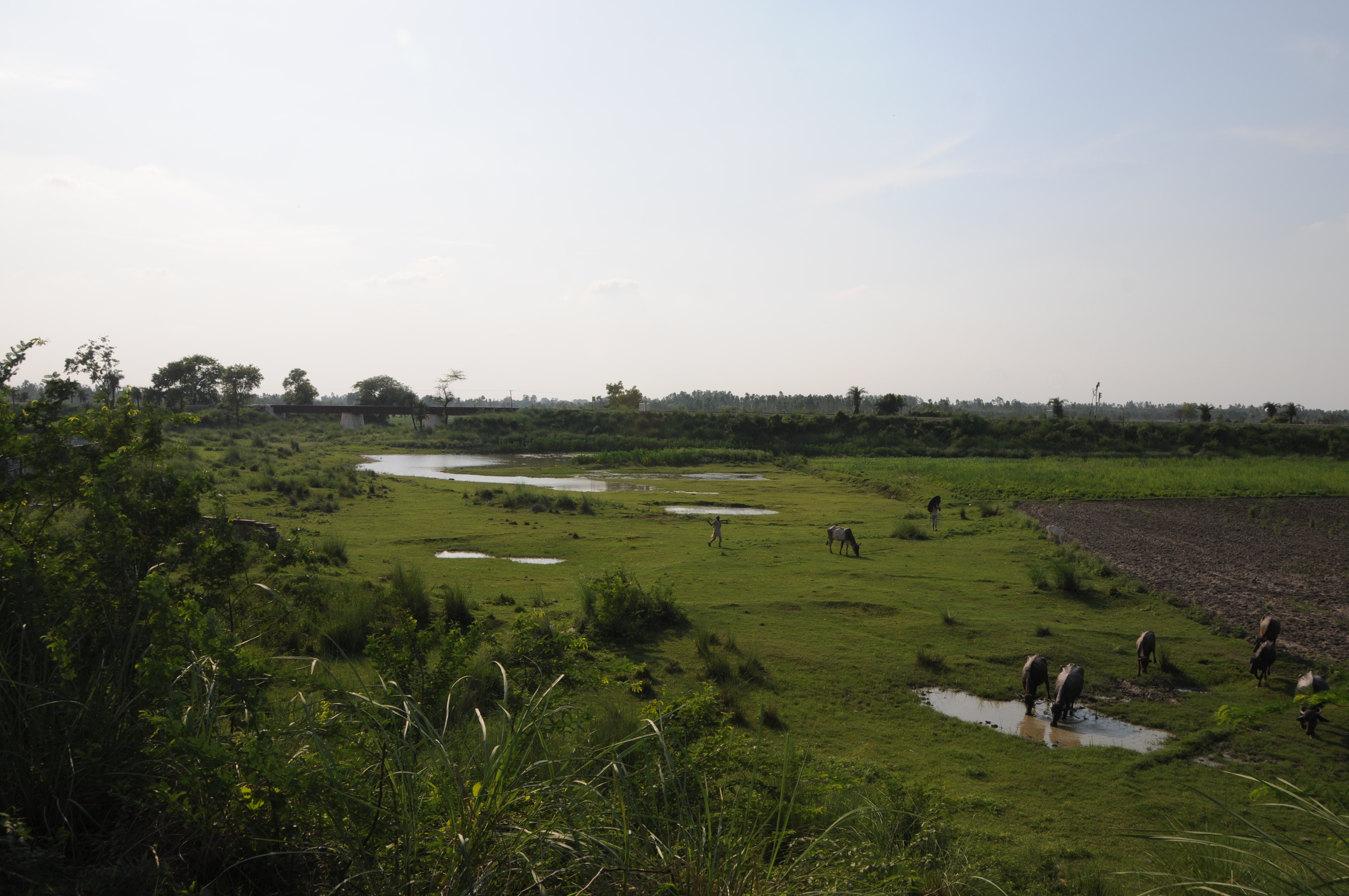
Satellite Map:
Related Photos:
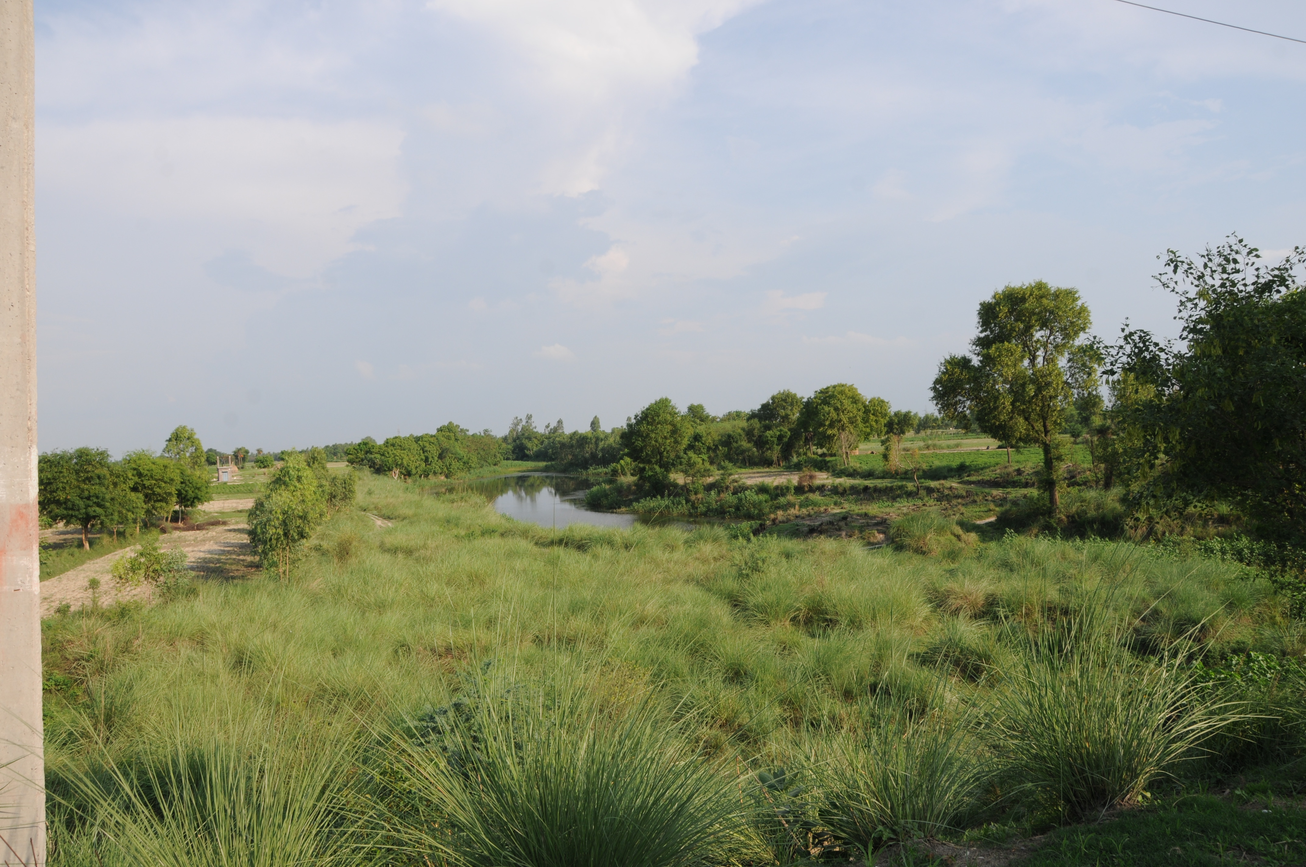
CSP_3162.JPG
CSP_3161.JPG

CSP_3160.JPG

Udranpur Azmatnagar, Uttar Pradesh
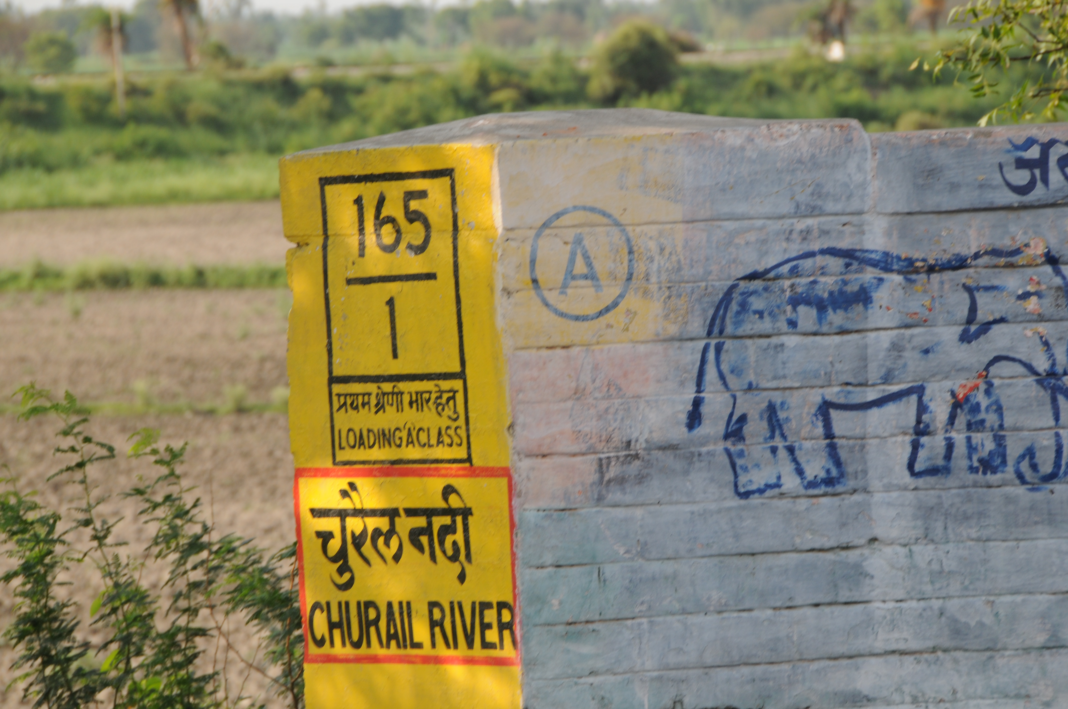
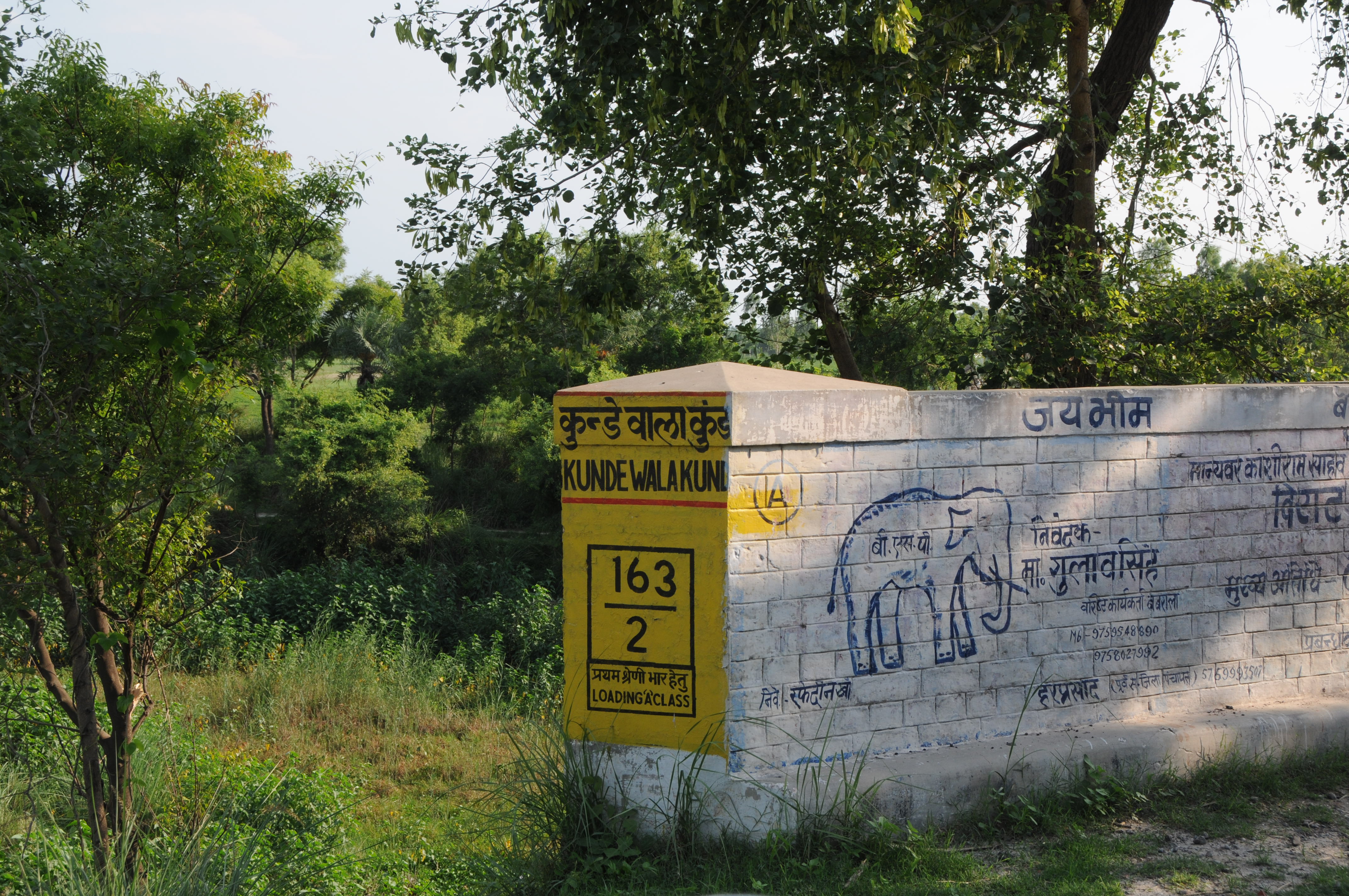
CSP_3157.JPG
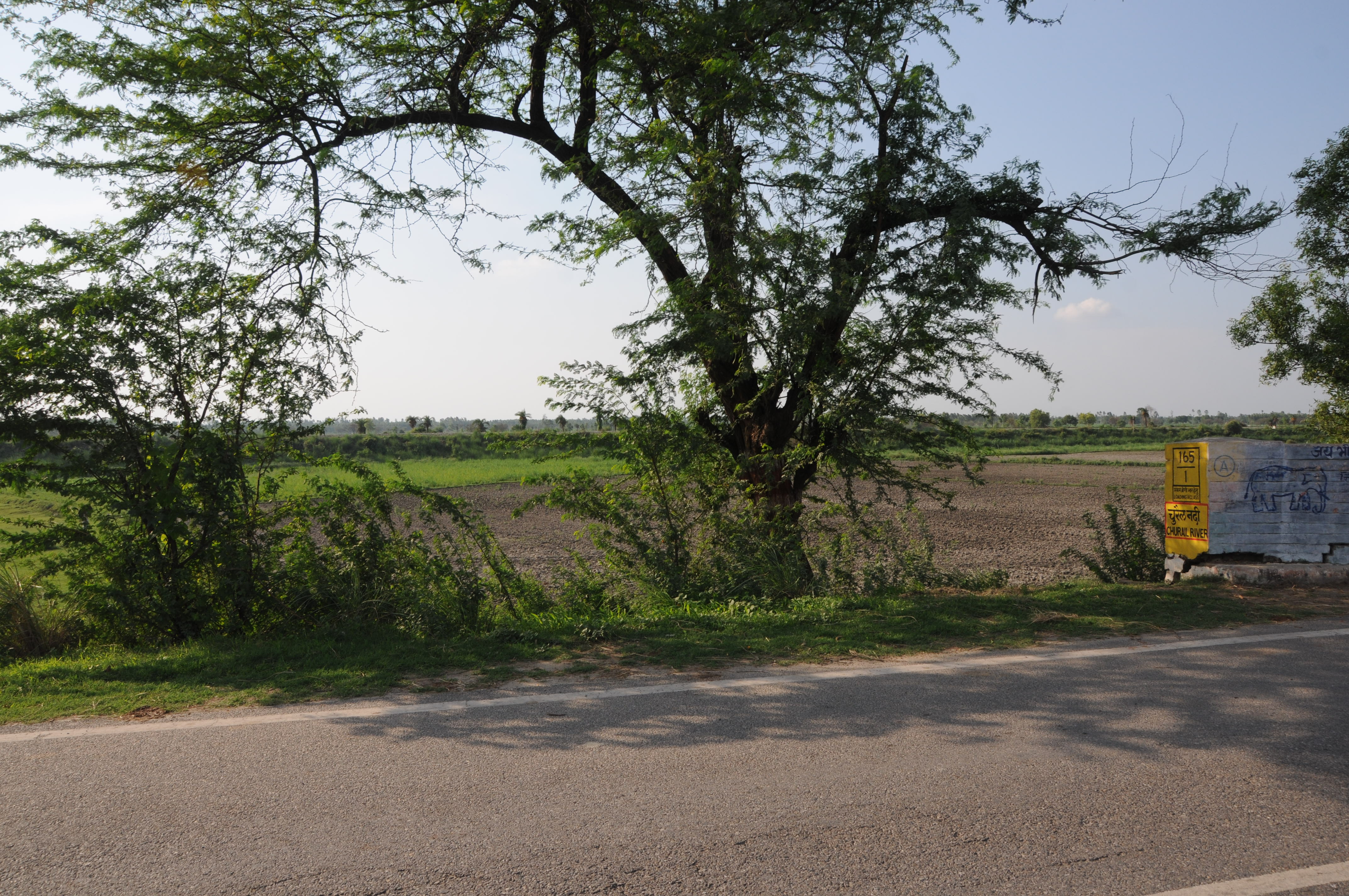
CSP_3158.JPG
CSP_3159.JPG

Distant relatives
Topographic Map of Kaneta Nikat Bahjoi, Uttar Pradesh, India
Find elevation by address:

Places near Kaneta Nikat Bahjoi, Uttar Pradesh, India:
Railway Station Bahjoi
Sambhal
Alam Sarai
Sambhal
Gawan
Asmoli
Ametha
Amroha
Amroha
Bulandshahar
Moradabad
Bulandshahr
Dhampur
Hapur
Meerut
Anwarpur
Bijnor
Gautam Buddh Nagar
Sector Xu 2
Ganga Nagar
Recent Searches:
- Elevation of Corso Fratelli Cairoli, 35, Macerata MC, Italy
- Elevation of Tallevast Rd, Sarasota, FL, USA
- Elevation of 4th St E, Sonoma, CA, USA
- Elevation of Black Hollow Rd, Pennsdale, PA, USA
- Elevation of Oakland Ave, Williamsport, PA, USA
- Elevation of Pedrógão Grande, Portugal
- Elevation of Klee Dr, Martinsburg, WV, USA
- Elevation of Via Roma, Pieranica CR, Italy
- Elevation of Tavkvetili Mountain, Georgia
- Elevation of Hartfords Bluff Cir, Mt Pleasant, SC, USA