Elevation of Amroha, Uttar Pradesh, India
Location: India > Uttar Pradesh >
Longitude: 78.3387066
Latitude: 28.7715965
Elevation: 211m / 692feet
Barometric Pressure: 99KPa
Elevation Map:
Satellite Map:
Related Photos:
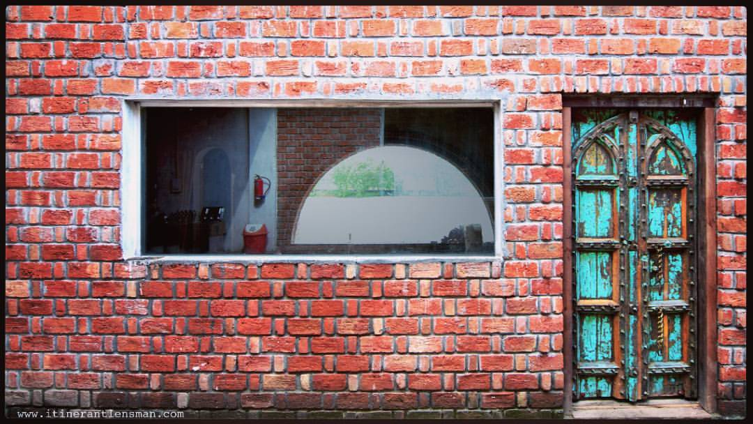
Frames in a frame : #door #window #facade #exposed #bricks #horizontal #vertical #puncture #frame #reuse #green #red #rattrap #building #architectureindia #Motel #dhaba #instaframe #instatraveling #instacool #instaclicks #nikontraveler #nikon_photography

The Baldie TKD WDP-1 at Gajraula Junction

mohd. faraz warsi

27/09/2008
Topographic Map of Amroha, Uttar Pradesh, India
Find elevation by address:

Places in Amroha, Uttar Pradesh, India:
Places near Amroha, Uttar Pradesh, India:
Amroha
Asmoli
Sambhal
Alam Sarai
Gawan
Sambhal
Ametha
Kaneta Nikat Bahjoi
Railway Station Bahjoi
Bulandshahar
Moradabad
Meerut
Dhampur
Hapur
Bijnor
Bulandshahr
Ganga Nagar
Fit Engineering College
Anwarpur
Meerut
Recent Searches:
- Elevation of Corso Fratelli Cairoli, 35, Macerata MC, Italy
- Elevation of Tallevast Rd, Sarasota, FL, USA
- Elevation of 4th St E, Sonoma, CA, USA
- Elevation of Black Hollow Rd, Pennsdale, PA, USA
- Elevation of Oakland Ave, Williamsport, PA, USA
- Elevation of Pedrógão Grande, Portugal
- Elevation of Klee Dr, Martinsburg, WV, USA
- Elevation of Via Roma, Pieranica CR, Italy
- Elevation of Tavkvetili Mountain, Georgia
- Elevation of Hartfords Bluff Cir, Mt Pleasant, SC, USA