Elevation of Kanaranzi, MN, USA
Location: United States > Minnesota > Rock County > Kanaranzi Township >
Longitude: -96.0944694
Latitude: 43.5758015
Elevation: 461m / 1512feet
Barometric Pressure: 0KPa
Related Photos:
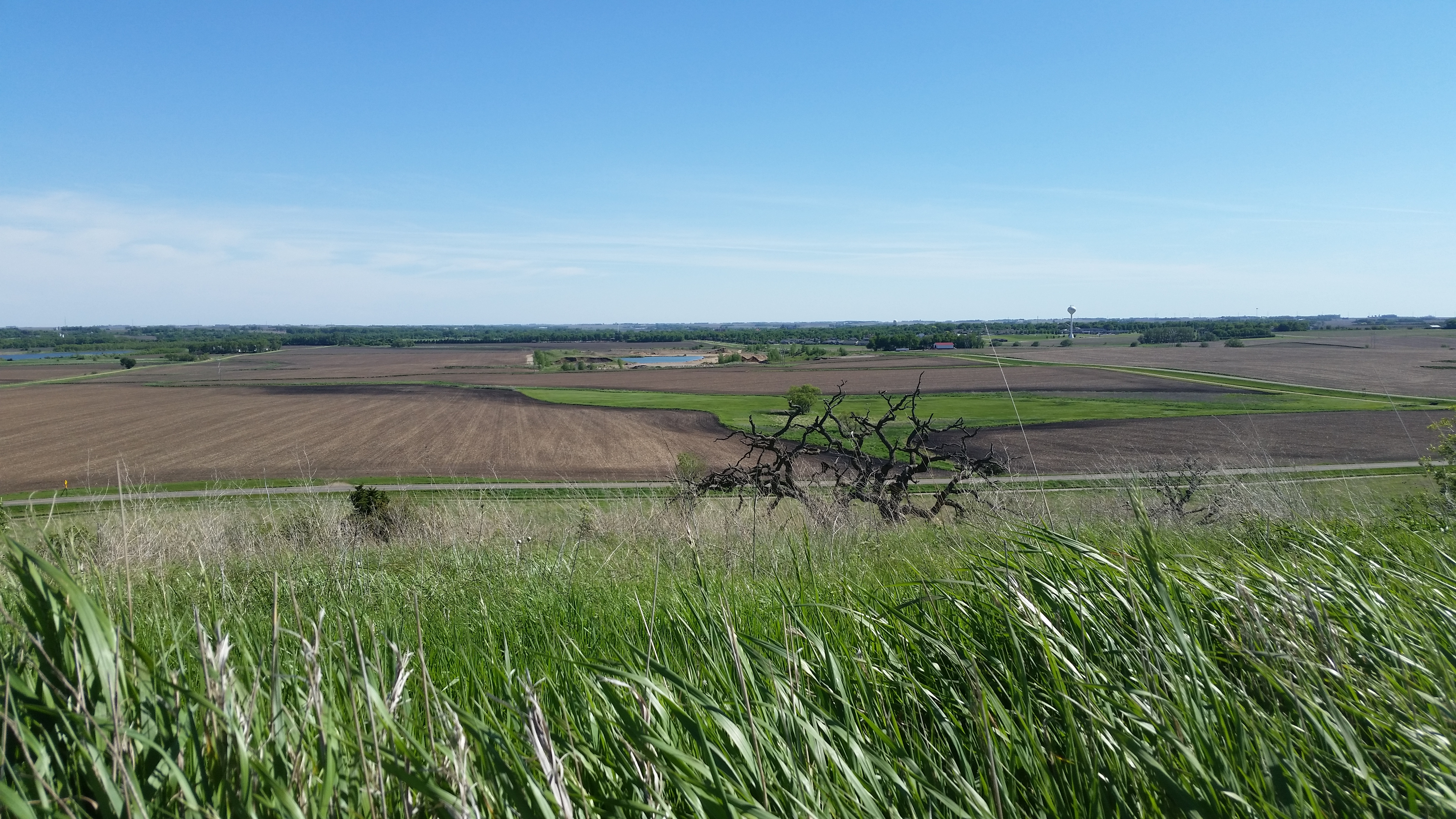
Blue Mounds State Park

Blue Mounds State Park
Blue Mounds State Park
Blue Mounds State Park
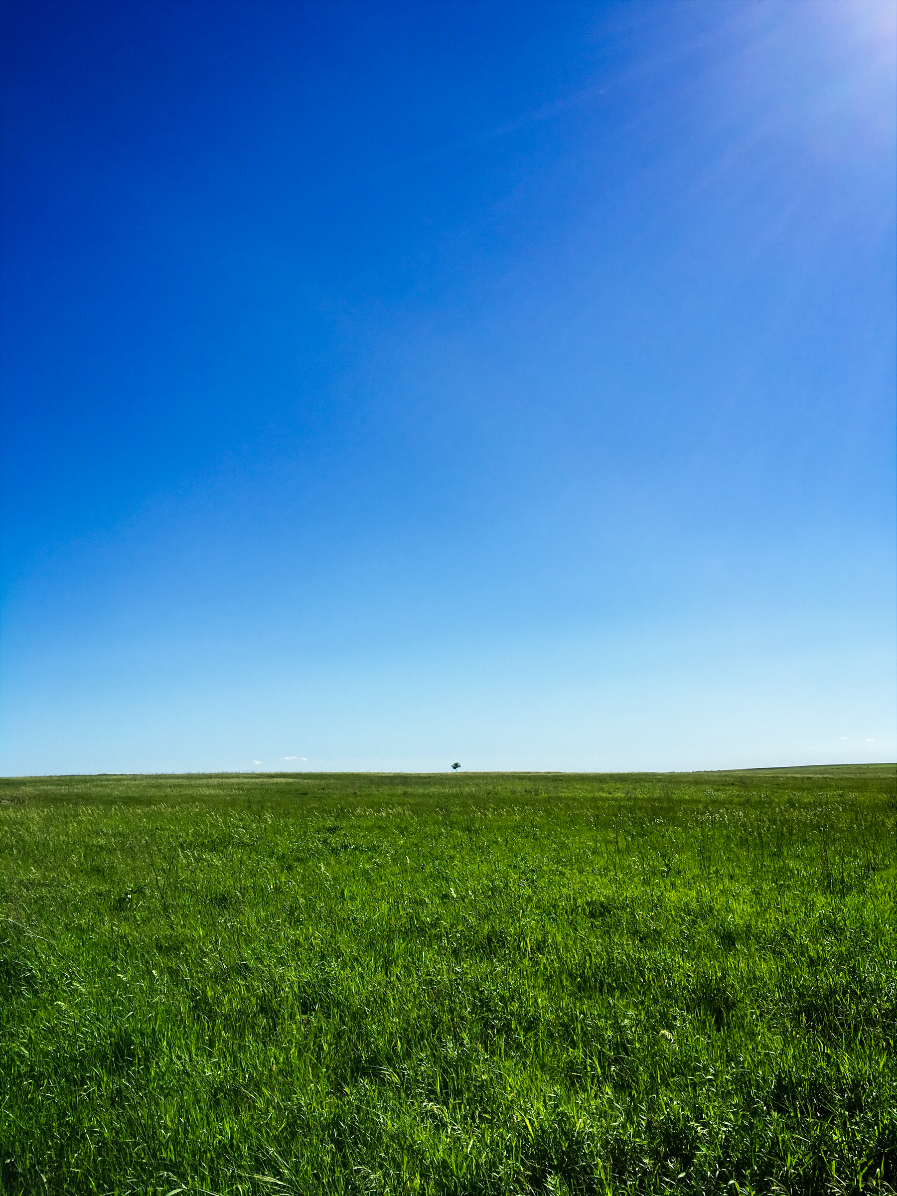
blue mounds landscape

Fast Wings

Interstate 90

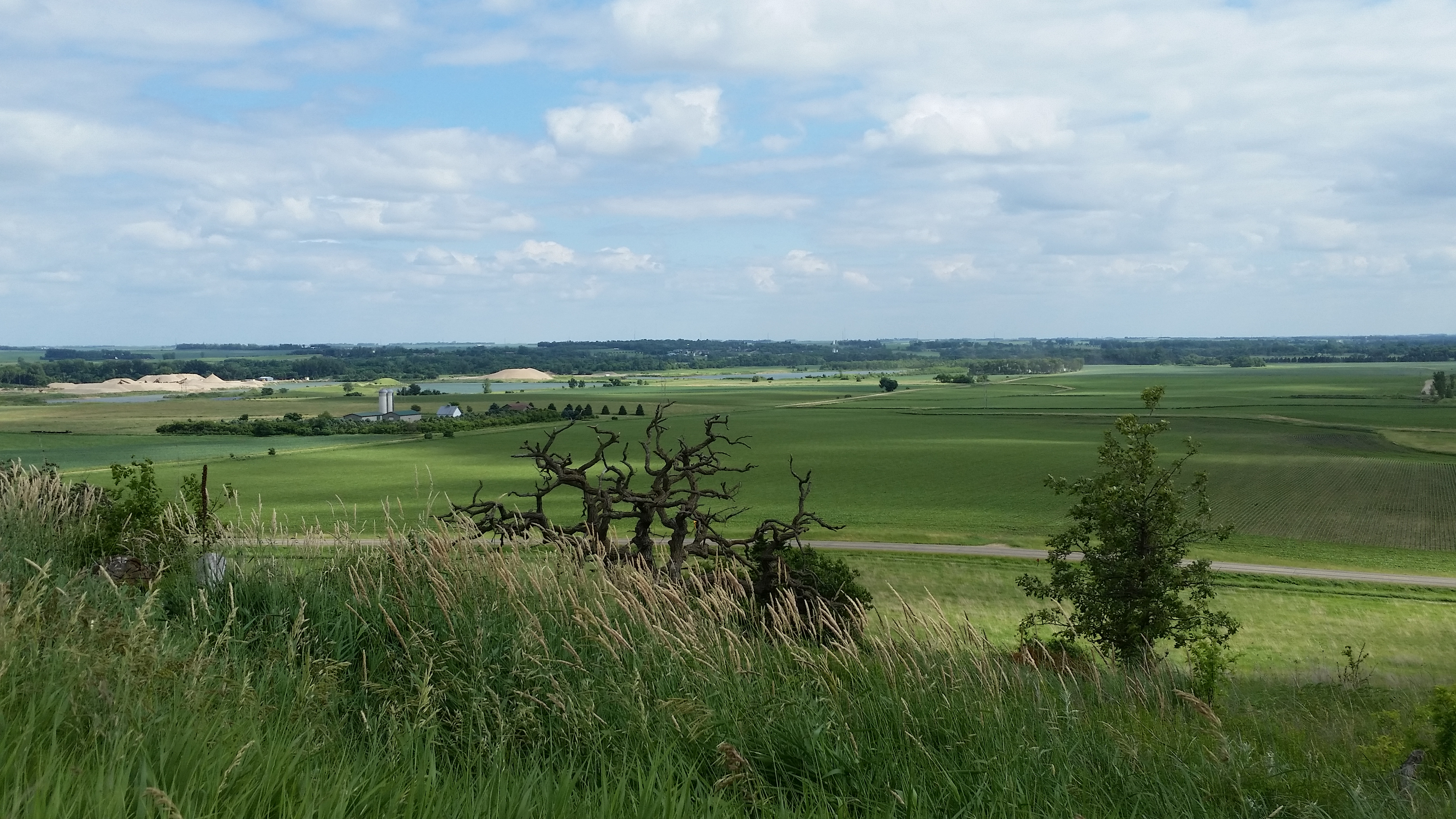
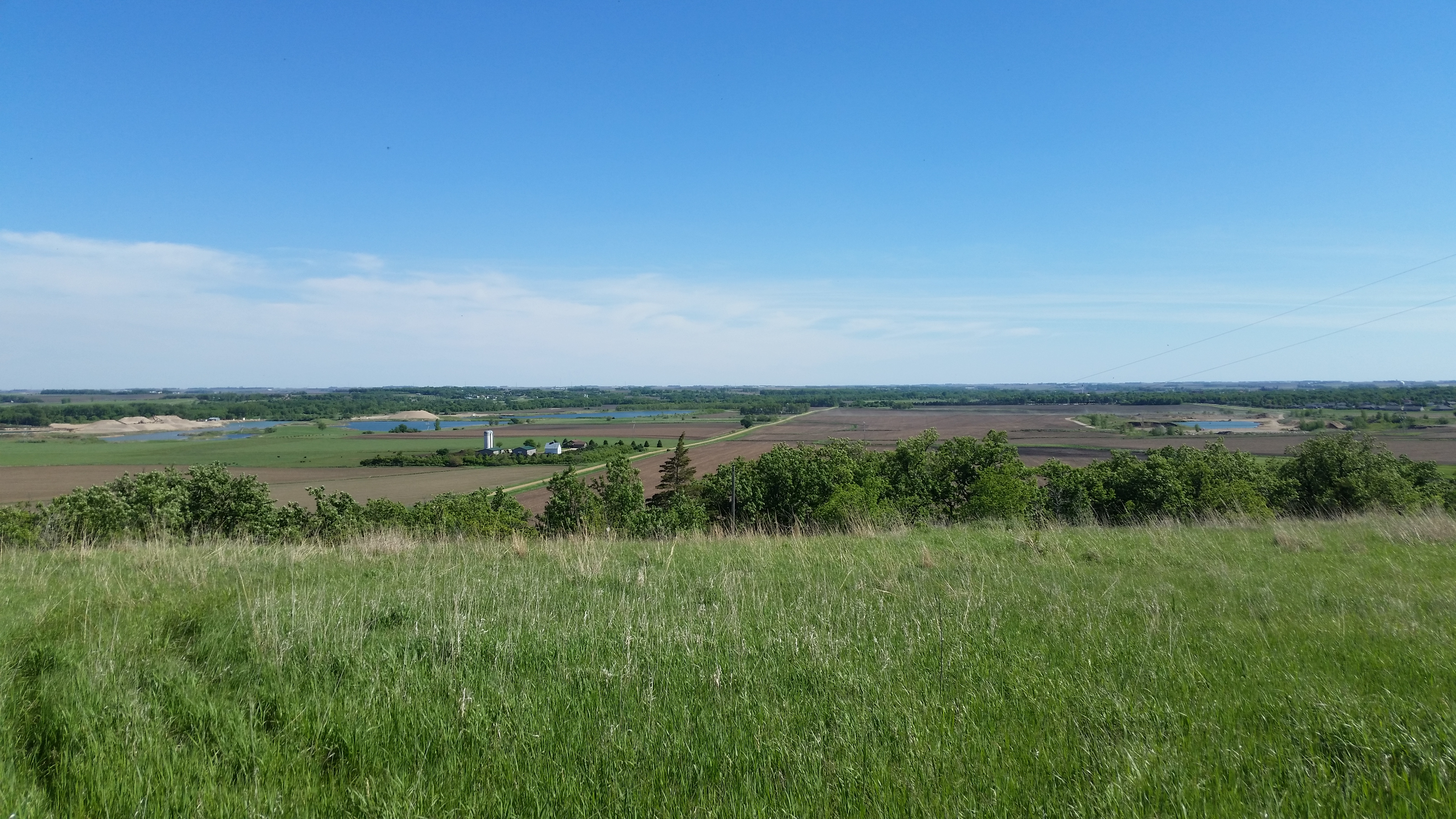
Prairie Vista
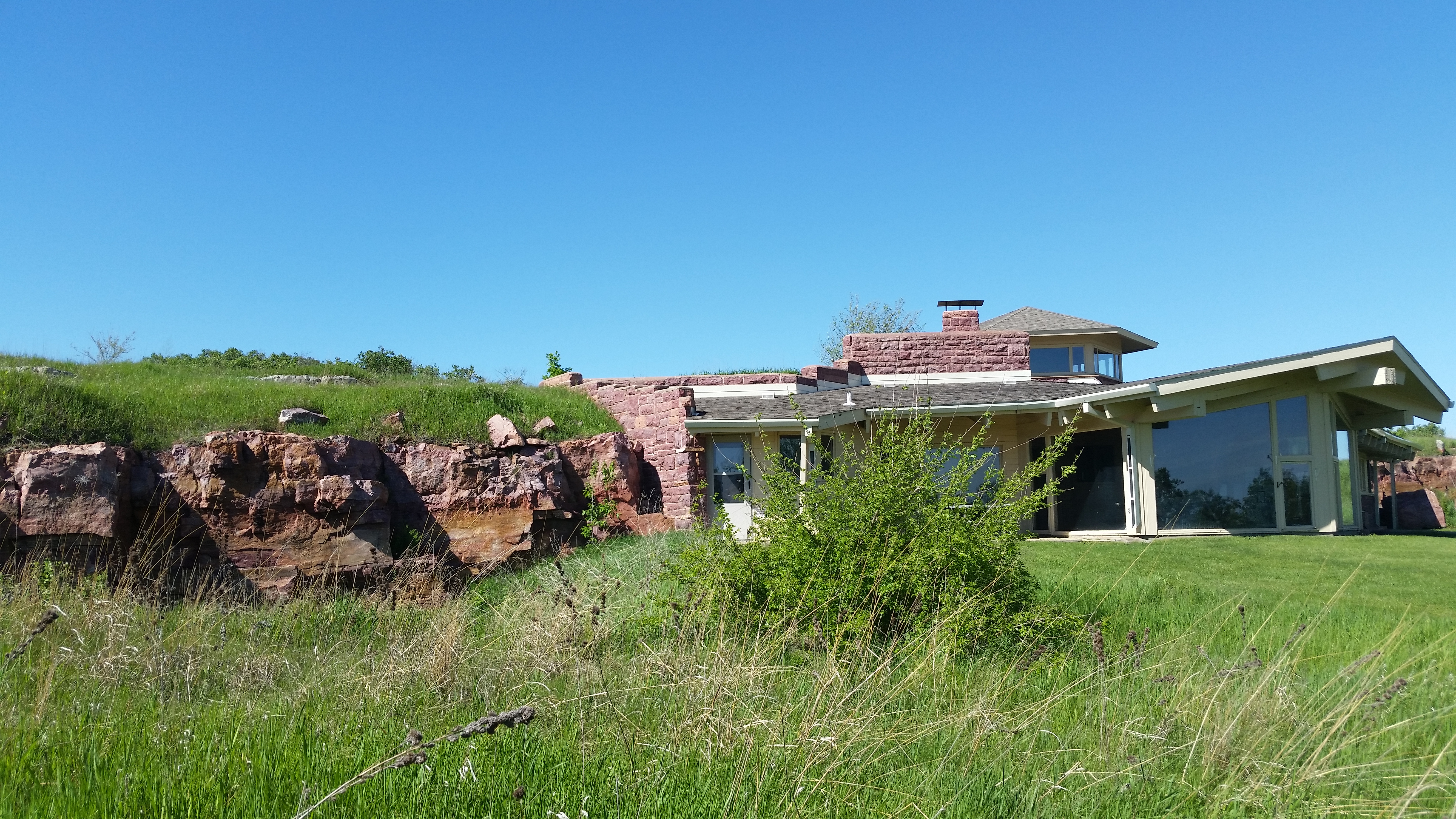
Blue Mounds State Park Interpretive Center

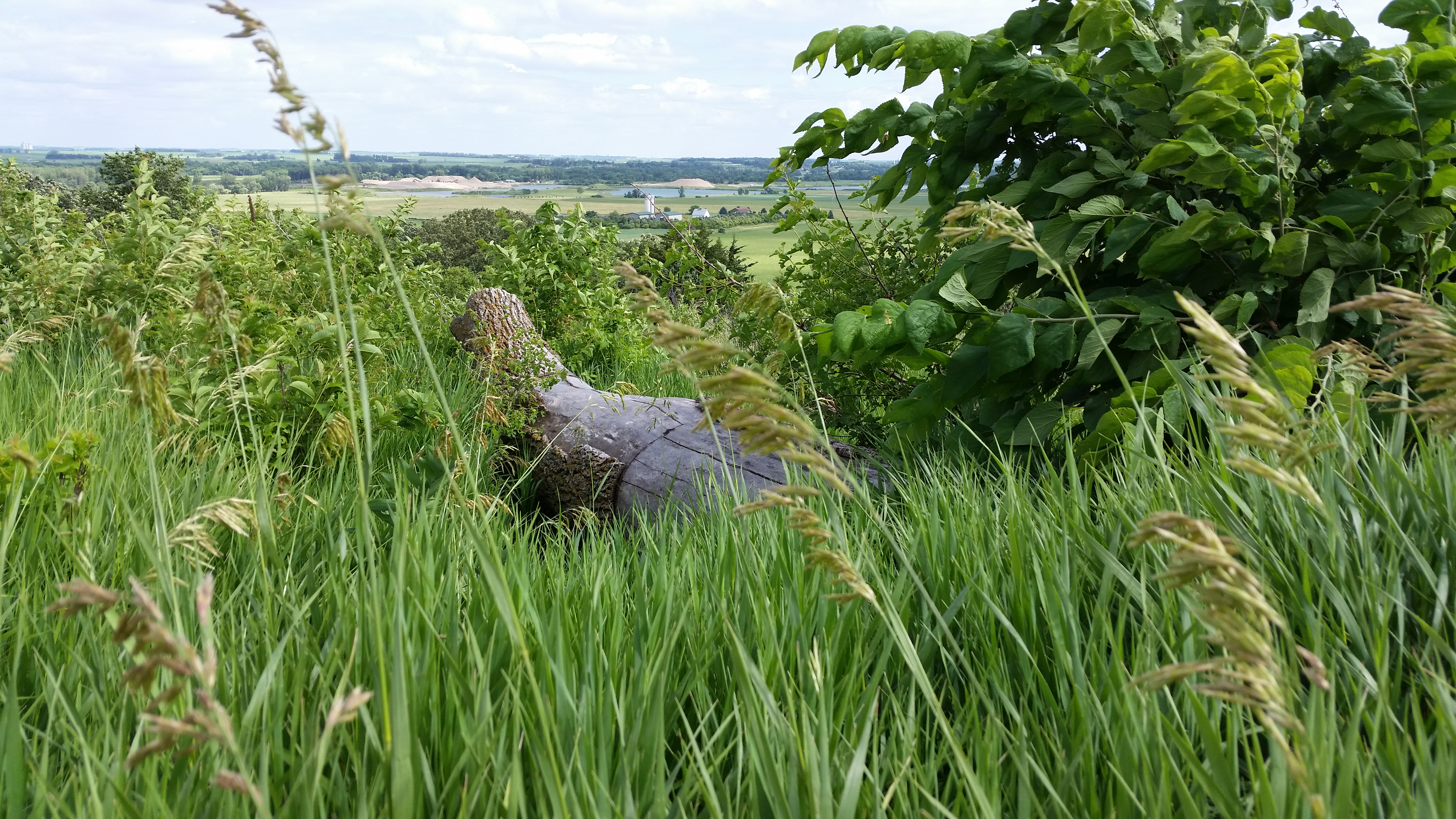
Trees by Blue Mound Quarry in Luverne MN
Blue Mounds State Park Interpretive Center
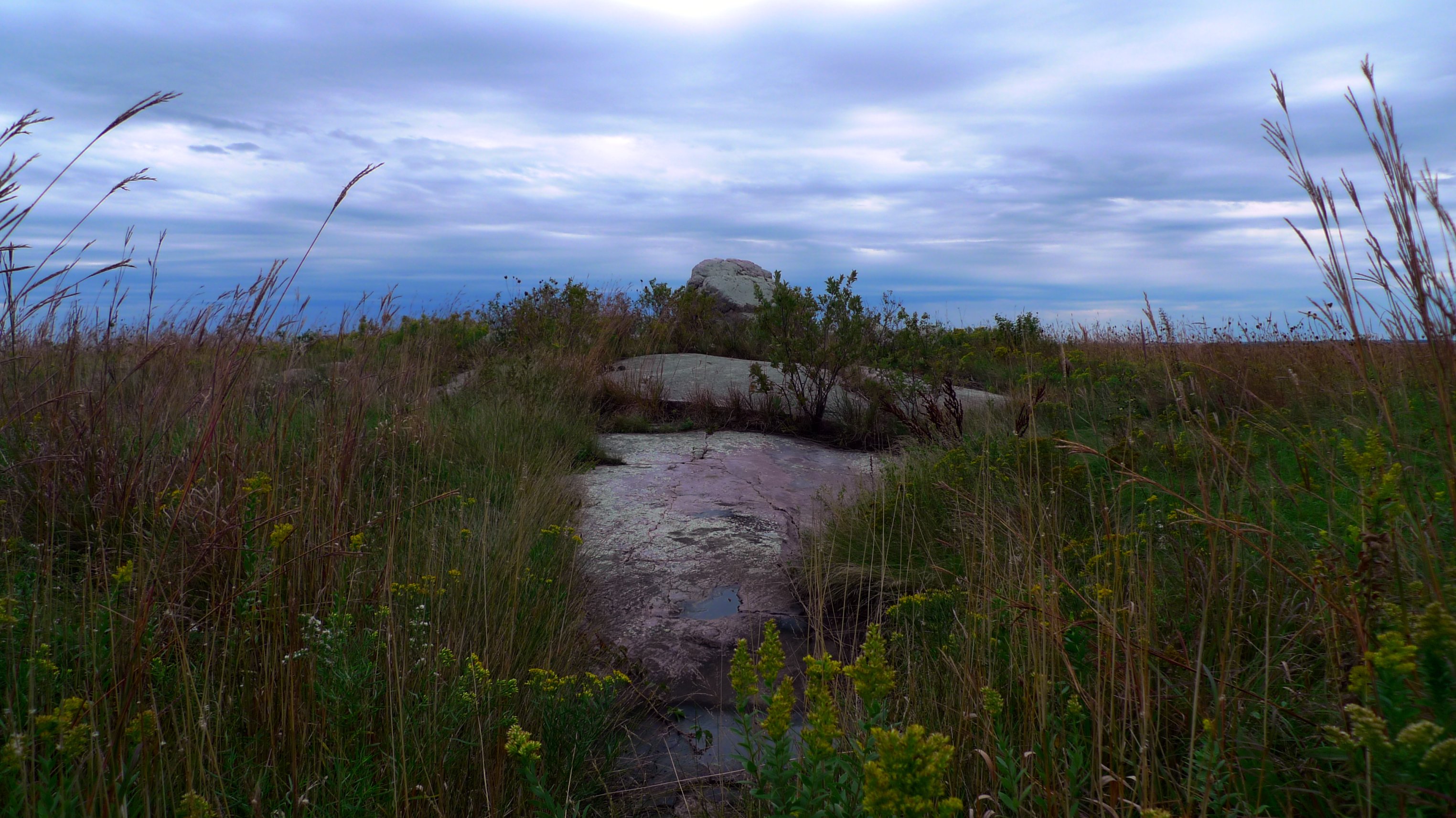
Eagle Rock
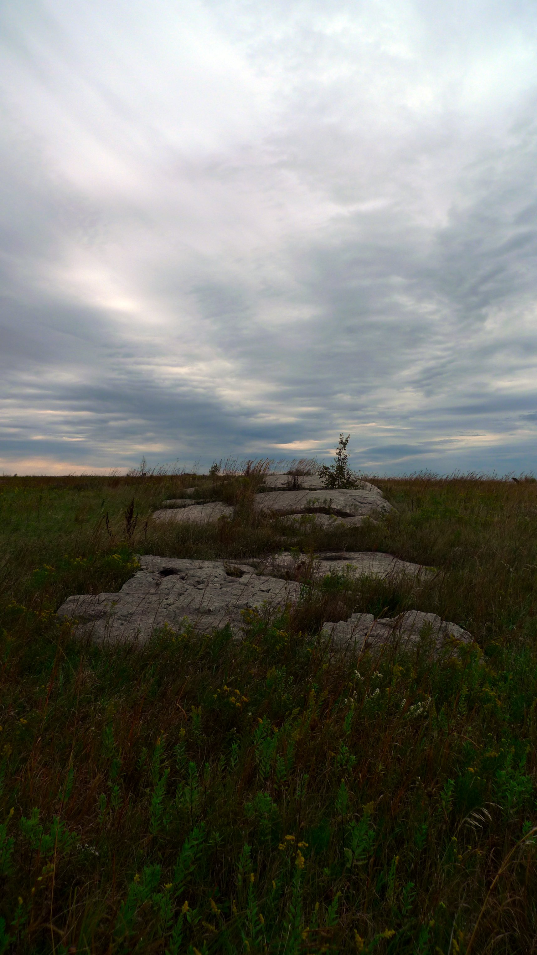
Stepping stones

Blue Mound Quarry in Luverne, MN

2008-08-08 09.25.14 - USA I-90 to Wall Drug
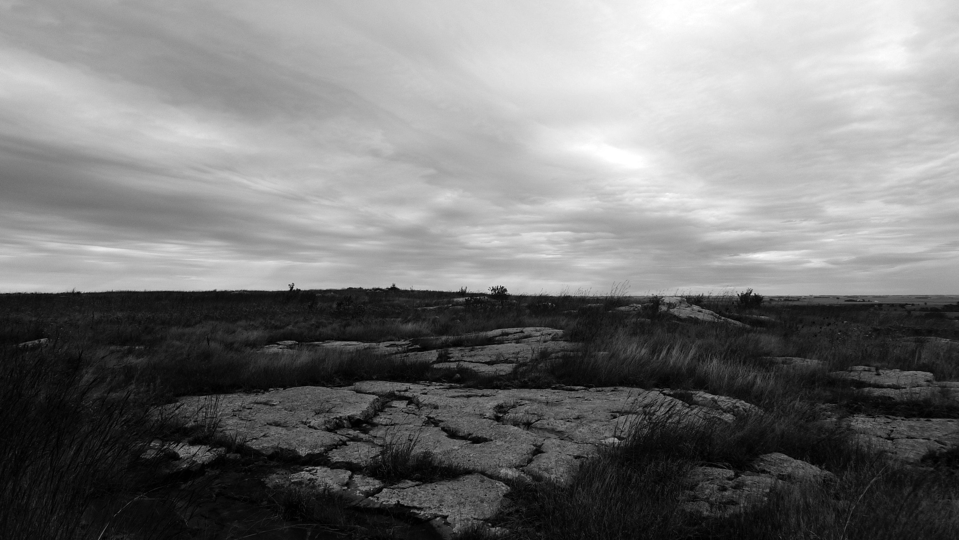
Minnesota flats
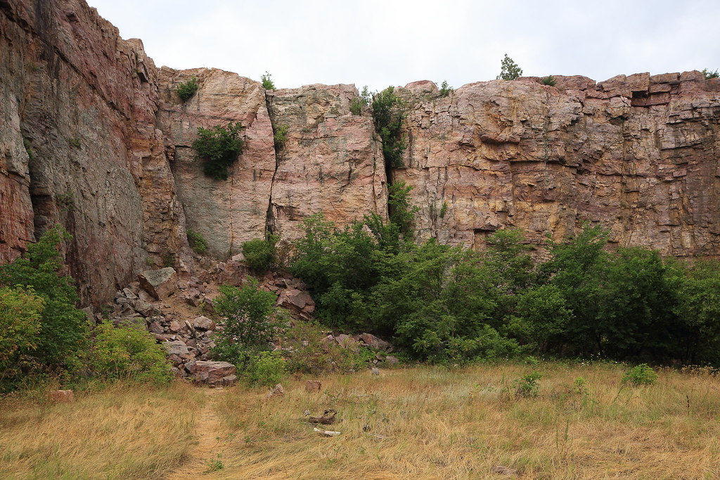
Red cliffs
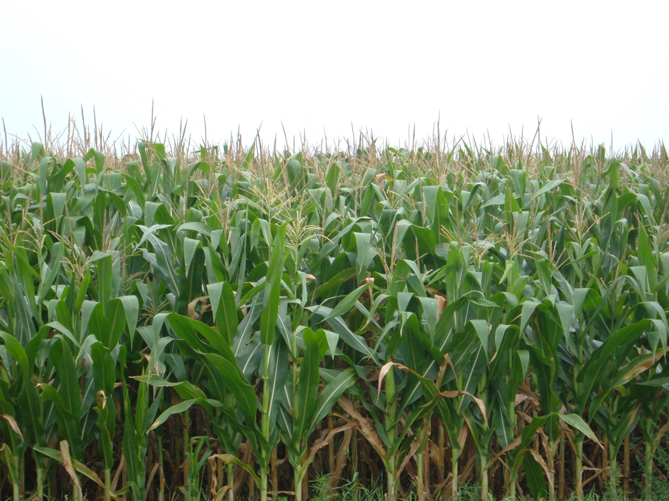
Corn Growing in Adrian, Minnesota
Blue Mounds State Park
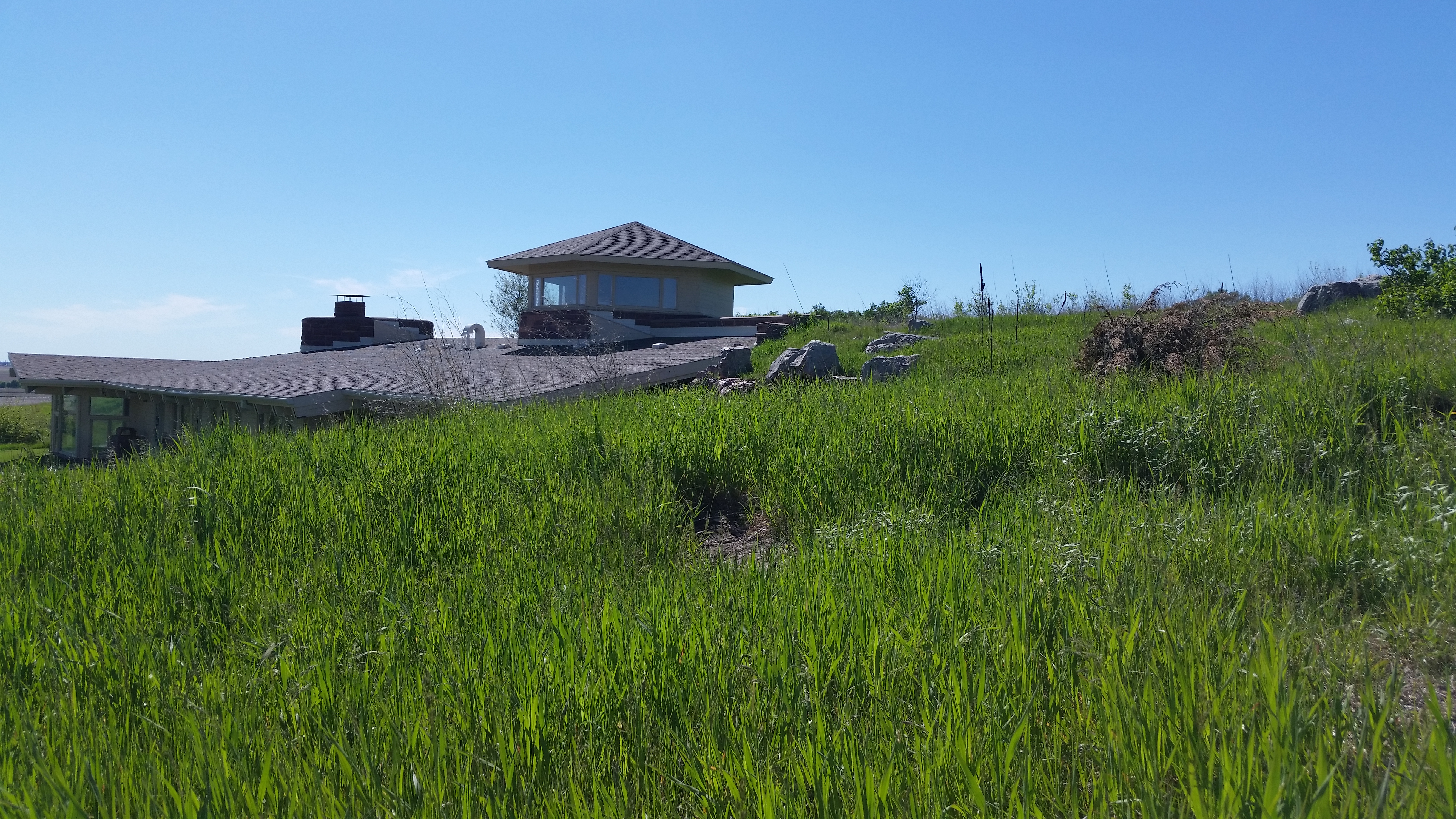
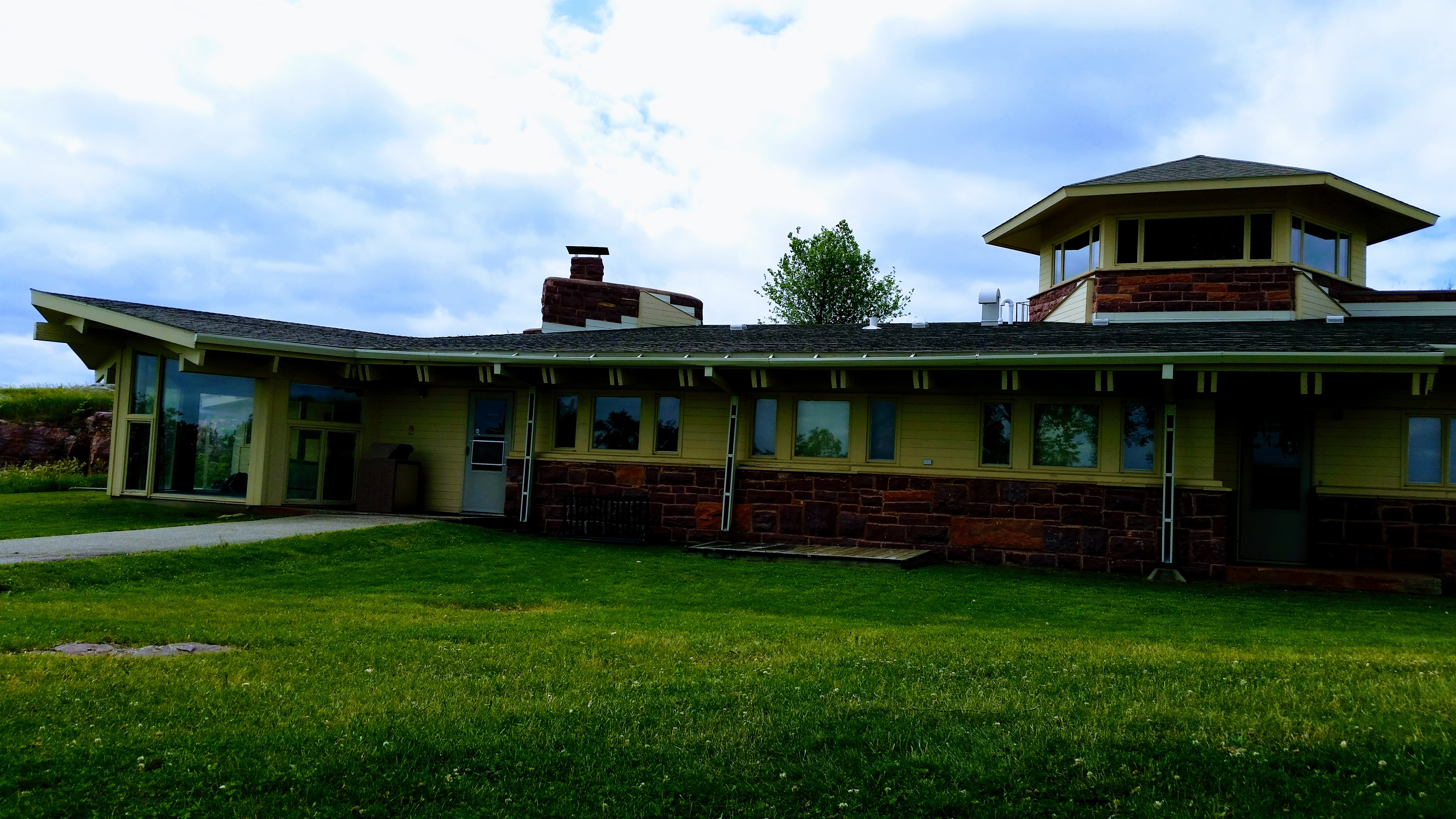
Blue Mounds State Park Interpretive Center
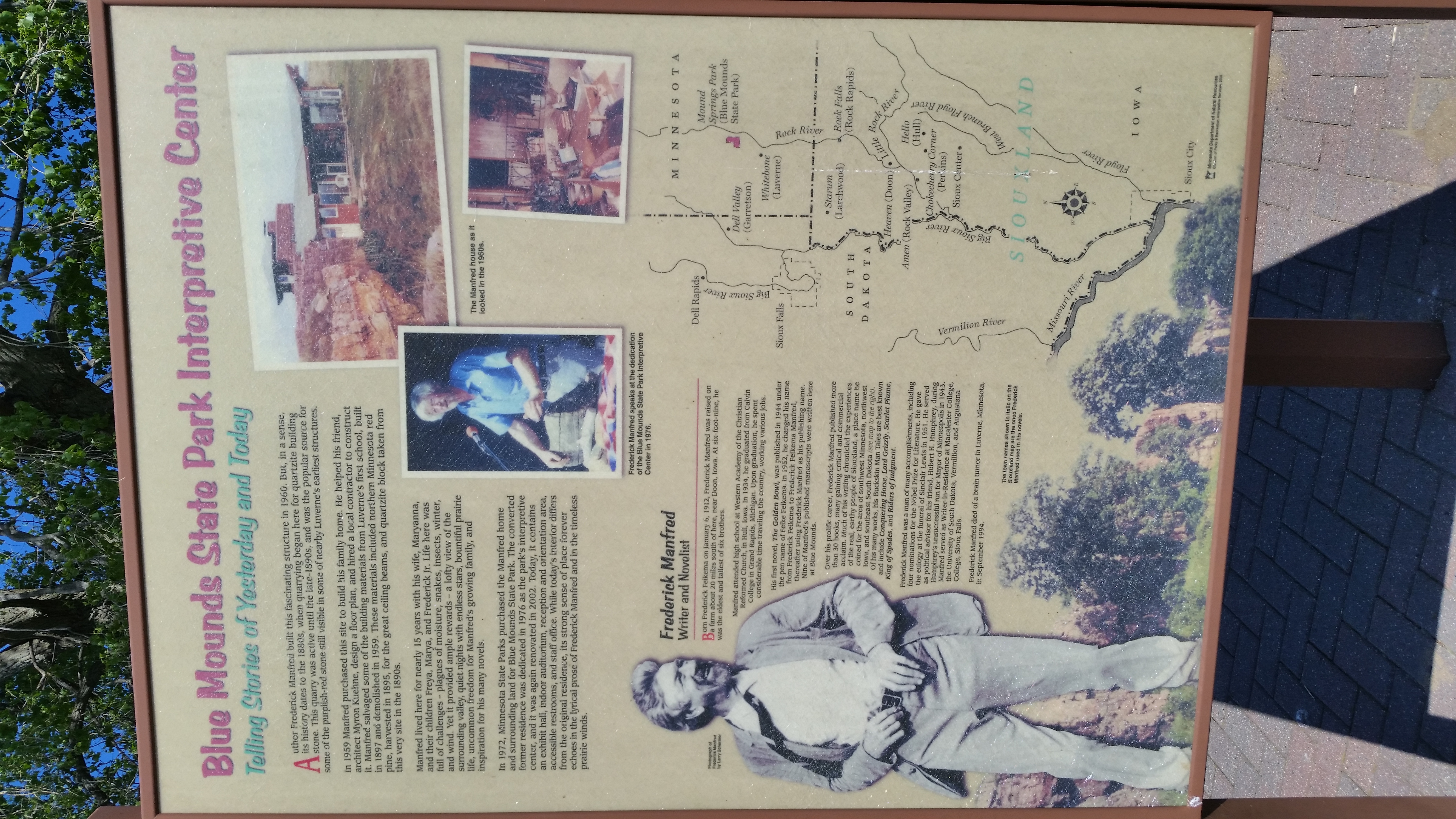
Blue Mounds State Park Interpretive Center
Topographic Map of Kanaranzi, MN, USA
Find elevation by address:

Places near Kanaranzi, MN, USA:
Kanaranzi Township
905 Main St
905 Main St
905 Main St
905 Main St
301 S 6th Ave
S Union St, Rock Rapids, IA, USA
Rock Rapids
Lyon County
Rock
314 1st Ave N
George
S Main Ave, Hills, MN, USA
Hills
31st St, Hills, MN, USA
Doon
Doon
S 2nd St, Doon, IA, USA
20th Ave, Beaver Creek, MN, USA
400 Maple St
Recent Searches:
- Elevation map of Greenland, Greenland
- Elevation of Sullivan Hill, New York, New York, 10002, USA
- Elevation of Morehead Road, Withrow Downs, Charlotte, Mecklenburg County, North Carolina, 28262, USA
- Elevation of 2800, Morehead Road, Withrow Downs, Charlotte, Mecklenburg County, North Carolina, 28262, USA
- Elevation of Yangbi Yi Autonomous County, Yunnan, China
- Elevation of Pingpo, Yangbi Yi Autonomous County, Yunnan, China
- Elevation of Mount Malong, Pingpo, Yangbi Yi Autonomous County, Yunnan, China
- Elevation map of Yongping County, Yunnan, China
- Elevation of North 8th Street, Palatka, Putnam County, Florida, 32177, USA
- Elevation of 107, Big Apple Road, East Palatka, Putnam County, Florida, 32131, USA
- Elevation of Jiezi, Chongzhou City, Sichuan, China
- Elevation of Chongzhou City, Sichuan, China
- Elevation of Huaiyuan, Chongzhou City, Sichuan, China
- Elevation of Qingxia, Chengdu, Sichuan, China
- Elevation of Corso Fratelli Cairoli, 35, Macerata MC, Italy
- Elevation of Tallevast Rd, Sarasota, FL, USA
- Elevation of 4th St E, Sonoma, CA, USA
- Elevation of Black Hollow Rd, Pennsdale, PA, USA
- Elevation of Oakland Ave, Williamsport, PA, USA
- Elevation of Pedrógão Grande, Portugal