Elevation of Maple St, Valley Springs, SD, USA
Location: United States > South Dakota > Minnehaha County > Valley Springs >
Longitude: -96.457981
Latitude: 43.5812604
Elevation: -10000m / -32808feet
Barometric Pressure: 295KPa
Elevation Map:
Satellite Map:
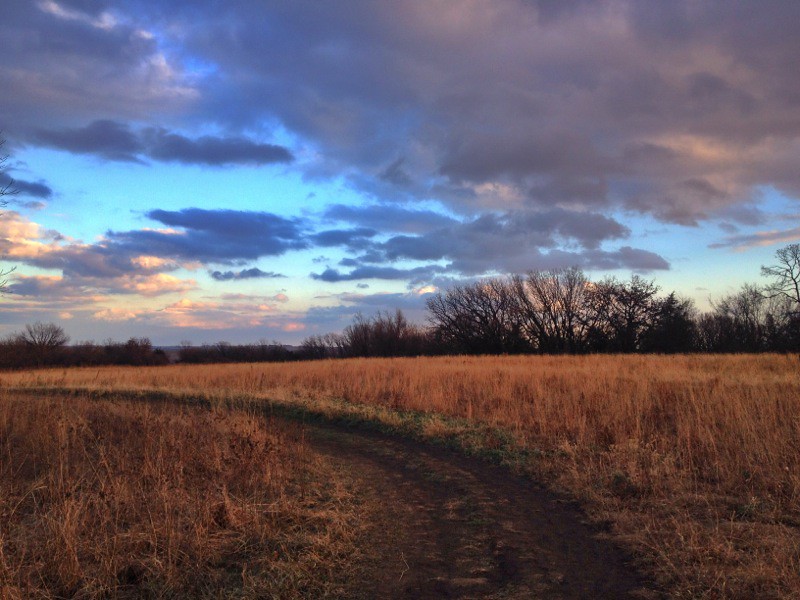
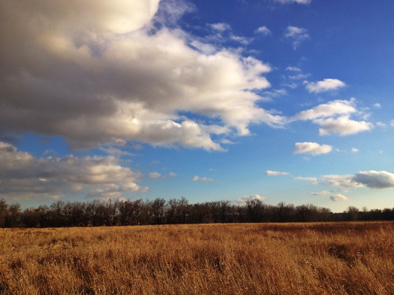
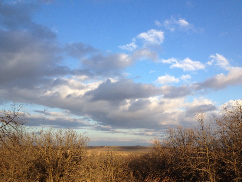
Related Photos:

Hoary Redpoll

Looking at the Cliffs of the Palisades

Tipi skeleton

20060712_08.jpg

View from above, King rock

View from above, King rock

View from above, King rock

Song Sparrow

Snowy Reflection
IMG_2608.JPG
IMG_2604.JPG

IMG_2609.JPG

IMG_1855.JPG

IMG_1858.jpg
IMG_2583.JPG

Awesome sunset after I got home from work.

Tri-Point Landscape (Lyon County, Iowa; Rock County, Minnesota; and Minnehaha County, South Dakota)

IMG_1878.JPG

IMG_2611.JPG

Crop Only

Great Faces Great Places

Welcome to South Dakota

storm pano

091606 17181

091606 17161

091606 17172

091606 17184

Gitchie Manitou 9-13-13-1296
Topographic Map of Maple St, Valley Springs, SD, USA
Find elevation by address:

Places near Maple St, Valley Springs, SD, USA:
Valley Springs
20th Ave, Beaver Creek, MN, USA
Valley Springs, SD, USA
Valley Springs Township
31st St, Hills, MN, USA
Hills
1605 Cedar St
S Main Ave, Hills, MN, USA
Split Rock Township
N Meadowbrook Ln, Sioux Falls, SD, USA
602 S Fawn Ct
602 S Fawn Ct
East Steamboat Trail
North Foss Avenue
5704 E Meadow Oak Cir
3112 Triple Play Avenue
3300 S Fernwood Ave
2000 S Alpine Ave
Springdale Township
4400 E 26th St
Recent Searches:
- Elevation of Corso Fratelli Cairoli, 35, Macerata MC, Italy
- Elevation of Tallevast Rd, Sarasota, FL, USA
- Elevation of 4th St E, Sonoma, CA, USA
- Elevation of Black Hollow Rd, Pennsdale, PA, USA
- Elevation of Oakland Ave, Williamsport, PA, USA
- Elevation of Pedrógão Grande, Portugal
- Elevation of Klee Dr, Martinsburg, WV, USA
- Elevation of Via Roma, Pieranica CR, Italy
- Elevation of Tavkvetili Mountain, Georgia
- Elevation of Hartfords Bluff Cir, Mt Pleasant, SC, USA