Elevation of Kalopani, Nepal
Location: Nepal > Western Region > Dhawalagiri >
Longitude: 83.6055732
Latitude: 28.6361878
Elevation: 2505m / 8218feet
Barometric Pressure: 75KPa
Elevation Map:
Satellite Map:
Related Photos:

2016-05a Circling the Annapurnas (60)

2016-05a Circling the Annapurnas (78)

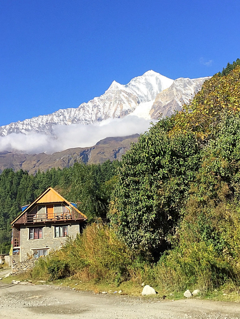
View from Marpha Gompa
View from Marpha Gompa

View from Marpha
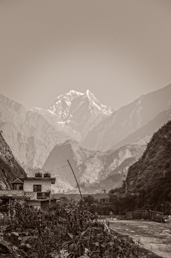
A view of Dhaulagiri from Tukuche.
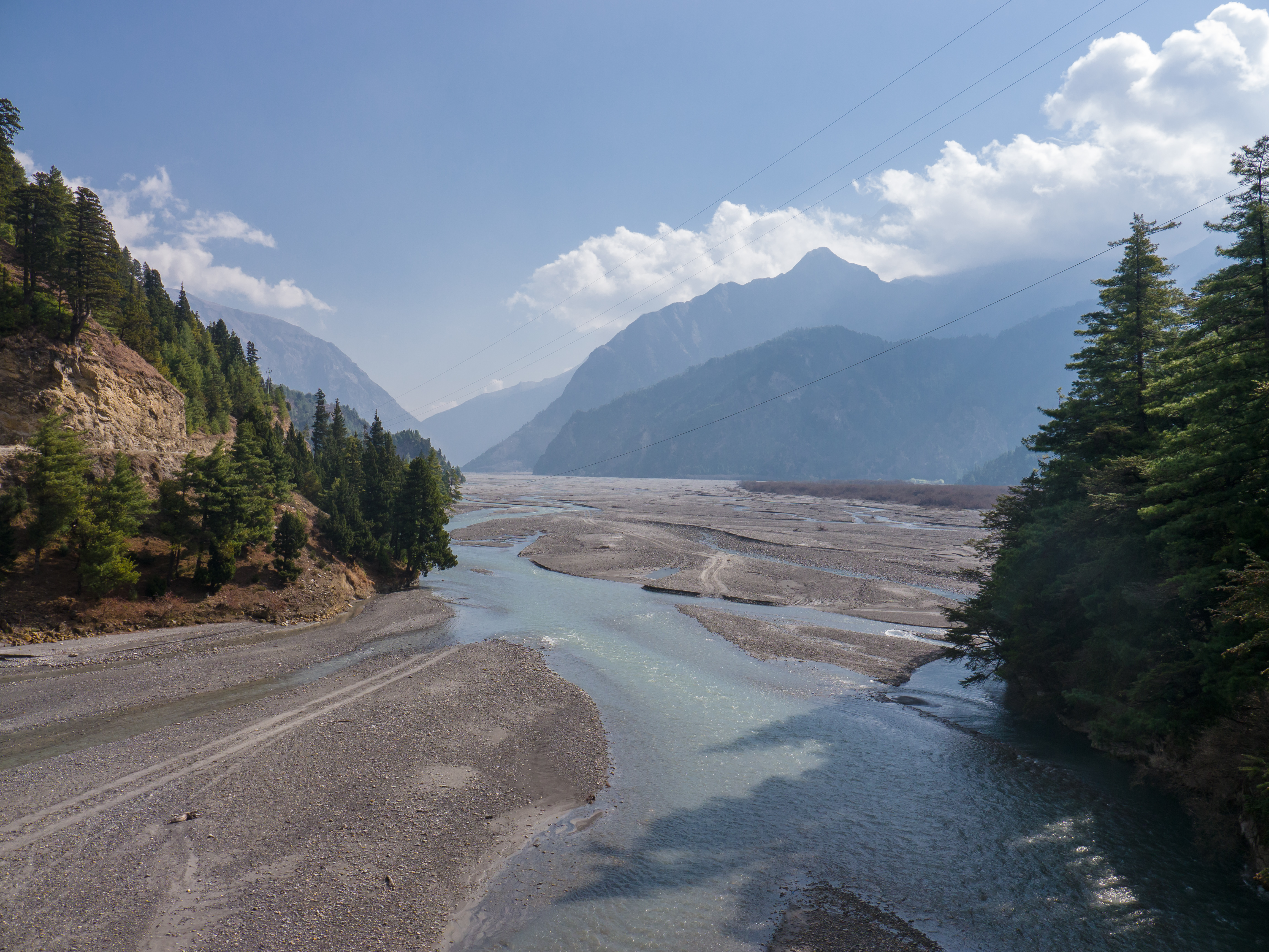
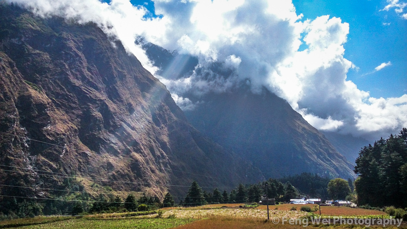
A view up the river toward the mountains from near Tatopani
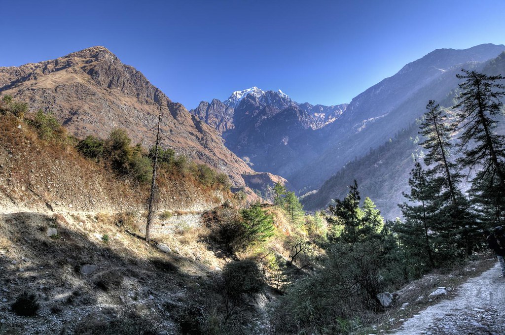
View on the Annapurna Circuit.
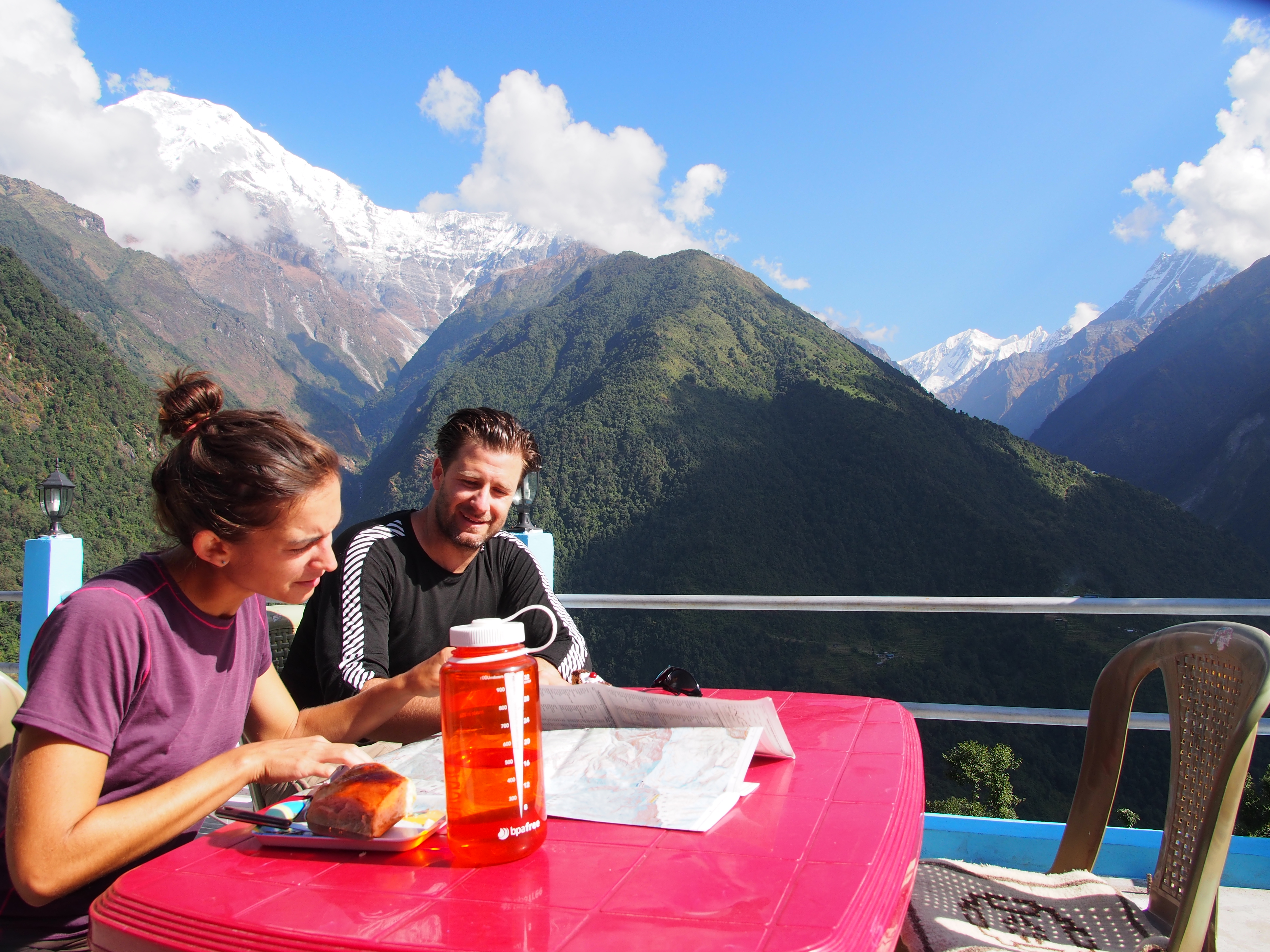
German baked goods in Chomrong

German baked goods in Chomrong
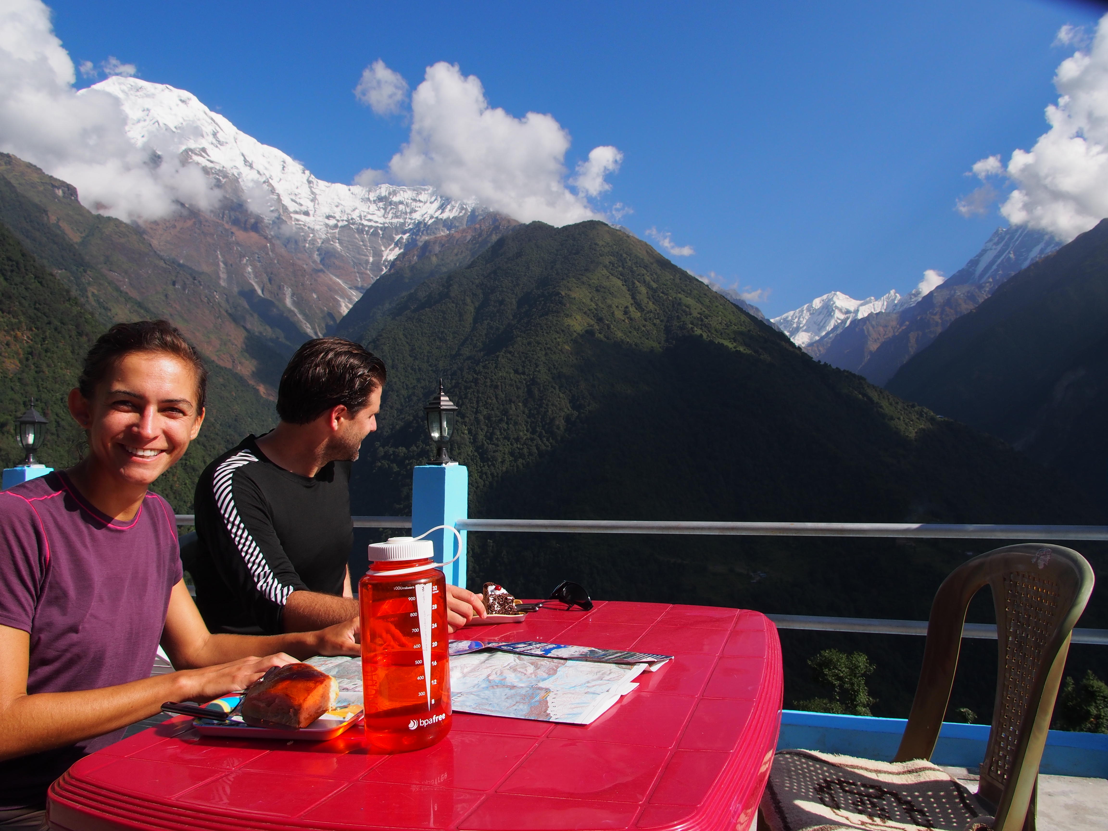
German baked goods in Chomrong
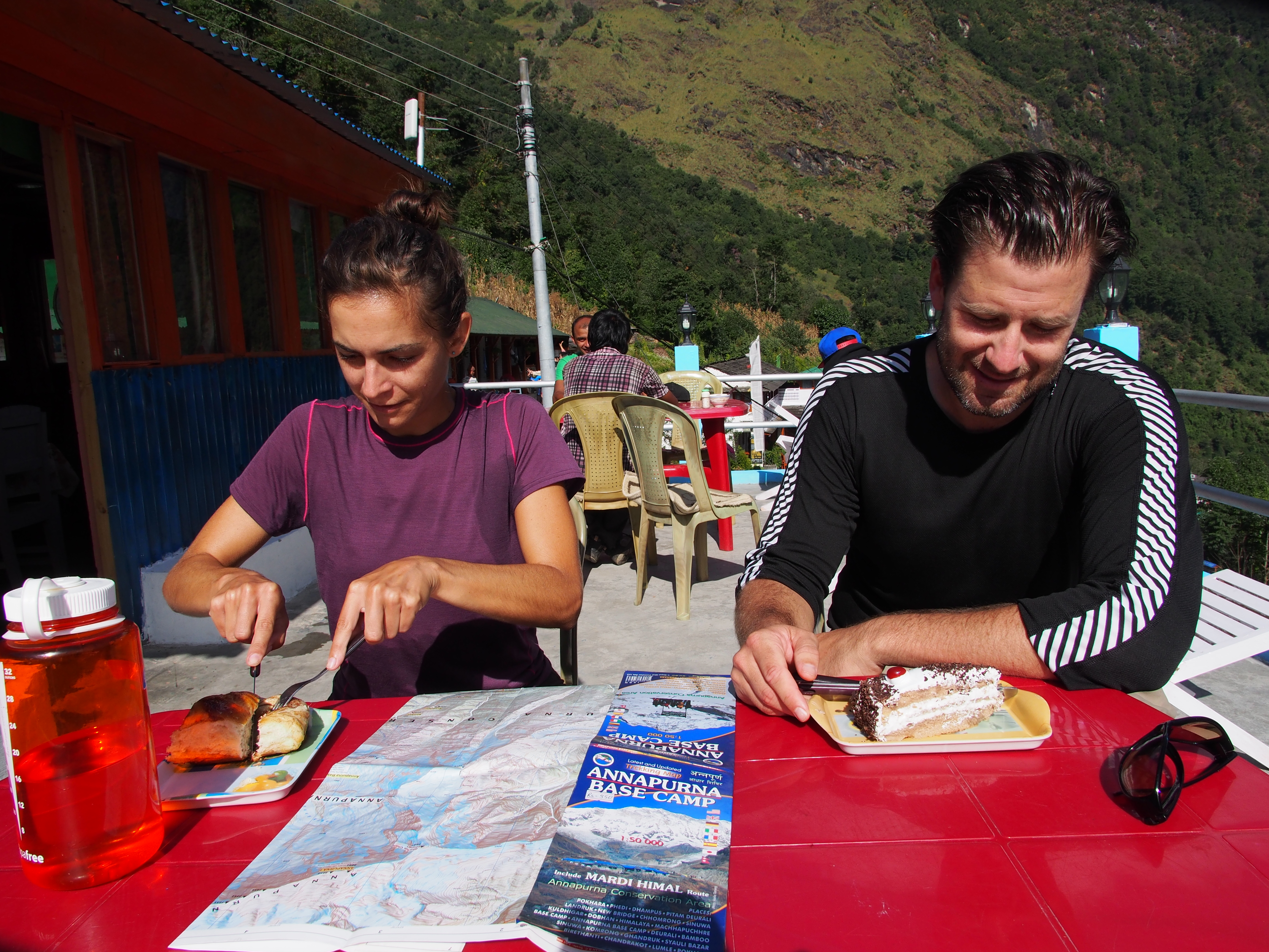
German baked goods in Chomrong
View from lodge, Gharap
View from bridge near Kokhethati
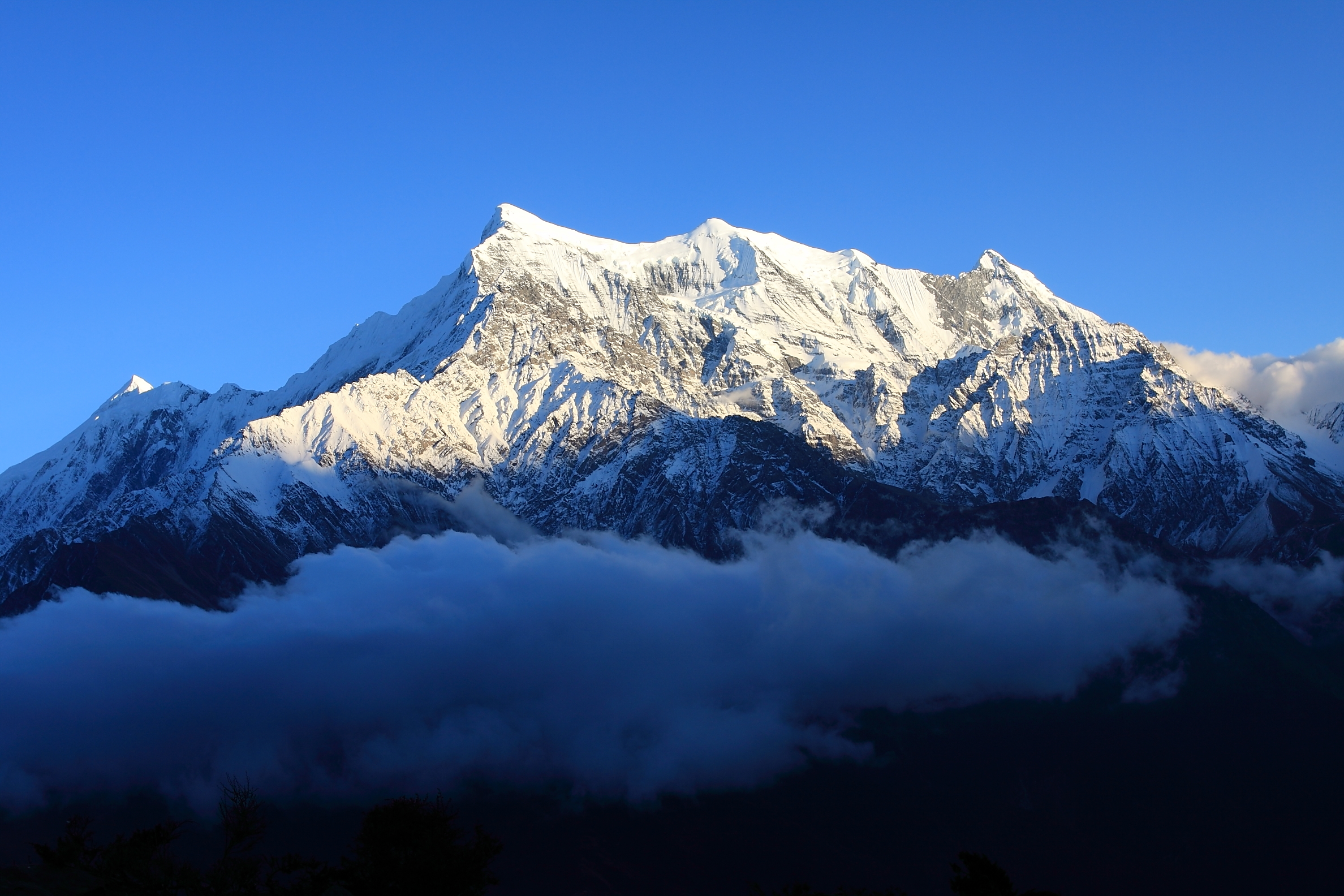
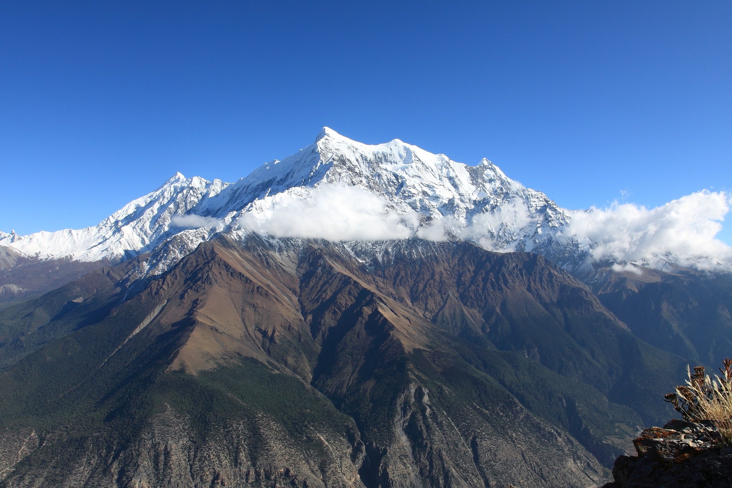
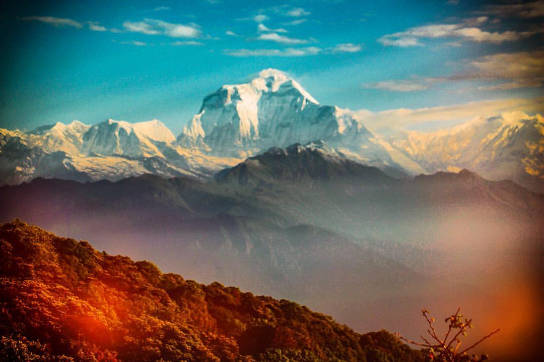
Annapurna I from Kali Gandaki

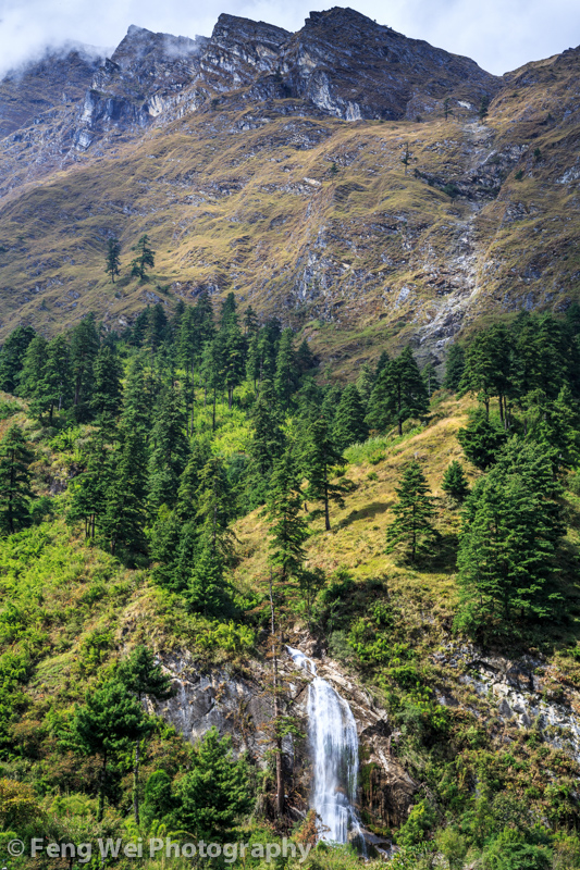
Rupse Chhahara
Tilicho and Nilgiri in the Annapurna region from Alubari
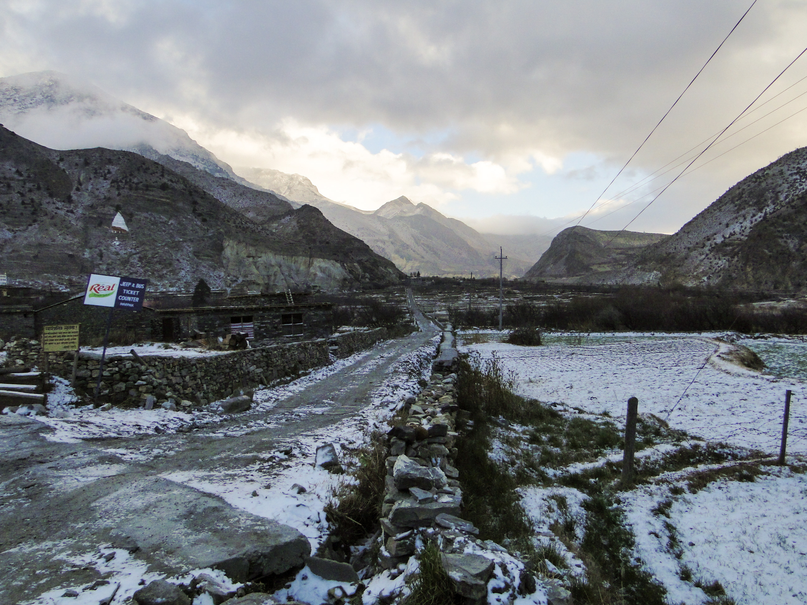
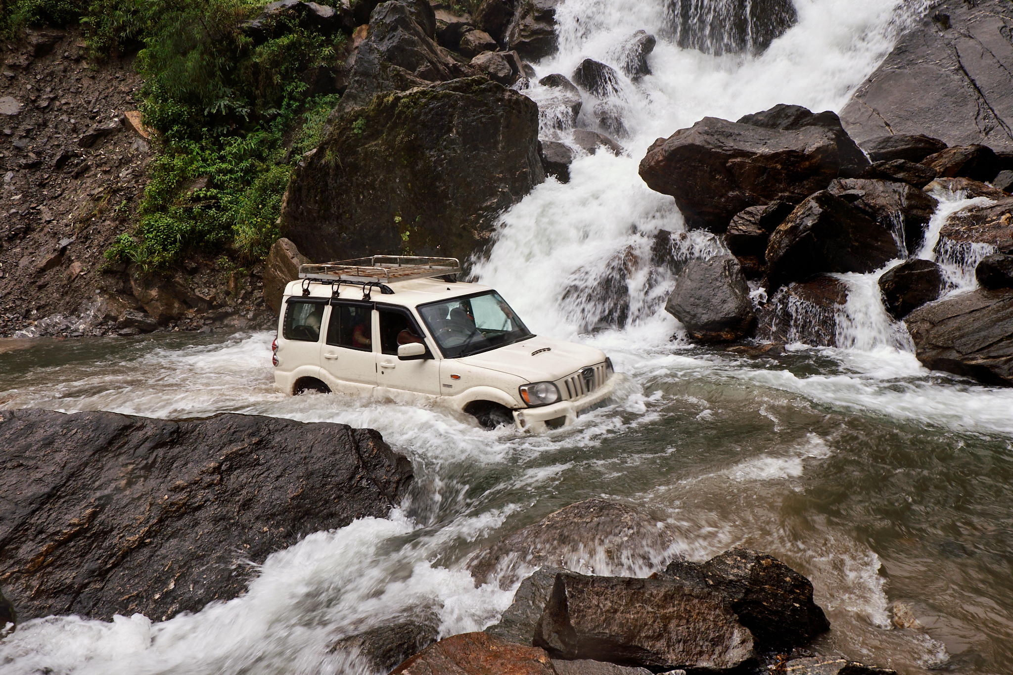
2012-01-10-05-08-10-Марфа-Татопани_001
Waterfall In the Mountains, Ghasa, Annapurna Circuit, Nepal

Nepal 1986
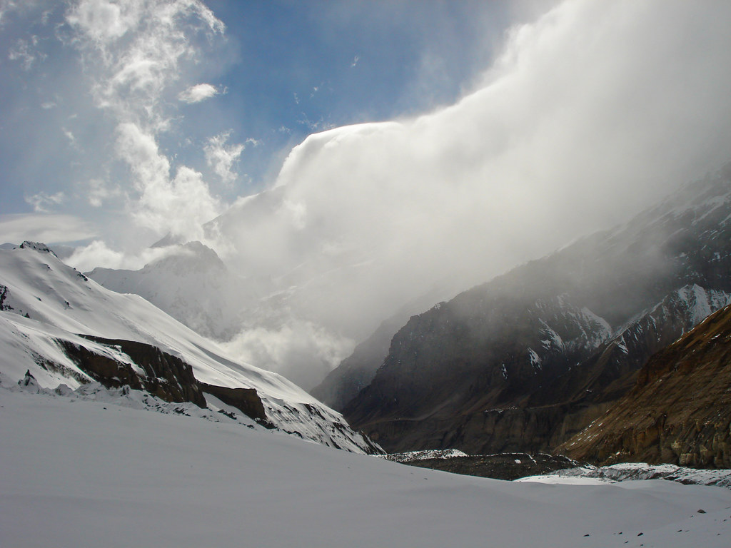
Nepal 112 Dhaulagiri Circuit
Nepal 2014 - Annapurna Circuit
Annapurna range from above Alubari

DSC0836 Amanecer en el Dhaulagiri I (8167 m.)
Vintage Dhaulagiri, 7th highest peak on earth. #mountaincrushmonday #Nepal

Nepal 1986

Nepal 1986
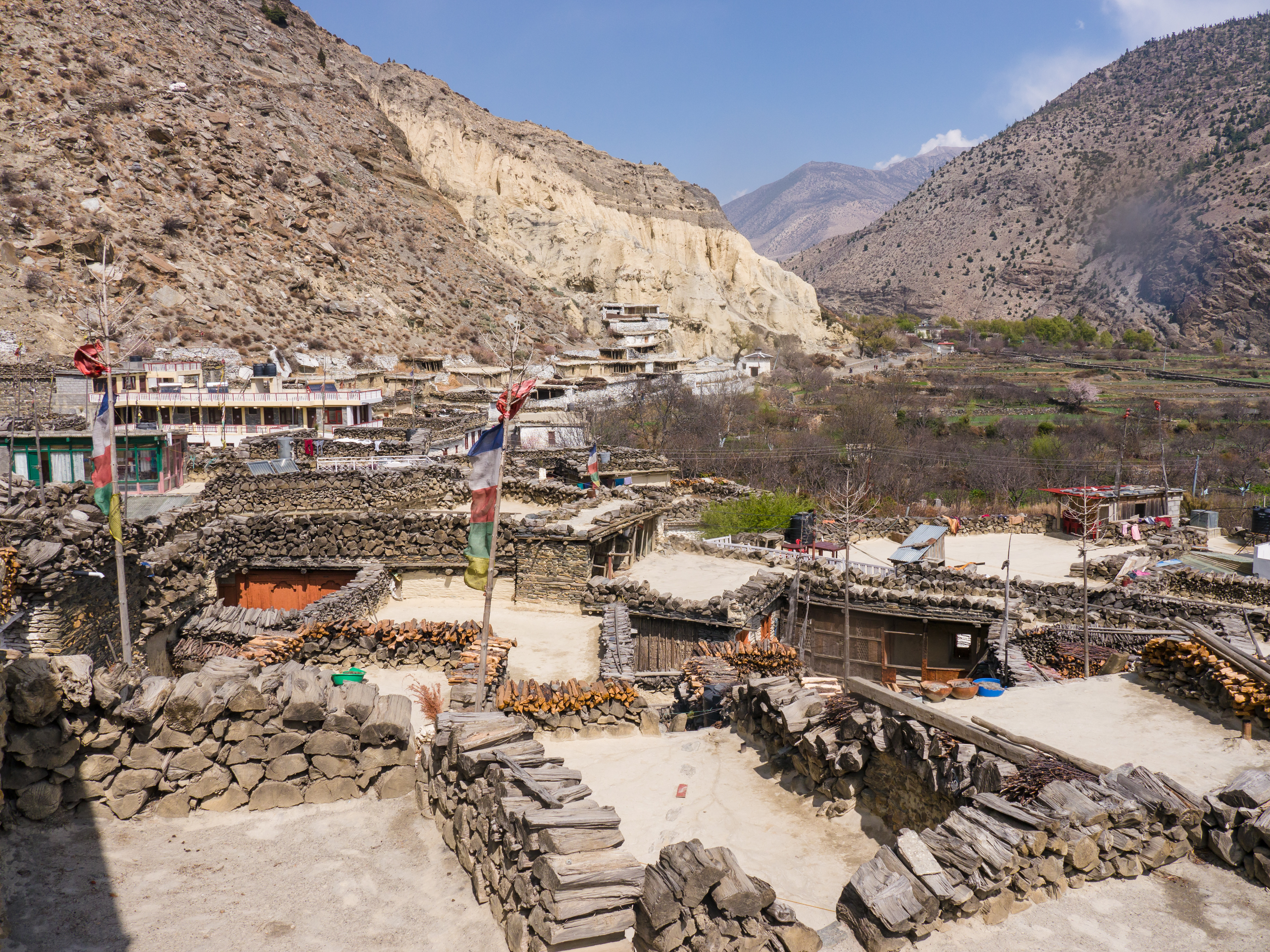
014 - Mustang

Nepal 1986
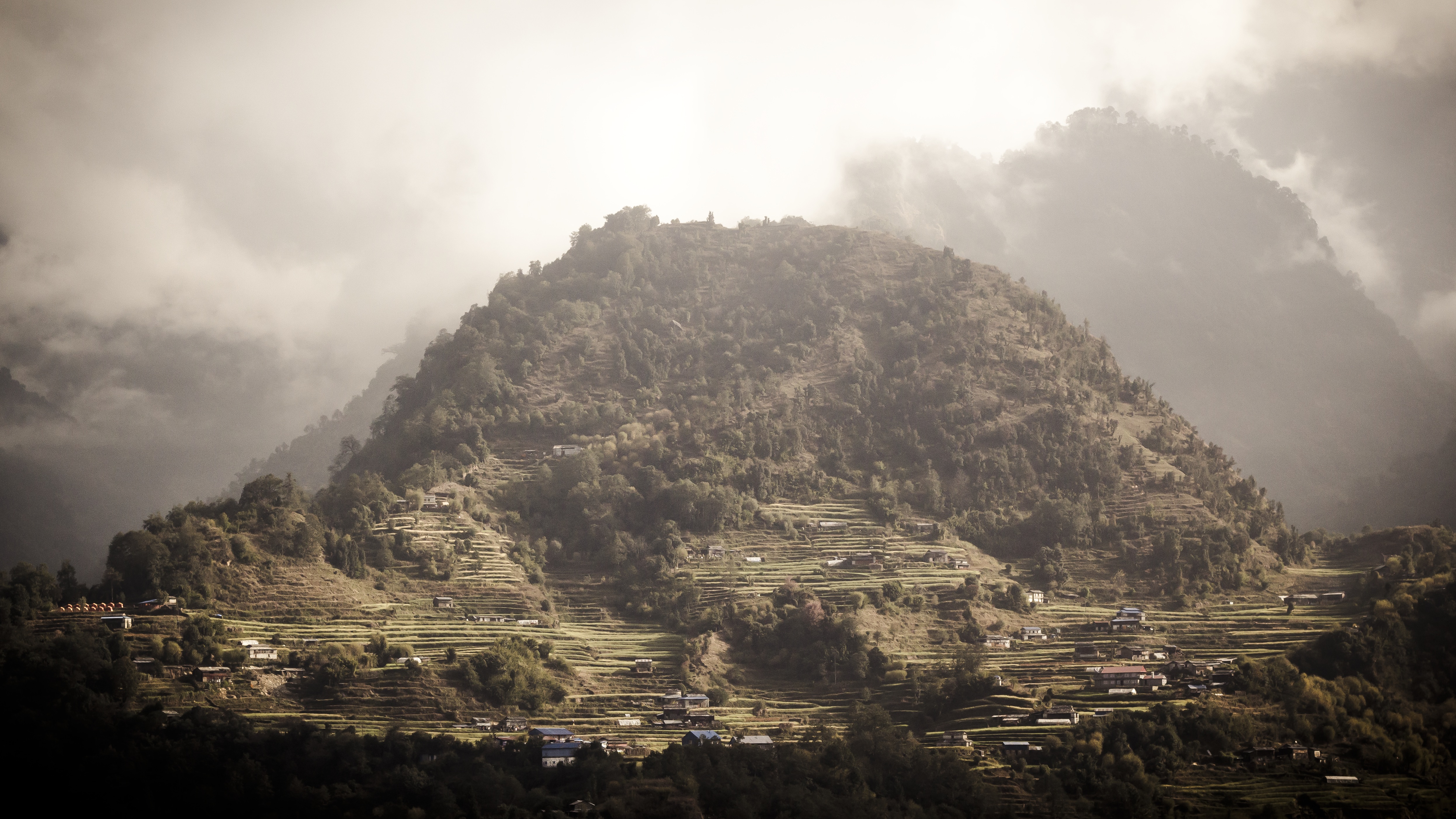
Rural Landscape, Tukuche-Tatopani, Annapurna Circuit, Nepal
Topographic Map of Kalopani, Nepal
Find elevation by address:

Places near Kalopani, Nepal:
Kalopani Guest House
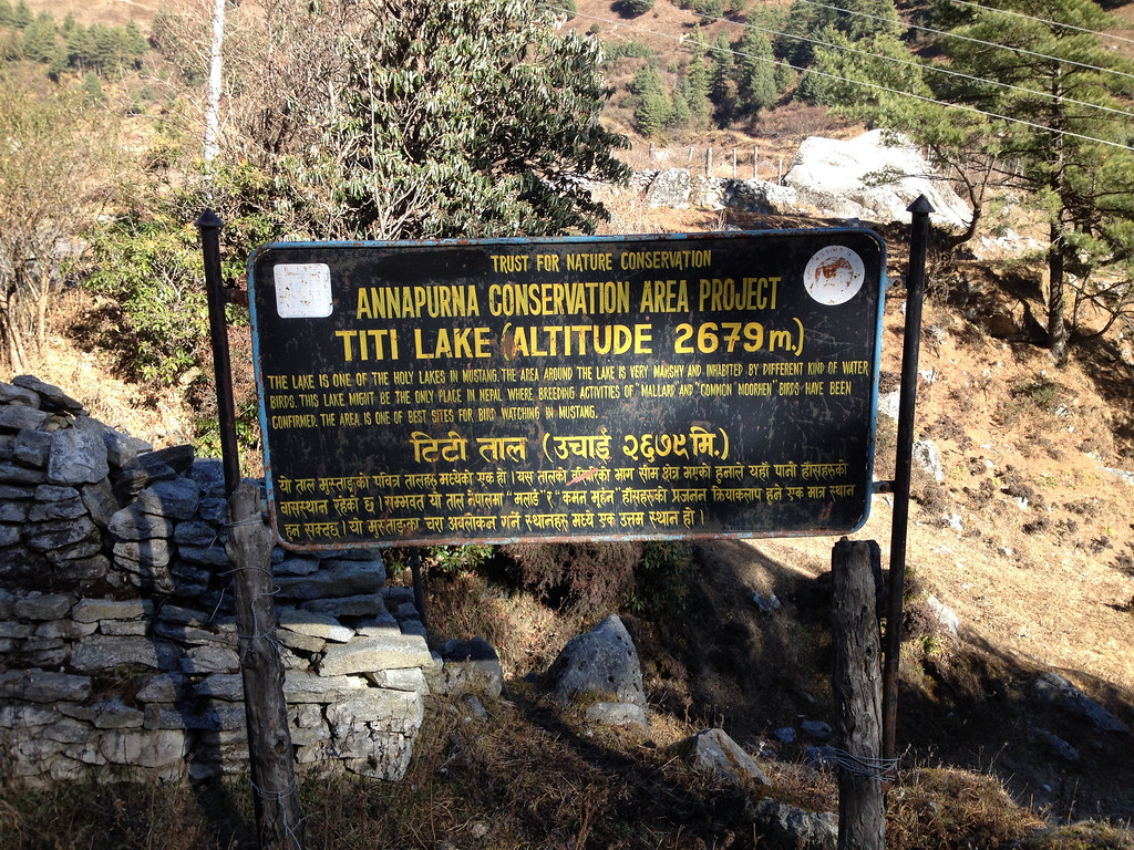
Titi
Kokhethanti
Lete
Ghasa
Larjung
Kowang
Kunjo
Tukuche Post Office
Shree Nalanda Buddhist School
Dhawalagiri
Chhairo
Marpha
Dhaulagiri
Narchyang
Tatopani
Tukuche
Tatopani Hot Spring
Tatopani Myagdi
Nilgiri Himal
Recent Searches:
- Elevation of Corso Fratelli Cairoli, 35, Macerata MC, Italy
- Elevation of Tallevast Rd, Sarasota, FL, USA
- Elevation of 4th St E, Sonoma, CA, USA
- Elevation of Black Hollow Rd, Pennsdale, PA, USA
- Elevation of Oakland Ave, Williamsport, PA, USA
- Elevation of Pedrógão Grande, Portugal
- Elevation of Klee Dr, Martinsburg, WV, USA
- Elevation of Via Roma, Pieranica CR, Italy
- Elevation of Tavkvetili Mountain, Georgia
- Elevation of Hartfords Bluff Cir, Mt Pleasant, SC, USA