Elevation map of Dhawalagiri, Nepal
Location: Nepal > Western Region >
Longitude: 83.5070203
Latitude: 28.611176
Elevation: 4009m / 13153feet
Barometric Pressure: 62KPa
Elevation Map:
Satellite Map:
Related Photos:
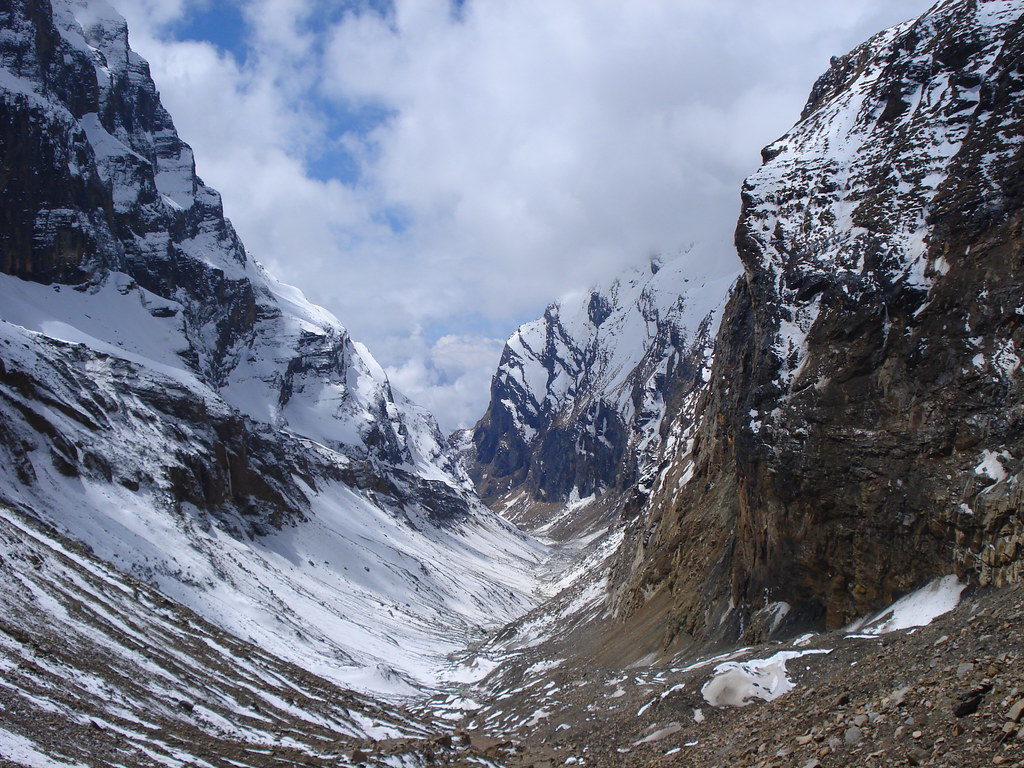
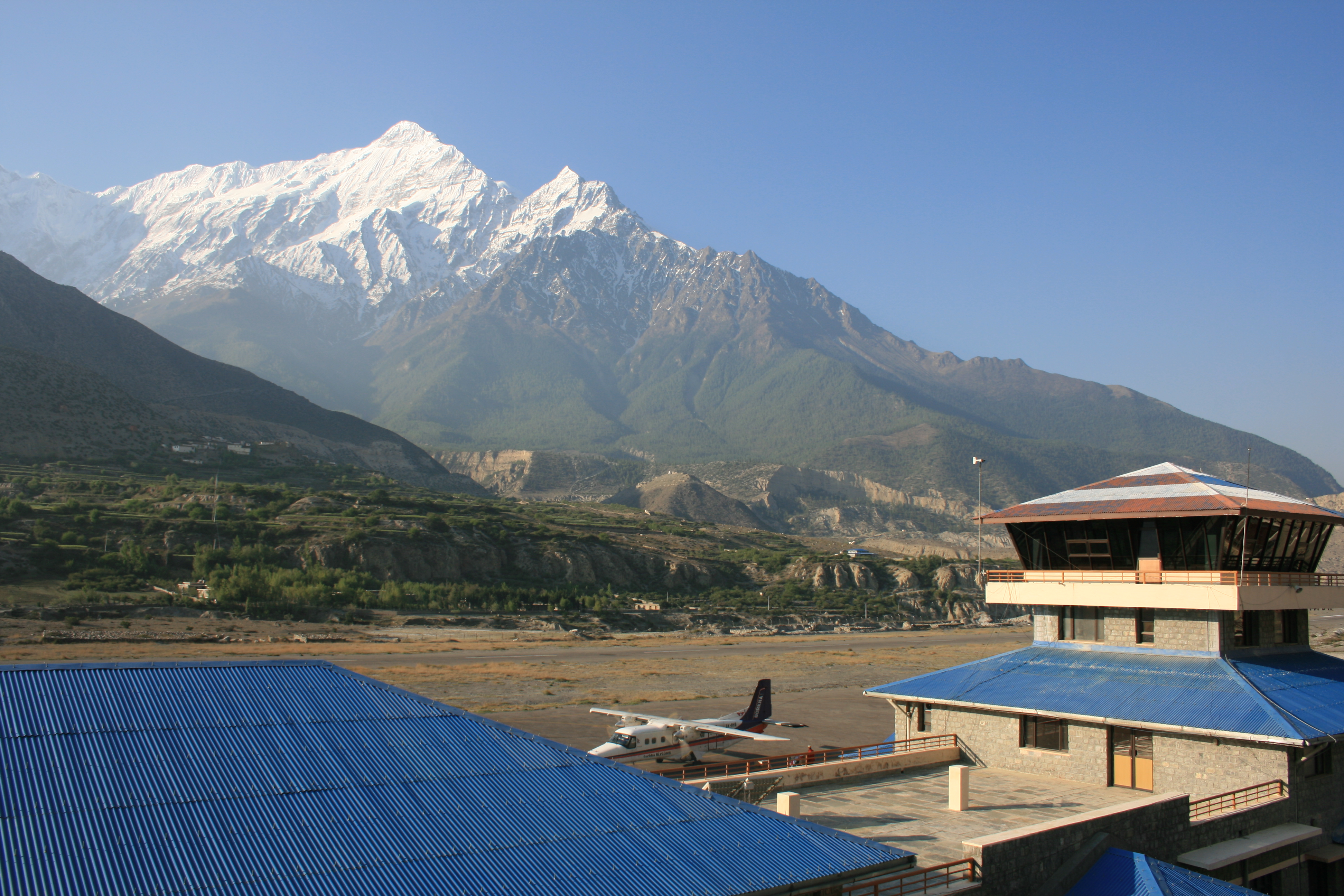
Nepal 102 Dhaulagiri Circuit
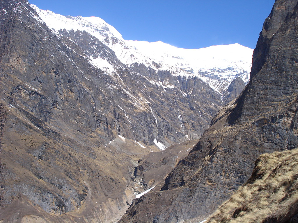
Nepal 080 Dhaulagiri Circuit
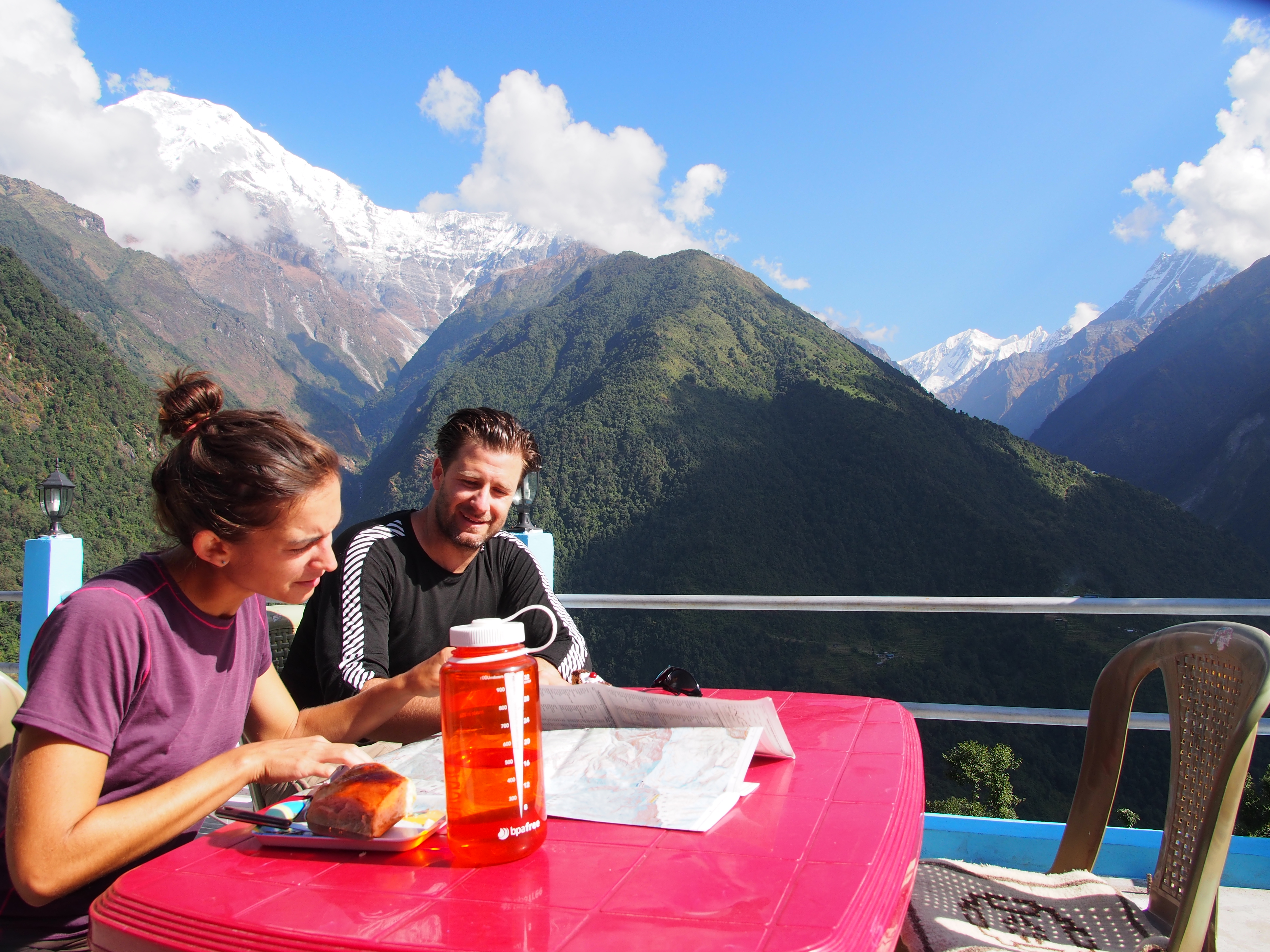
German baked goods in Chomrong
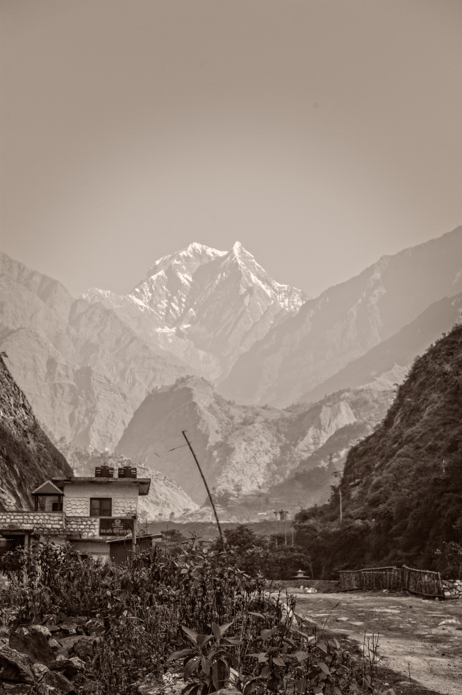
A view up the river toward the mountains from near Tatopani
The view from our window
Topographic Map of Dhawalagiri, Nepal
Find elevation by address:

Places in Dhawalagiri, Nepal:
Chhusang
Shikha
Dhami
Mudi
Muktinath
Jomsom
Surkhang
Tukuche
Lo Manthang
Narchyang
Gurja Khani
Kushma
Charang
Histan Mandali
Lete
Deupur
Mustang
Kyang
Salyan
Dhe
Kagbeni
Jharkot
Marpha
Ghode Pani
Kalopani
Baglung
Myagdi District
Tatopani
Lupra
Dhakmar
Birethanti
Chhonhup
Beni
Jhong
Chhoser
Banou
Dharamsala
Parbat
Kunjo
Ulleri
Arnakot
Tatopani Myagdi
Mallaj
Places near Dhawalagiri, Nepal:
Kowang
Dhaulagiri
Lete
Kalopani Guest House
Kalopani
Kokhethanti
Titi
Larjung
Mudi
Ghasa
Kunjo
Tatopani
Shree Nalanda Buddhist School
Tukuche Post Office
Myagdi District
Tukuche
Tatopani Myagdi
Tatopani Hot Spring
Dhaulagiri Ii
Chhairo
Recent Searches:
- Elevation of Corso Fratelli Cairoli, 35, Macerata MC, Italy
- Elevation of Tallevast Rd, Sarasota, FL, USA
- Elevation of 4th St E, Sonoma, CA, USA
- Elevation of Black Hollow Rd, Pennsdale, PA, USA
- Elevation of Oakland Ave, Williamsport, PA, USA
- Elevation of Pedrógão Grande, Portugal
- Elevation of Klee Dr, Martinsburg, WV, USA
- Elevation of Via Roma, Pieranica CR, Italy
- Elevation of Tavkvetili Mountain, Georgia
- Elevation of Hartfords Bluff Cir, Mt Pleasant, SC, USA