Elevation of Kaladar, ON K0H, Canada
Location: Canada > Ontario > Lennox And Addington County > Addington Highlands >
Longitude: -77.121419
Latitude: 44.647803
Elevation: 210m / 689feet
Barometric Pressure: 99KPa
Elevation Map:
Satellite Map:
Related Photos:

M-8 Lagoon Nebula
MILKY WAY PANORAMA

THE AURORA BOREALIS AGAINST THE BIG DIPPER AND POLARIS - SEPT 12, 2014
M31 The Andromeda Galaxy

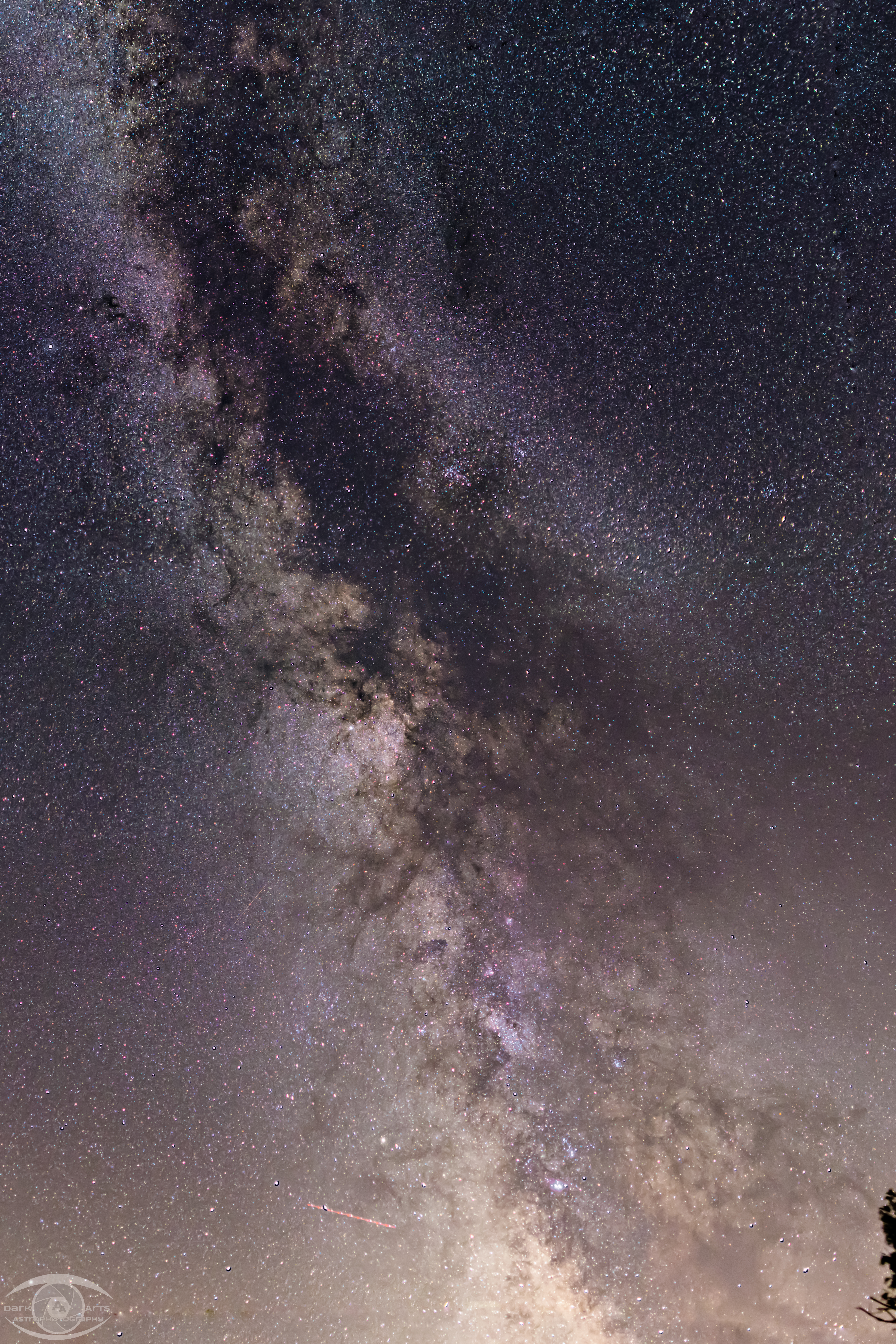
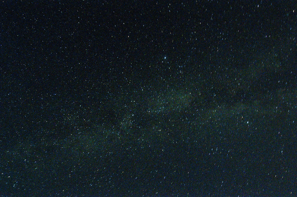
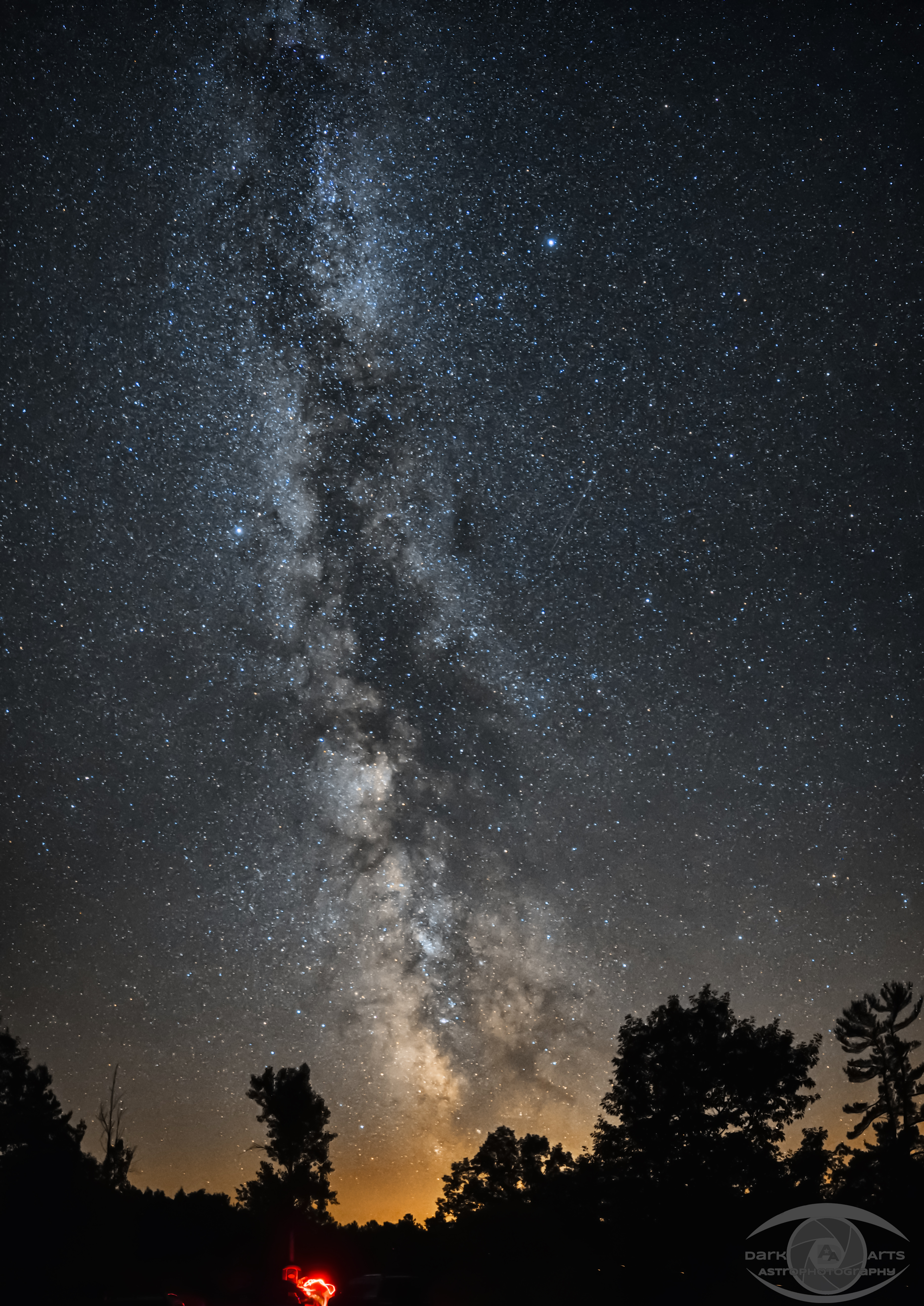
Milky Way
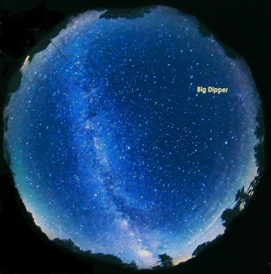
A Fish Eye View of the Sky
Road to the Milky Way
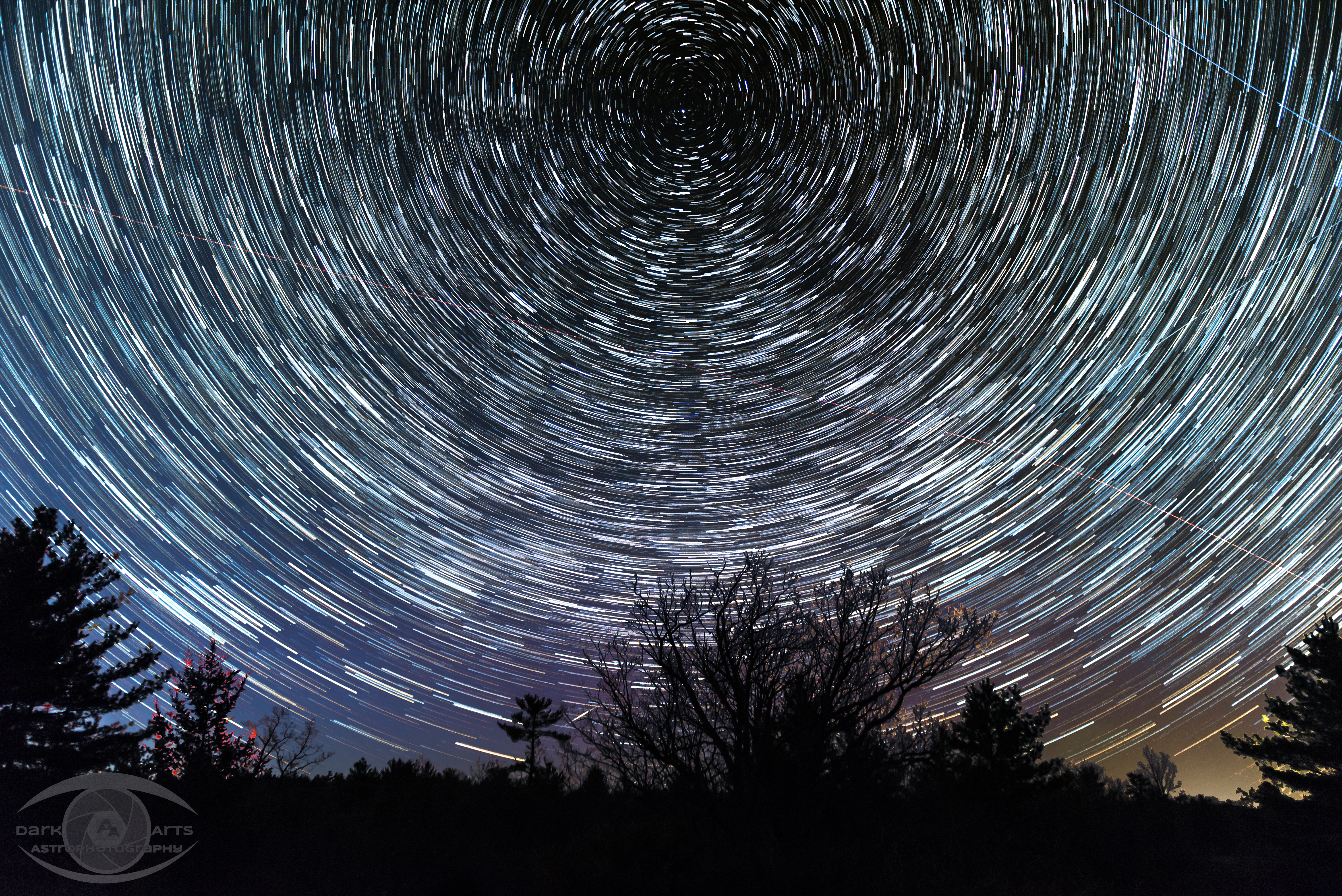
Tunnel to Infinity
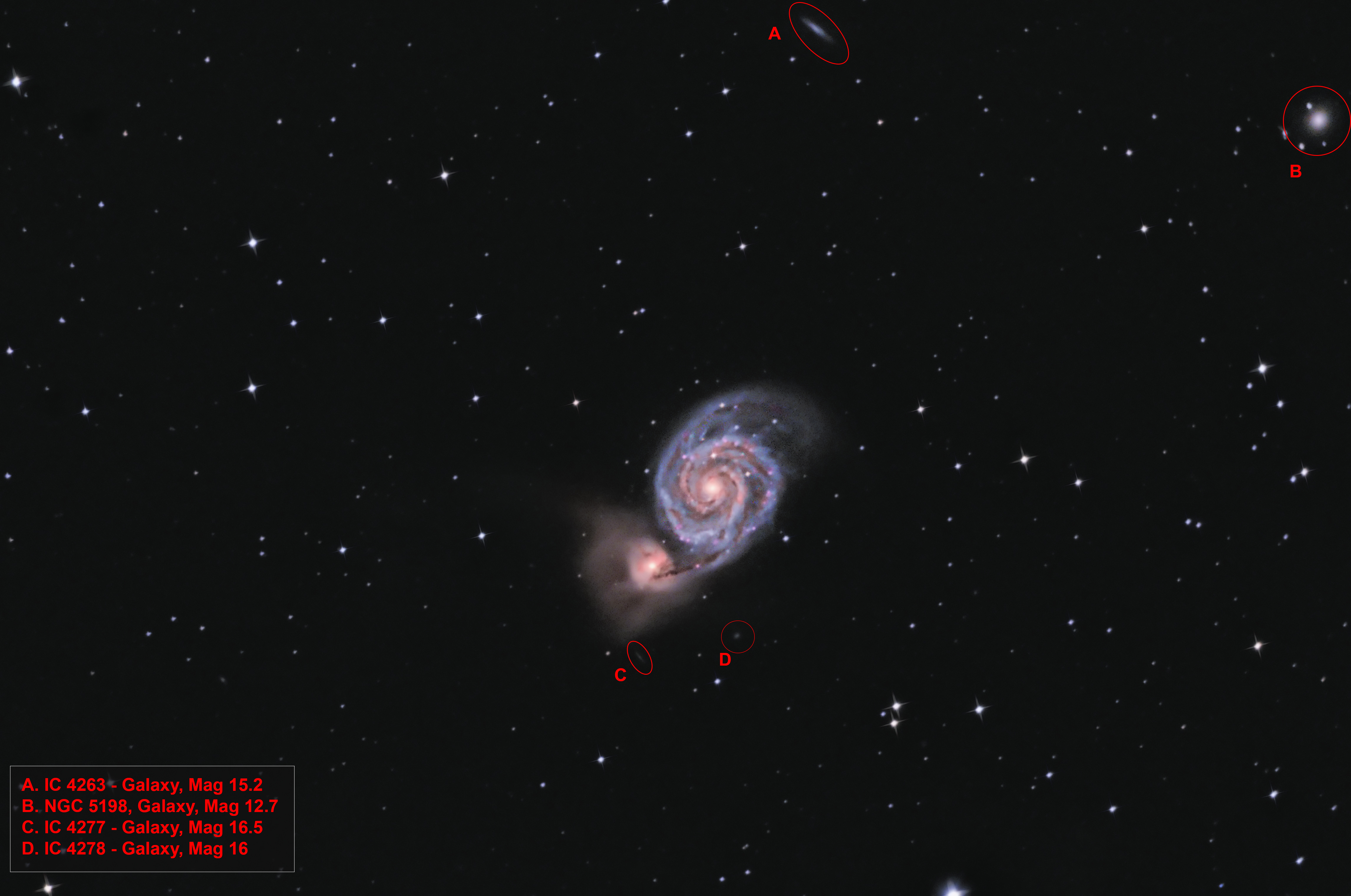
M51 Interlopers
6 panel mosaic of the Milky Way (cropped)
Night sky view

The Milky Way Rising
Clouds & Pine
Horizon to Horizon - Full Sky at the Dark Sky Viewing Area (132 Megapixel)
Dark Sky
Dark Sky Viewing Area
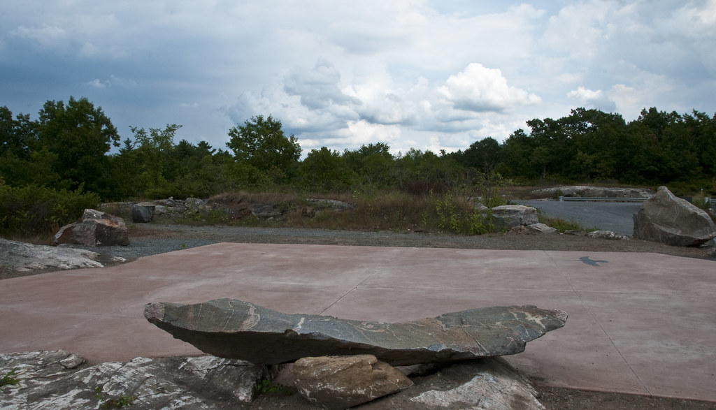
Viewing Pad
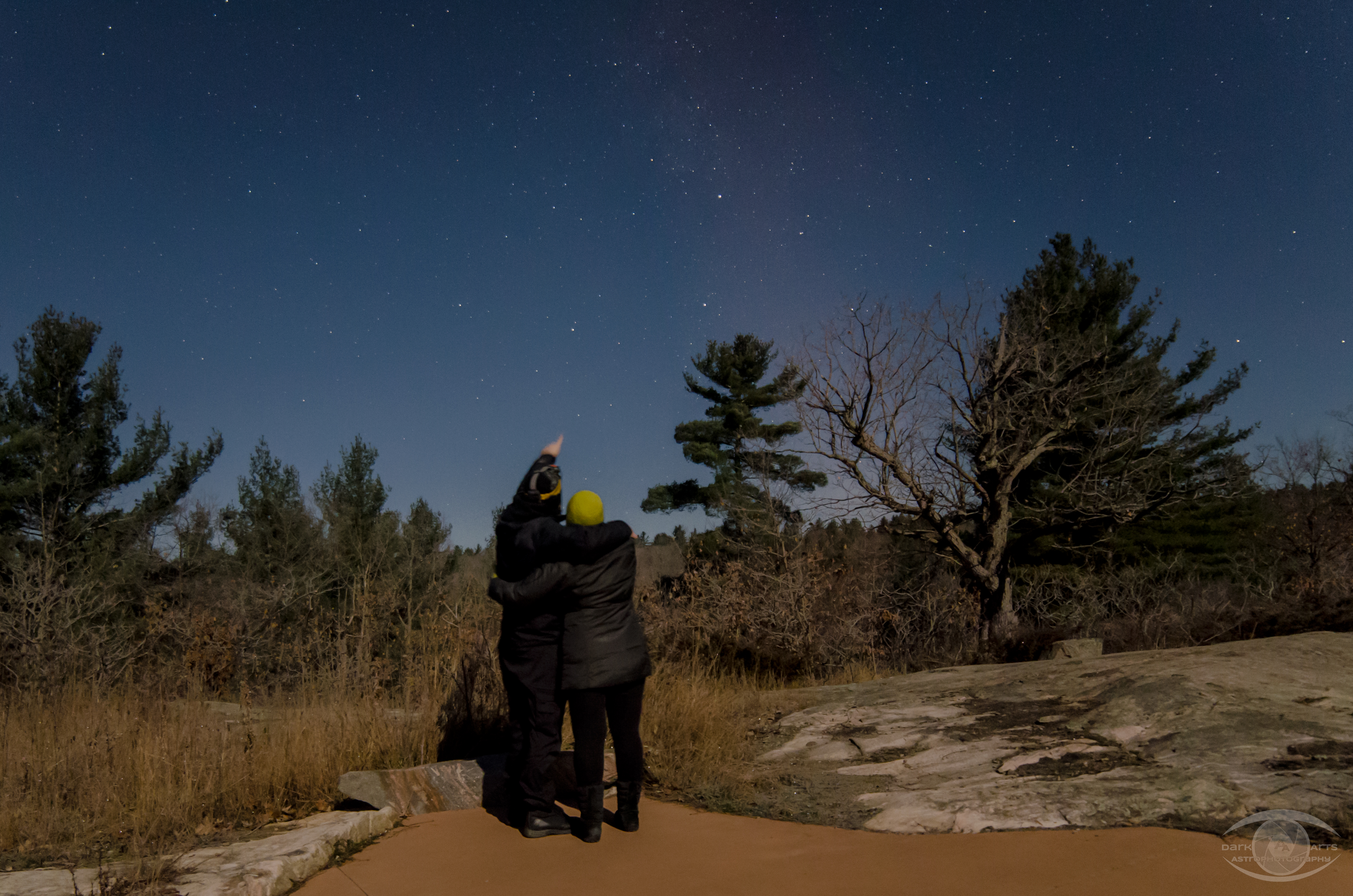
at the Dark Sky Viewing Area
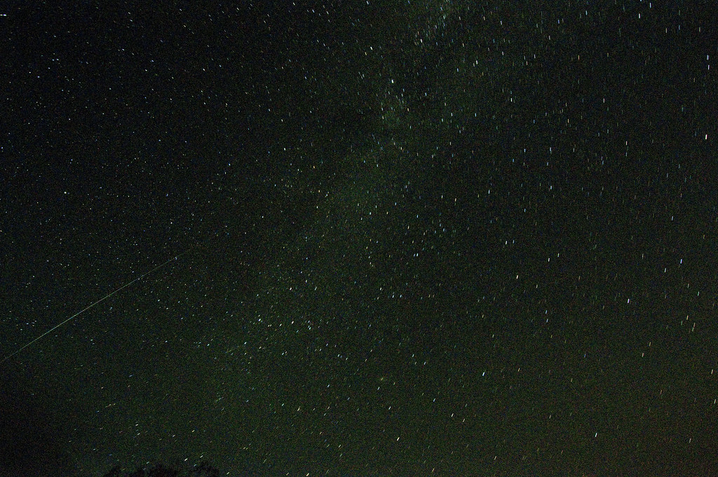
Shooting Star
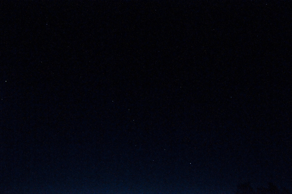
The Big Dipper(Ursa Major)

The Right Bank #2
Milky Way
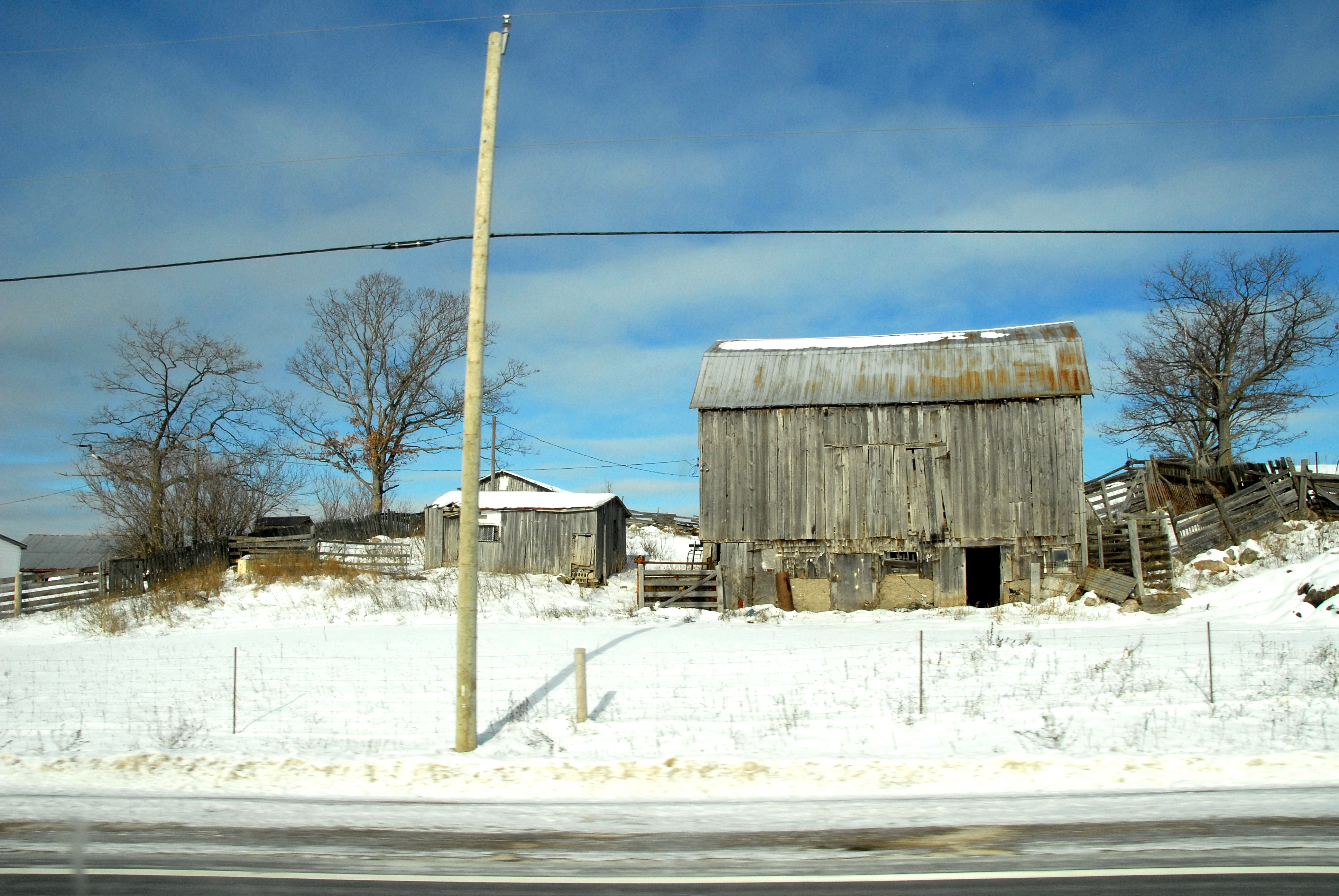
Roadside barn
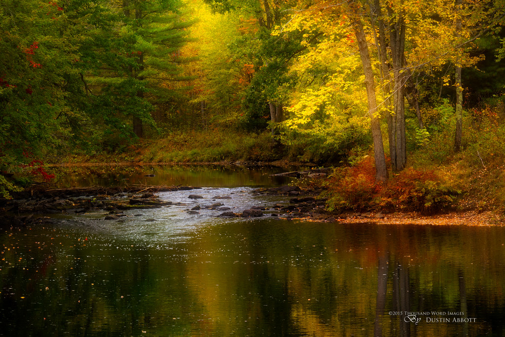
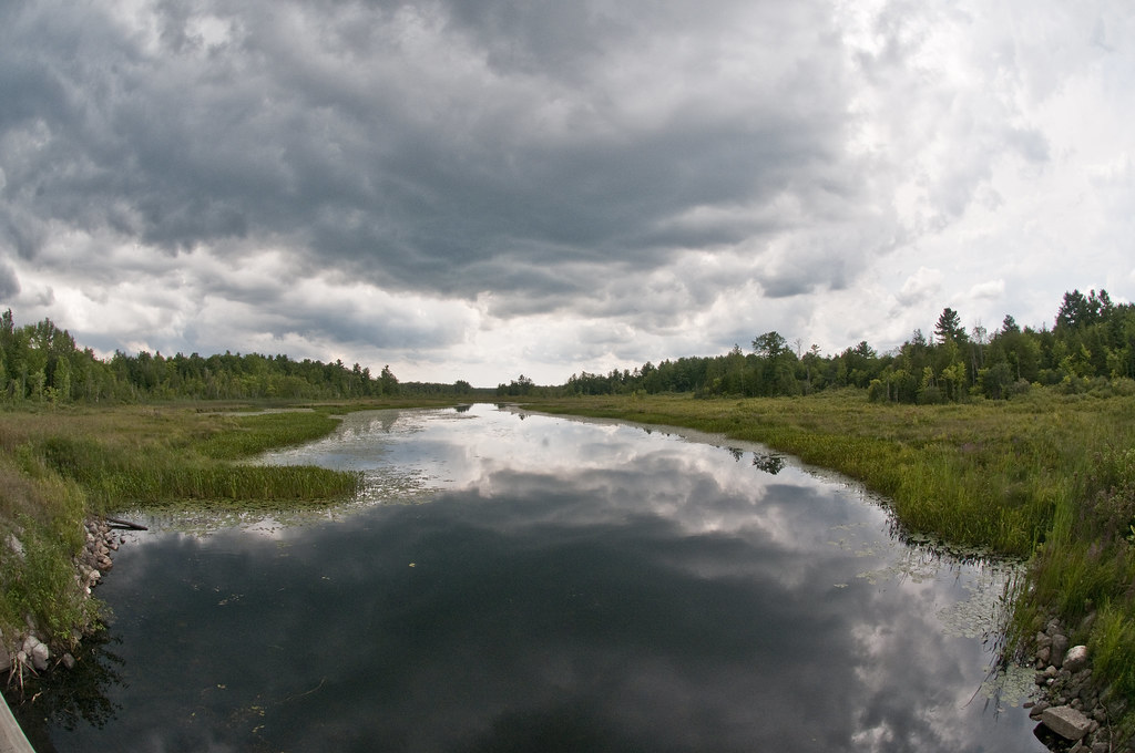
On a Creek in Flinton
Late Fall Milky Way In The Moonlight
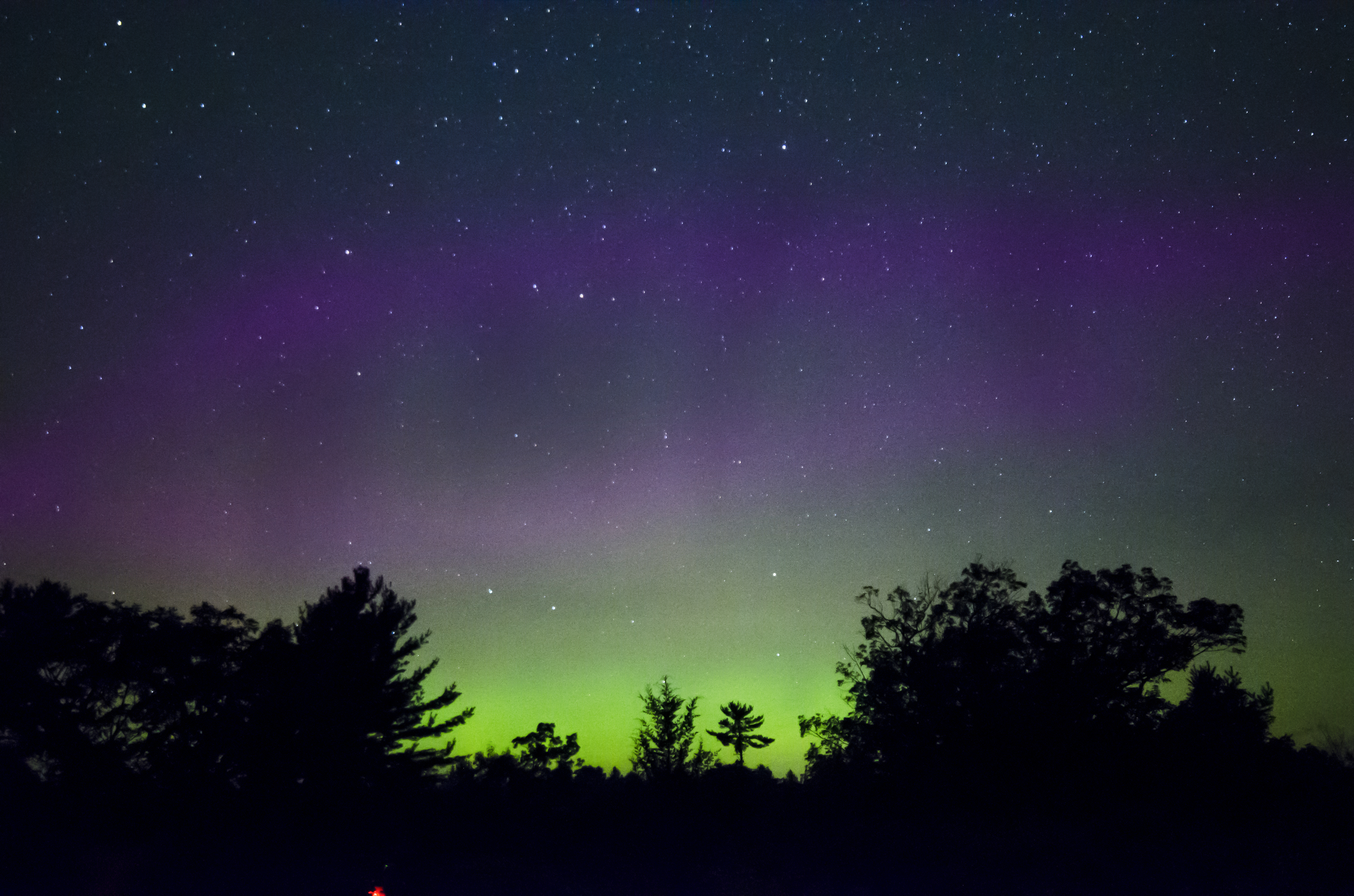
Aurora Borealis
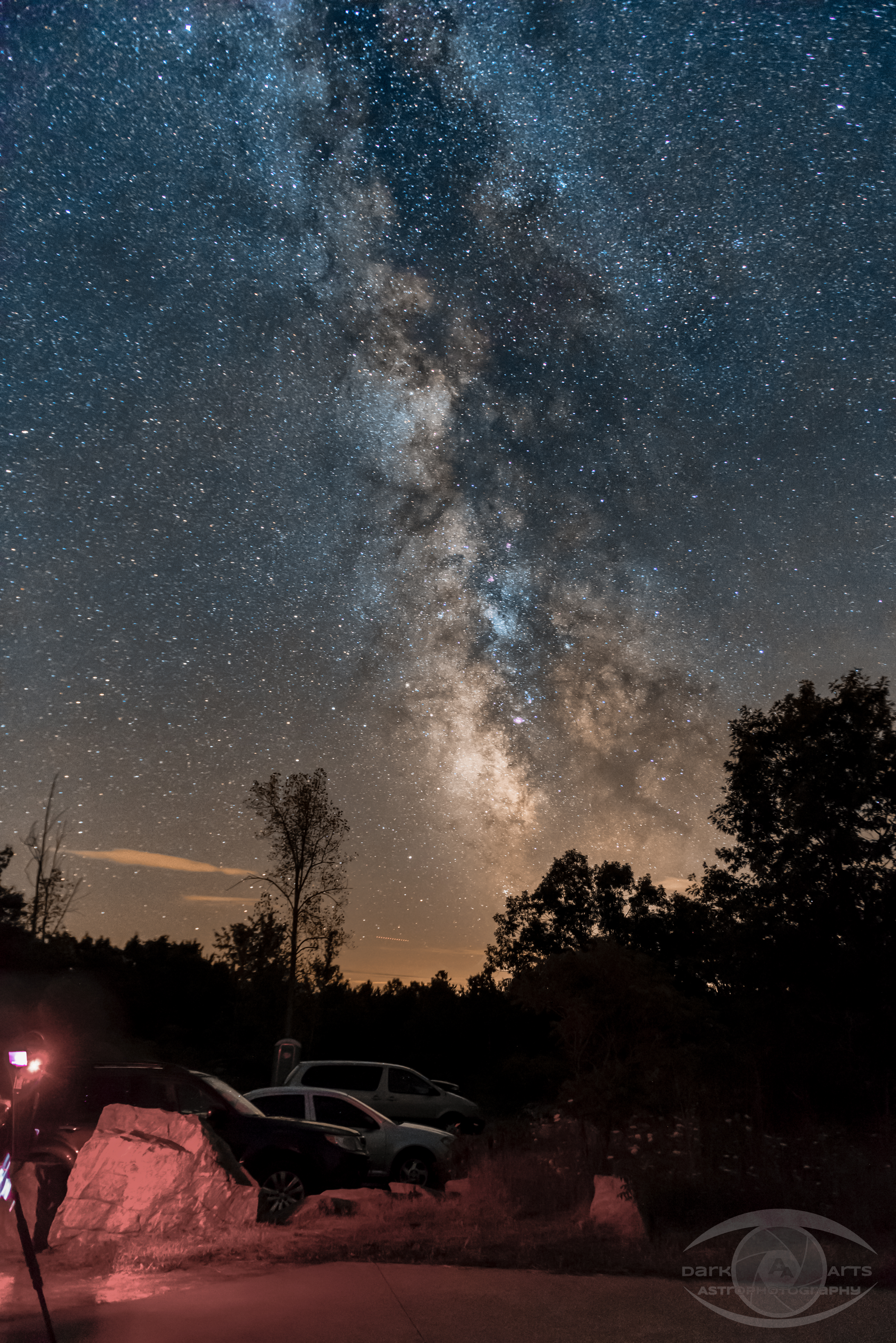
Milky Way
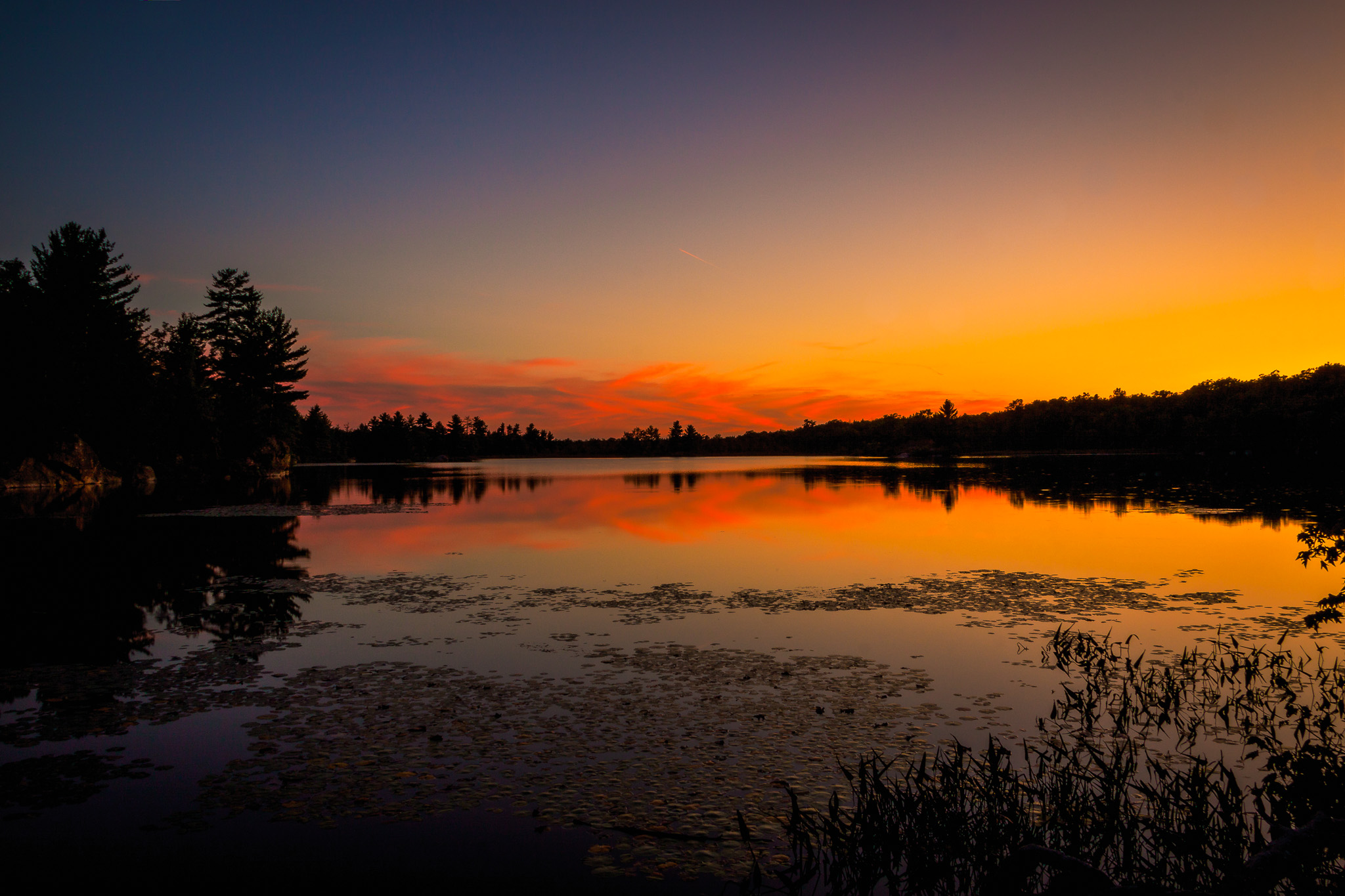
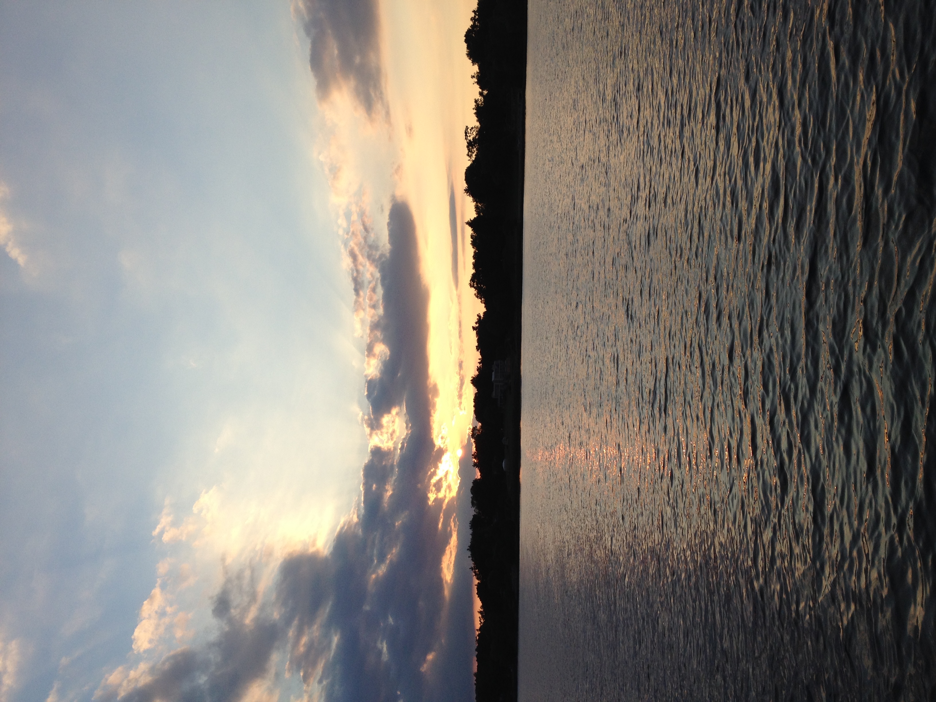
Sunset on Little Mellon
On the way home!
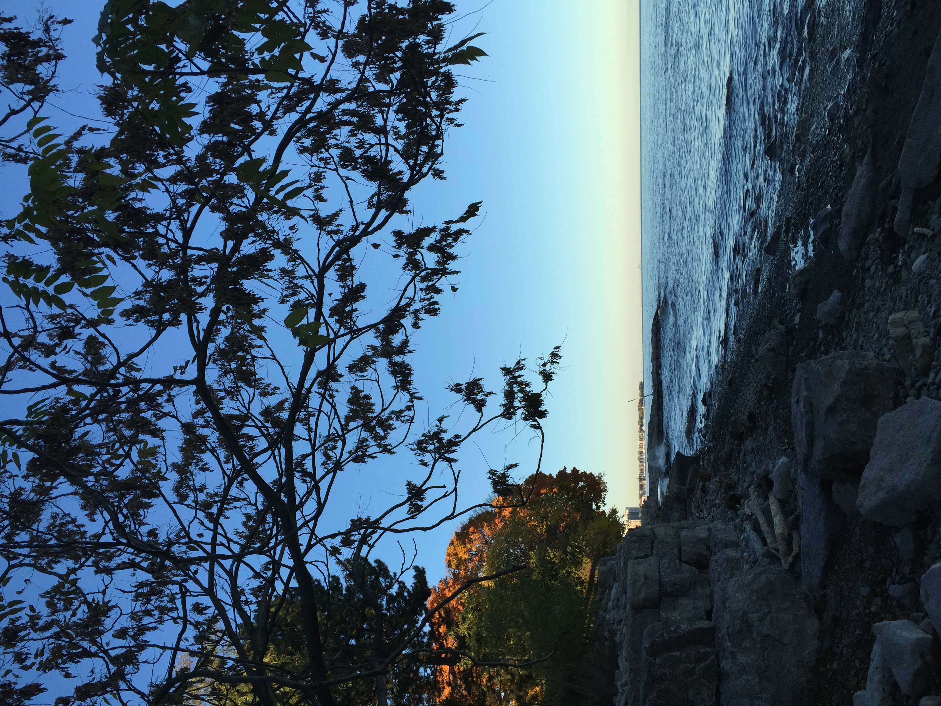
Burlington, Ontario
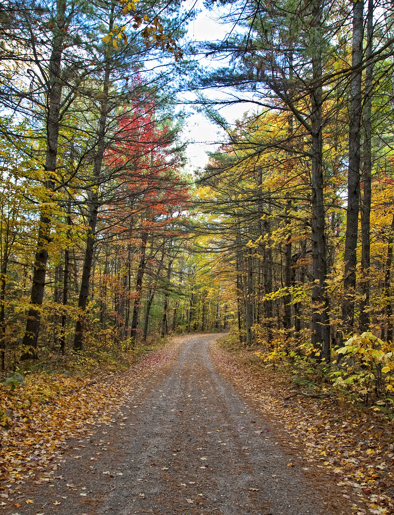
Country Lane
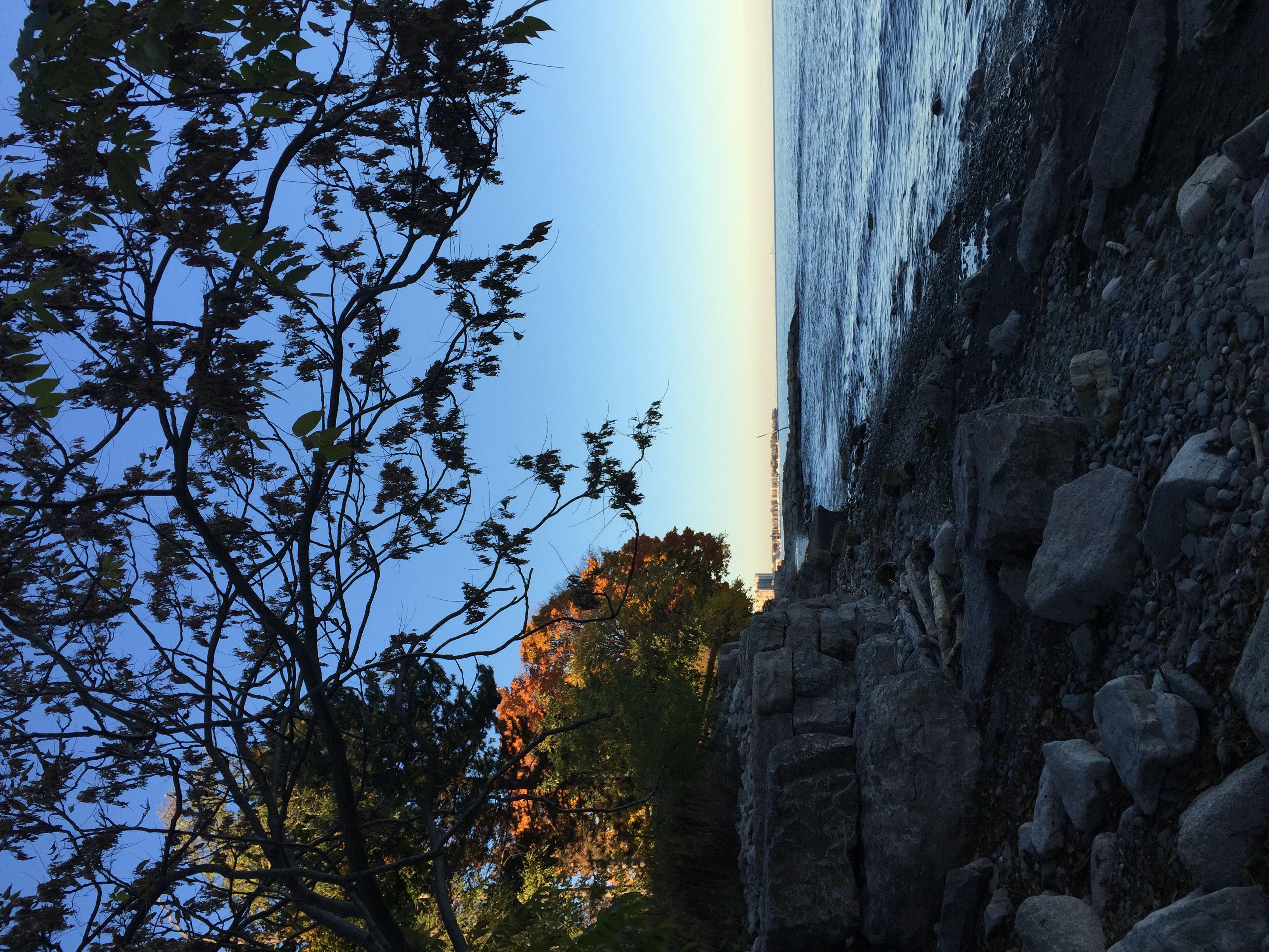
Burlington, Ontario

Beaver on Little Melon Lake
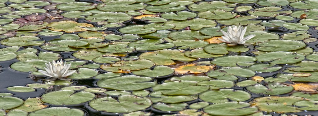
Water Lillies
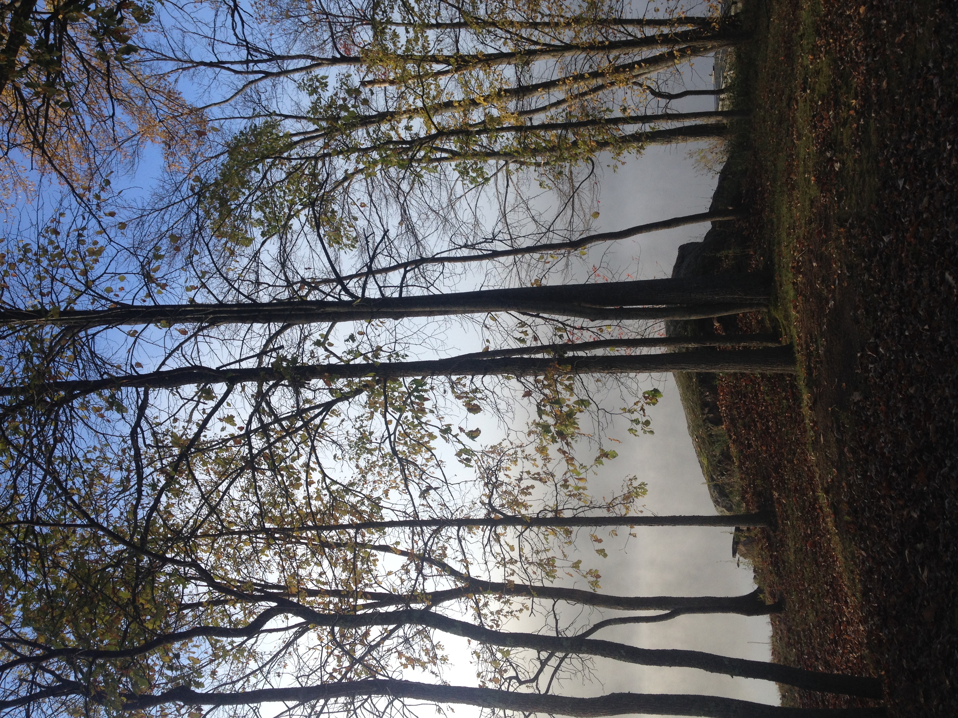
Fog on Kennebec Lake

Melon Creek(on Hwy 41)
Oakville, Ontario
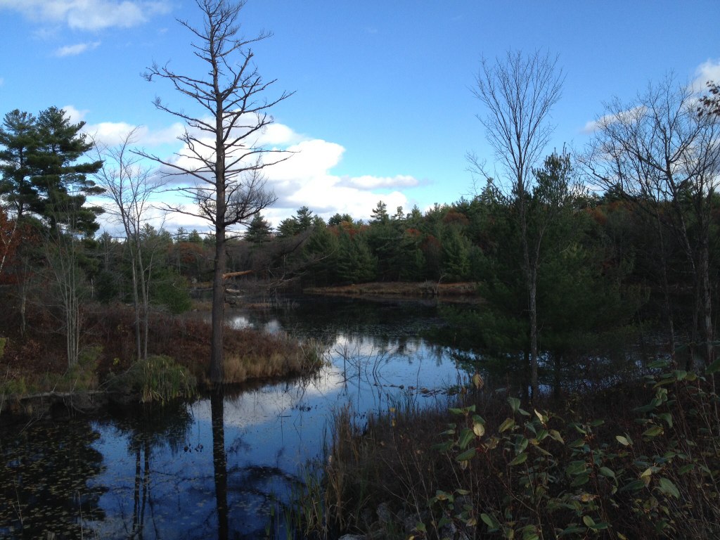
Spring hike at Sheffield Conservation Area
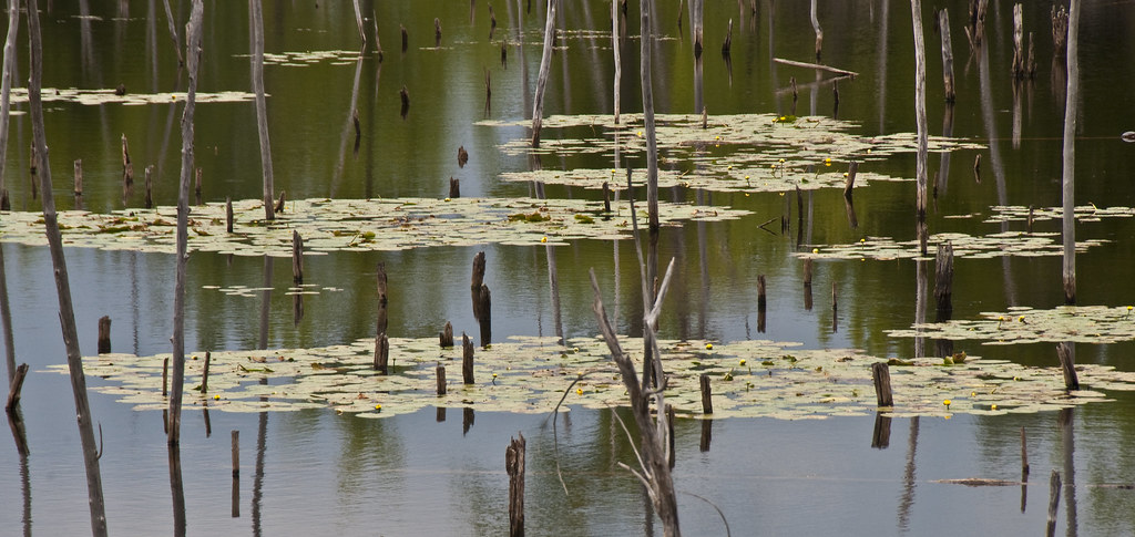
Lily Pad Colonies
Clare River
Topographic Map of Kaladar, ON K0H, Canada
Find elevation by address:

Places in Kaladar, ON K0H, Canada:
Places near Kaladar, ON K0H, Canada:
K0h 2g0
K0h 1z0
11781 On-41
Flinton Rd, Flinton, ON K0H 1P0, Canada
Northbrook
1911 Upper Flinton Rd
Flinton
3185 Upper Flinton Rd
Bordenwood Road
Fishermans Cove
2014 Flinton Rd
Henderson Rd, Arden, ON K0H 1B0, Canada
13663 On-41
4251 Arden Rd
1117 Beaver Creek Ln
Cloyne
Bordenwood Road & Henderson Road
Gaylord Road
2120 Kashwakamak Lake Rd
1150 Henderson Rd
Recent Searches:
- Elevation of Corso Fratelli Cairoli, 35, Macerata MC, Italy
- Elevation of Tallevast Rd, Sarasota, FL, USA
- Elevation of 4th St E, Sonoma, CA, USA
- Elevation of Black Hollow Rd, Pennsdale, PA, USA
- Elevation of Oakland Ave, Williamsport, PA, USA
- Elevation of Pedrógão Grande, Portugal
- Elevation of Klee Dr, Martinsburg, WV, USA
- Elevation of Via Roma, Pieranica CR, Italy
- Elevation of Tavkvetili Mountain, Georgia
- Elevation of Hartfords Bluff Cir, Mt Pleasant, SC, USA