Elevation of Flinton Rd, Flinton, ON K0H 1P0, Canada
Location: Canada > Ontario > Lennox And Addington County > Addington Highlands > Flinton >
Longitude: -77.206485
Latitude: 44.6913774
Elevation: 254m / 833feet
Barometric Pressure: 98KPa
Elevation Map:
Satellite Map:
Related Photos:
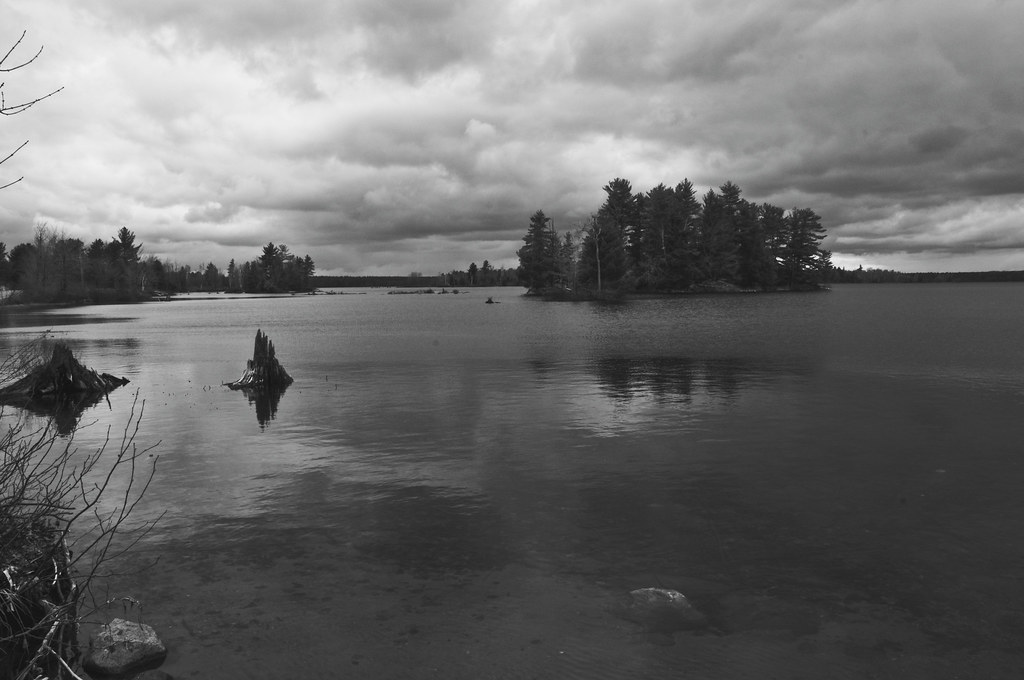
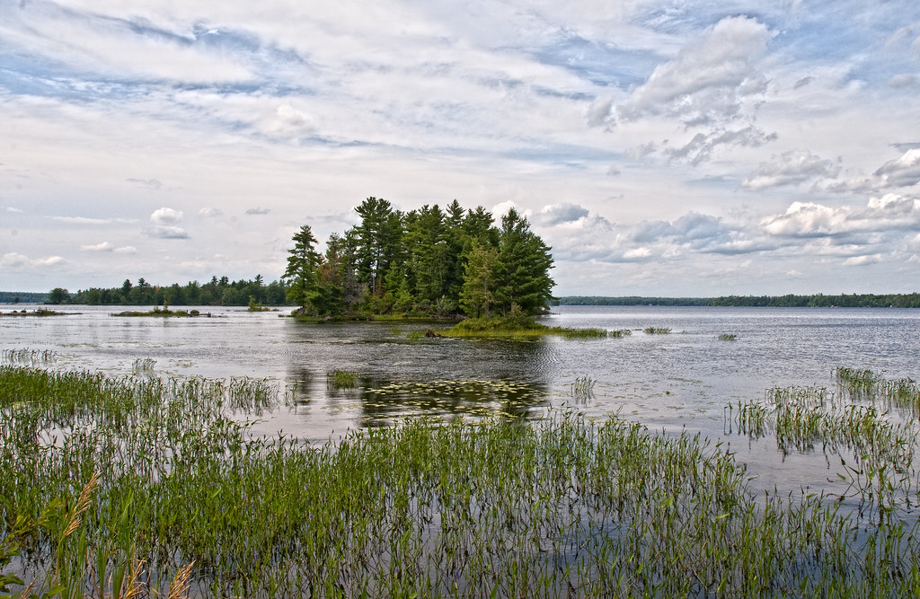
Lake Skootamatta
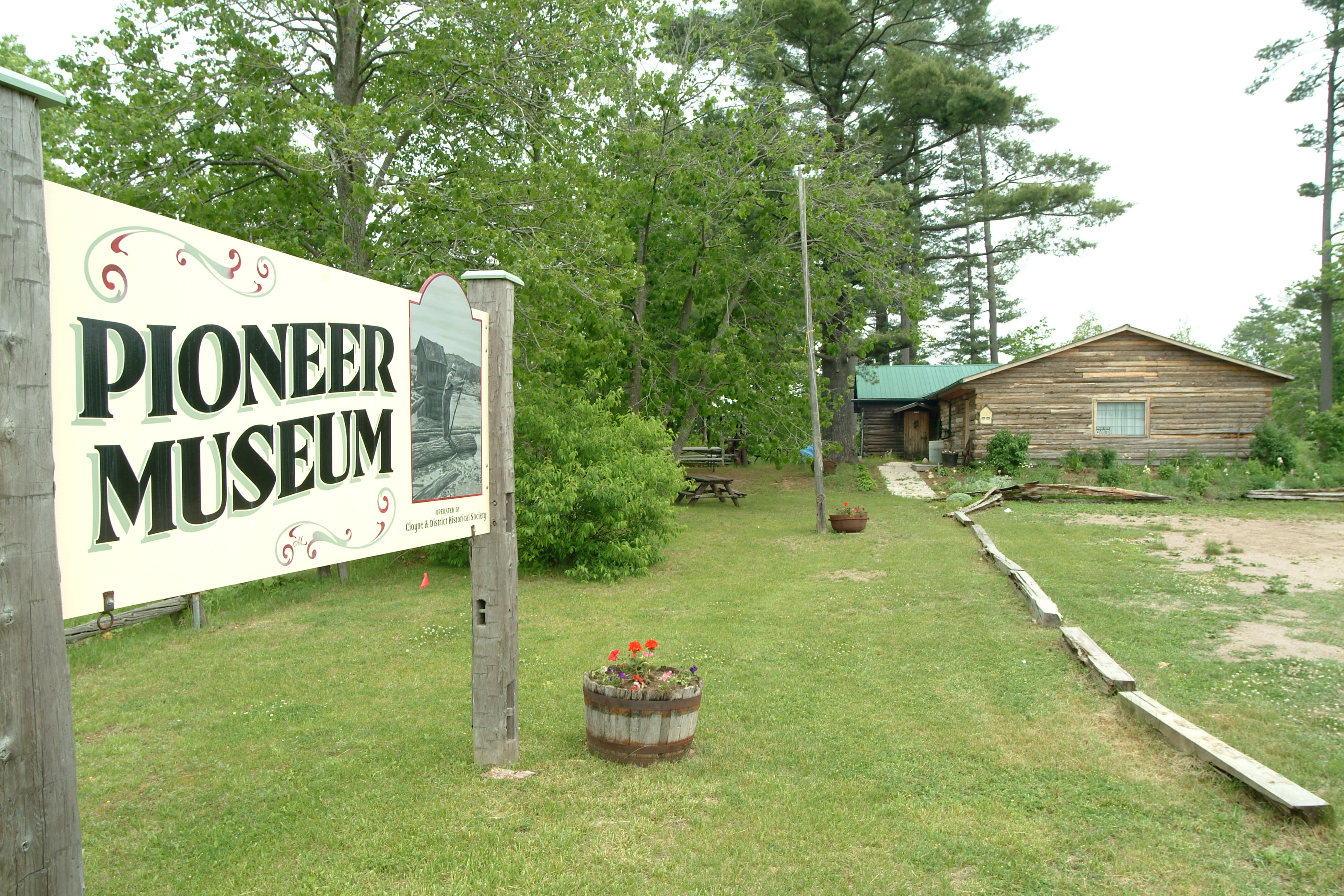
Pioneer Museum Cloyne
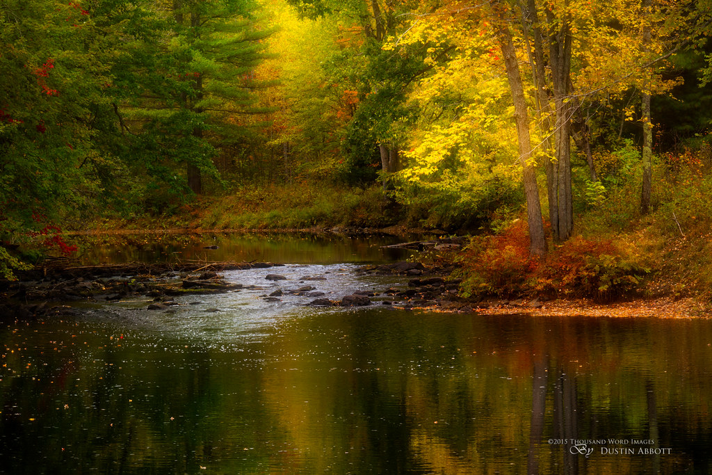
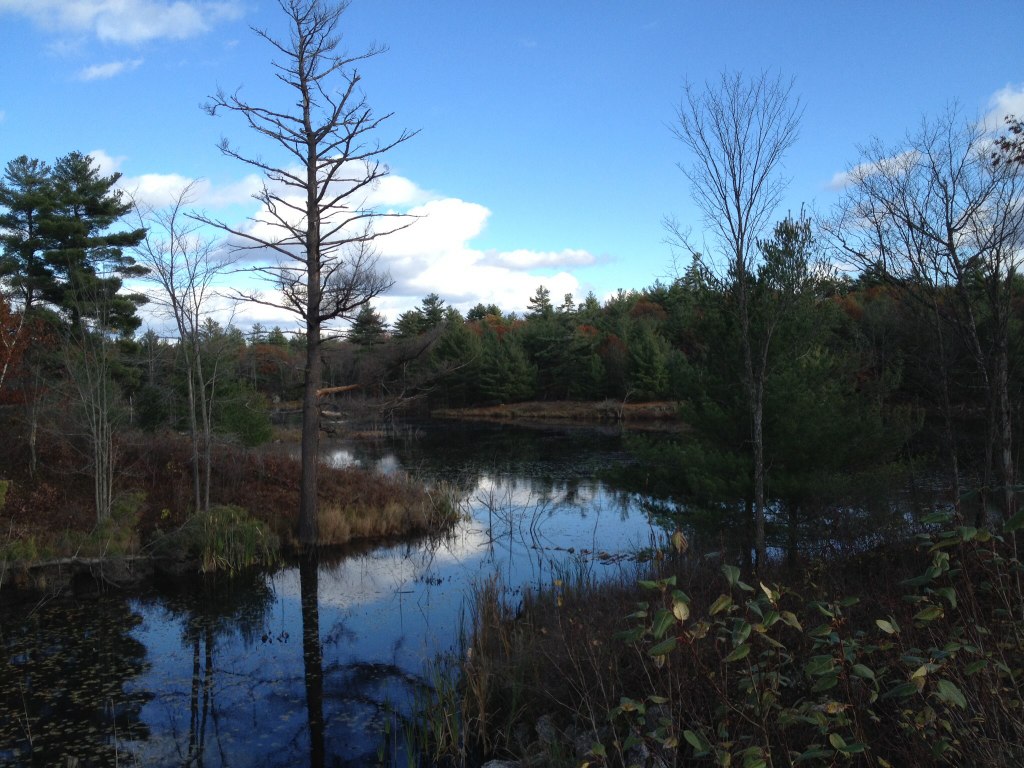
On a Creek in Flinton
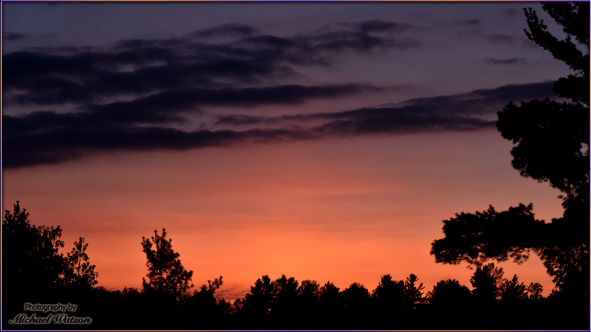
2015 May 16 ~ Orange sky, evening twilight
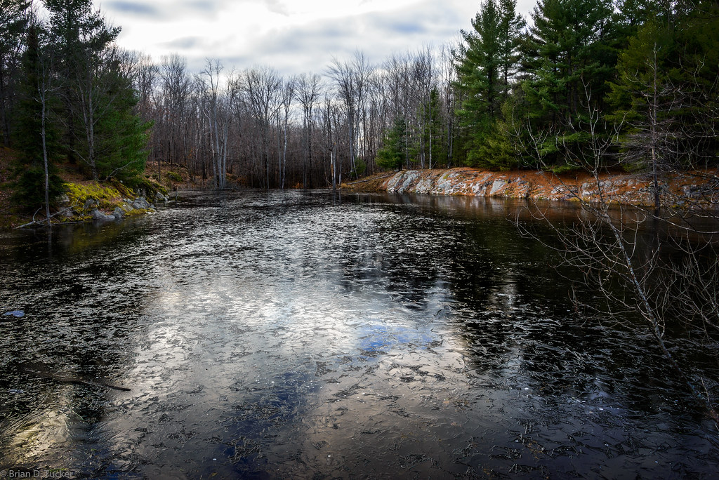
icing over
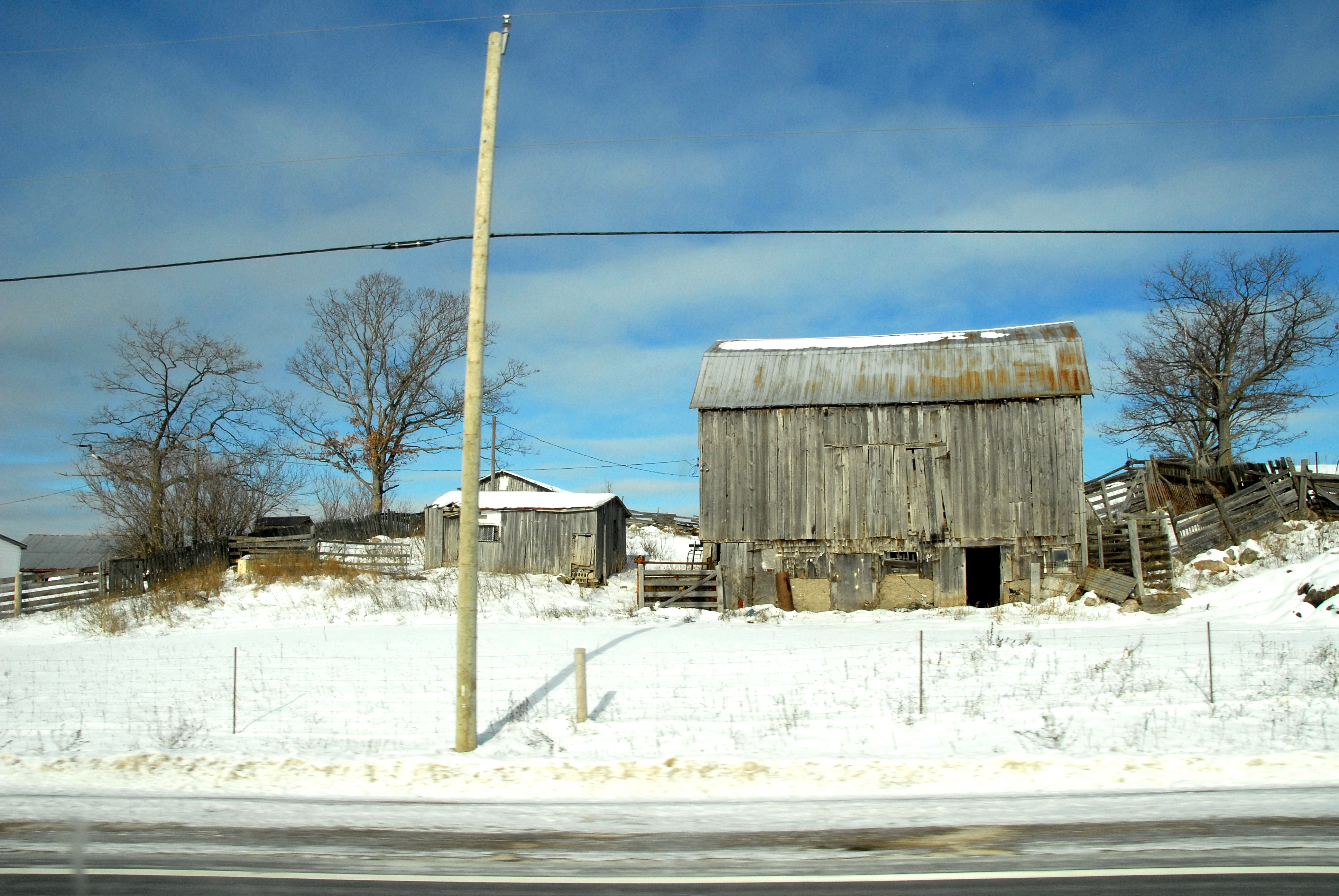
Roadside barn
On the way home!
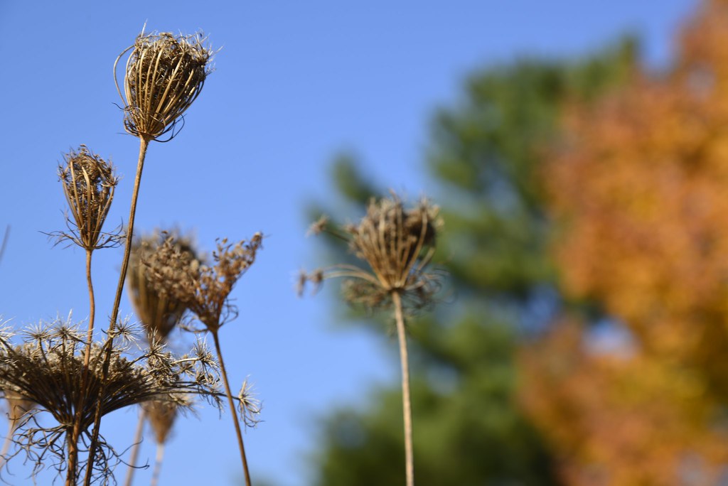
Looking upwards to autumn
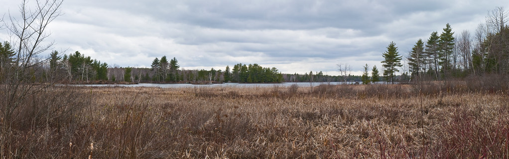
Skootamatta Lake
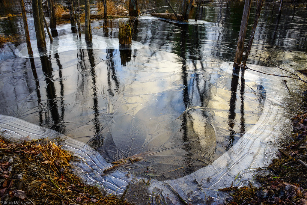
beaver engineering. ice art. sky reflections. sunset
Lake Skootamatta
Topographic Map of Flinton Rd, Flinton, ON K0H 1P0, Canada
Find elevation by address:

Places near Flinton Rd, Flinton, ON K0H 1P0, Canada:
Flinton
1911 Upper Flinton Rd
11781 On-41
Northbrook
3185 Upper Flinton Rd
K0h 2g0
2014 Flinton Rd
Kaladar
K0h 1z0
13663 On-41
Cloyne
Henderson Rd, Arden, ON K0H 1B0, Canada
5 Forbes Rd
1205 Head Rd
Bordenwood Road
Skootamatta Lane
2120 Kashwakamak Lake Rd
Bon Echo Provincial Park
372 Courneya Rd
Fishermans Cove
Recent Searches:
- Elevation of Corso Fratelli Cairoli, 35, Macerata MC, Italy
- Elevation of Tallevast Rd, Sarasota, FL, USA
- Elevation of 4th St E, Sonoma, CA, USA
- Elevation of Black Hollow Rd, Pennsdale, PA, USA
- Elevation of Oakland Ave, Williamsport, PA, USA
- Elevation of Pedrógão Grande, Portugal
- Elevation of Klee Dr, Martinsburg, WV, USA
- Elevation of Via Roma, Pieranica CR, Italy
- Elevation of Tavkvetili Mountain, Georgia
- Elevation of Hartfords Bluff Cir, Mt Pleasant, SC, USA