Elevation of Kalōpā, Hawaii, USA
Location: United States > Hawaii > Hawaii County > Paauhau >
Longitude: -155.41333
Latitude: 20.0802778
Elevation: 1m / 3feet
Barometric Pressure: 101KPa
Elevation Map:
Satellite Map:
Related Photos:

Dancing In The Street

She Dared Me

Eli Higa

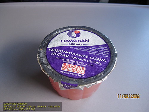
My Hawaiian home

I Could Really Use A Pepsi

Pop Fly - A Ball's Eye View

Good Morning

View of House From Up Above
HW4542IMG_1796.JPG

PFX Field Tour of Puu Waa Waa_2_25_17_HWMO Credit_25_View of makai area

HW7692IMG_3551.JPG

Green meets Blue
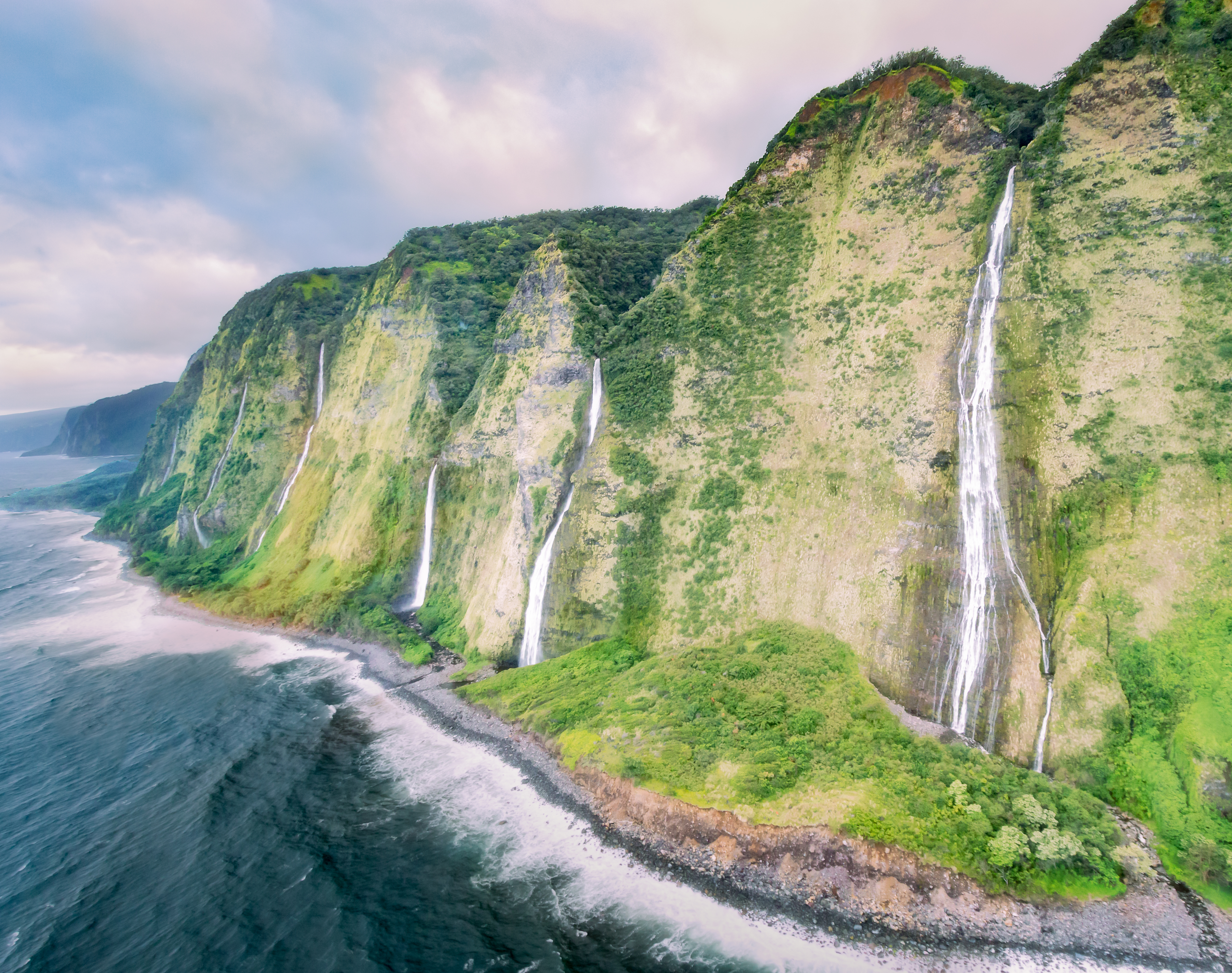
Dreaming of dramatic landscapes

Clouds over the Hamakua coast

Clouds over the Hamakua coast - II

Big Island forest

Hiding in Plain Sight

Through the trees

The Milky Way in Hilo,Hawaii

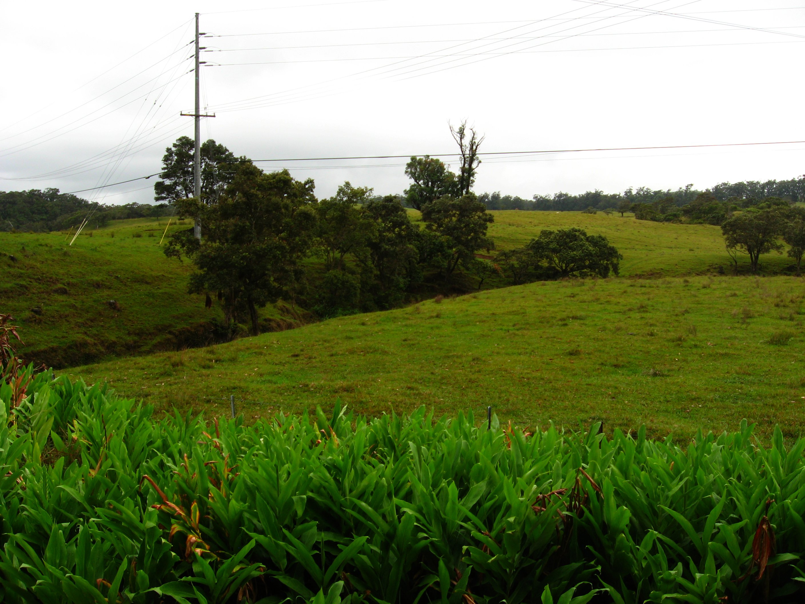
Kalopa Park

Sphenomeris chinensis fronds

Kalopa Park

Dreaming of dramatic landscapes (2)

Forest on State Route 19, near Honoka'a, Hawaii
State Route 19 Between Waimea and Honoka'a, Hawaii

Honokaʻa Paʻauilo and The Hamakua Forest Reserve
State Route 19 Between Waimea and Honoka'a, Hawaii

State Route 19 Between Waimea and Honoka'a, Hawaii

Parker Ranch Cows

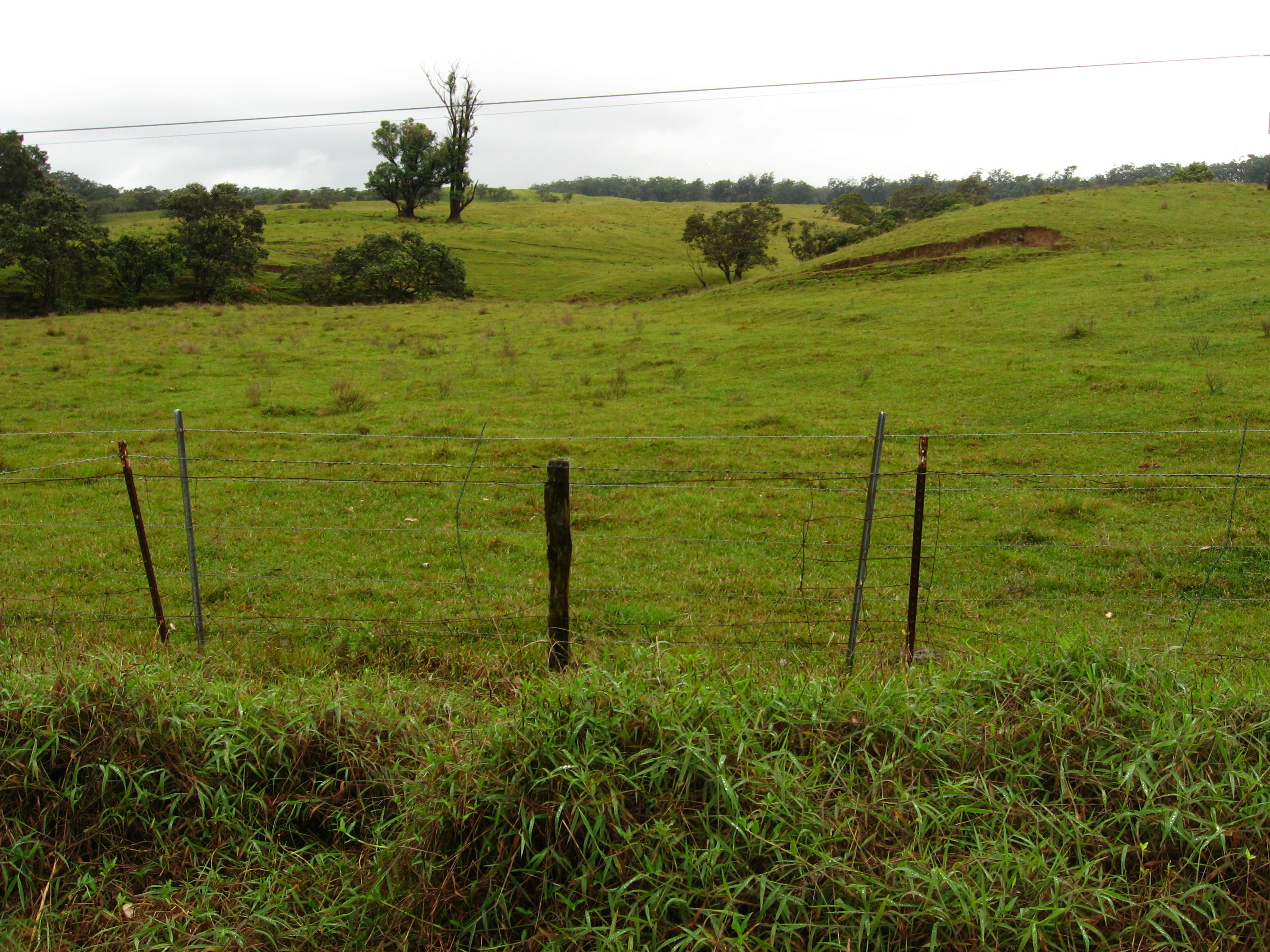
Kalopa Park
Kalopa Park

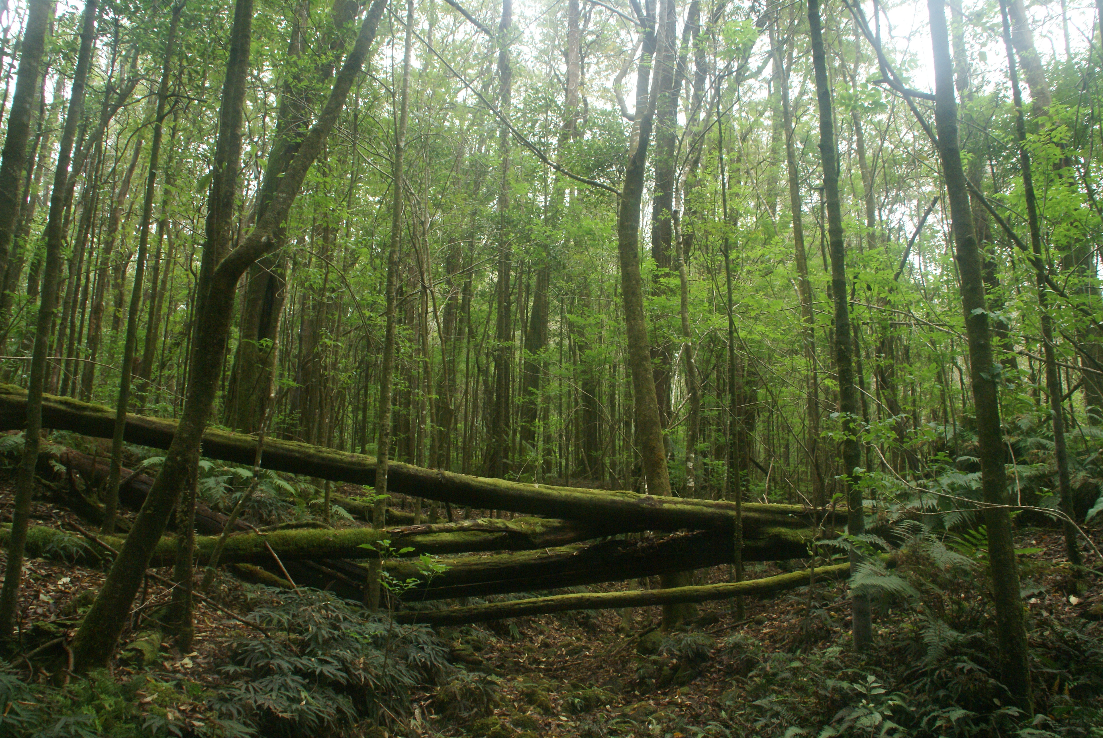
Kalopa Park Nature Trail
Topographic Map of Kalōpā, Hawaii, USA
Find elevation by address:

Places near Kalōpā, Hawaii, USA:
44-243 Hoolauae St
44-120
Paauhau
44-2585 Kalaniai Rd
44-2633 Kalopa Mauka Rd
44-2610 Kalopa Mauka Rd
44-2756 Kalaniai Rd
44-2756 Kalopa Mauka Rd
44-2885 Kalopa Mauka Rd
44-3011 Kalaniai Rd
44-3118 Ho'o Kahua Rd
44-3176 Ho'o Kahua Rd
44-3176 Ho'o Kahua Rd
44-3180 Ho'o Kahua Rd
44-3180 Ho'o Kahua Rd
44-3180 Ho'o Kahua Rd
44-3182 Ho'o Kahua Rd
44-3348 Kalaniai Rd
44-3450 Kalaniai Rd
45-3279 Mamane St
Recent Searches:
- Elevation of Corso Fratelli Cairoli, 35, Macerata MC, Italy
- Elevation of Tallevast Rd, Sarasota, FL, USA
- Elevation of 4th St E, Sonoma, CA, USA
- Elevation of Black Hollow Rd, Pennsdale, PA, USA
- Elevation of Oakland Ave, Williamsport, PA, USA
- Elevation of Pedrógão Grande, Portugal
- Elevation of Klee Dr, Martinsburg, WV, USA
- Elevation of Via Roma, Pieranica CR, Italy
- Elevation of Tavkvetili Mountain, Georgia
- Elevation of Hartfords Bluff Cir, Mt Pleasant, SC, USA