Elevation of Kaibab Plateau HP, Arizona, USA
Location: United States > Flagstaff >
Longitude: -112.15055
Latitude: 36.3963888
Elevation: 2806m / 9206feet
Barometric Pressure: 72KPa
Elevation Map:
Satellite Map:
Related Photos:
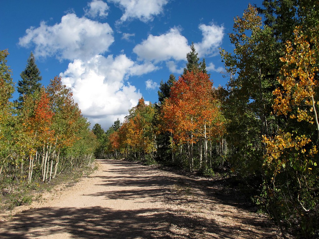
Autumn Road
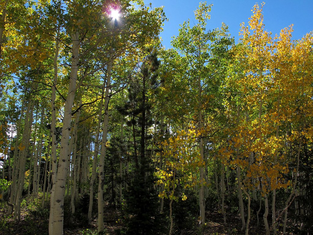
Autumn Fashions
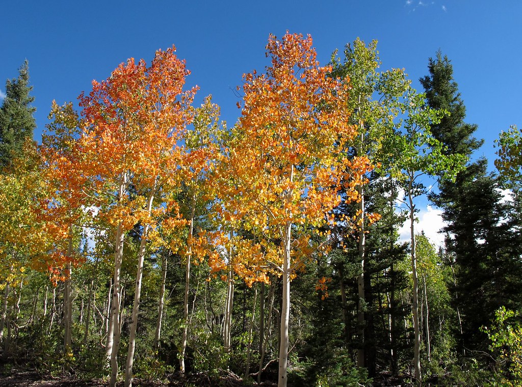
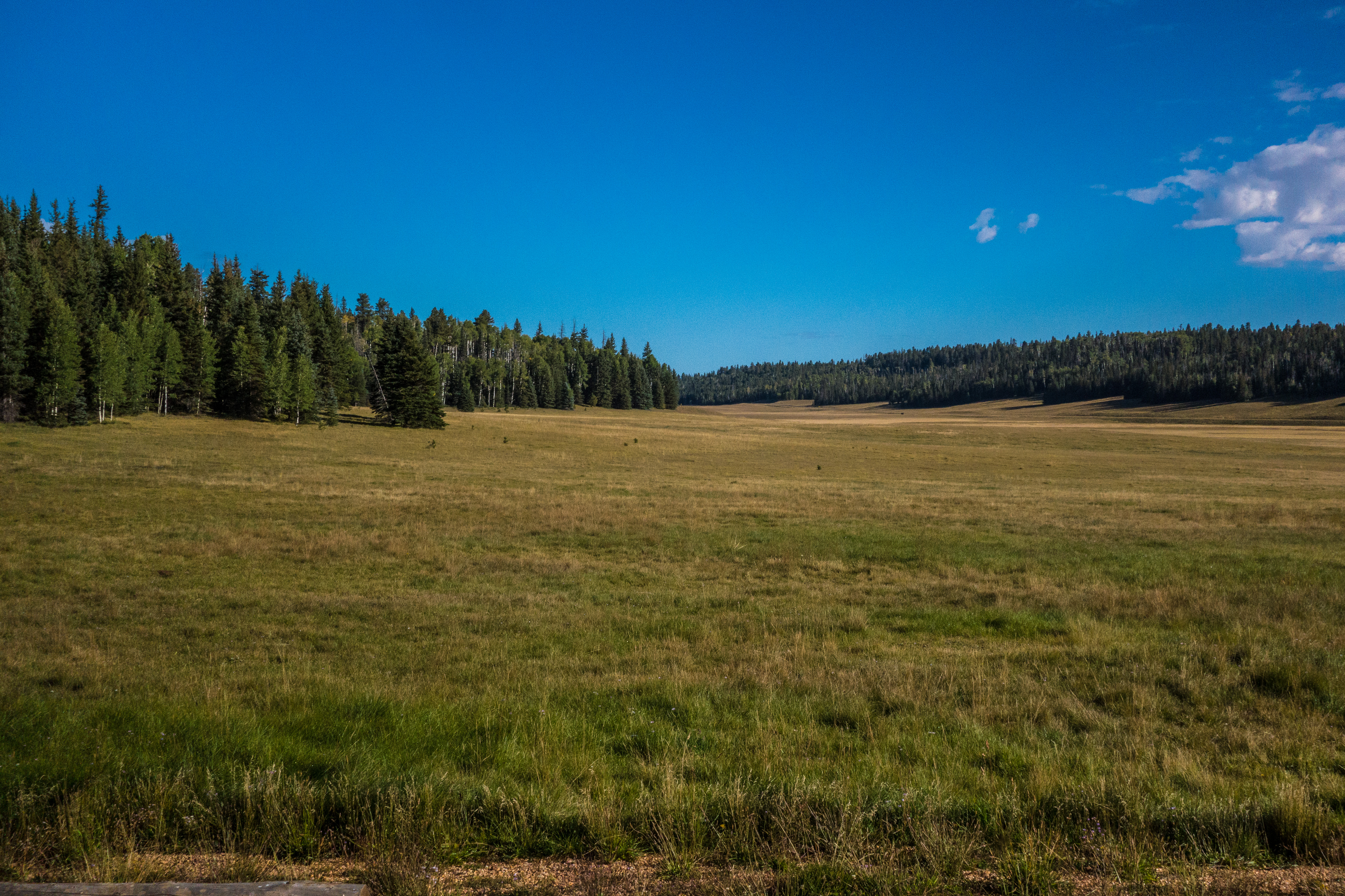
Kaibab Plateau Autumn
canyon = grand
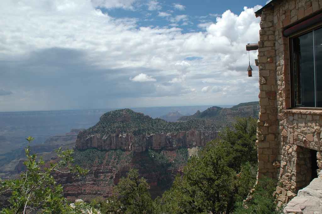
Grand Canyon Lodge
View from Kaibab Lodge
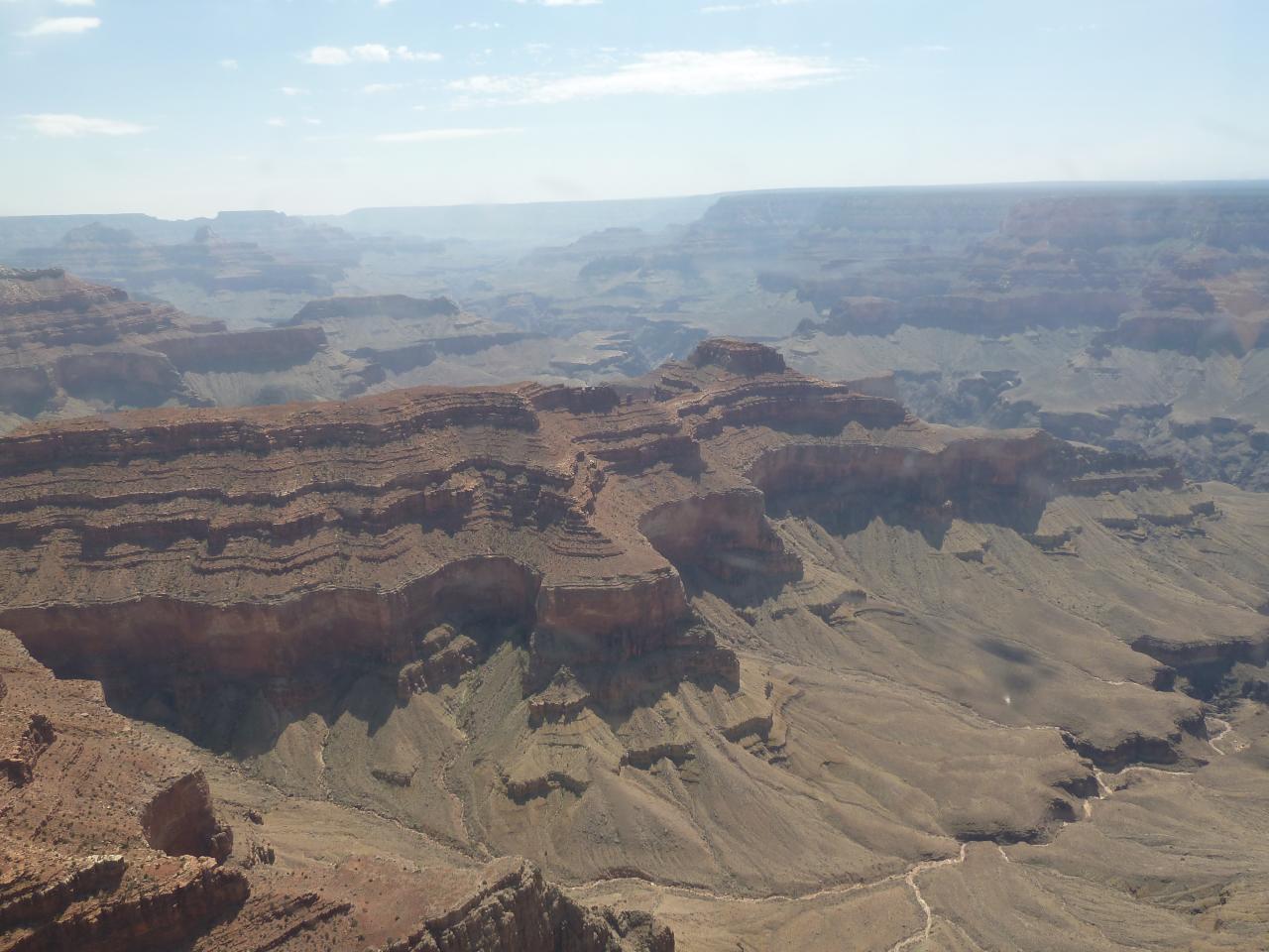
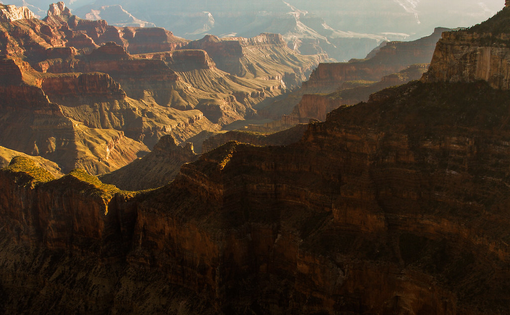
Aerial View, Grand Canyon 9
Grand_Canyon_N_Rim_UT-2
Topographic Map of Kaibab Plateau HP, Arizona, USA
Find elevation by address:

Places near Kaibab Plateau HP, Arizona, USA:
Demotte Campground
North Rim Lookout Tower
Point Sublime
Walla Valley
Dragon Head
North Rim
North Rim Ranger Station
North Rim Visitor Center
Grand Canyon Lodge - North Rim
Grand Canyon North Rim Lodge
Confucius Temple
Shiva Temple
Crystal Creek
Vista Encantada
Buddha Temple
Cottonwood Campground
North Kaibab Trail
Cape Royal Road
Boucher Rapids
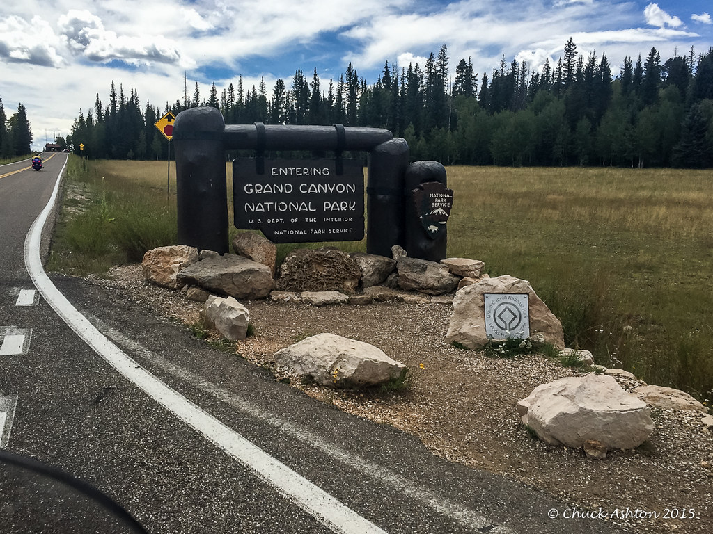
Grand Canyon National Park
Recent Searches:
- Elevation of Corso Fratelli Cairoli, 35, Macerata MC, Italy
- Elevation of Tallevast Rd, Sarasota, FL, USA
- Elevation of 4th St E, Sonoma, CA, USA
- Elevation of Black Hollow Rd, Pennsdale, PA, USA
- Elevation of Oakland Ave, Williamsport, PA, USA
- Elevation of Pedrógão Grande, Portugal
- Elevation of Klee Dr, Martinsburg, WV, USA
- Elevation of Via Roma, Pieranica CR, Italy
- Elevation of Tavkvetili Mountain, Georgia
- Elevation of Hartfords Bluff Cir, Mt Pleasant, SC, USA