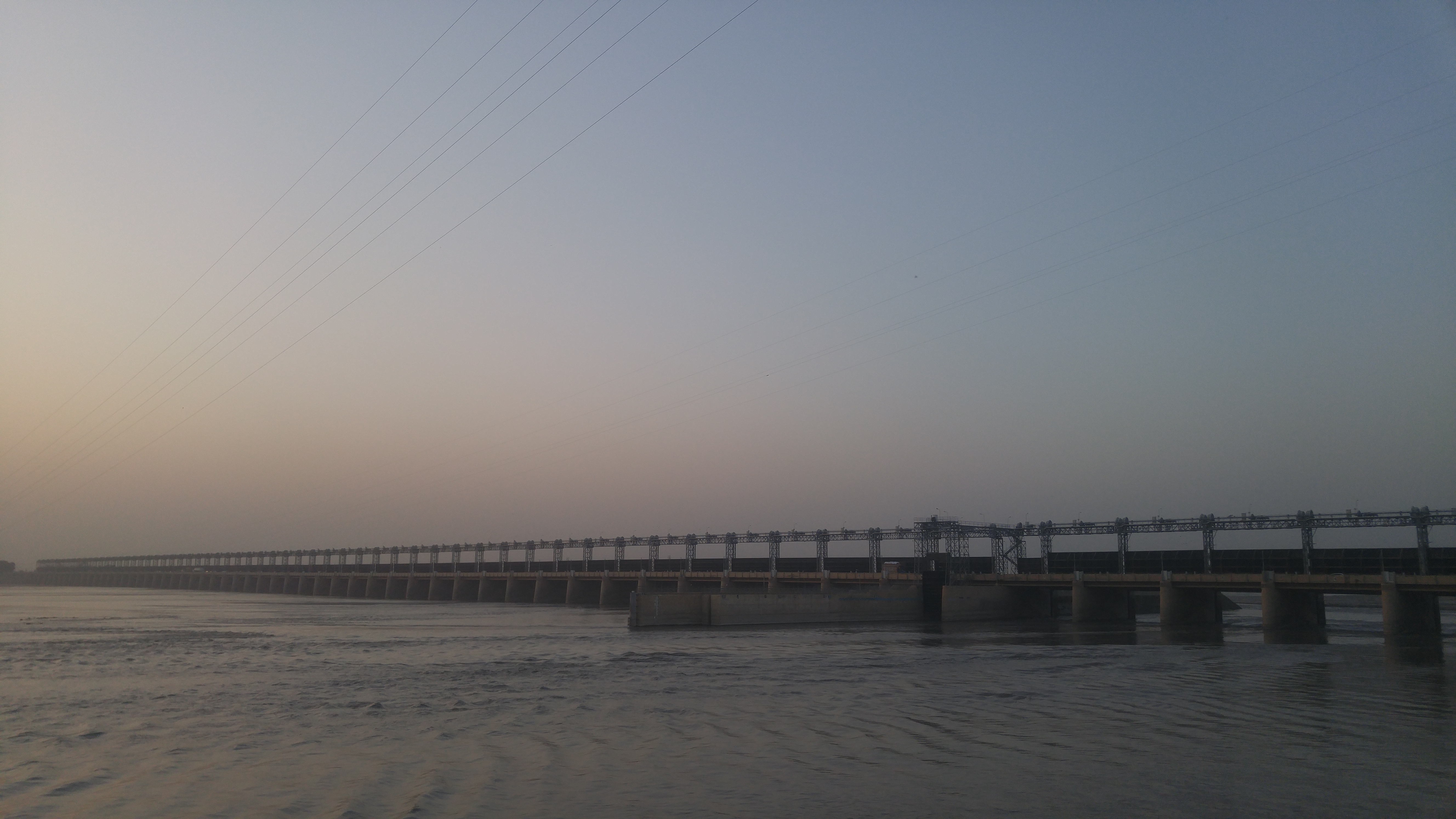
Elevation of Kachhi Canal Project, Muzaffargarh, Punjab, Pakistan
Location: Pakistan > Punjab > Muzaffargarh > Kot Addu > Bet Faqīrwāli >
Longitude: 70.831134
Latitude: 30.5131498
Elevation: 135m / 443feet
Barometric Pressure: 100KPa
Elevation Map:
Satellite Map:
Related Photos:

Indus river view birds

2146754-23534
bridge is a water romanace

burning evening

Picture 043

Picture 044

2467-23168-2622021

growing river water "indus".

oppo-IMG_20210204_135958

high tech:IMG_20210202_134041
Topographic Map of Kachhi Canal Project, Muzaffargarh, Punjab, Pakistan
Find elevation by address:

Places near Kachhi Canal Project, Muzaffargarh, Punjab, Pakistan:
Taunsa Barrage
Bet Faqīrwāli
Kala
Kot Addu
Dera Ghazi Khan
Layyah
Taunsa
Chashma Right Bank Canal
Muzaffargarh
D G Khan
De-excluded Area Dera Ghazi Khan
Chenab Park Lake
Abdullah Medical Store
Chaman Zar E Askari Park Multan
Masjid Shah Ali Akbar
New Town
Tomb Mother Of Shah Ali Akbar
Bin Qasim Road
Tomb Mai Maharban
Darbar Peer Hazrat Yousaf Shah Gardez
Recent Searches:
- Elevation of Corso Fratelli Cairoli, 35, Macerata MC, Italy
- Elevation of Tallevast Rd, Sarasota, FL, USA
- Elevation of 4th St E, Sonoma, CA, USA
- Elevation of Black Hollow Rd, Pennsdale, PA, USA
- Elevation of Oakland Ave, Williamsport, PA, USA
- Elevation of Pedrógão Grande, Portugal
- Elevation of Klee Dr, Martinsburg, WV, USA
- Elevation of Via Roma, Pieranica CR, Italy
- Elevation of Tavkvetili Mountain, Georgia
- Elevation of Hartfords Bluff Cir, Mt Pleasant, SC, USA