Elevation of Bet Faqīrwāli, Dera Ghazi Khan, Punjab, Pakistan
Location: Pakistan > Punjab > Muzaffargarh > Kot Addu >
Longitude: 70.8253739
Latitude: 30.4909798
Elevation: 132m / 433feet
Barometric Pressure: 100KPa
Elevation Map:
Satellite Map:
Related Photos:

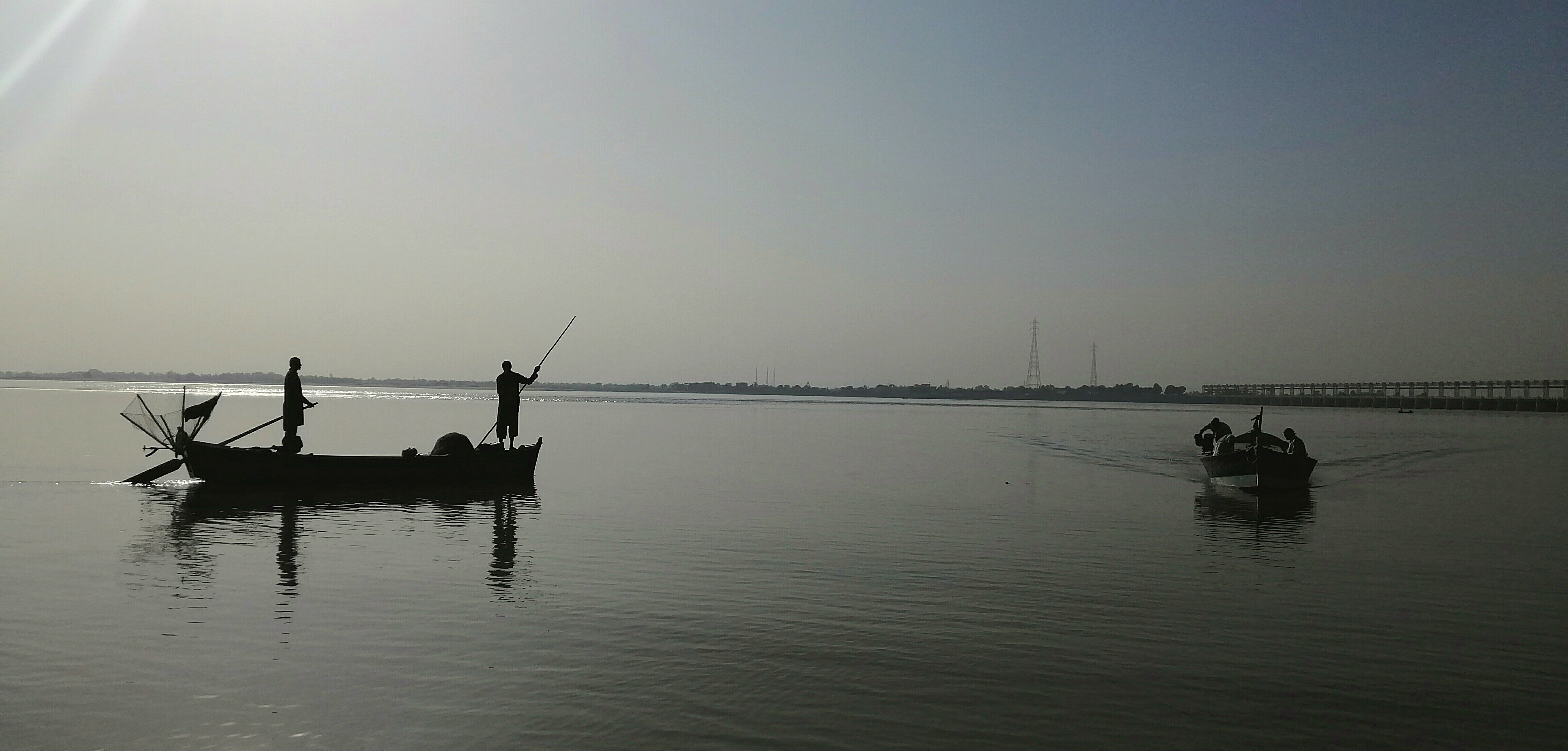
Indus river view birds

2146754-23534
bridge is a water romanace

burning evening

Picture 043

Picture 044

2020-11-13_07-07-24
2020-11-12_11-55-46

2020-10-27_01-14-12

2020-10-25_04-43-13

2020-10-25_03-34-31

2020-10-24_11-04-42

2020-10-23_07-53-35
2020-10-21_08-09-33

2020-10-21_07-56-22

2020-10-20_07-51-14

2020-10-20_07-50-23

2020-10-20_04-57-46

2020-10-20_04-57-13

2020-10-20_01-49-12

2020-10-20_08-58-07
2020-10-20_08-57-32

2020-10-19_09-15-39

2020-10-19_06-45-35

2020-10-19_12-27-59

2020-10-19_09-37-16

2020-10-19_09-33-52
Topographic Map of Bet Faqīrwāli, Dera Ghazi Khan, Punjab, Pakistan
Find elevation by address:

Places in Bet Faqīrwāli, Dera Ghazi Khan, Punjab, Pakistan:
Places near Bet Faqīrwāli, Dera Ghazi Khan, Punjab, Pakistan:
Kachhi Canal Project
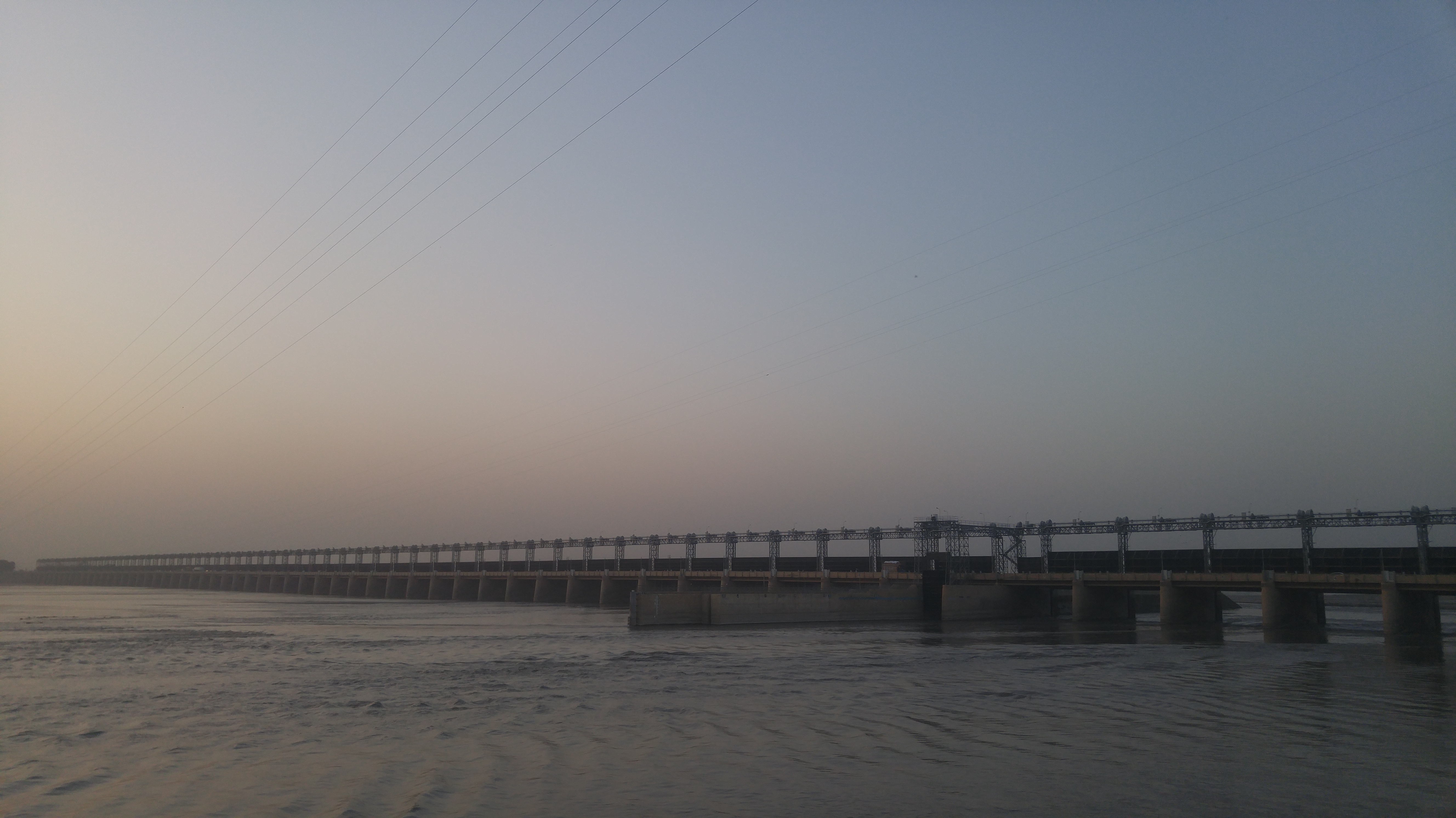
Taunsa Barrage
Kala
Kot Addu
Dera Ghazi Khan
Muzaffargarh
Layyah
Taunsa
Chashma Right Bank Canal
D G Khan
De-excluded Area Dera Ghazi Khan
Chenab Park Lake
Abdullah Medical Store
Chaman Zar E Askari Park Multan
Masjid Shah Ali Akbar
New Town
Tomb Mother Of Shah Ali Akbar
Bin Qasim Road
Dera Ghazi Khan Canal
Tomb Mai Maharban
Recent Searches:
- Elevation of Corso Fratelli Cairoli, 35, Macerata MC, Italy
- Elevation of Tallevast Rd, Sarasota, FL, USA
- Elevation of 4th St E, Sonoma, CA, USA
- Elevation of Black Hollow Rd, Pennsdale, PA, USA
- Elevation of Oakland Ave, Williamsport, PA, USA
- Elevation of Pedrógão Grande, Portugal
- Elevation of Klee Dr, Martinsburg, WV, USA
- Elevation of Via Roma, Pieranica CR, Italy
- Elevation of Tavkvetili Mountain, Georgia
- Elevation of Hartfords Bluff Cir, Mt Pleasant, SC, USA