Elevation of Kabarnet, Kenya
Location: Kenya > Baringo County >
Longitude: 35.743418
Latitude: 0.490107
Elevation: 2053m / 6736feet
Barometric Pressure: 79KPa
Elevation Map:
Satellite Map:
Related Photos:
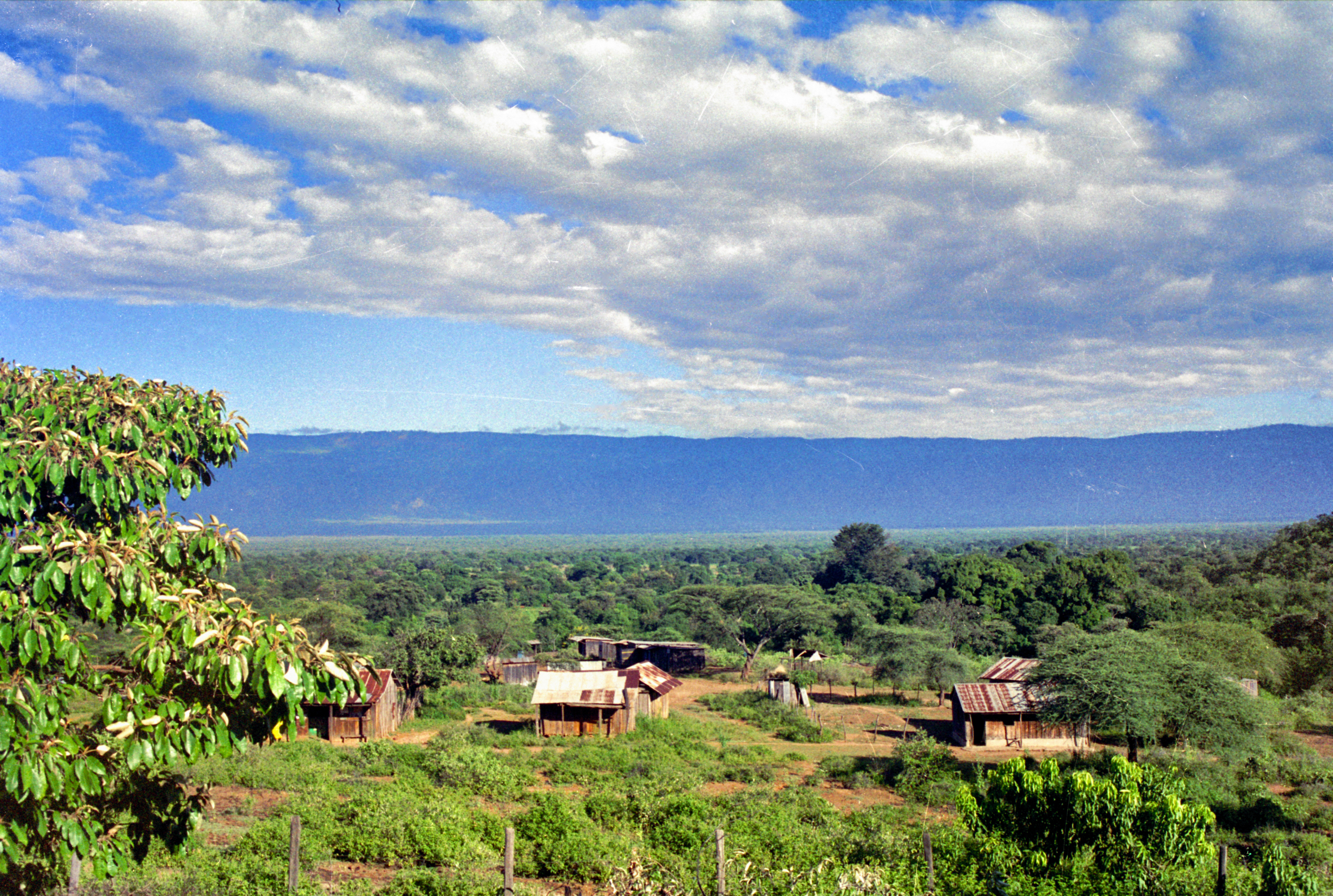
picture from my front porch
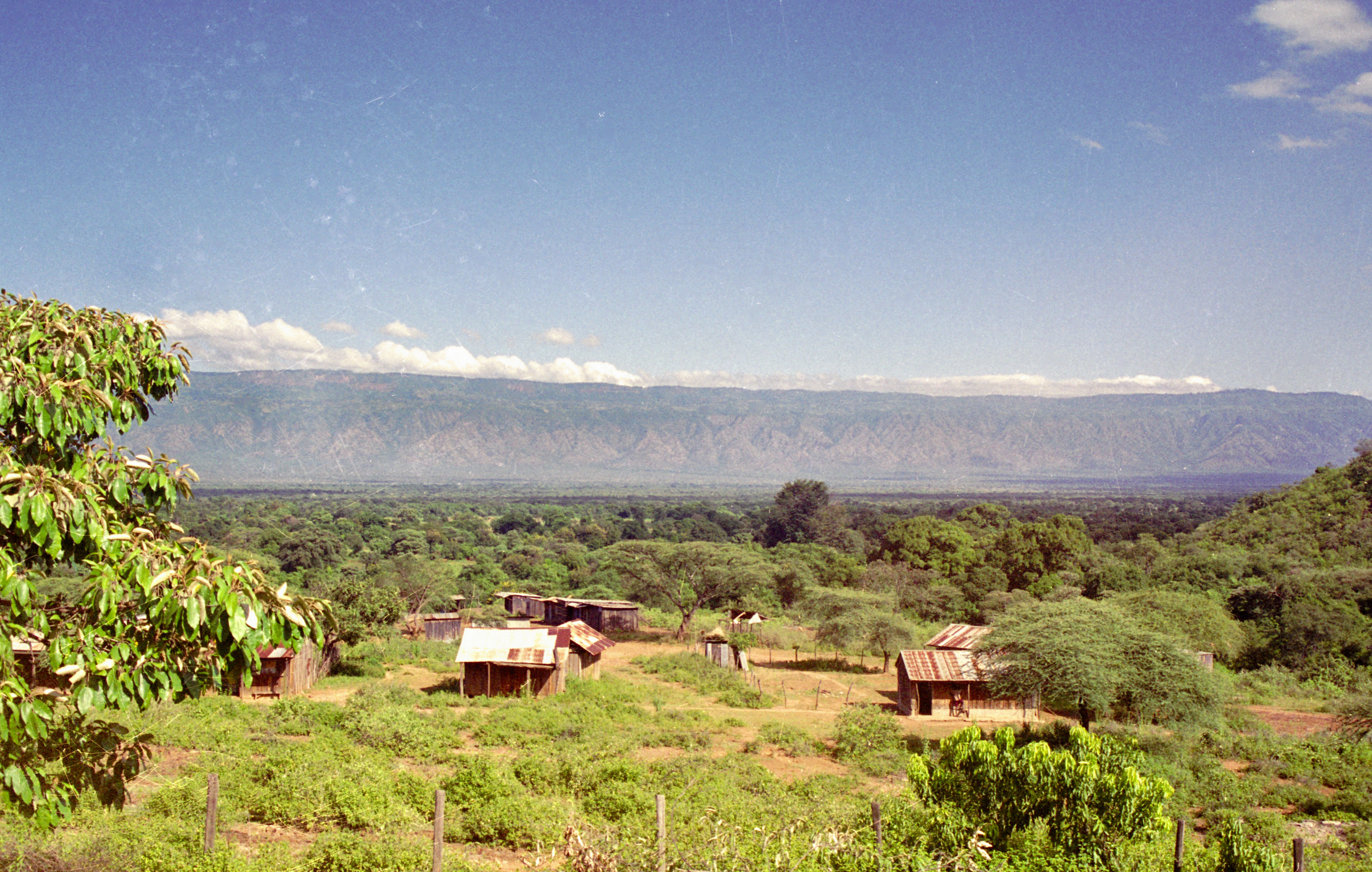
Sunny day from my front porch

kaplulk hill
Cheptebo Wakeling DSCF2775

Cheptebo WakelingIMG_3939
Cheptebo WakelingIMG_3937
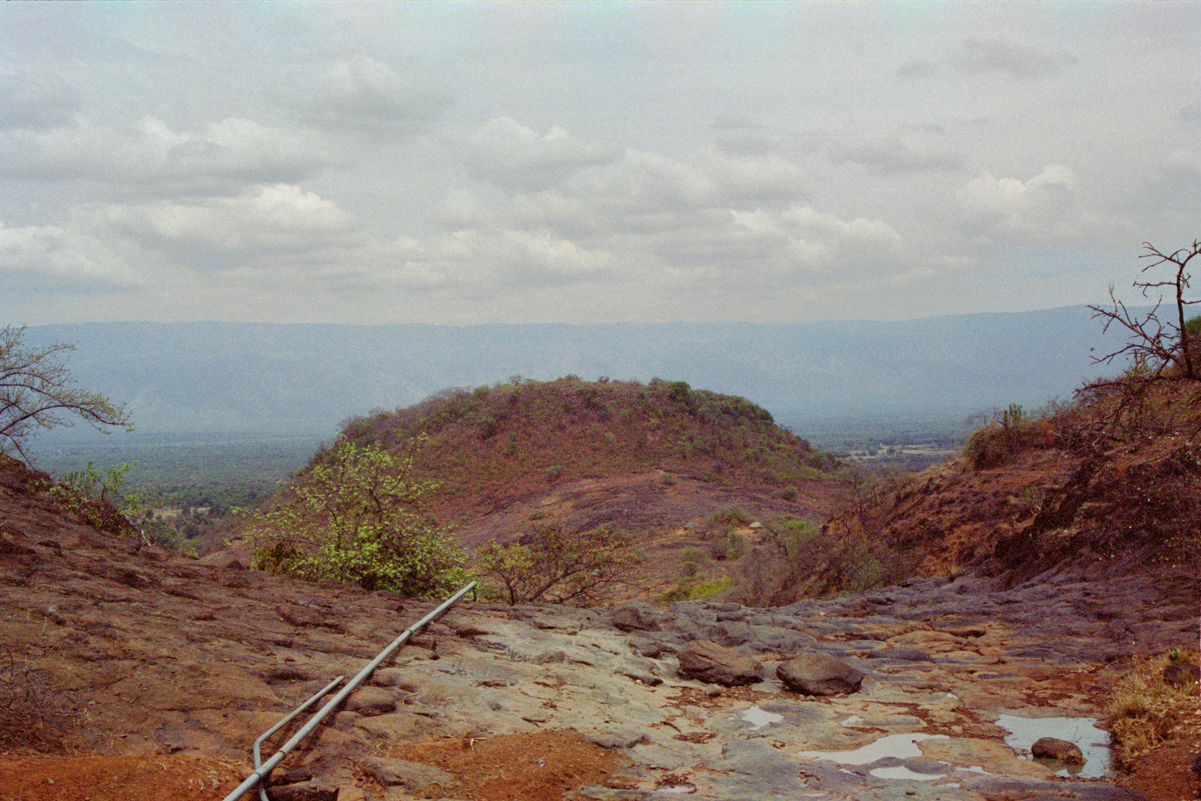
kaplulk hill2
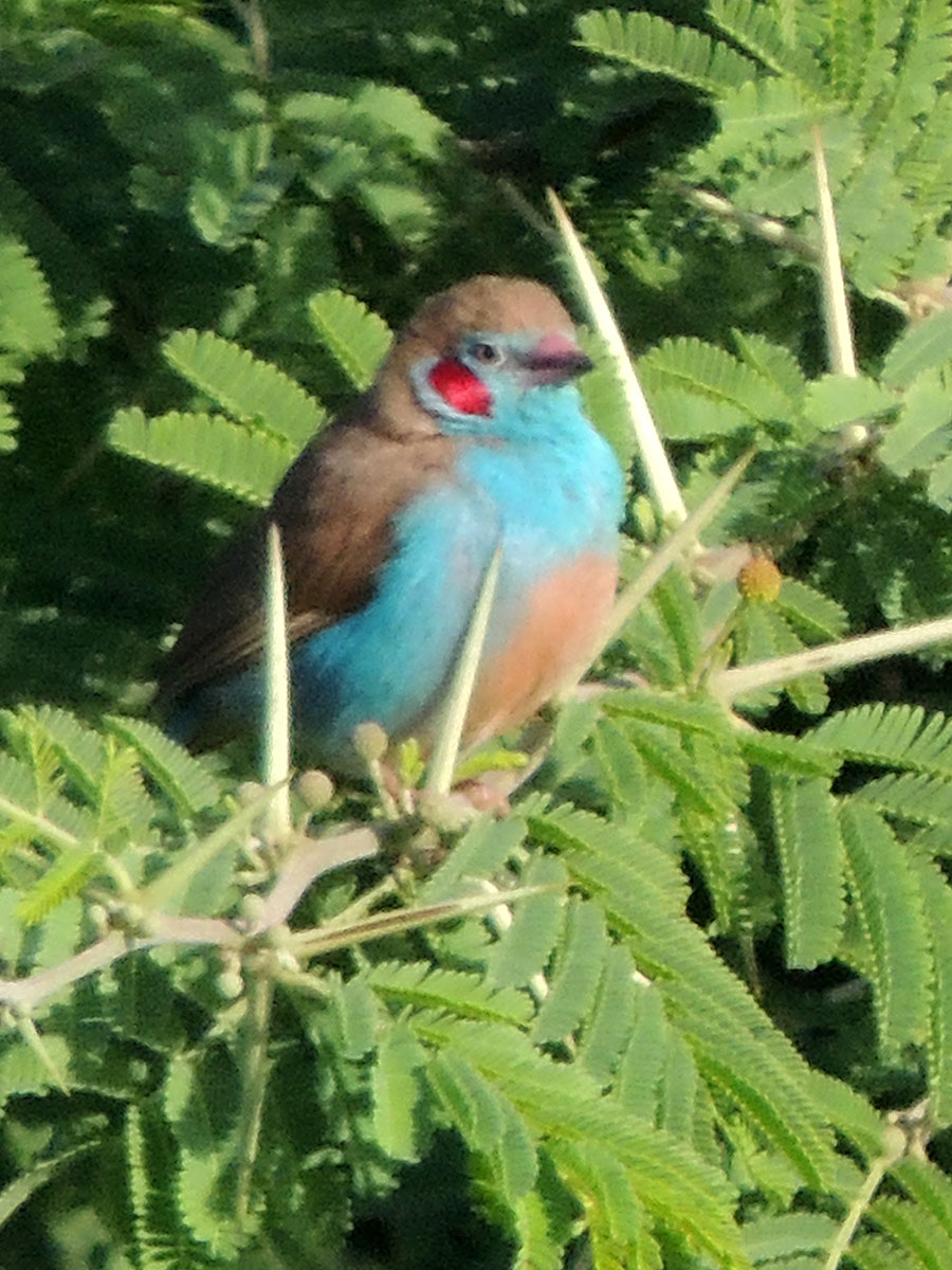
Red-cheeked Cordon Bleu
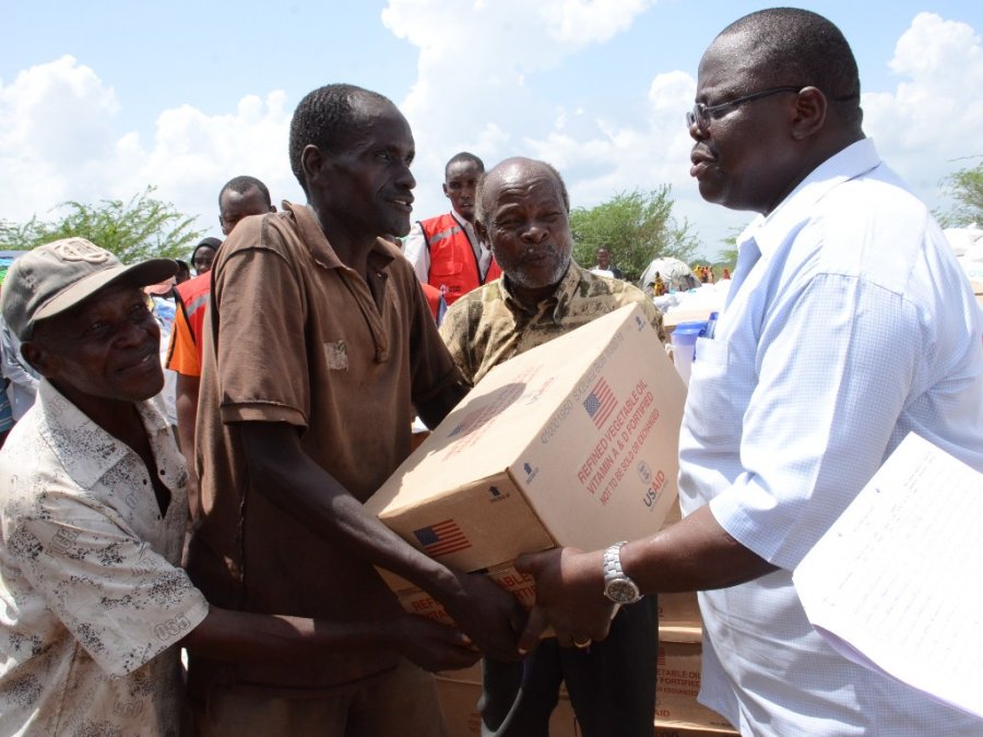
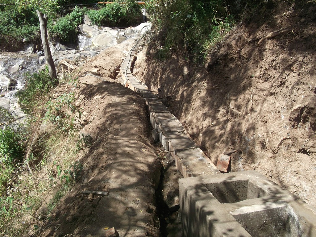
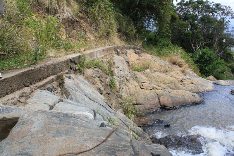
Day 206 Kenya river bursts

Cheptebo WakelingDSCF2767
Topographic Map of Kabarnet, Kenya
Find elevation by address:

Places near Kabarnet, Kenya:
Baringo County
Timboiwo
Kabartonjo
Rimoi
Kaptagat
Iten
Kipkabus
Yatya
Lake Baringo
Zenna Flower Farm
Lake Bogoria
Eldama Ravine
Uasin Gishu County
St. Luke Hospital
The Hill School
Chebara
Pioneer
Eldoret
Chepkum
Elgeyo-marakwet County
Recent Searches:
- Elevation of Corso Fratelli Cairoli, 35, Macerata MC, Italy
- Elevation of Tallevast Rd, Sarasota, FL, USA
- Elevation of 4th St E, Sonoma, CA, USA
- Elevation of Black Hollow Rd, Pennsdale, PA, USA
- Elevation of Oakland Ave, Williamsport, PA, USA
- Elevation of Pedrógão Grande, Portugal
- Elevation of Klee Dr, Martinsburg, WV, USA
- Elevation of Via Roma, Pieranica CR, Italy
- Elevation of Tavkvetili Mountain, Georgia
- Elevation of Hartfords Bluff Cir, Mt Pleasant, SC, USA