Elevation of Iten, Kenya
Location: Kenya > Elgeyo-marakwet County >
Longitude: 35.5083136
Latitude: 0.6732354
Elevation: 2359m / 7739feet
Barometric Pressure: 76KPa
Elevation Map:
Satellite Map:
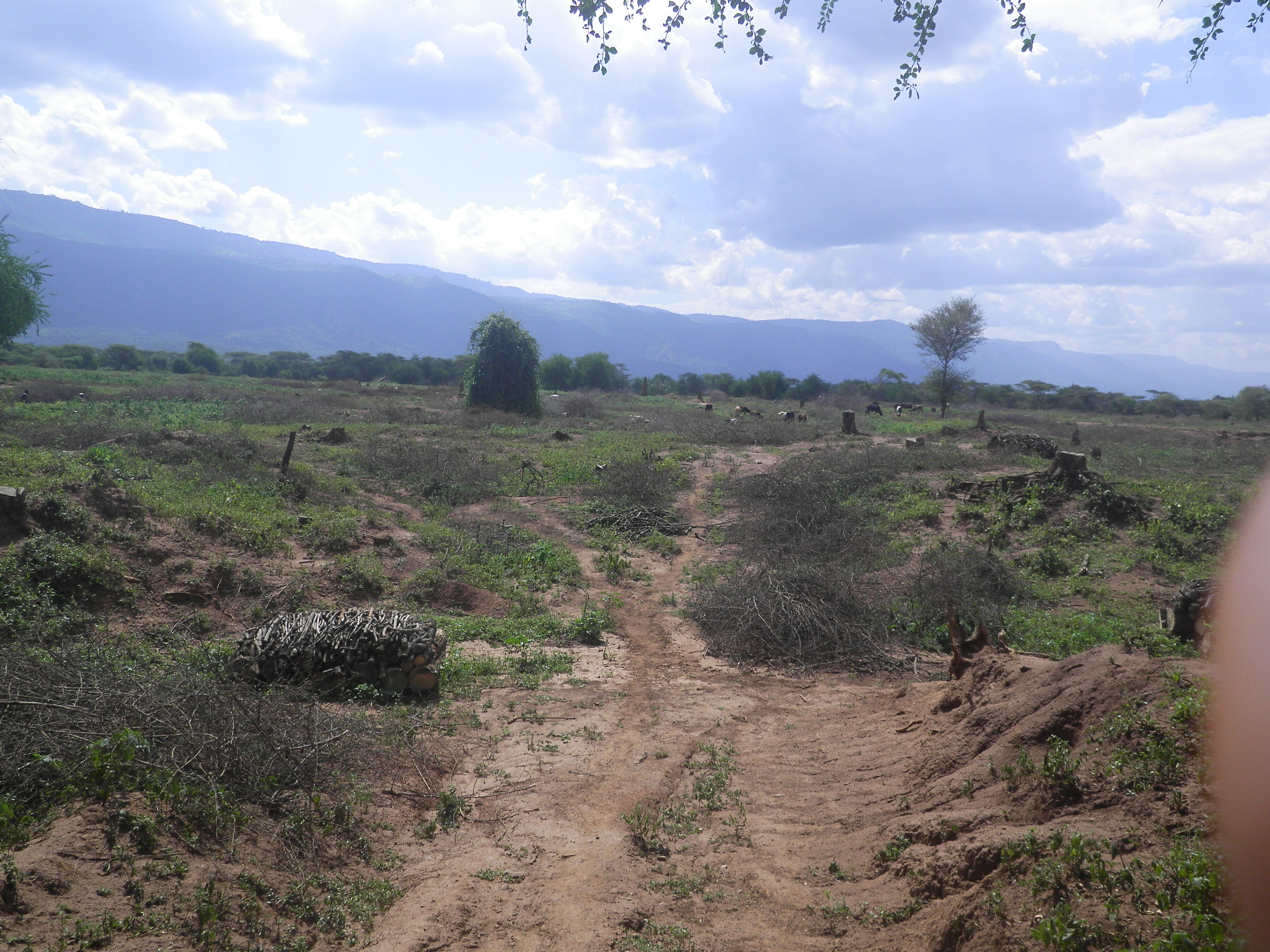
Related Photos:
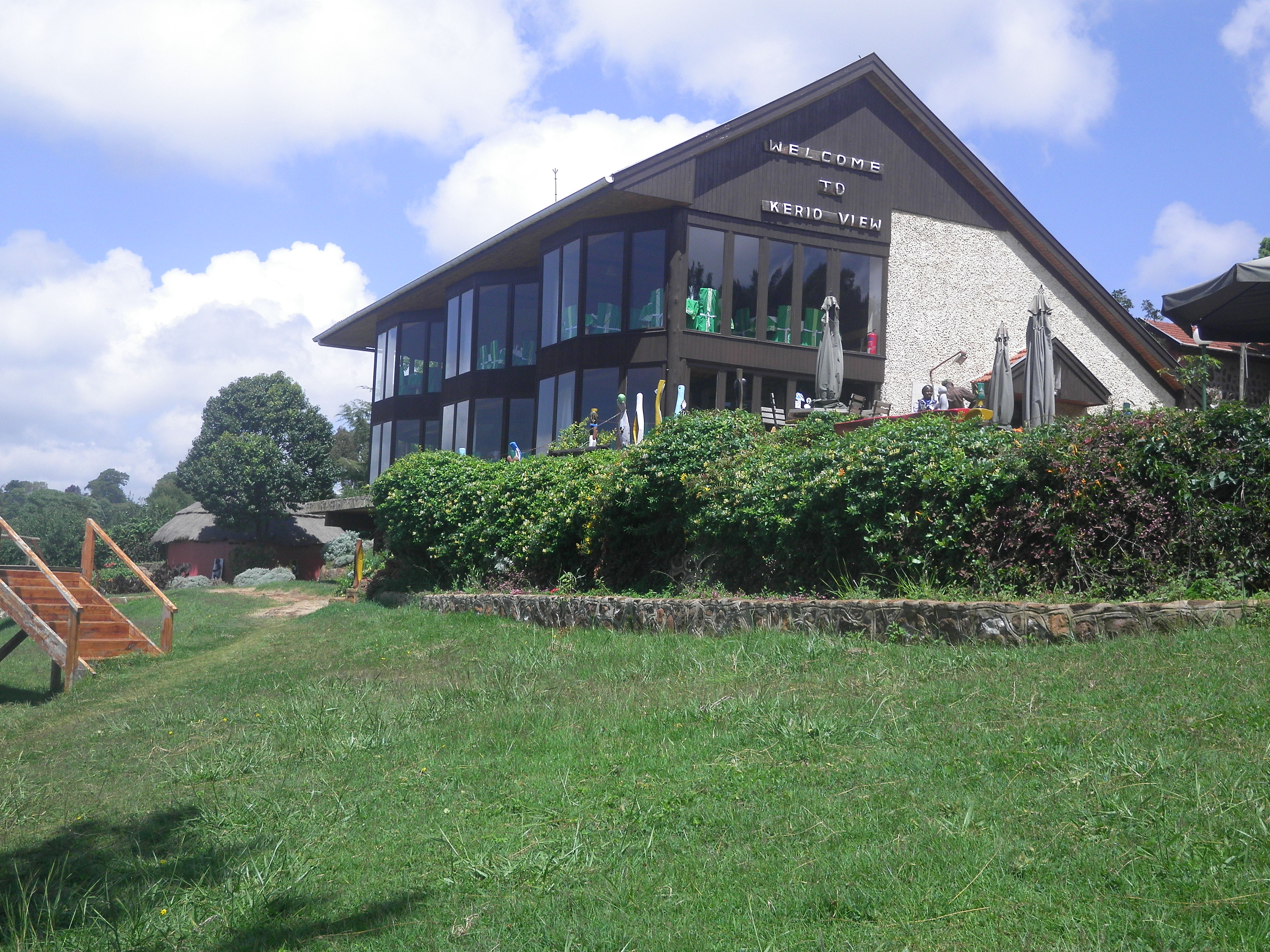
Kerio View 3
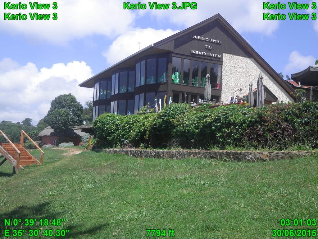
Kerio View 3
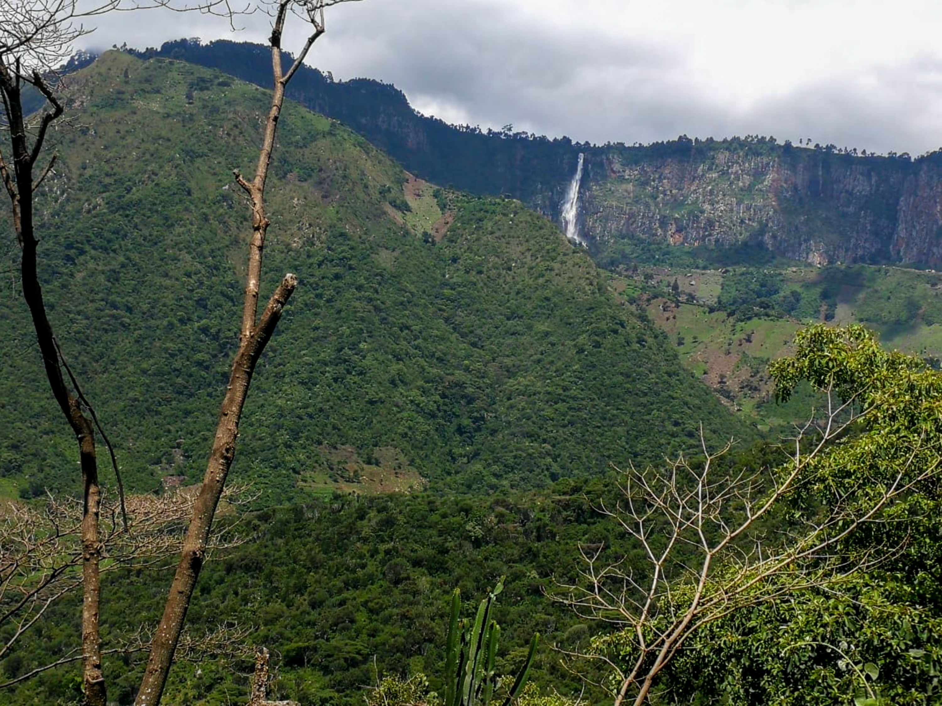
To the Waterfall
Cliff delight

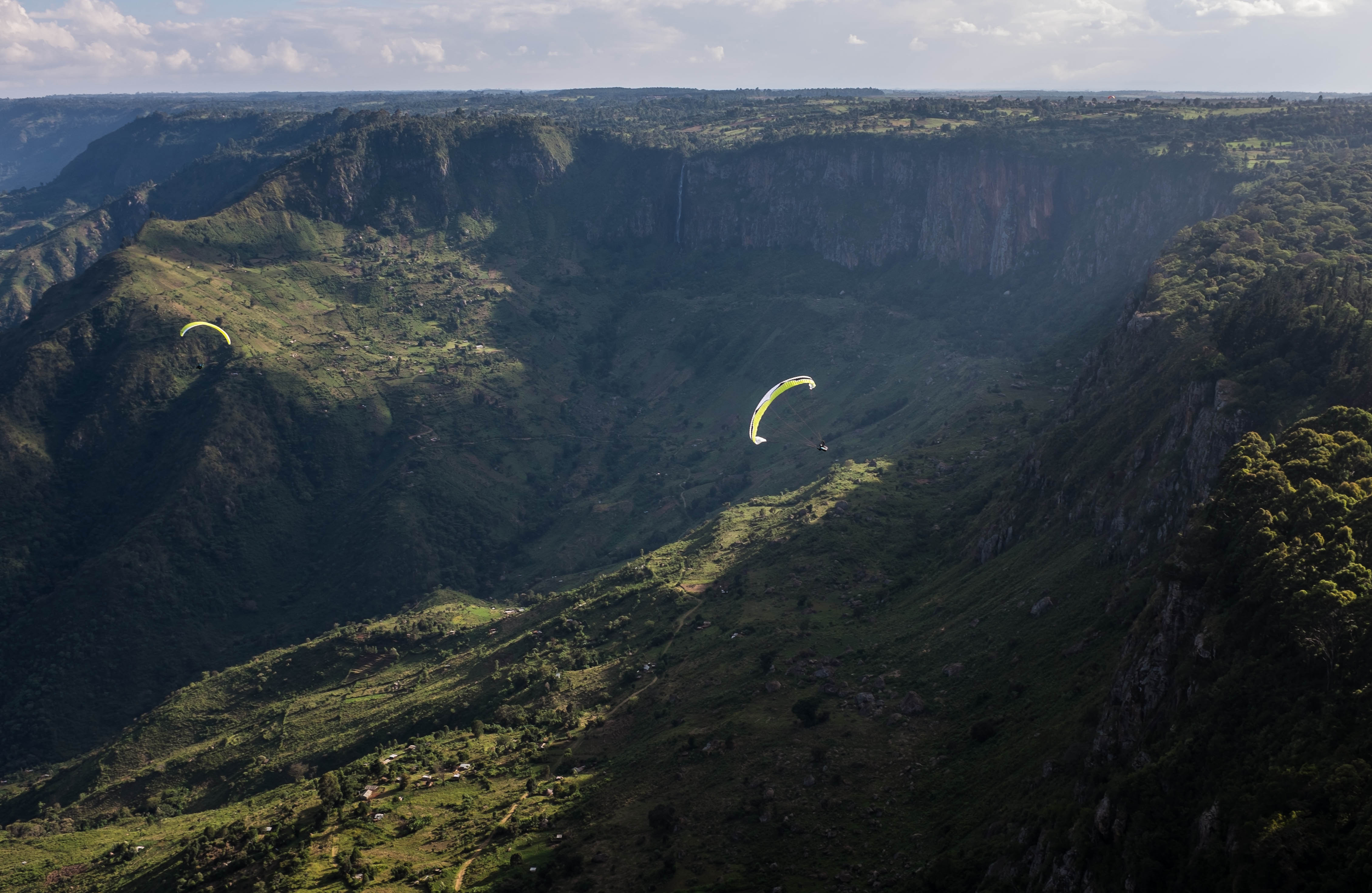
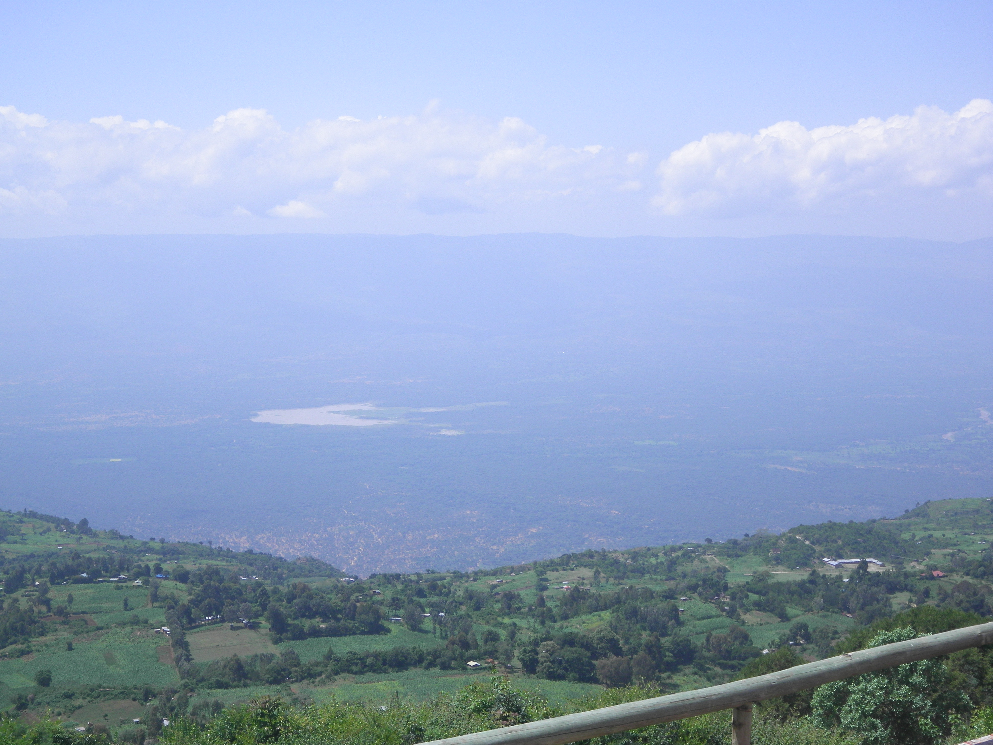
The Great Rift

_MG_6461.jpg

_MG_6497.jpg

_MG_6439-Edit.jpg

_MG_6434.jpg

_MG_6501.jpg
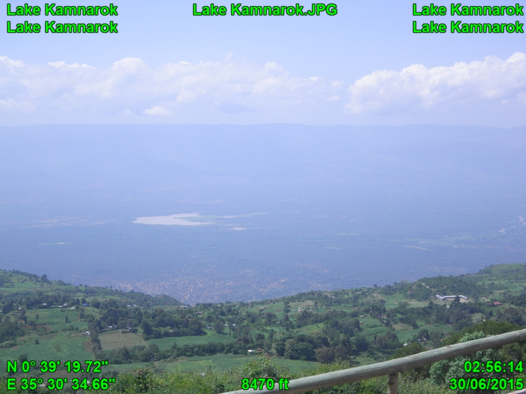
Lake Kamnarok
Cheptuket Site
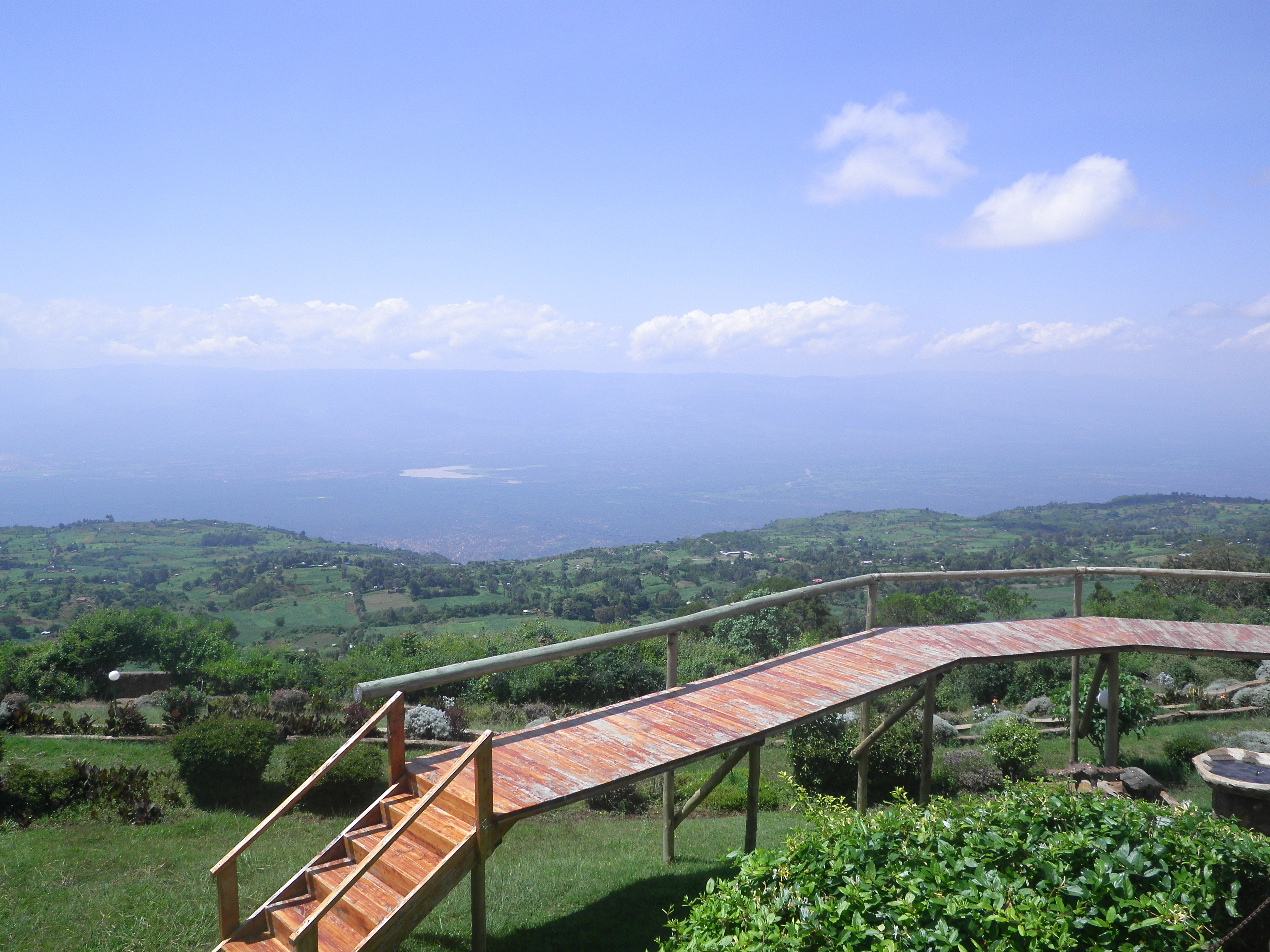
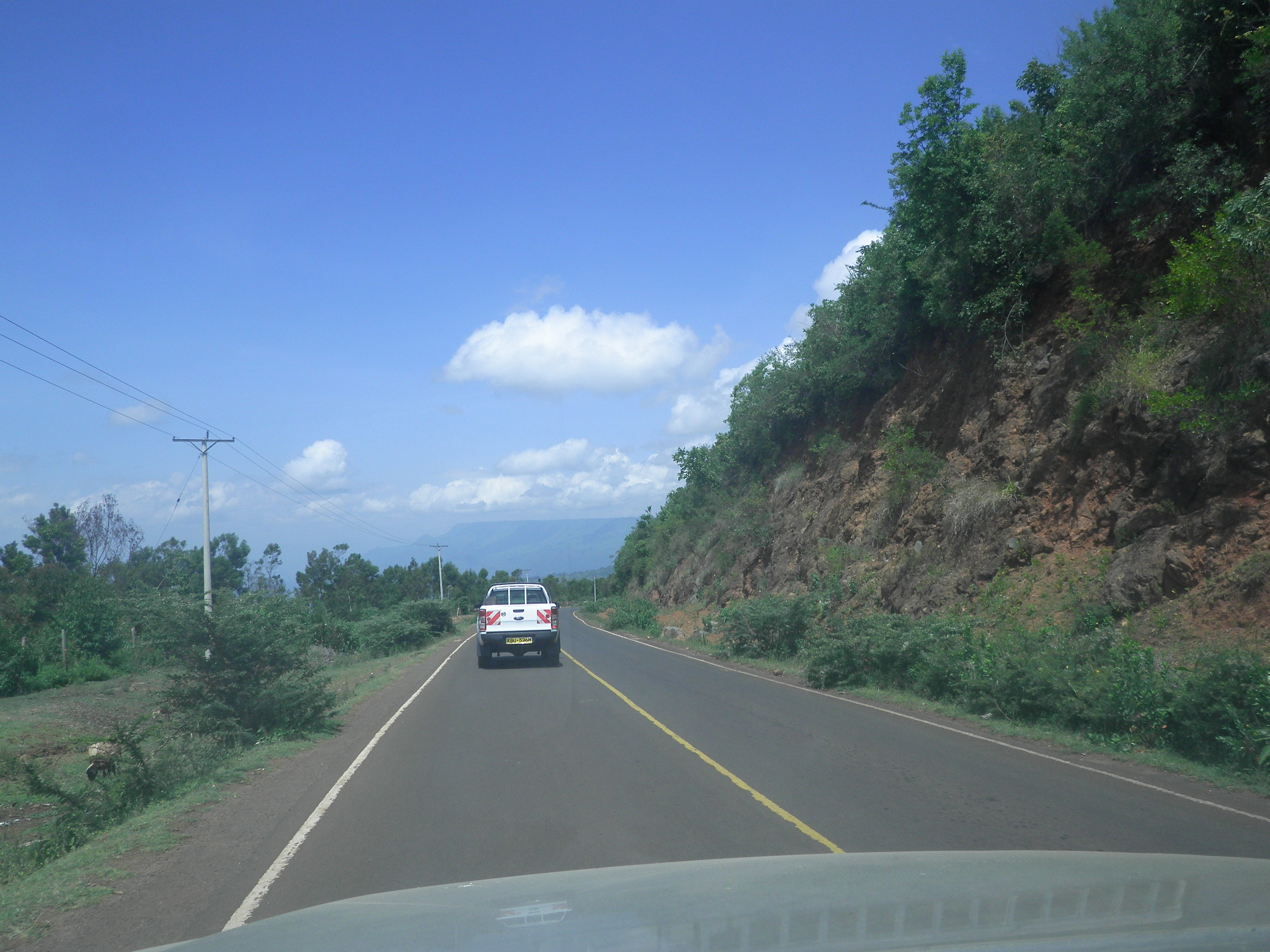
Kerio View3
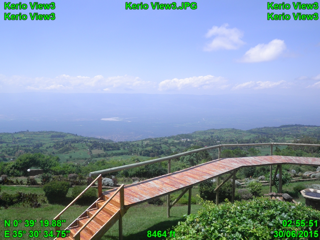
Kerio View3
Lake Kamnarok
Road condition2
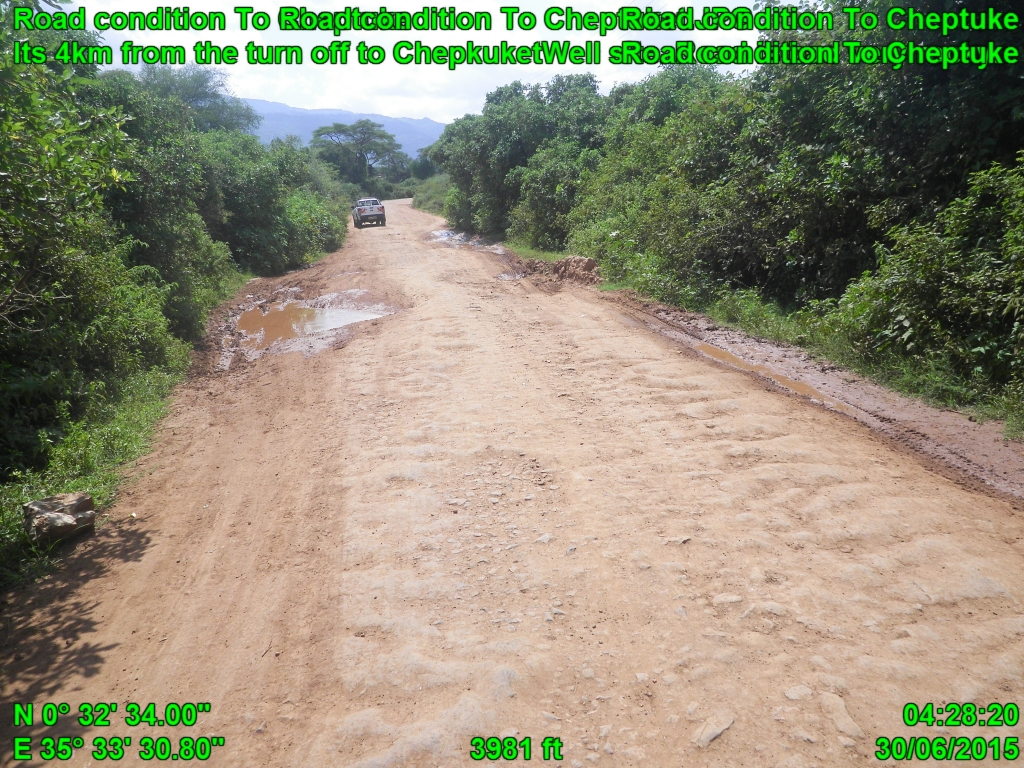
Road condition To Cheptuke
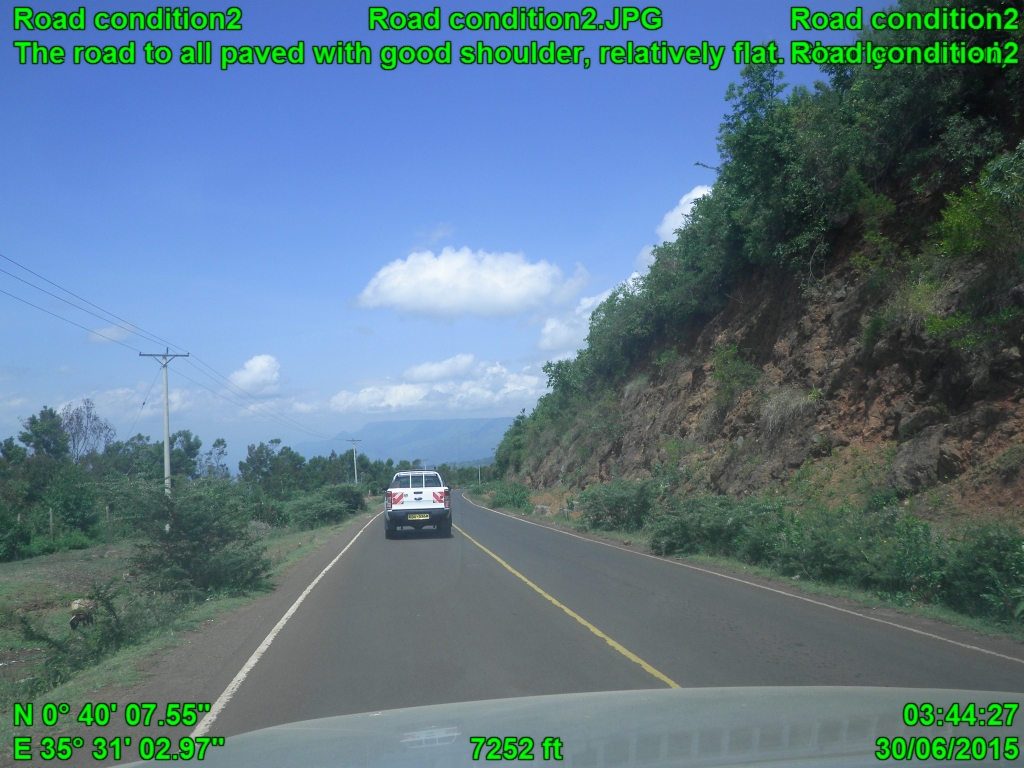
Road condition2
Topographic Map of Iten, Kenya
Find elevation by address:

Places near Iten, Kenya:
Rimoi
Chebara
Uasin Gishu County
Kaptagat
Zenna Flower Farm
St. Luke Hospital
Eldoret
Kabartonjo
The Hill School
Baringo County
Kabarnet
Pioneer
Chepkum
Kipkabus
Elgeyo-marakwet County
Timboiwo
Yatya
Kapsait Nike Athletics Camp
Kapsait
Lake Baringo
Recent Searches:
- Elevation of Corso Fratelli Cairoli, 35, Macerata MC, Italy
- Elevation of Tallevast Rd, Sarasota, FL, USA
- Elevation of 4th St E, Sonoma, CA, USA
- Elevation of Black Hollow Rd, Pennsdale, PA, USA
- Elevation of Oakland Ave, Williamsport, PA, USA
- Elevation of Pedrógão Grande, Portugal
- Elevation of Klee Dr, Martinsburg, WV, USA
- Elevation of Via Roma, Pieranica CR, Italy
- Elevation of Tavkvetili Mountain, Georgia
- Elevation of Hartfords Bluff Cir, Mt Pleasant, SC, USA