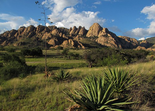
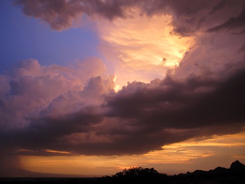
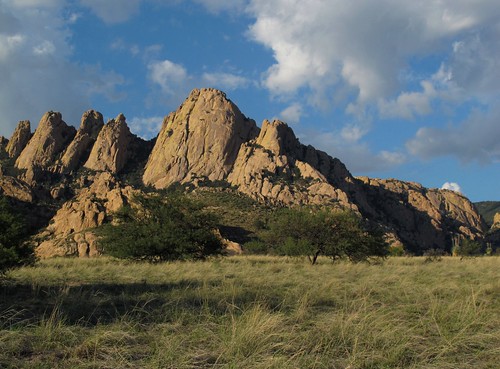
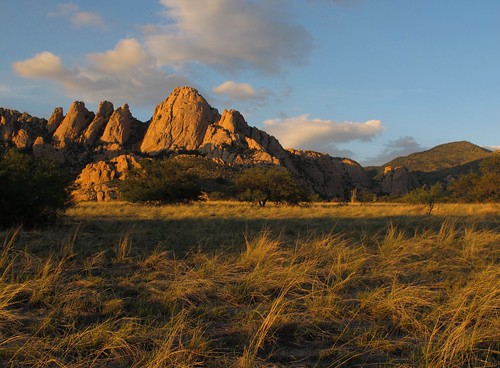
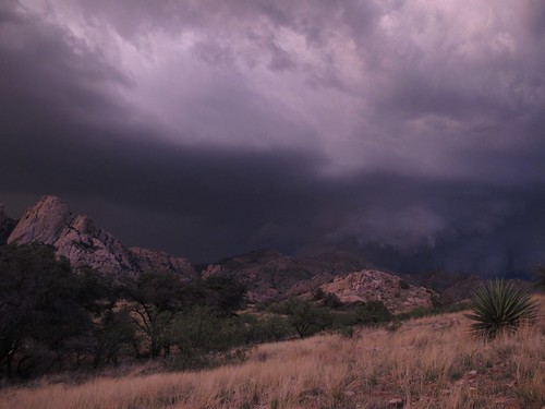
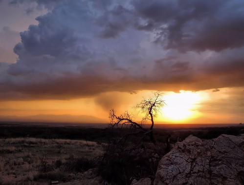
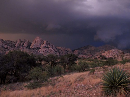
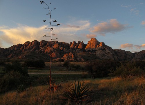
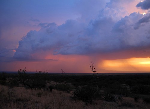
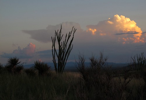
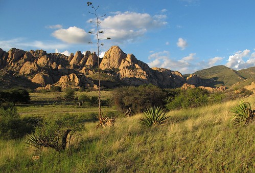
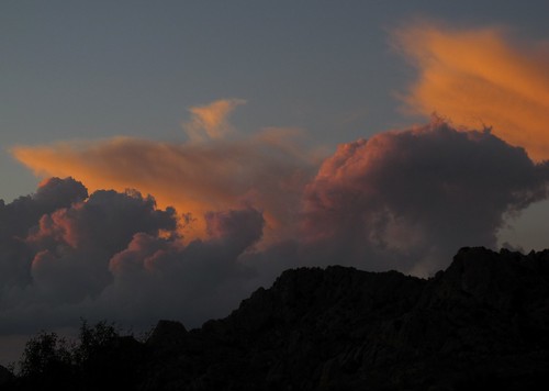
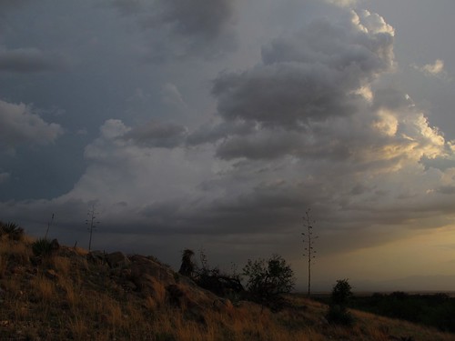
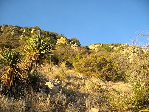
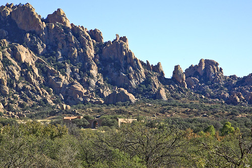
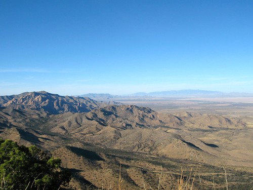
Elevation of Justin St, Cochise, AZ, USA
Location: United States > Arizona > Cochise County > Pearce >
Longitude: -109.90976
Latitude: 31.9378703
Elevation: 1385m / 4544feet
Barometric Pressure: 86KPa
Related Photos:
Topographic Map of Justin St, Cochise, AZ, USA
Find elevation by address:

Places near Justin St, Cochise, AZ, USA:
1210 Justin St
1210 Justin St
1210 Justin St
Justin Street
766 March St
951 N Cactus Wren Ln
West Devon Street
1587 W Dream Catcher Way
123 Geronimo Way
1210 Justin Ct
123 N Ron Ln
123 N Ron Ln
123 N Ron Ln
1208 Justin Cir
213 N Tracy Rd
1110 E Geneva St
1113 E Irene St
1205 E Christmas Tree Ln
1210 Eastjustin St
210 N Ford St
Recent Searches:
- Elevation of Corso Fratelli Cairoli, 35, Macerata MC, Italy
- Elevation of Tallevast Rd, Sarasota, FL, USA
- Elevation of 4th St E, Sonoma, CA, USA
- Elevation of Black Hollow Rd, Pennsdale, PA, USA
- Elevation of Oakland Ave, Williamsport, PA, USA
- Elevation of Pedrógão Grande, Portugal
- Elevation of Klee Dr, Martinsburg, WV, USA
- Elevation of Via Roma, Pieranica CR, Italy
- Elevation of Tavkvetili Mountain, Georgia
- Elevation of Hartfords Bluff Cir, Mt Pleasant, SC, USA
