Elevation of Justin St, Cochise, AZ, USA
Location: United States > Arizona > Cochise County > Pearce >
Longitude: -109.90976
Latitude: 31.9378703
Elevation: 1385m / 4544feet
Barometric Pressure: 86KPa
Elevation Map:
Satellite Map:
Related Photos:
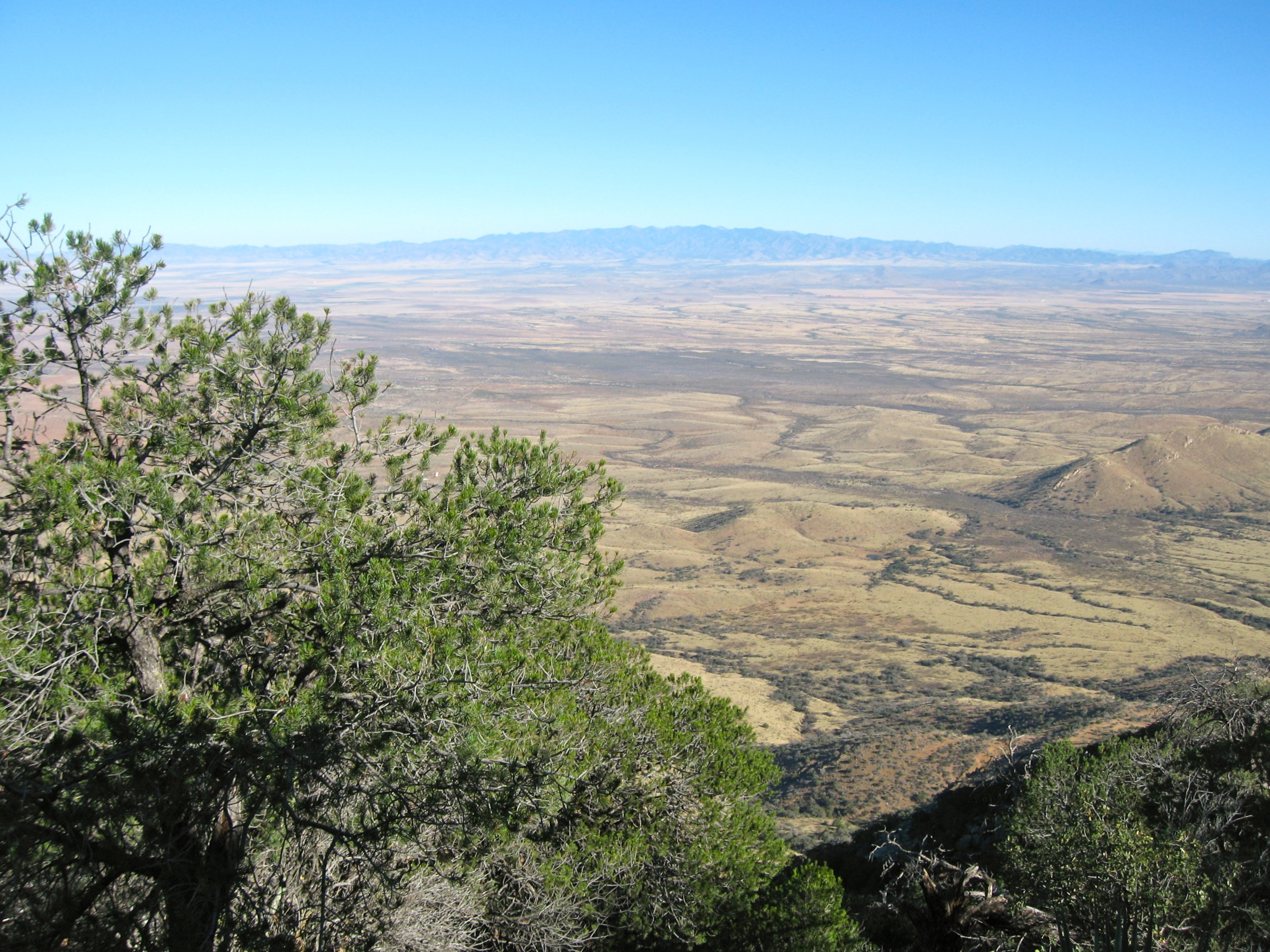
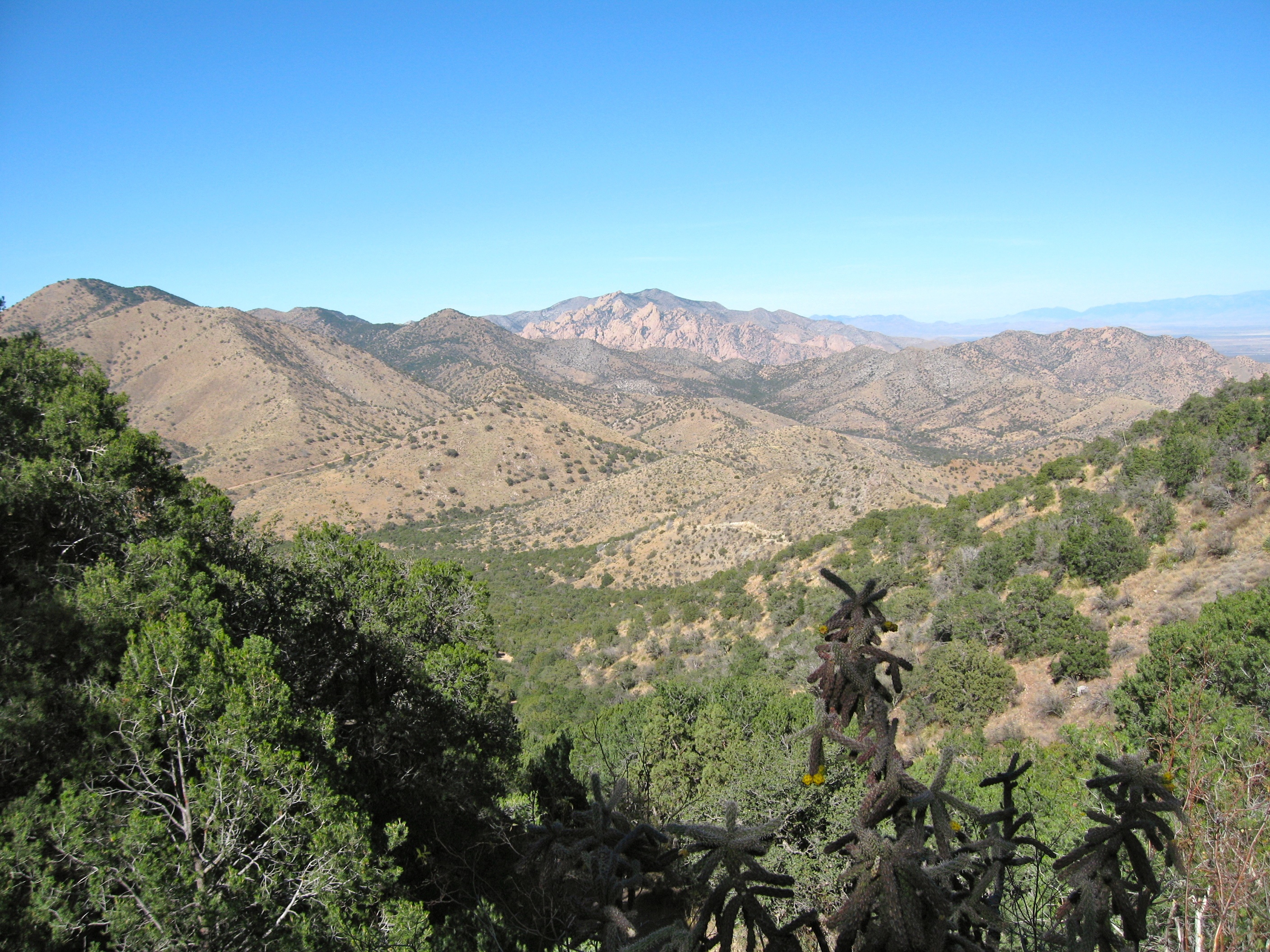
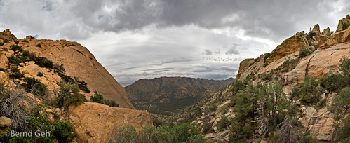
View to the crest
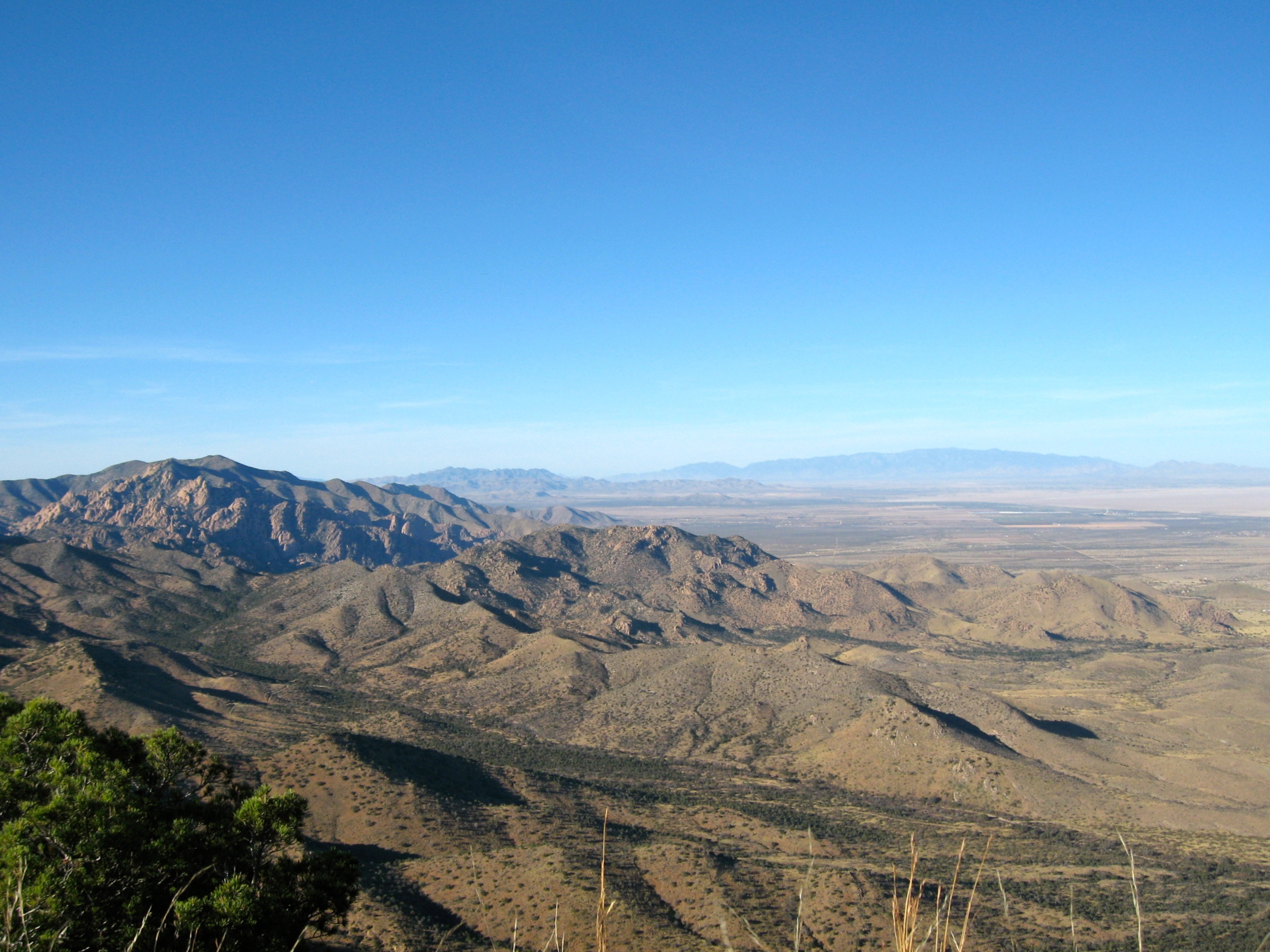
View to the Pinaleños
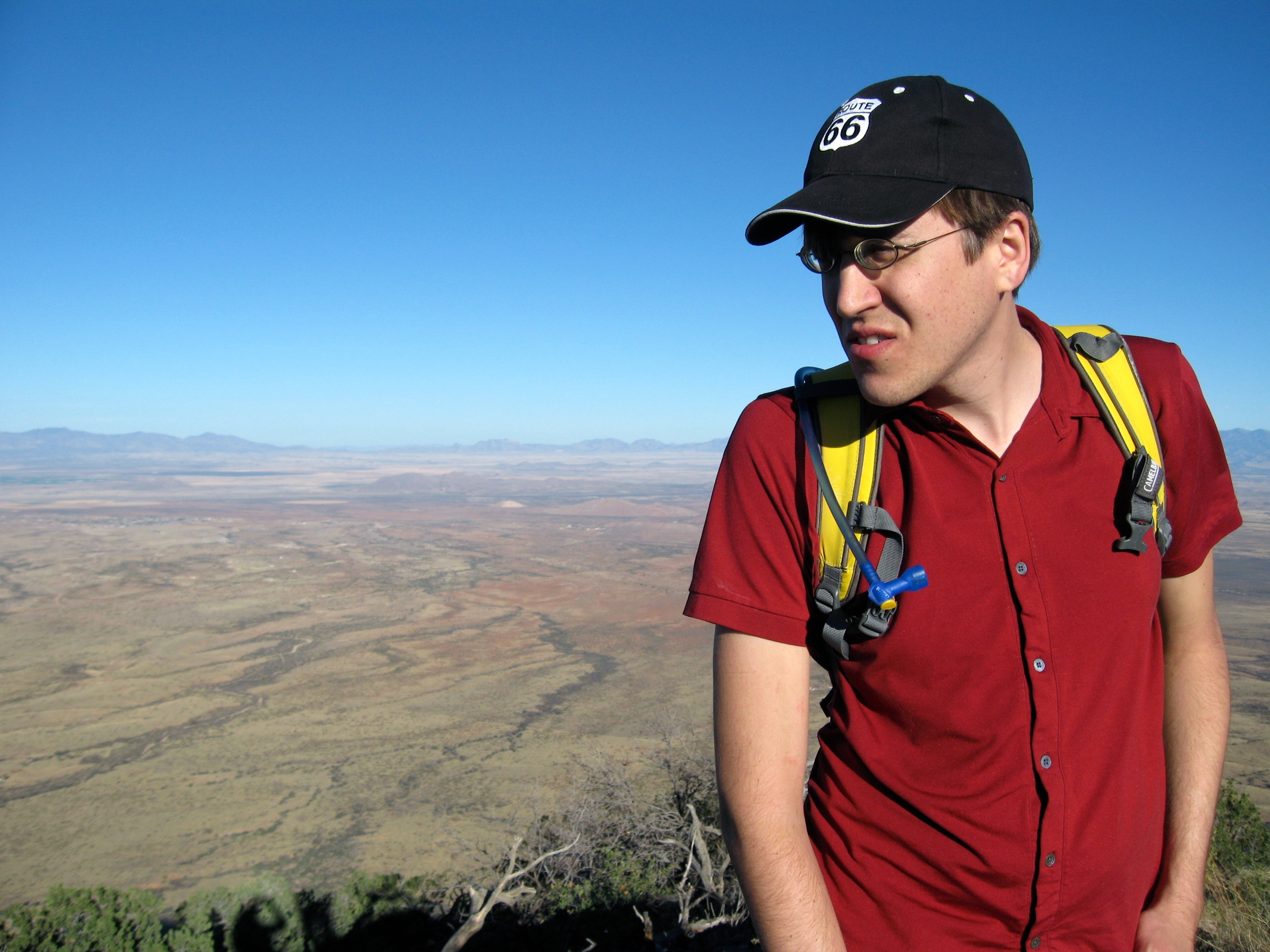
Mats surveys the views

Close up view

IMG_6849-crv.rgb

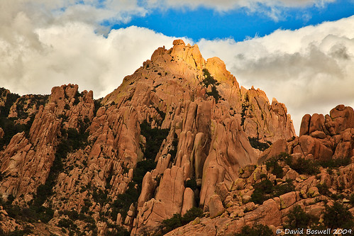
Black Diamond Peak
Arrival at the summit
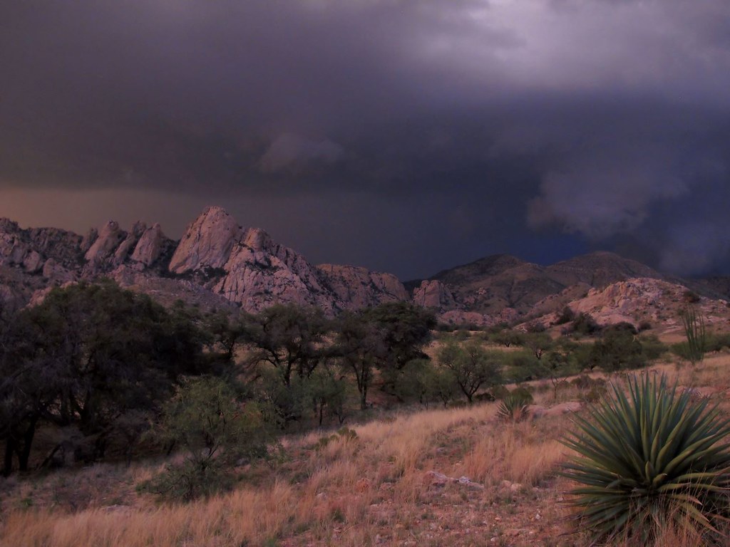
Northern Dragoons
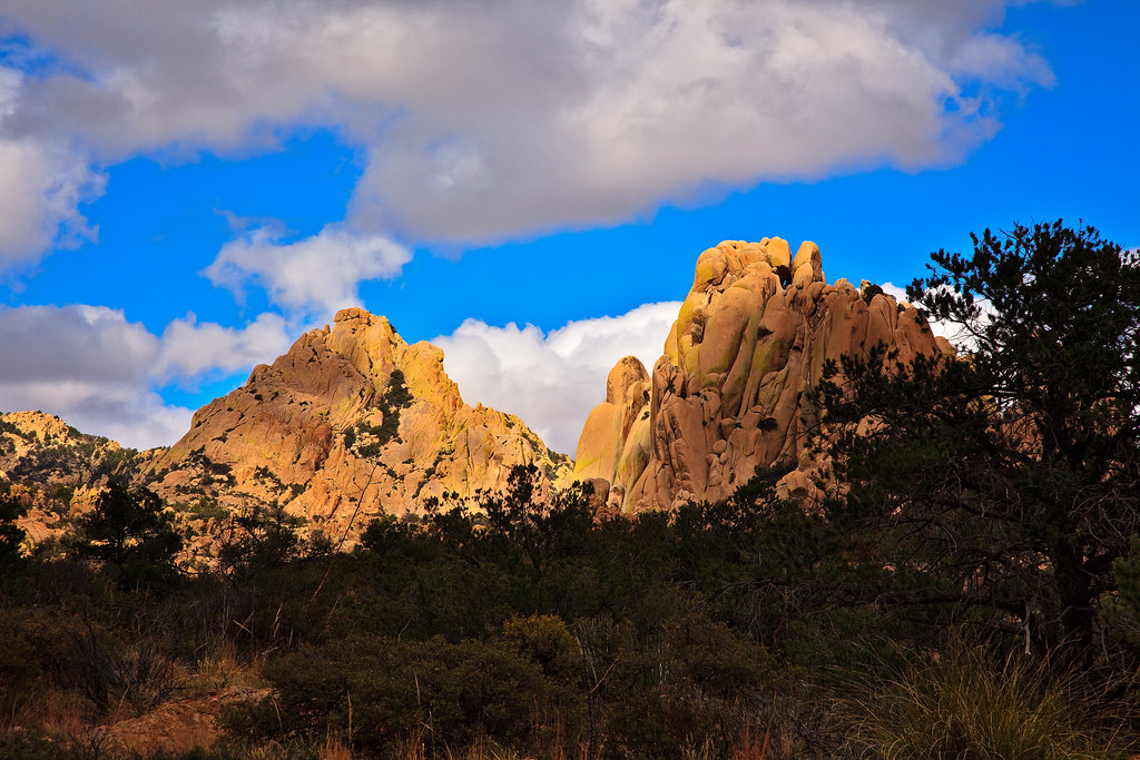
The Dragoons

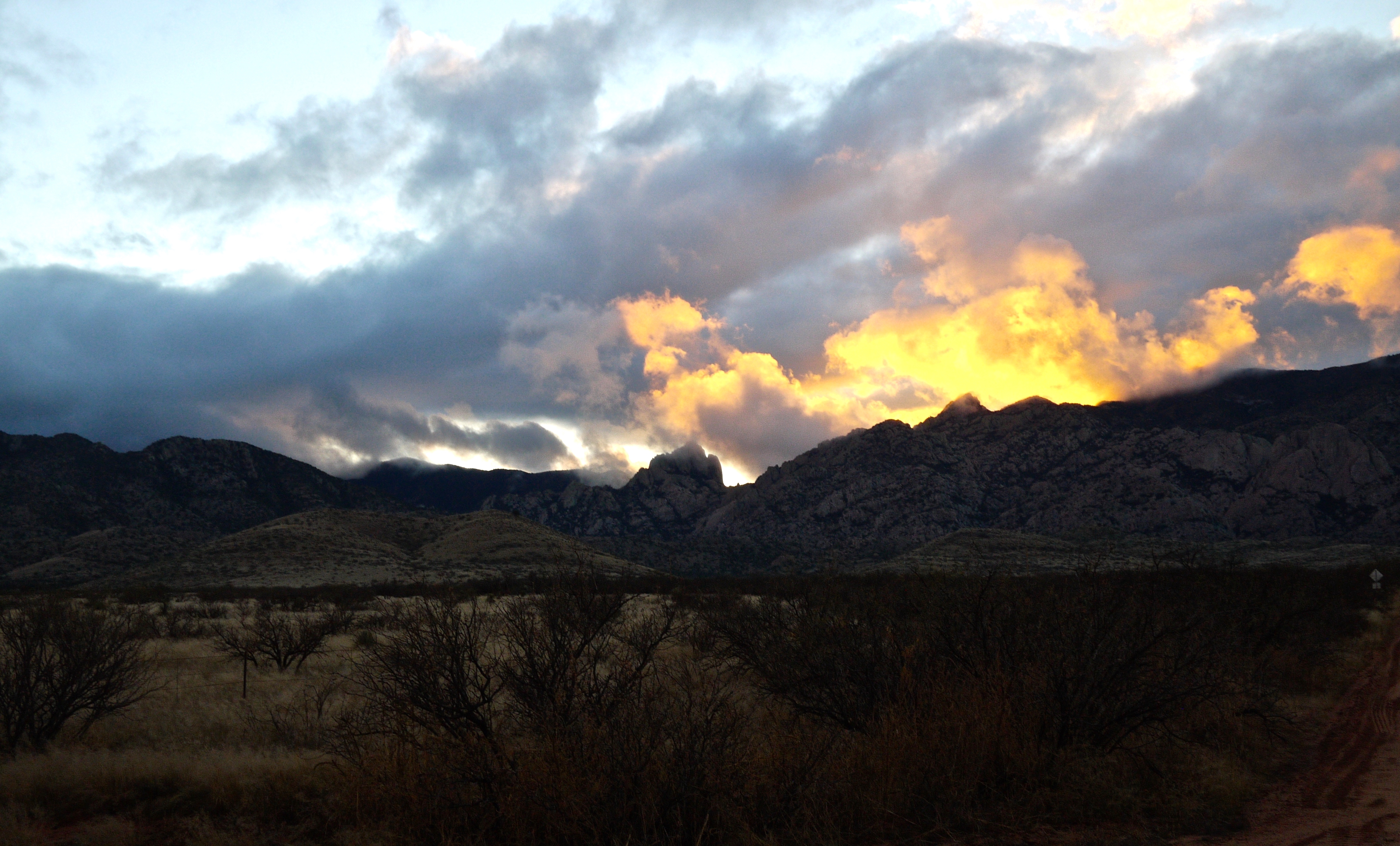
Epic Skyscape
Reaching Skyward
The Last Sanctuary

Rolling Thunder
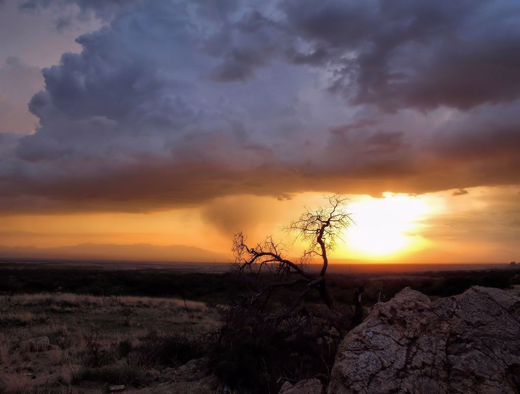
Stormy Horizon
Dragoon Storm
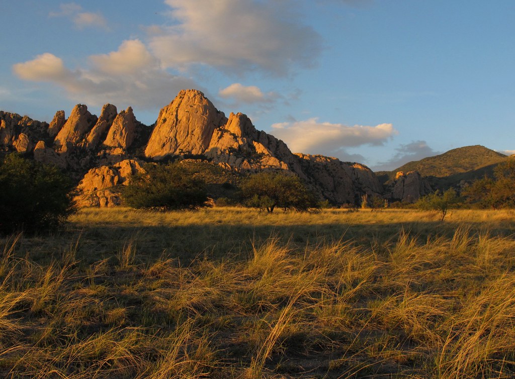
The Final Glow

Stormy Sundown

Distant Thunder

The Dragoons v2.0

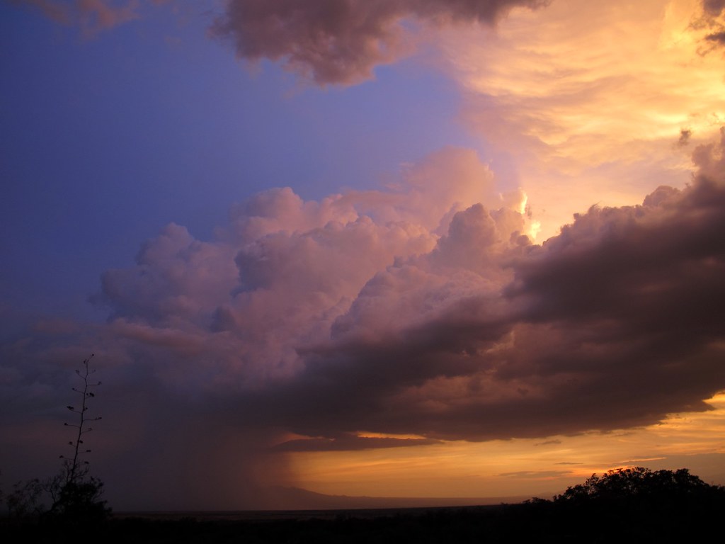
Sunset Cloudscape
Weather Report
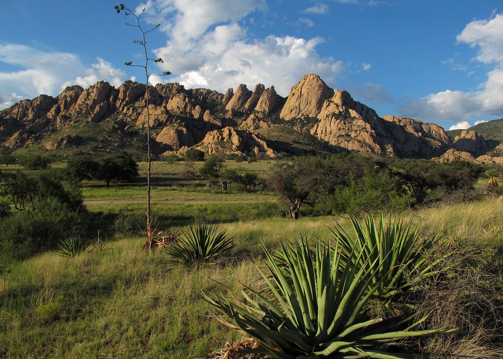
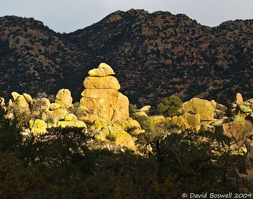
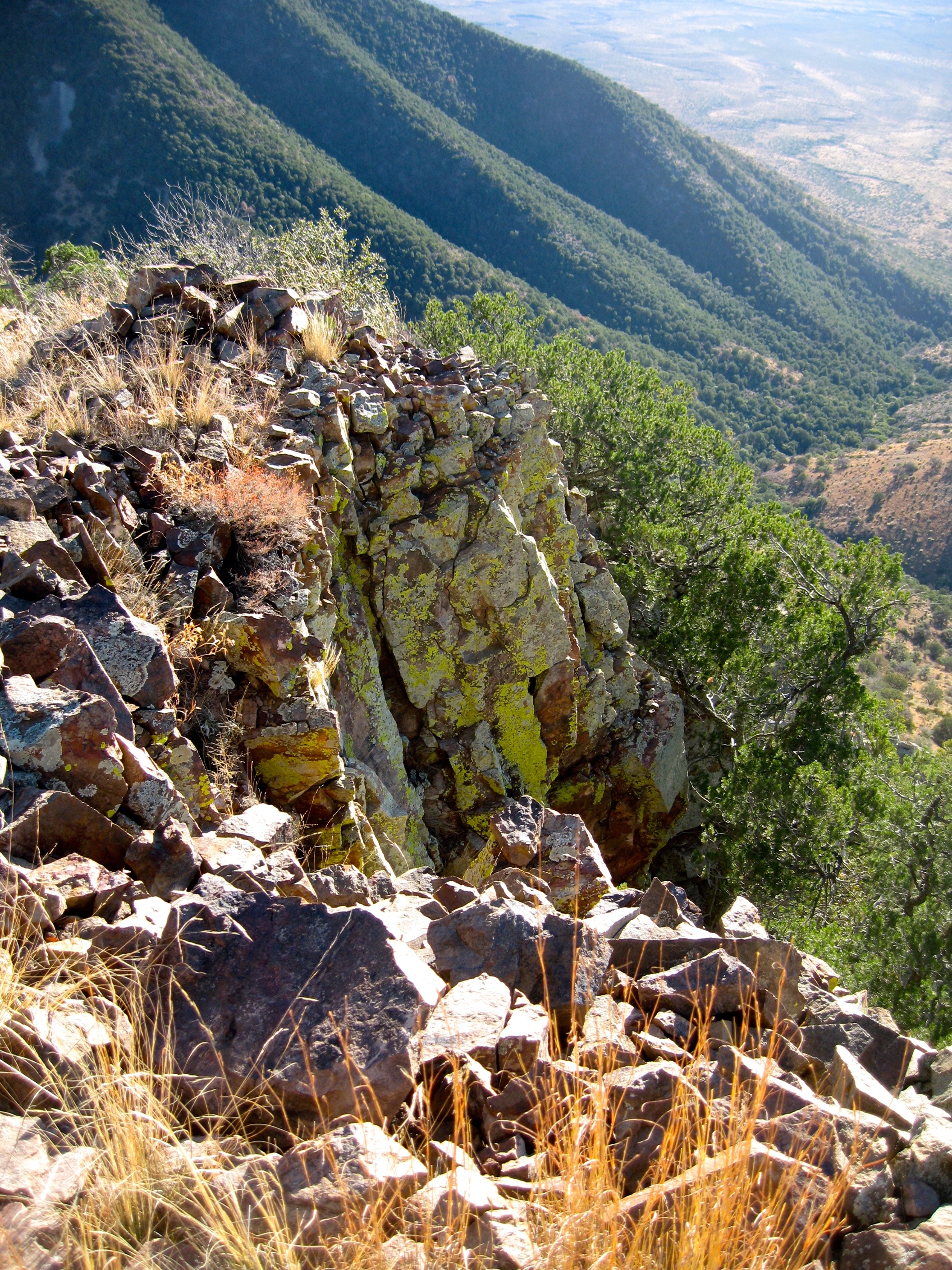
Cochise Strong Hold, Arizona

Cochise Stronghold
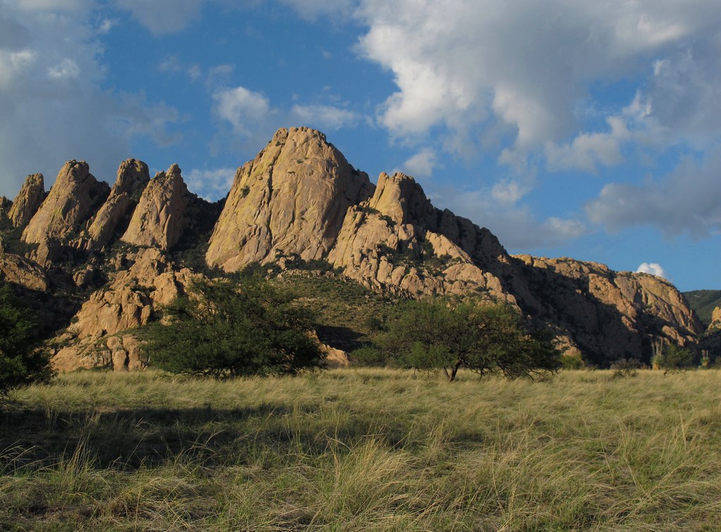
Cochise Stronghold 10
Cochise Stronghold 14
Cochise Stronghold
Cochise Stronghold 8
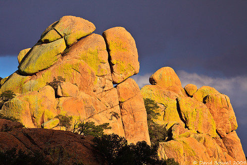
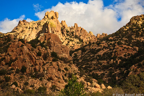
Black Diamond Crest
Cochise Stronghold 3
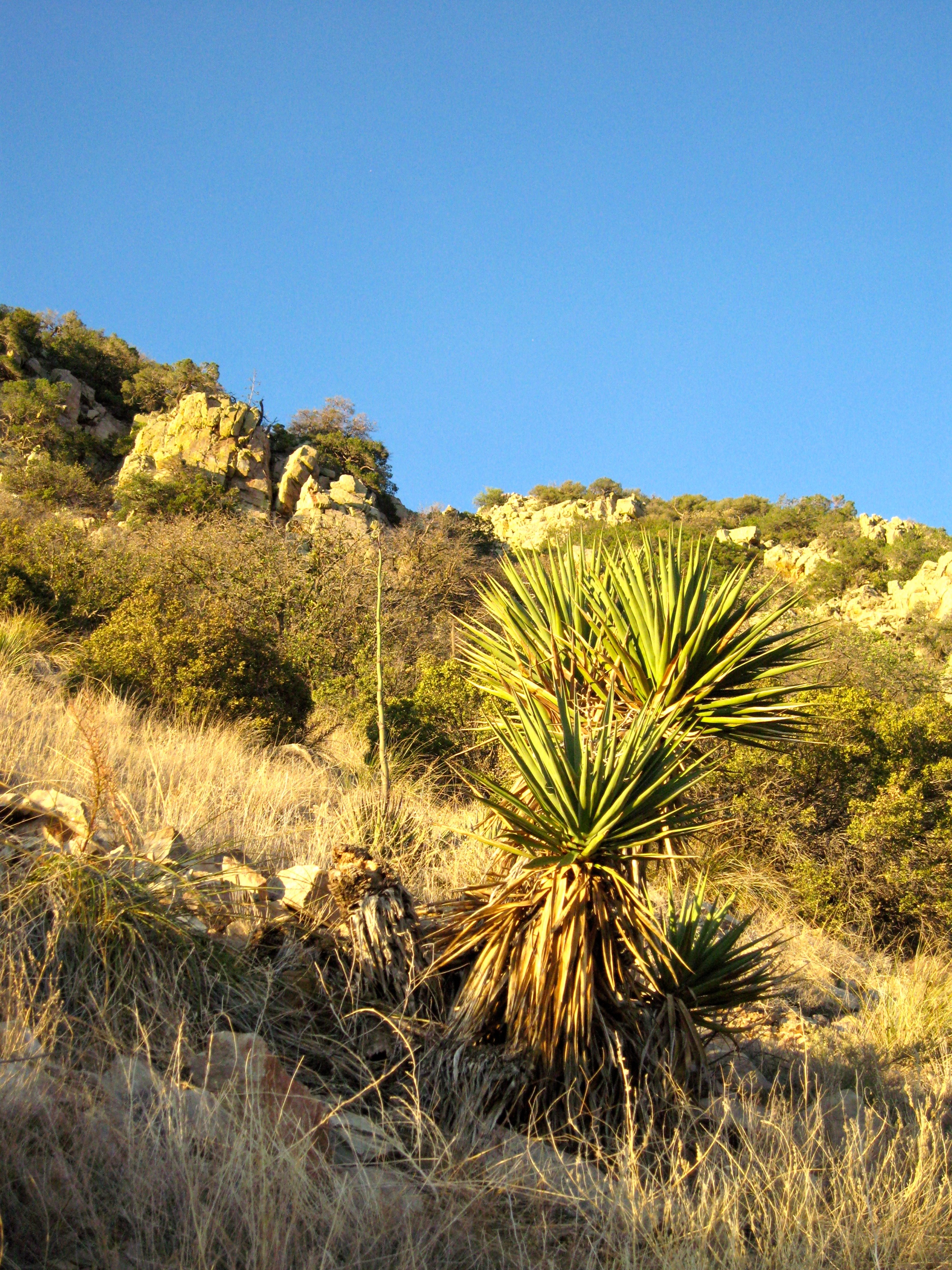
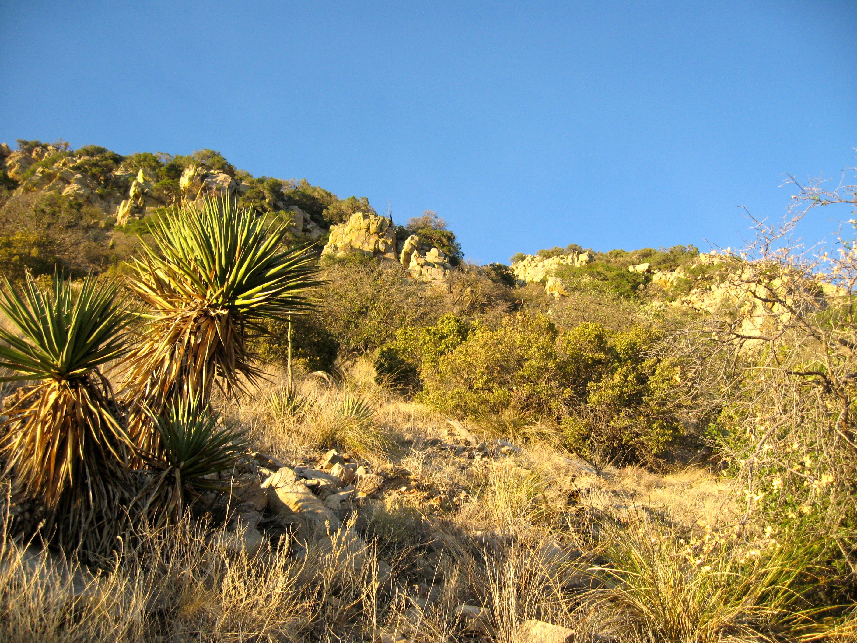
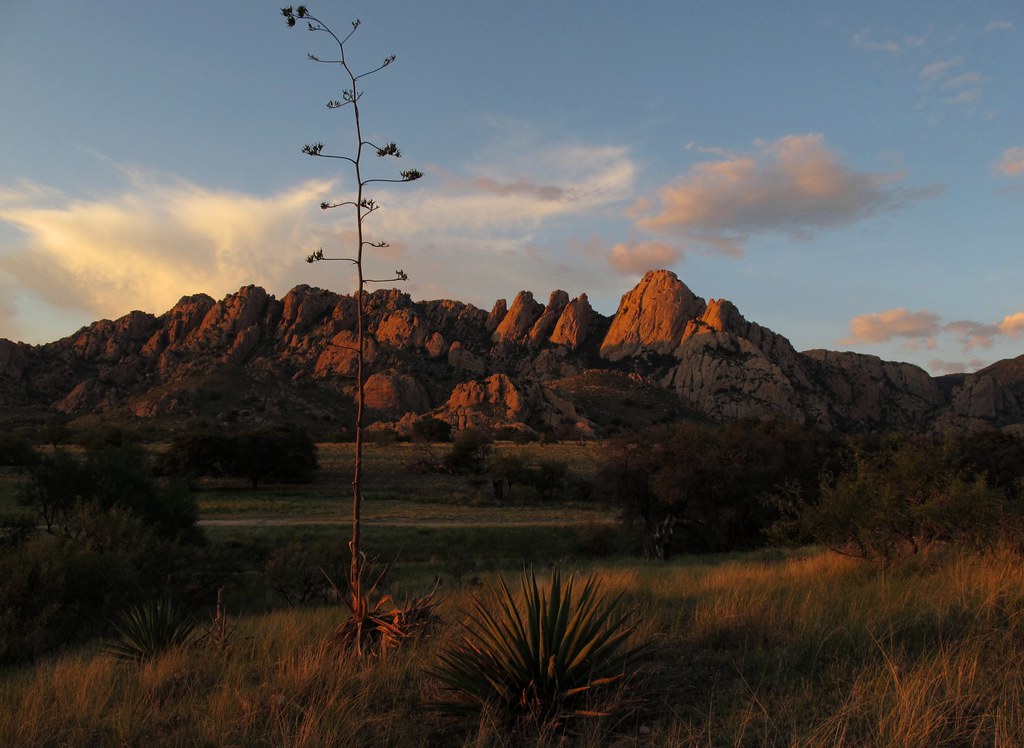
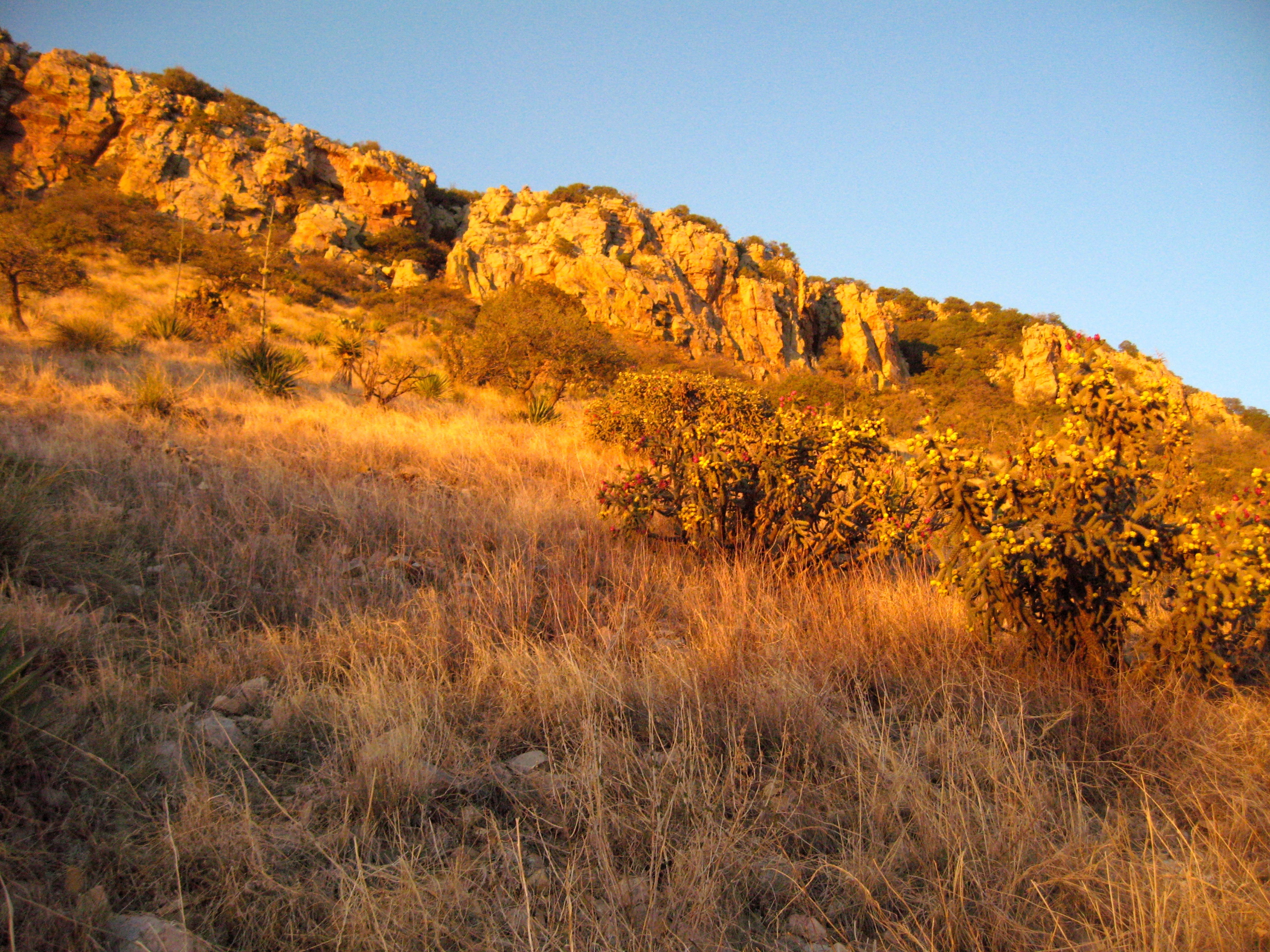
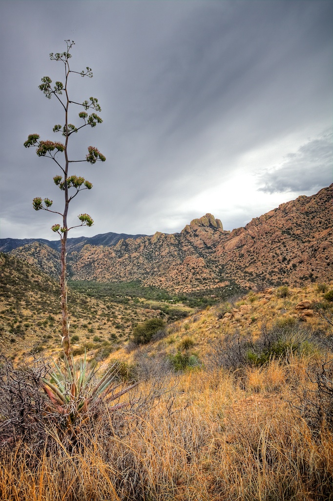
Yucca below the crest
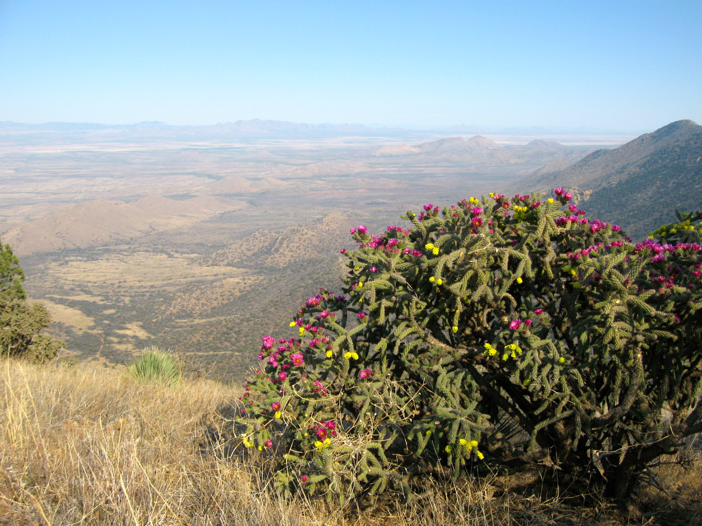
Walking-stick Cactus
Cochise Stronghold
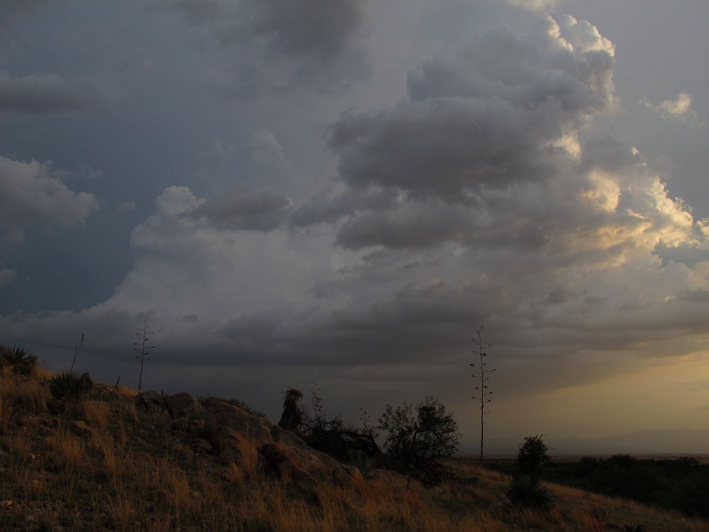
Monsoon Cloudscape
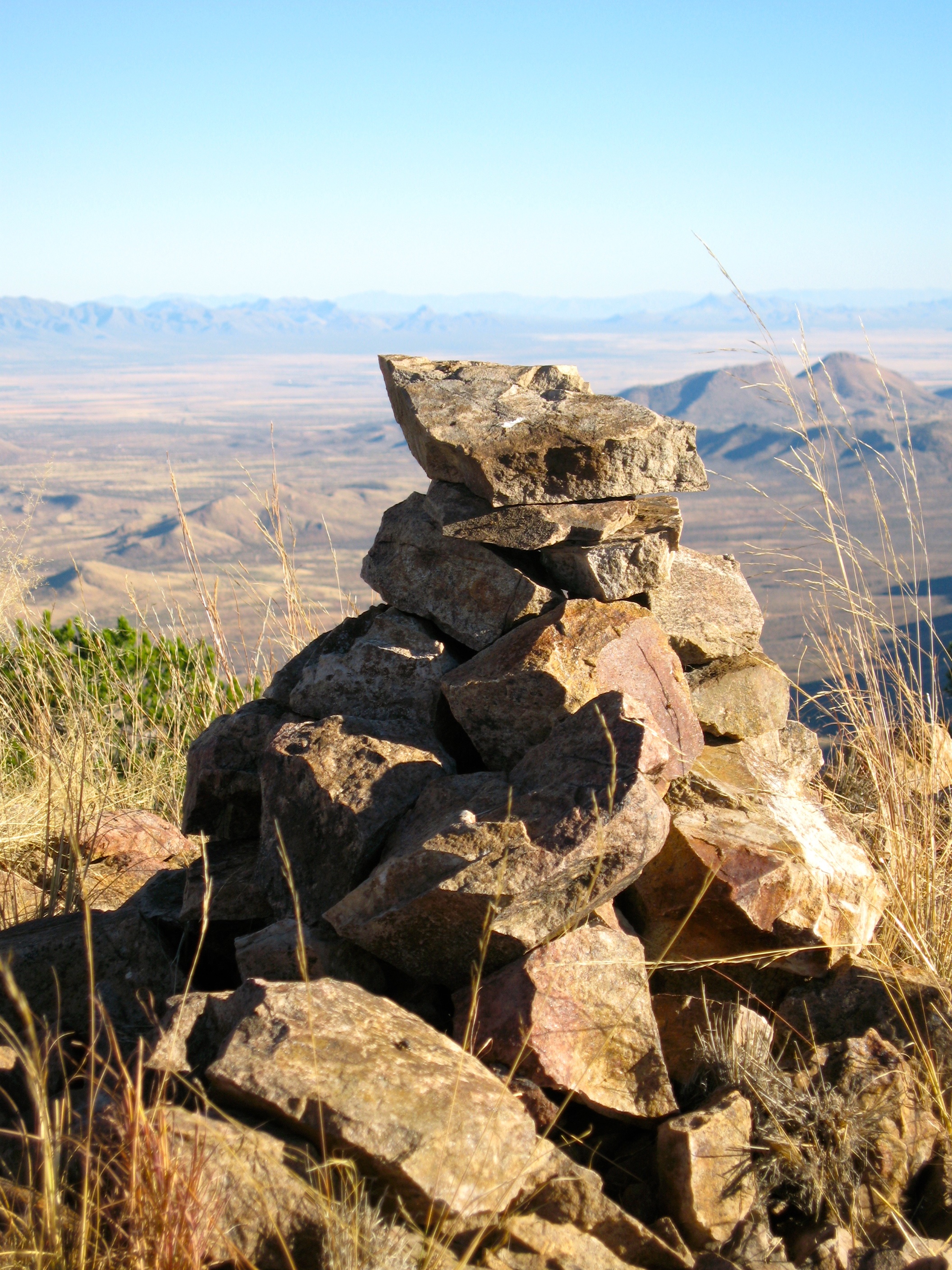
Cairn at the summit
Cochise Stronghold
Marble cliffs
Topographic Map of Justin St, Cochise, AZ, USA
Find elevation by address:

Places near Justin St, Cochise, AZ, USA:
1210 Justin St
1210 Justin St
1210 Justin St
Justin Street
766 March St
951 N Cactus Wren Ln
West Devon Street
1587 W Dream Catcher Way
123 Geronimo Way
1210 Justin Ct
123 N Ron Ln
123 N Ron Ln
123 N Ron Ln
1208 Justin Cir
213 N Tracy Rd
1110 E Geneva St
1113 E Irene St
1205 E Christmas Tree Ln
1210 Eastjustin St
210 N Ford St
Recent Searches:
- Elevation of Corso Fratelli Cairoli, 35, Macerata MC, Italy
- Elevation of Tallevast Rd, Sarasota, FL, USA
- Elevation of 4th St E, Sonoma, CA, USA
- Elevation of Black Hollow Rd, Pennsdale, PA, USA
- Elevation of Oakland Ave, Williamsport, PA, USA
- Elevation of Pedrógão Grande, Portugal
- Elevation of Klee Dr, Martinsburg, WV, USA
- Elevation of Via Roma, Pieranica CR, Italy
- Elevation of Tavkvetili Mountain, Georgia
- Elevation of Hartfords Bluff Cir, Mt Pleasant, SC, USA