Elevation of Juárez, Chis., Mexico
Location: Mexico > Chiapas >
Longitude: -93.192485
Latitude: 17.6069855
Elevation: 137m / 449feet
Barometric Pressure: 100KPa
Elevation Map:
Satellite Map:
Related Photos:
In my way to Teapa. México
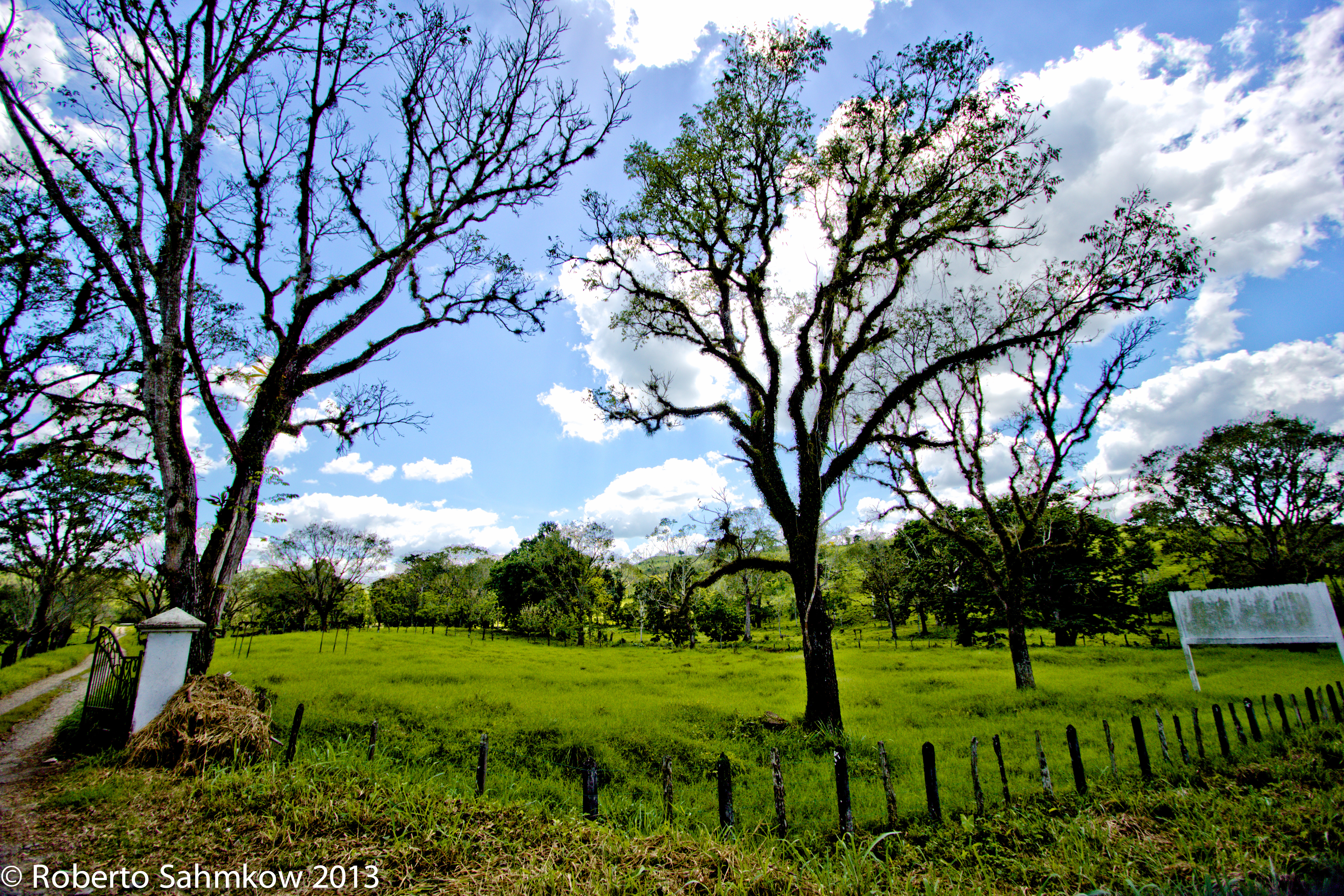
Somewhere between Teapa and Pichucalco. México
Regresando de la sesión de fotos en la sierra Chiapaneca #Pichucalco, la lluvia no nos detuvo!!

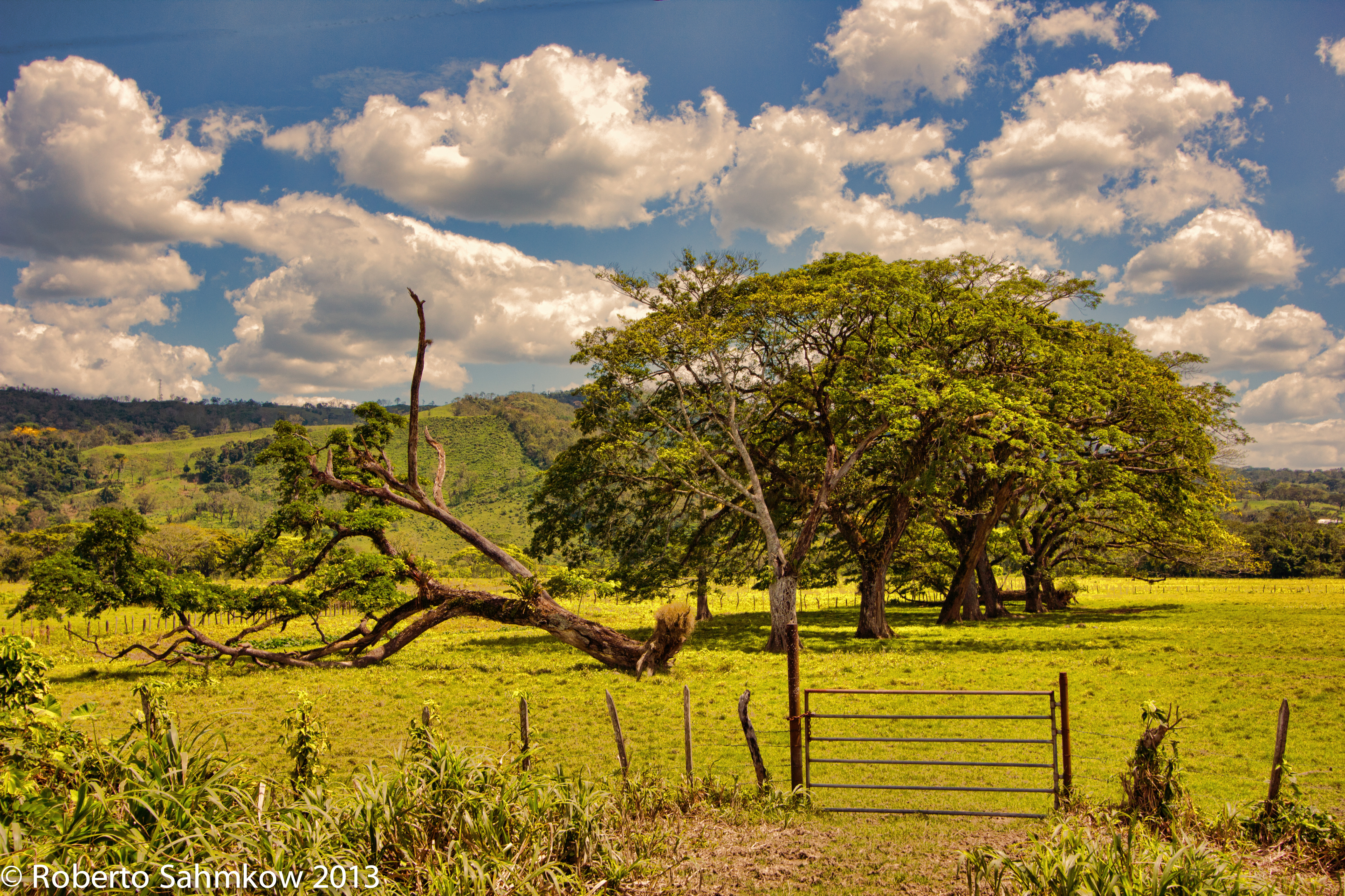
PAISAJE TEAPA. México

Crow on the tile roof

Mariposa technicolor
Milk facilities #instagram #instafine #instapic #iphonography #iphone #mywork #construction #chiapas

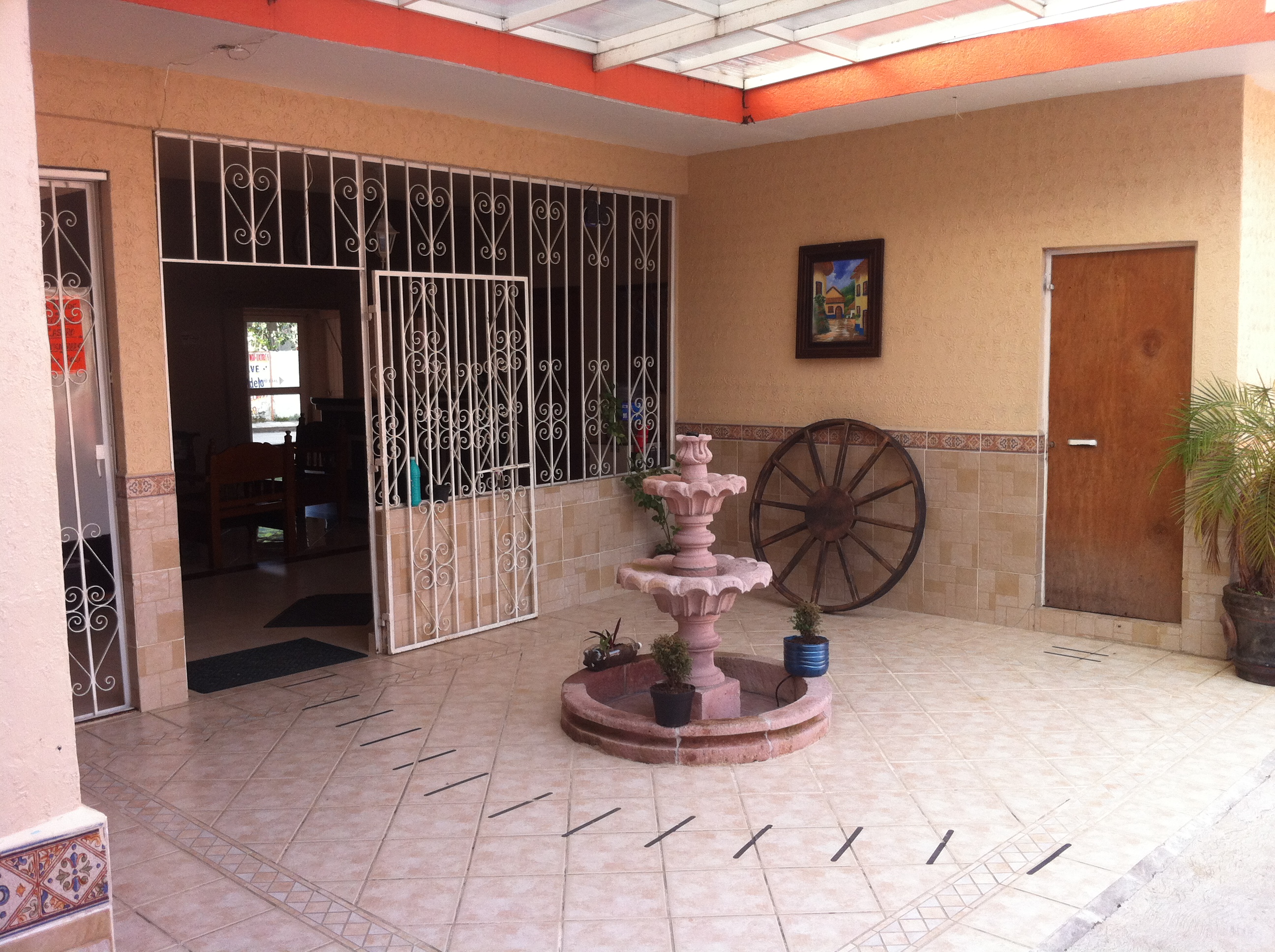
Recepción
la foto Fuente

Mujeres de San Cristobal / Foto: Rafa Velasco
Topographic Map of Juárez, Chis., Mexico
Find elevation by address:

Places in Juárez, Chis., Mexico:
Places near Juárez, Chis., Mexico:
Av. Benito Juárez 12, San Juanito, Juárez, Chis., Mexico
San Juanito
Teapa
Chichonal
Tacotalpa
Centro
Tacotalpa
Domingo Borrego 43, Centro, Tacotalpa, Tab., Mexico
Ocotepec
Tapilula
Primera Pte. Sur, Tapilula, Chis., Mexico
Juan XXIII, Parrilla 1ra. Secc., Parrilla, Parrilla, Tab., Mexico
Cárdenas
Villahermosa
Centro Municipality
Tecpatán
Jose Maria Pino Suarez
Tecpatán
San Lucía
Calle Central Sur Ote. 18, San Lucía, Tecpatán, Chis., Mexico
Recent Searches:
- Elevation of Corso Fratelli Cairoli, 35, Macerata MC, Italy
- Elevation of Tallevast Rd, Sarasota, FL, USA
- Elevation of 4th St E, Sonoma, CA, USA
- Elevation of Black Hollow Rd, Pennsdale, PA, USA
- Elevation of Oakland Ave, Williamsport, PA, USA
- Elevation of Pedrógão Grande, Portugal
- Elevation of Klee Dr, Martinsburg, WV, USA
- Elevation of Via Roma, Pieranica CR, Italy
- Elevation of Tavkvetili Mountain, Georgia
- Elevation of Hartfords Bluff Cir, Mt Pleasant, SC, USA