Elevation of Johnnie Dr, Bowman, SC, USA
Location: United States > South Carolina > Dorchester County >
Longitude: -80.558997
Latitude: 33.296375
Elevation: 47m / 154feet
Barometric Pressure: 101KPa
Elevation Map:
Satellite Map:
Related Photos:

Faded Feyd

View to the left after putting in

breakfast of champions
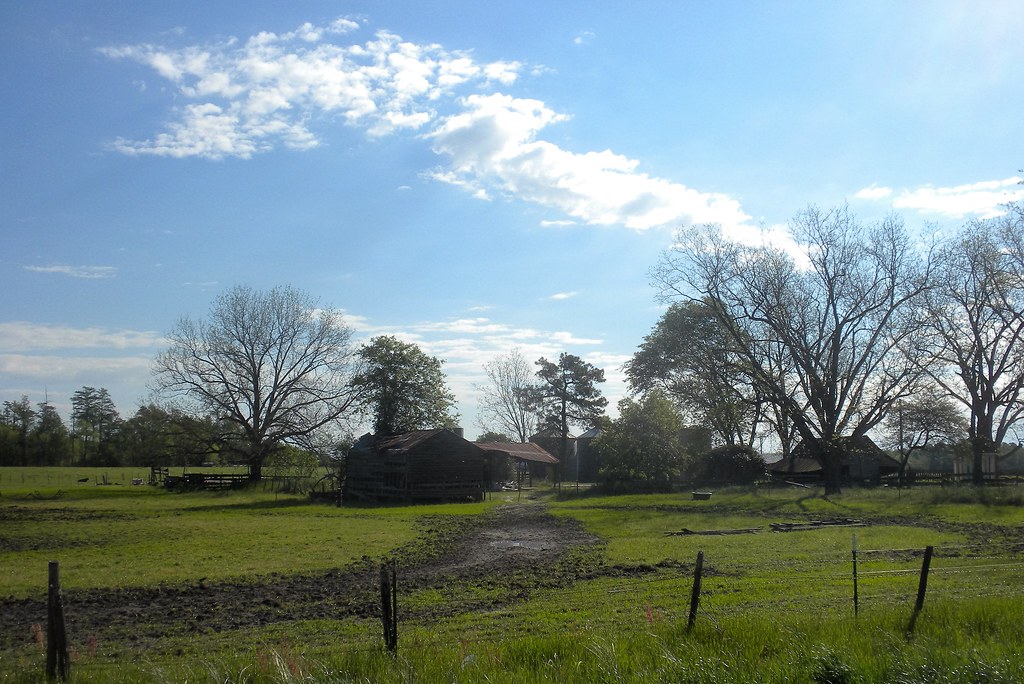
farm and dairy
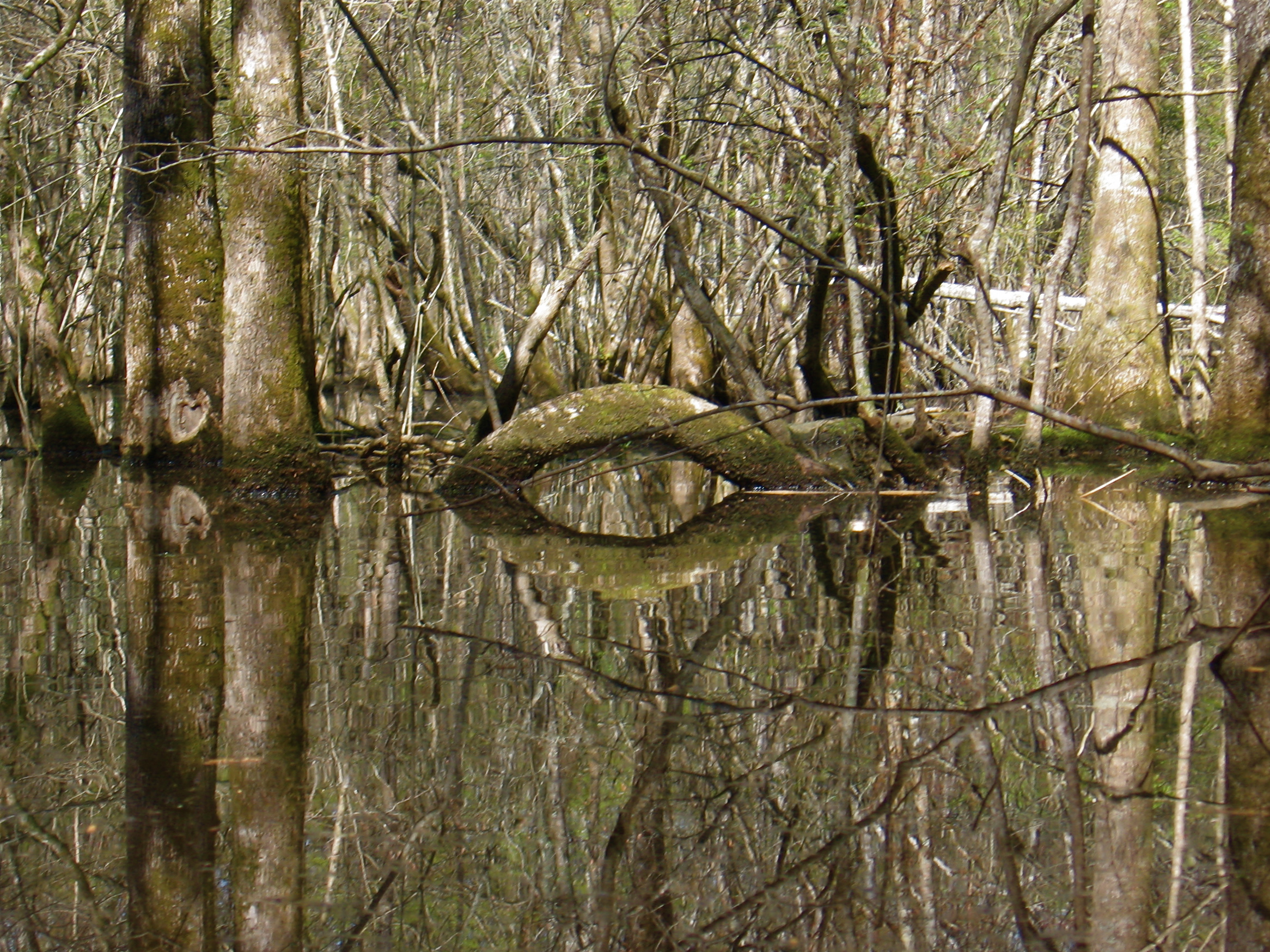
Trees with arch
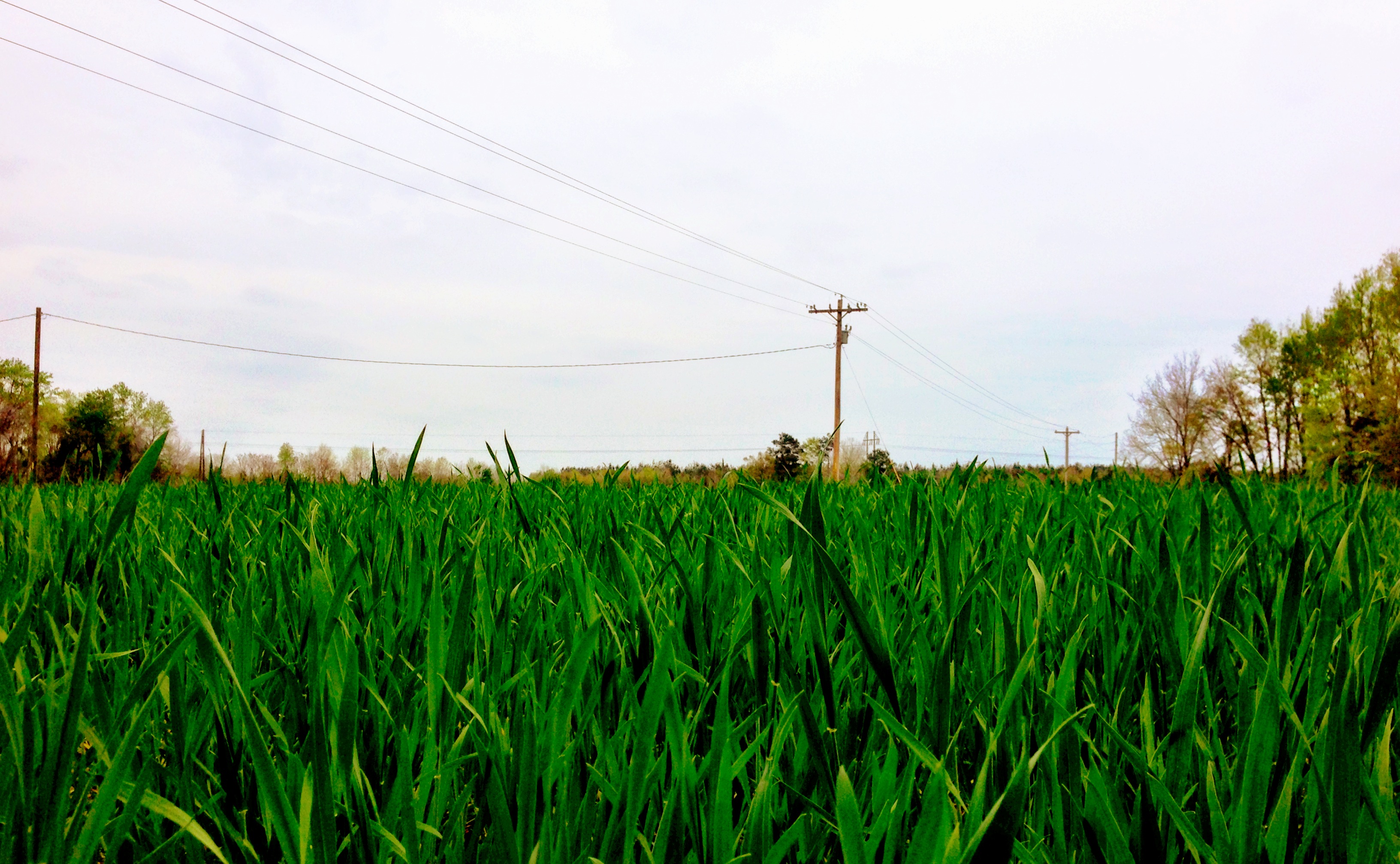
Green Wheat

Falling tree

Lodge to let, waterfront
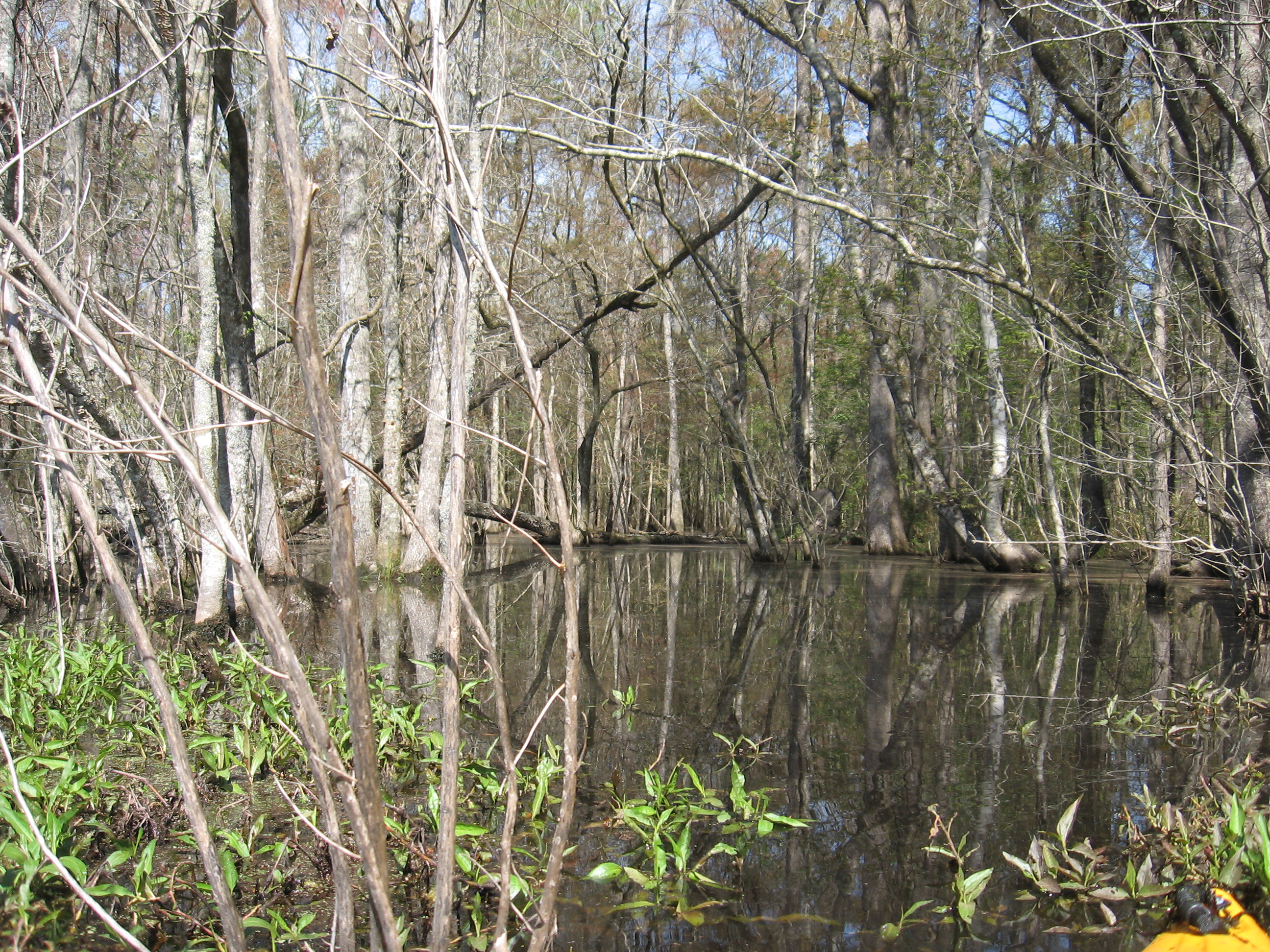
Putting in
Mossy log

Cabbage palm
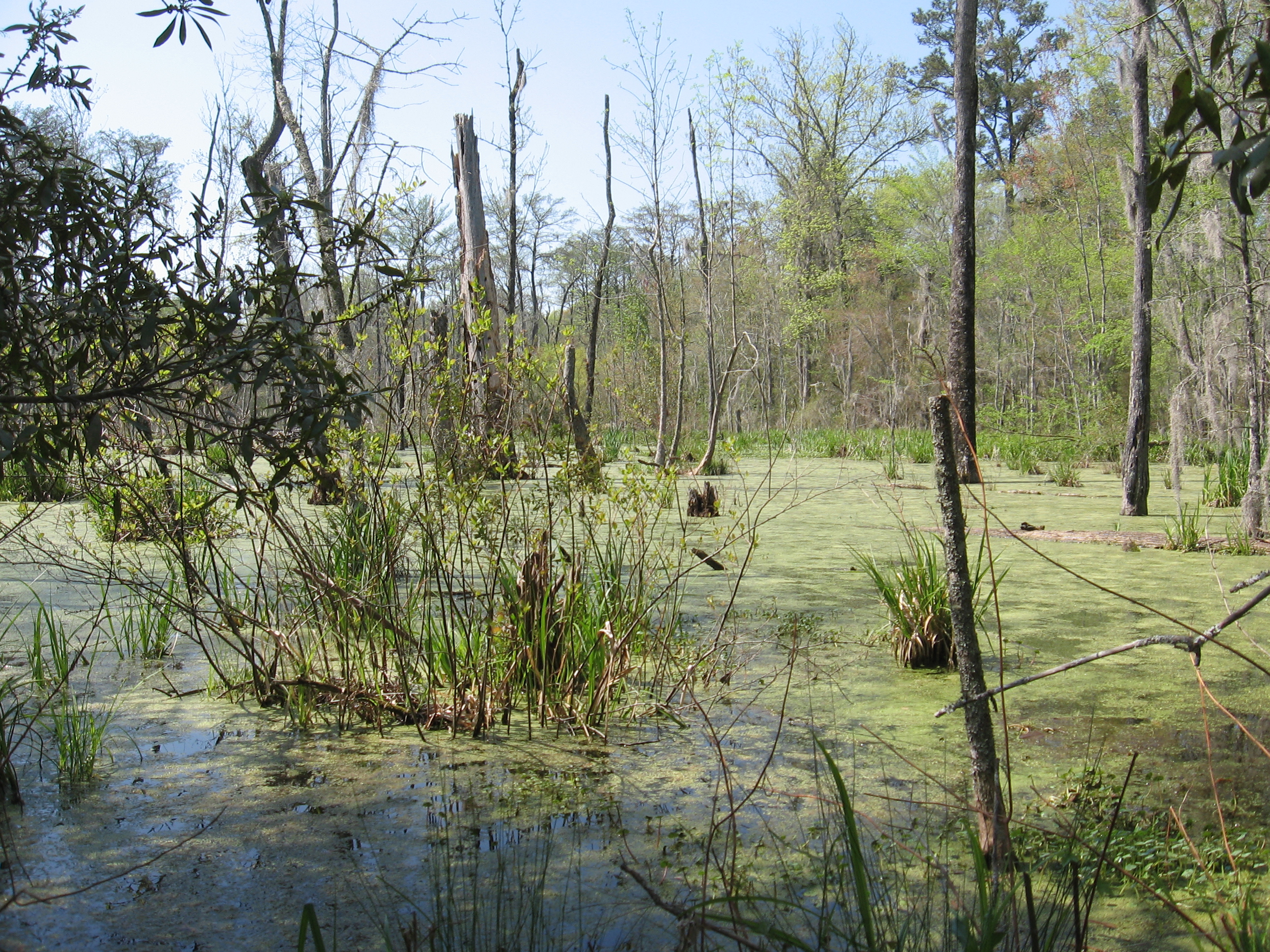
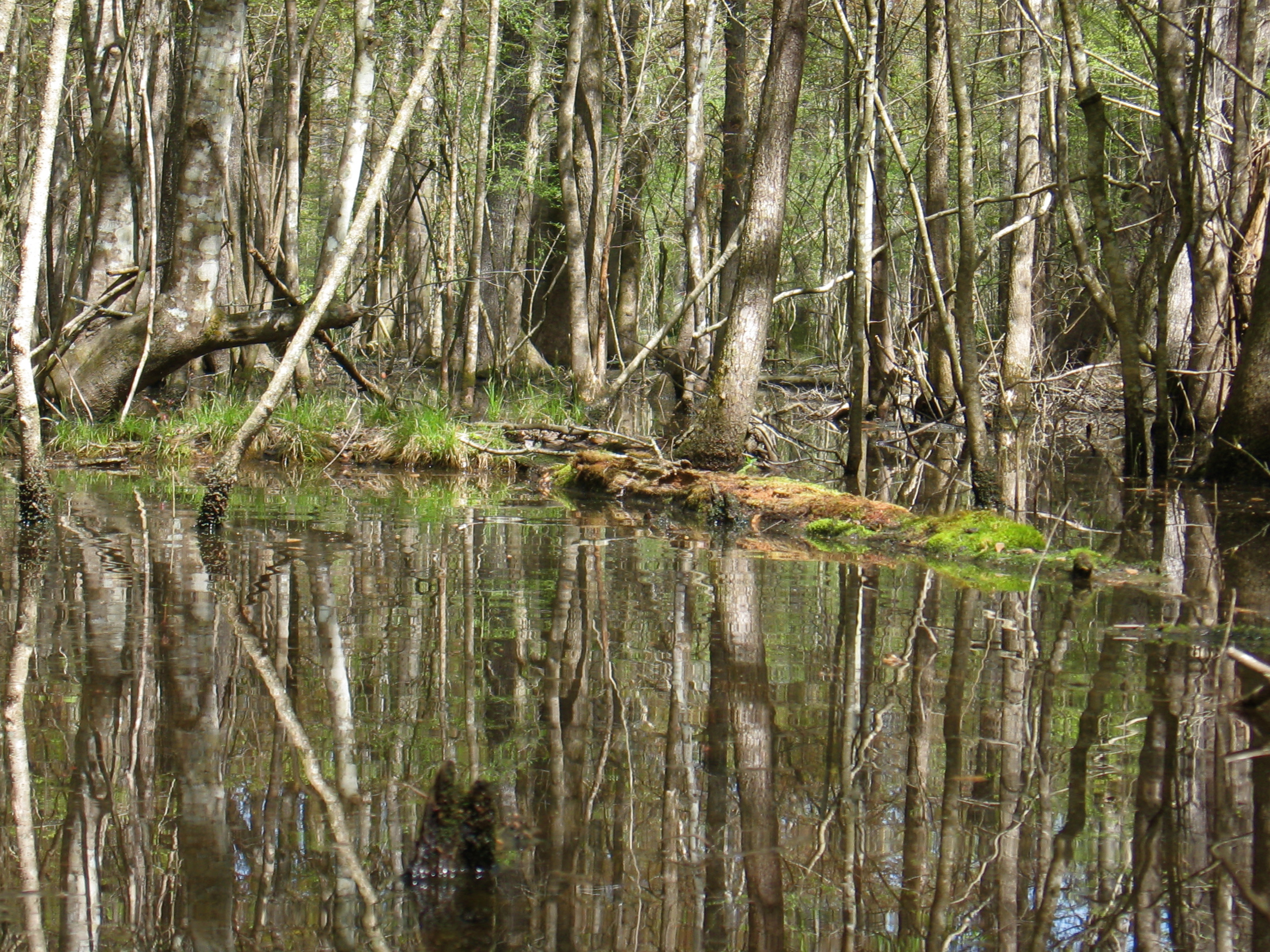
Entering the swamp
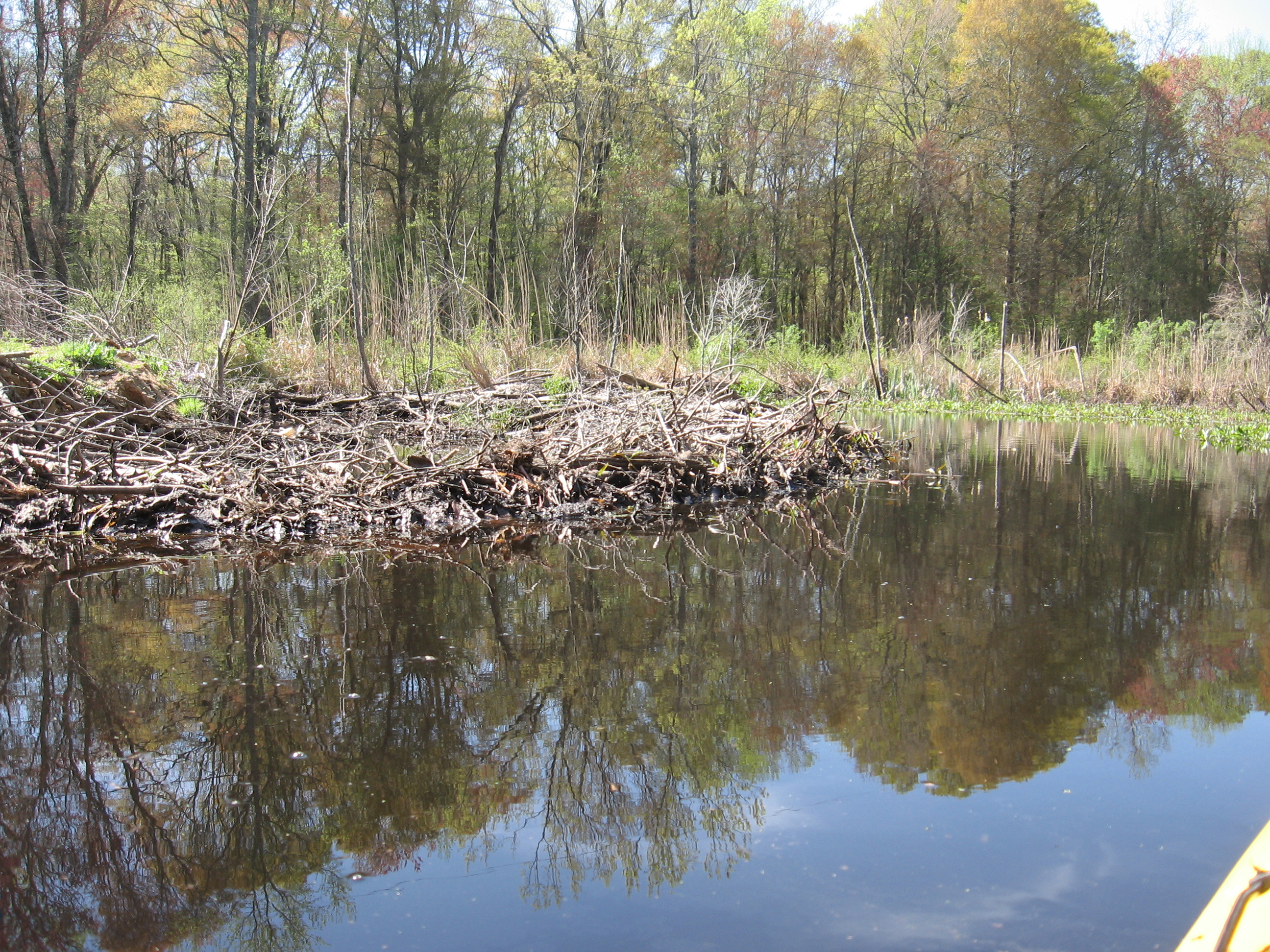
Beaver dam under the light line
Beaver dam
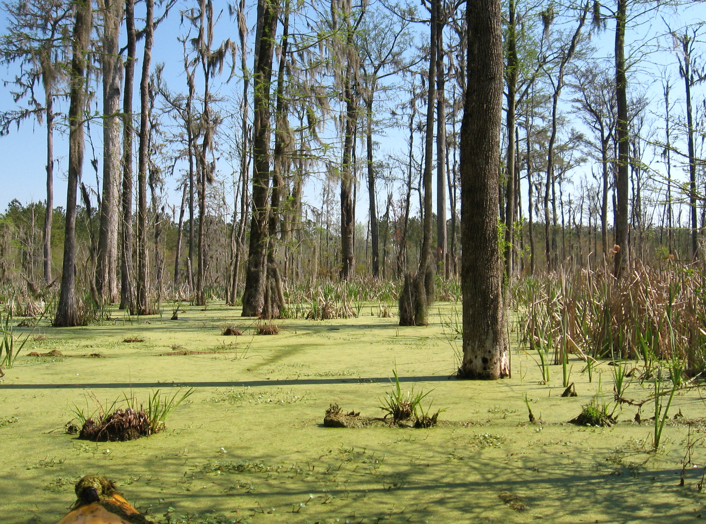
Sea of green

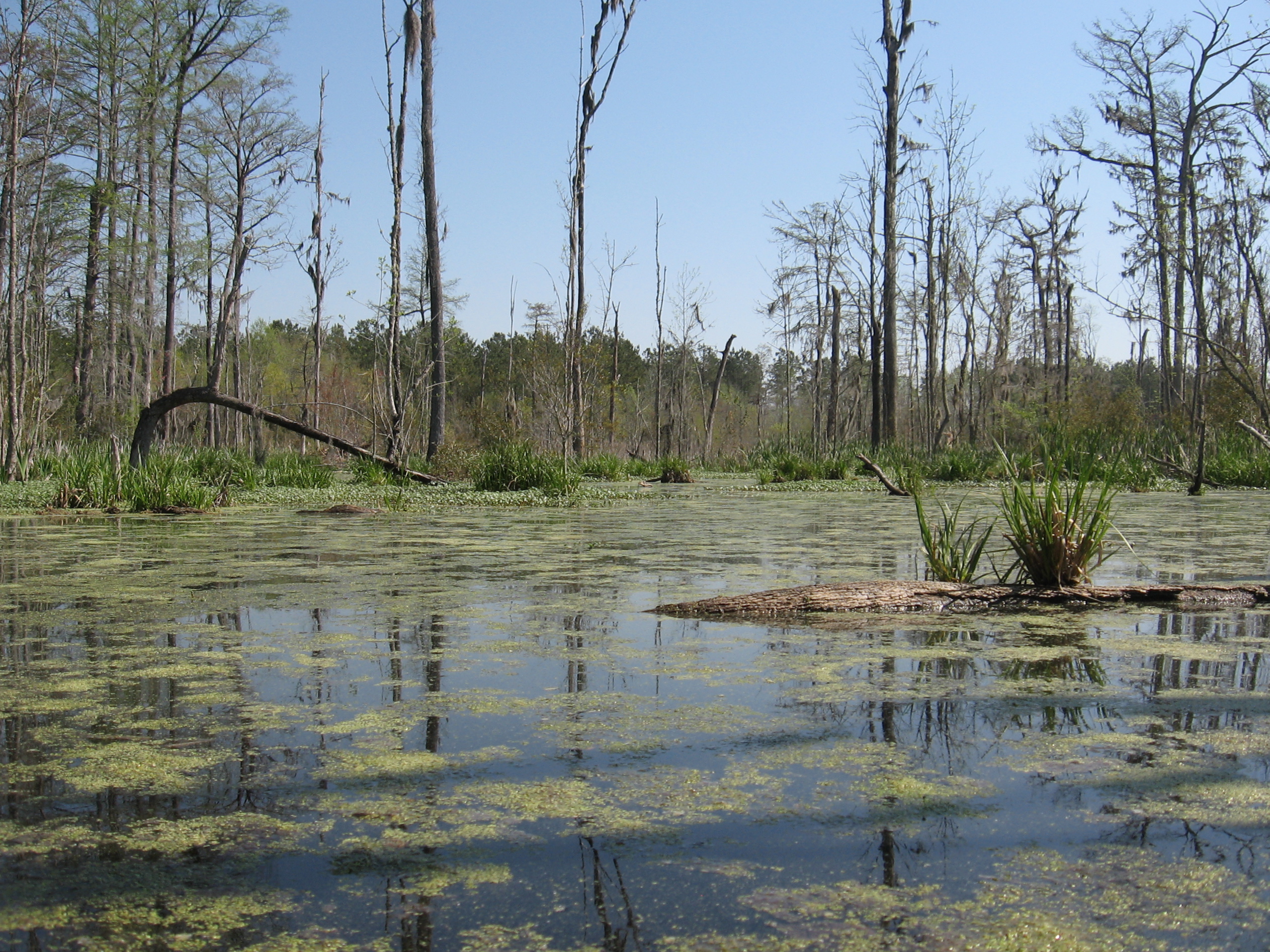
Beaver pond

Beaver dam
Topographic Map of Johnnie Dr, Bowman, SC, USA
Find elevation by address:

Places near Johnnie Dr, Bowman, SC, USA:
Huff Road
Mt Zion Rd, St George, SC, USA
4046 Vance Rd
Saint George
County Rd S-18-46, St George, SC, USA
7050 Old State Rd
Reevesville
Dorchester County
Harleyville
Holly Hill
5 Five Chop Rd, Elloree, SC, USA
Lois Ln, Dorchester, SC, USA
Broadcast Court
397 State Rd S-38-1376
2920 Bowman Branch Hwy
Santee
202 Autumn Run Rd
1041 Edisto River Rd
Family Medicine-elloree-santee: Carpenter Jr Richard L Md
Santee Drive
Recent Searches:
- Elevation of Corso Fratelli Cairoli, 35, Macerata MC, Italy
- Elevation of Tallevast Rd, Sarasota, FL, USA
- Elevation of 4th St E, Sonoma, CA, USA
- Elevation of Black Hollow Rd, Pennsdale, PA, USA
- Elevation of Oakland Ave, Williamsport, PA, USA
- Elevation of Pedrógão Grande, Portugal
- Elevation of Klee Dr, Martinsburg, WV, USA
- Elevation of Via Roma, Pieranica CR, Italy
- Elevation of Tavkvetili Mountain, Georgia
- Elevation of Hartfords Bluff Cir, Mt Pleasant, SC, USA