Elevation of Harleyville, SC, USA
Location: United States > South Carolina > Dorchester County >
Longitude: -80.447874
Latitude: 33.2146069
Elevation: 29m / 95feet
Barometric Pressure: 101KPa
Elevation Map:
Satellite Map:
Related Photos:

Faded Feyd

pressing a specimen
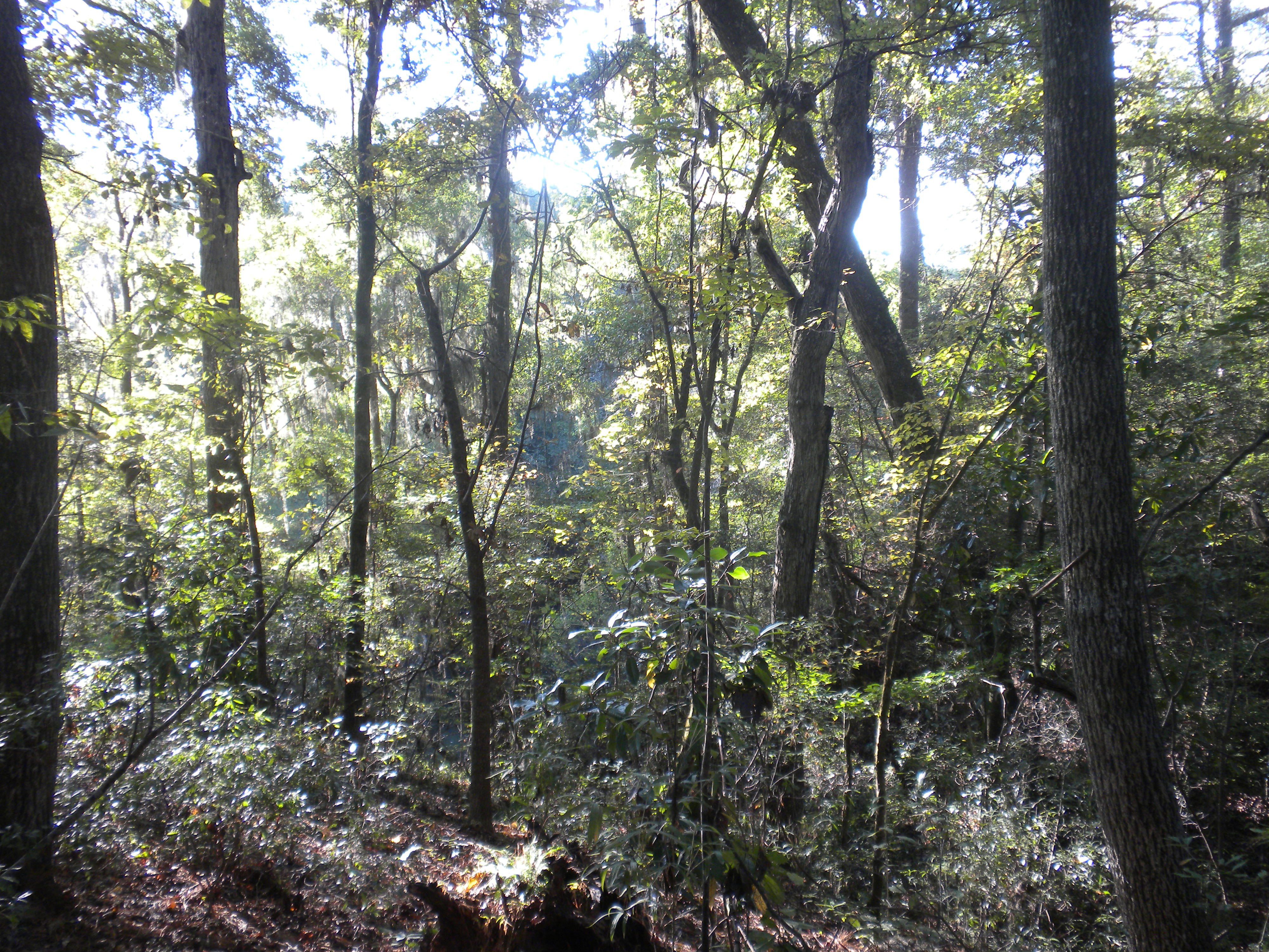
View to the left after putting in
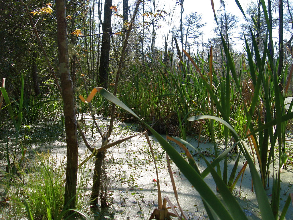
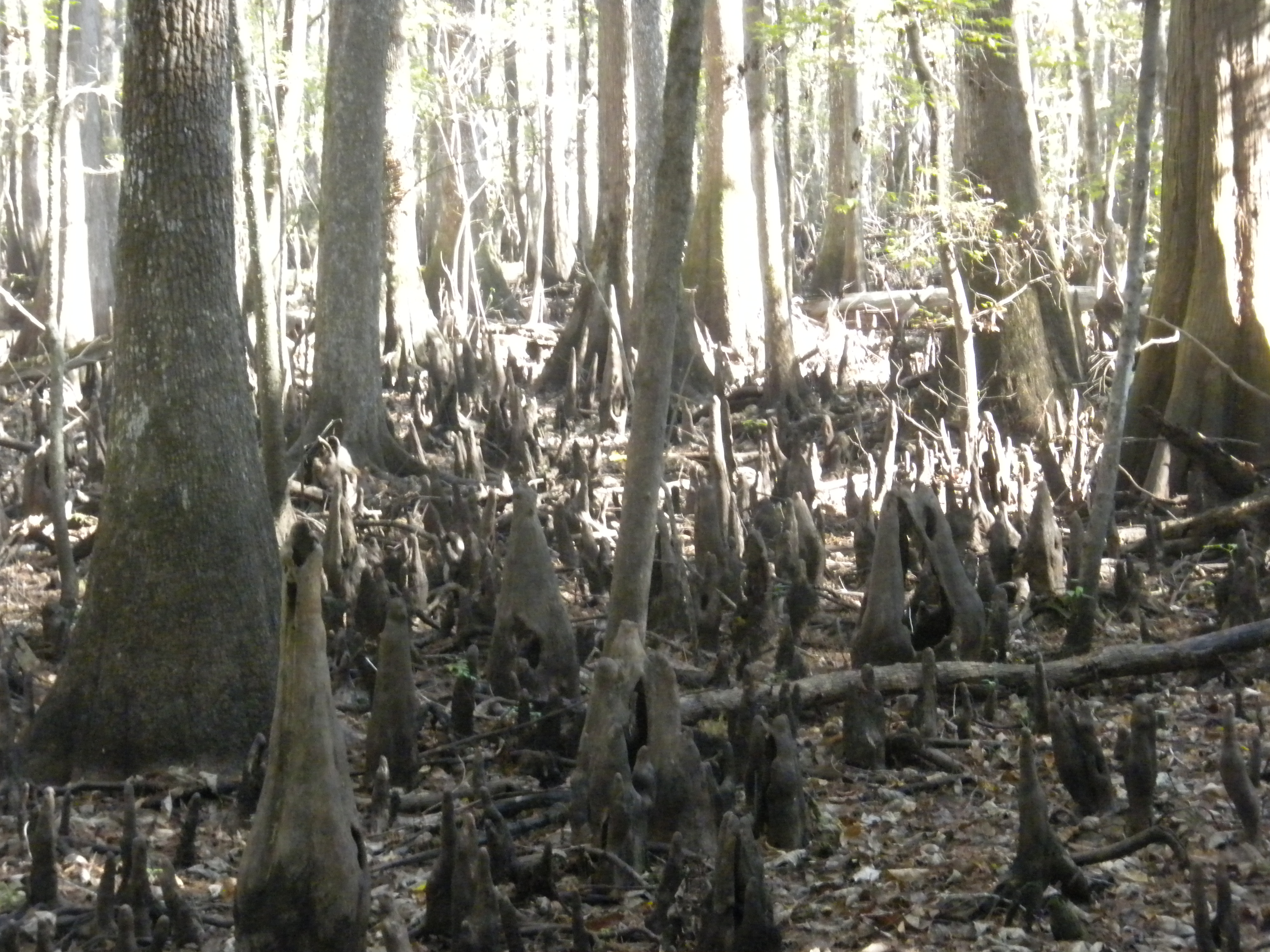
coastal plain ravine

boardwalk 1
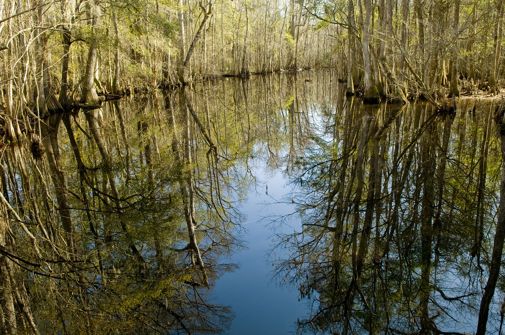
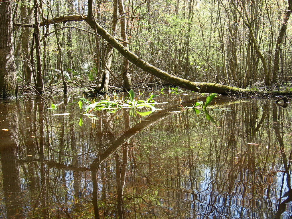
Reflections @ Four Holes Swamp, SC, USA
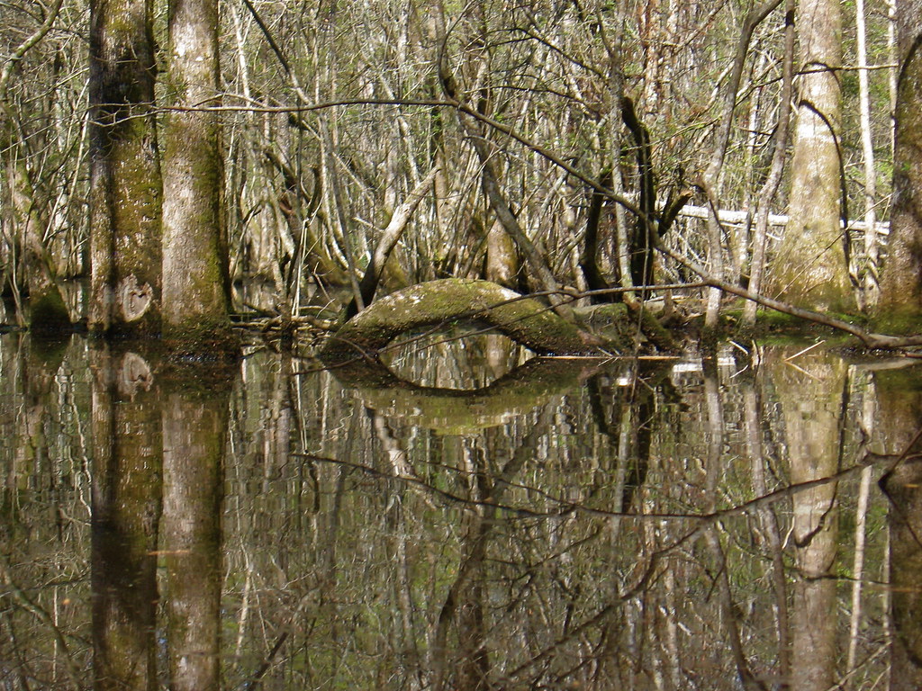
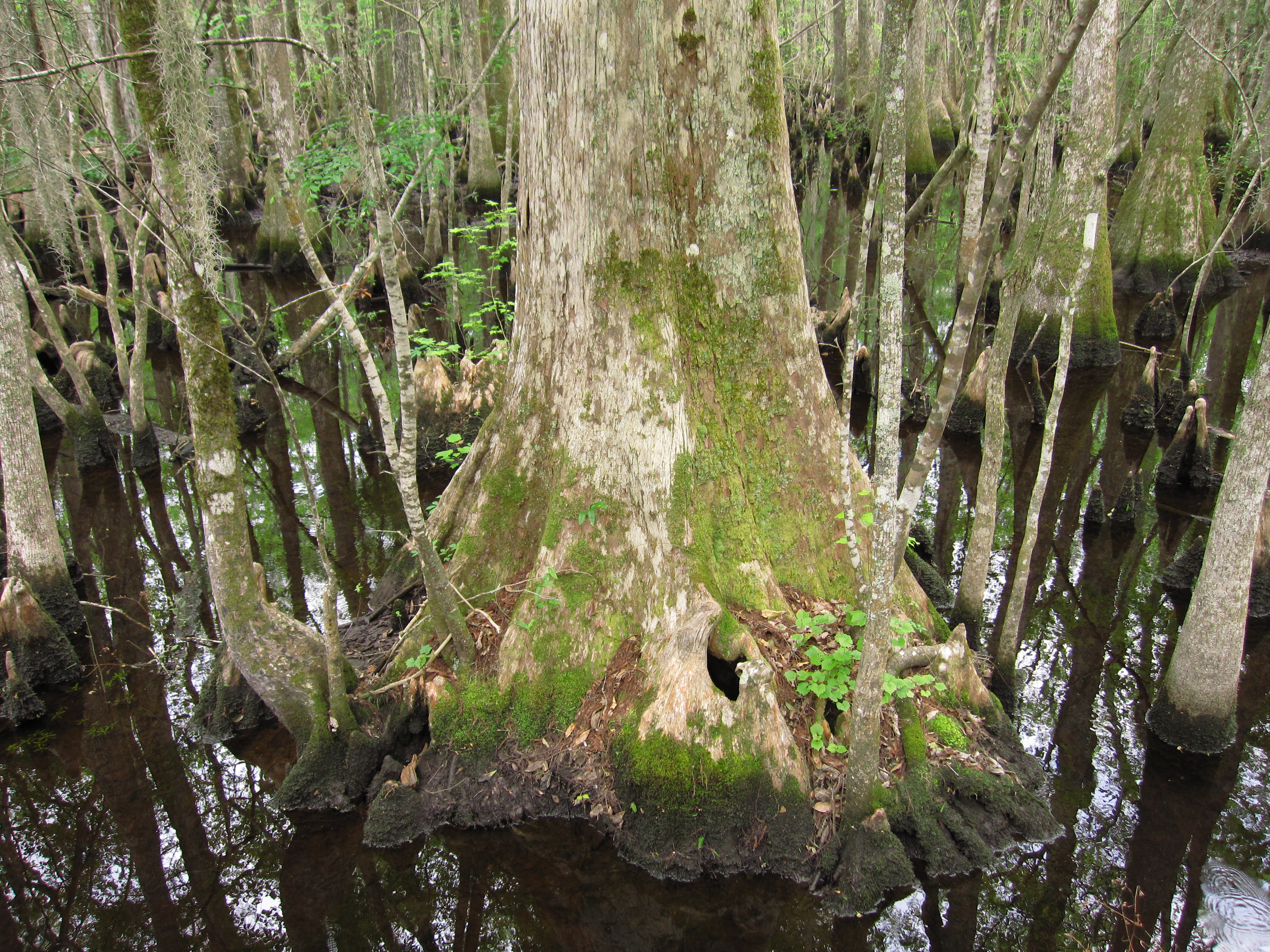
Trees with arch
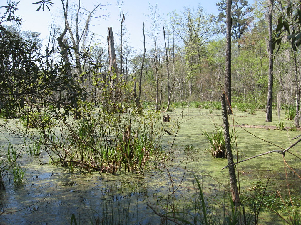
Beidler forest
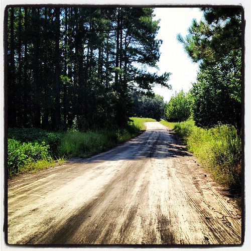
My Family Road
Falling tree
Putting in

God's Promise
Francis Beidler
Topographic Map of Harleyville, SC, USA
Find elevation by address:

Places near Harleyville, SC, USA:
Lois Ln, Dorchester, SC, USA
Dorchester
Broadcast Court
Dorchester County
Holly Hill
Old Gilliard Rd, Ridgeville, SC, USA
County Rd S-18-46, St George, SC, USA
Saint George
7050 Old State Rd
Johnnie Dr, Bowman, SC, USA
Mt Zion Rd, St George, SC, USA
Huff Road
397 State Rd S-38-1376
6 Badger Ln
Ridgeville
202 Autumn Run Rd
3020 Flat Rock Ln
2064 Briar Bend Rd
Coburn Town Road
4046 Vance Rd
Recent Searches:
- Elevation of Corso Fratelli Cairoli, 35, Macerata MC, Italy
- Elevation of Tallevast Rd, Sarasota, FL, USA
- Elevation of 4th St E, Sonoma, CA, USA
- Elevation of Black Hollow Rd, Pennsdale, PA, USA
- Elevation of Oakland Ave, Williamsport, PA, USA
- Elevation of Pedrógão Grande, Portugal
- Elevation of Klee Dr, Martinsburg, WV, USA
- Elevation of Via Roma, Pieranica CR, Italy
- Elevation of Tavkvetili Mountain, Georgia
- Elevation of Hartfords Bluff Cir, Mt Pleasant, SC, USA