Latitude: 36.2991054
Longitude: -82.1394539
Elevation: 673 meters / 2208 feet
Barometric Pressure 935KPa

Related Photos

Roan Highland Magic by Mark VanDyke Photography, Catawba Rhododendron Bloom in the Roan Highlands
Western North Carolina / Eastern Tennessee
Accessed
Roan Highland Magic by Mark VanDyke Photography
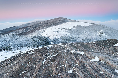
Appalachian Trail Roan Mountain Jane Bald Winter Scenic by Mark VanDyke Photography, Appalachian Trail Winter Scenic Through the Roan Highlands
Western North Carolina / Eastern Tennesse
Appalachian Trail Roan Mountain Jane Bald Winter Scenic by Mark VanDyke Photography
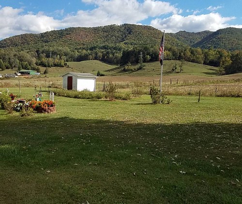
This is the backyard of where Jaime grew up. by manicsquirrel, instagramapp square squareformat iphoneography uploaded:by=instagram
This is the backyard of where Jaime grew up. by manicsquirrel
Roan Highlands Winter Scenic from Jane Bald by Mark VanDyke Photography, Winter Sunrise at Jane Bald in the Roan Highlands
Western North Carolina / Eastern Tennessee
Accesse
Roan Highlands Winter Scenic from Jane Bald by Mark VanDyke Photography
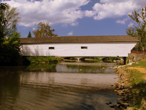
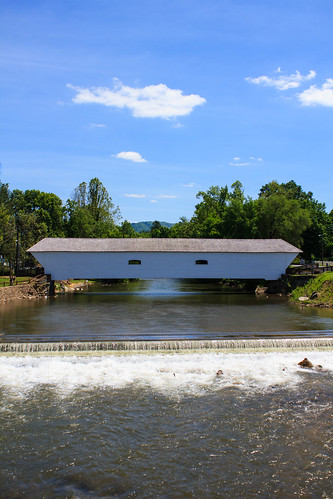
Doe River Covered Bridge by SeeMidTN.com (aka Brent), Built in 1882, this is the oldest covered bridge in Tennessee.

Constructed at a cost of $3,000 by c
Doe River Covered Bridge by SeeMidTN.com (aka Brent)
The World From the Top of Round Bald by snapdragginphoto, Standing at nearly 5800ft/1770m, the dry and clear blue sky in this image provides a detailed view i
The World From the Top of Round Bald by snapdragginphoto
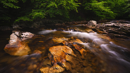
From The Shadows by Travis Rhoads, One of the images from my 2020 trip to the Roan Highlands. I wanted to shoot this scene in 2019, but
From The Shadows by Travis Rhoads
Carter County, TN Courthouse - Elizabethton, TN by J.L. Ramsaur Photography, Carter County was formed from Washington County.  In January 1796, delegates met at Knoxville for a
Carter County, TN Courthouse - Elizabethton, TN by J.L. Ramsaur Photography
Elizabethton Covered Bridge - Doe River - Elizabethton, Tennessee by J.L. Ramsaur Photography, Inscription on the nearby historical marker for this bridge:
This bridge over Doe River was built ea
Elizabethton Covered Bridge - Doe River - Elizabethton, Tennessee by J.L. Ramsaur Photography
Frosted Flakes by snapdragginphoto, Winter came to the North Carolina mountains in a big way this weekend. I attended the proceedings al
Frosted Flakes by snapdragginphoto
Old United States Post Office - Elizabethton, Tennessee by J.L. Ramsaur Photography, The Old U.S. Post Office in Elizabethton, Tennessee was nominated for listing on the National Regist
Old United States Post Office - Elizabethton, Tennessee by J.L. Ramsaur Photography
Watauga Lake - Cherokee National Forest - East Tennessee by J.L. Ramsaur Photography, Watauga Lake, nestled in the Appalachian Mountains and the Cherokee National Forest in northeastern
Watauga Lake - Cherokee National Forest - East Tennessee by J.L. Ramsaur Photography
The Bonnie Kate Theatre - Elizabethton, Tennessee by J.L. Ramsaur Photography, The Bonnie Kate Theatre in Downtown Elizabethton, Tennessee originally opened May 16, 1926. By 1955
The Bonnie Kate Theatre - Elizabethton, Tennessee by J.L. Ramsaur Photography
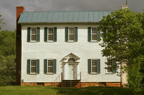
Sabine Hill by SeeMidTN.com (aka Brent), Note: this photo was taken in 2011 when the property was endangered and not open to the public. I to
Sabine Hill by SeeMidTN.com (aka Brent)
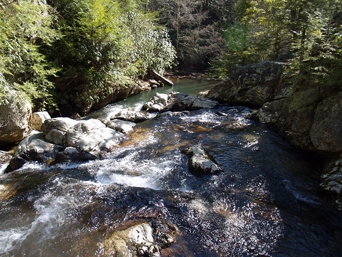
Zeb Spot by Onyx23, A crazy little spot called Zeptrees water creek forest river waterfall woods stream tennessee waterf
Zeb Spot by Onyx23
Fort Watauga - Sycamore Shoals State Historic Park - Elizabethton, Tennessee by J.L. Ramsaur Photography, Sycamore Shoals State Historic Park protects the land that was the location of several important his
Fort Watauga - Sycamore Shoals State Historic Park - Elizabethton, Tennessee by J.L. Ramsaur Photography
Sycamore Shoals State Historic Park sign - Elizabethton, Tennessee by J.L. Ramsaur Photography, Sycamore Shoals State Historic Park, established in 1976, is one of the most historically significan
Sycamore Shoals State Historic Park sign - Elizabethton, Tennessee by J.L. Ramsaur Photography
Watauga Lake by SeeMidTN.com (aka Brent), Watauga Lake is located in the mountainous region of far East Tennessee. (It is located between the
Watauga Lake by SeeMidTN.com (aka Brent)
Sycamore Shoals of the Watauga Historical Marker - Sycamore Shoals State Historic Park - Elizabethton, Tennessee by J.L. Ramsaur Photography, Sycamore Shoals State Historic Park, established in 1976, is one of the most historically significan
Sycamore Shoals of the Watauga Historical Marker - Sycamore Shoals State Historic Park - Elizabethton, Tennessee by J.L. Ramsaur Photography

Birchfiel Building (Ritz Theater) by SeeMidTN.com (aka Brent), From the Elizabethton, TN Walking Tour brchure:

"Originally one of four movie theaters in down
Birchfiel Building (Ritz Theater) by SeeMidTN.com (aka Brent)
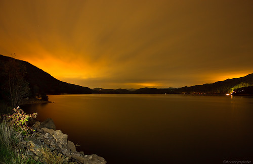
Watauga Lake at Night by Greg Booher, The clouds that interfered with my Milky Way photography last week. At least they made for an intere
Watauga Lake at Night by Greg Booher
Watauga Lake, Carter County, TN5 by chfstew, TN (Carter County)

Watauga Lake, nestled in the Appalachian Mountains and the Cherokee National For
Watauga Lake, Carter County, TN5 by chfstew
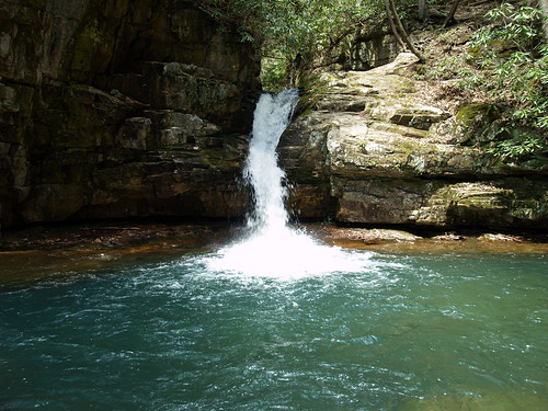
The Blue Hole by Onyx23, The magical land known to the special few as The Blue Hole, filled with many waterfalls and a great
The Blue Hole by Onyx23
Shook Branch Recreation Area, Hampton, TN by chfstew, Shook Branch Recreation Area is located on the southern shore of Watauga Lake in Carter County. This
Shook Branch Recreation Area, Hampton, TN by chfstew
Storefronts of Historic Elizabethton - Barnes Boring Hardware by SeeMidTN.com (aka Brent), These stores are seen along Elk Avenue.  From the brochure entitled the Elizabethton Walking Tour, w
Storefronts of Historic Elizabethton - Barnes Boring Hardware by SeeMidTN.com (aka Brent)
Shook Branch Recreation Area, Hampton, TN by chfstew, Hampton, TN (Carter County)

Shook Branch Recreation Area is located on the southern shore of Wataug
Shook Branch Recreation Area, Hampton, TN by chfstew
Watauga Lake by SeeMidTN.com (aka Brent), Watauga Lake is located in the mountainous region of far East Tennessee. (It is located between the
Watauga Lake by SeeMidTN.com (aka Brent)
Laurel Falls by waterfallshiker,
Laurel Falls by waterfallshiker
Watauga Lake Cove by SeeMidTN.com (aka Brent), Watauga Lake is located in the mountainous region of far East Tennessee. (It is located between the
Watauga Lake Cove by SeeMidTN.com (aka Brent)
Watauga Lake, Carter County, TN by chfstew, TN (Carter County)

Watauga Lake, nestled in the Appalachian Mountains and the Cherokee National For
Watauga Lake, Carter County, TN by chfstew
Watauga Lake, Carter County, TN3 by chfstew, TN (Carter County)

Watauga Lake, nestled in the Appalachian Mountains and the Cherokee National For
Watauga Lake, Carter County, TN3 by chfstew
Forest Road Trail by Dwayne Bradley, Across the road from the Visitor's Center, the Forest Road Trail begins its 2.7 mile journey through
Forest Road Trail by Dwayne Bradley
Watauga Lake by greer82496, View from the dam.appalachian watauga lake dam tennessee cherokee
Watauga Lake by greer82496
Watauga Lake, Carter County, TN2 by chfstew, TN (Carter County)

Watauga Lake, nestled in the Appalachian Mountains and the Cherokee National For
Watauga Lake, Carter County, TN2 by chfstew
Watauga Lake, Carter County, TN4 by chfstew, TN (Carter County)

Watauga Lake, nestled in the Appalachian Mountains and the Cherokee National For
Watauga Lake, Carter County, TN4 by chfstew
IMG_1482.jpg by tyfihi, tn tennessee
IMG_1482.jpg by tyfihi
Elizabethton's Covered Bridge by Chip Glover, The Covered Bridge over the Doe River in downtown Elizabethton, Tennessee.  The bridge was built in
Elizabethton's Covered Bridge by Chip Glover
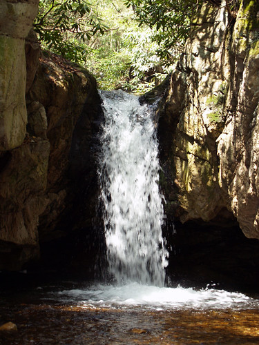
The Blue Hole by Onyx23, The magical land known to the special few as The Blue Hole, filled with many waterfalls and a great
The Blue Hole by Onyx23
Peg Leg Mine Trail by Dwayne Bradley, The Peg Leg Mine Trail is a short 0.4 mile trail that leads from the Visitor Center to the entrance
Peg Leg Mine Trail by Dwayne Bradley
Blue Hole Falls, Carter County, TN4 by chfstew, A series of four waterfalls located on Holston Mountain in the Stoney Creek community of Carter Coun
Blue Hole Falls, Carter County, TN4 by chfstew
Roan Mountain State Park Visitors Center, Carter County, TN by chfstew, Roan Mountain, TN (Carter County)

Roan Mountain State Park encompasses 2,006 acres of southern Appa
Roan Mountain State Park Visitors Center, Carter County, TN by chfstew
Watauga Dam, Carter County, TN2 by chfstew, Watauga Lake is a man-made reservoir built by the TVA (Tennessee Valley Authority) for flood prevent
Watauga Dam, Carter County, TN2 by chfstew
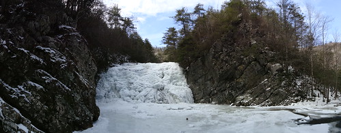
Laurel Fork Falls, Appalachian NST, Hampton, TN by chfstew, Hampton, TN (Carter County)laurelfork chfstew tennessee tncartercounty landscape appalachiantrail wa
Laurel Fork Falls, Appalachian NST, Hampton, TN by chfstew
Overlook on Chestnut Ridge Trail Panorama by Dwayne Bradley, At the end of the Chestnut Ridge Trail, there is an overlook with a nice view of the Highlands of th
Overlook on Chestnut Ridge Trail Panorama by Dwayne Bradley
Watauga Lake by Chip Glover, Watauga Lake in Hampton, Tennessee.day clear tva wataugalake hamptontennessee
Watauga Lake by Chip Glover
Pretty horsefly by cotinis, This fly was, perhaps, recently eclosed (emerged from its pupal case) and it could not fly, as one w
Pretty horsefly by cotinis
Raven Rock Overlook Panorama by Dwayne Bradley, Near the peak of Heaton Ridge along Raven Rock Trail, you come to this overlook that gives a decent
Raven Rock Overlook Panorama by Dwayne Bradley
Laurel Fork Falls by Tilebreaker, Laurel Falls, Monday July 6th, 2015. After several 5 days of rain, Monday's weather was sunny.  The
Laurel Fork Falls by Tilebreaker
Morning on the Watauga by bluebird218, The name for this river comes from the Creek Indian word "Wetoga" which means "broken
Morning on the Watauga by bluebird218
Mountains of Tennessee by bluebird218, These are part of the Appalachian Mountains. It's pronounced Appa-LATCH-un, not Appa-LAY-shun.
:-))t
Mountains of Tennessee by bluebird218
Pretty horsefly by cotinis, This fly was, perhaps, recently eclosed (emerged from its pupal case) and it could not fly, as one w
Pretty horsefly by cotinis
Appalachian Trail by greer82496, This view is north of Coon Den Falls Trail before decending into Dennis Cove.appalachian dennis cove
Appalachian Trail by greer82496
Laurel Fork Falls by greer82496, Becky and I 
appalachian laurel fork gorge waterfall brian becky cherokee tennessee
Laurel Fork Falls by greer82496
HA6! by cotinis, Happy Arachtober 6th, that is! This orbweaver spider was hanging out under a lighted wall at Roan Mo
HA6! by cotinis
laurelfalls by SpookyBoo Studios, Dennis Cove, Tn.longexposure canon unitedstates tennessee hampton ndfilter canonef24105mmf4lisusm ji
laurelfalls by SpookyBoo Studios
Roan Mtn SP insects by cotinis, I spent one late evening at Roan Mountain State Park (Tennessee, USA) checking for insects at lighte
Roan Mtn SP insects by cotinis
John T. Wilder House, Roan Mountain, TN by chfstew, **Wilder, John T., House** - National Register of Historic Places Ref # 86000400, date listed 198603
John T. Wilder House, Roan Mountain, TN by chfstew
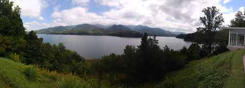
Watauga Lake, Carter County, TN2 by chfstew, Watauga Lake, nestled in the Appalachian Mountains and the Cherokee National Forest in northeastern
Watauga Lake, Carter County, TN2 by chfstew
Carter County, TN by chfstew, TN (Carter County)tncartercounty tennessee landscape chfstew
Carter County, TN by chfstew
HA6! by cotinis, Happy Arachtober 6th, that is! This orbweaver spider was hanging out under a lighted wall at Roan Mo
HA6! by cotinis