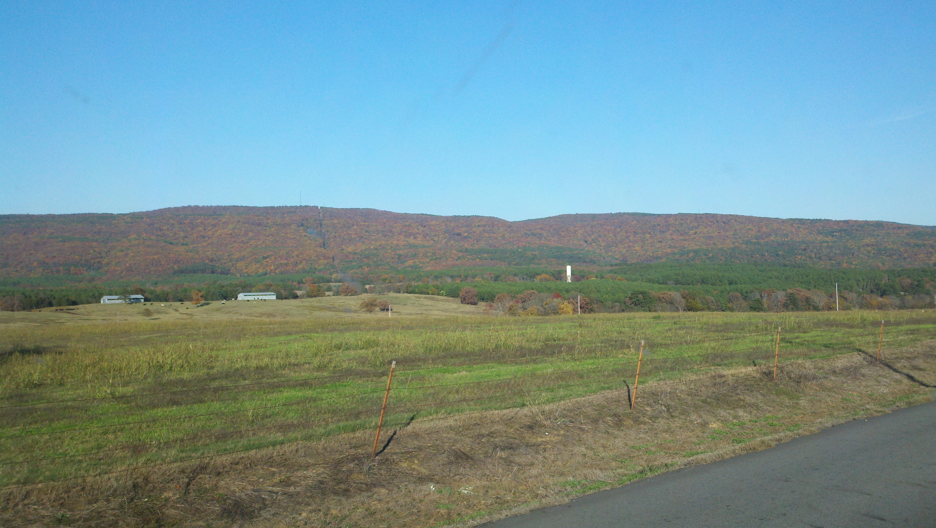
Elevation of Jerusalem, AR, USA
Location: United States > Arkansas > Conway County > Griffin Township >
Longitude: -92.816833
Latitude: 35.4048027
Elevation: 231m / 758feet
Barometric Pressure: 99KPa
Elevation Map:
Satellite Map:
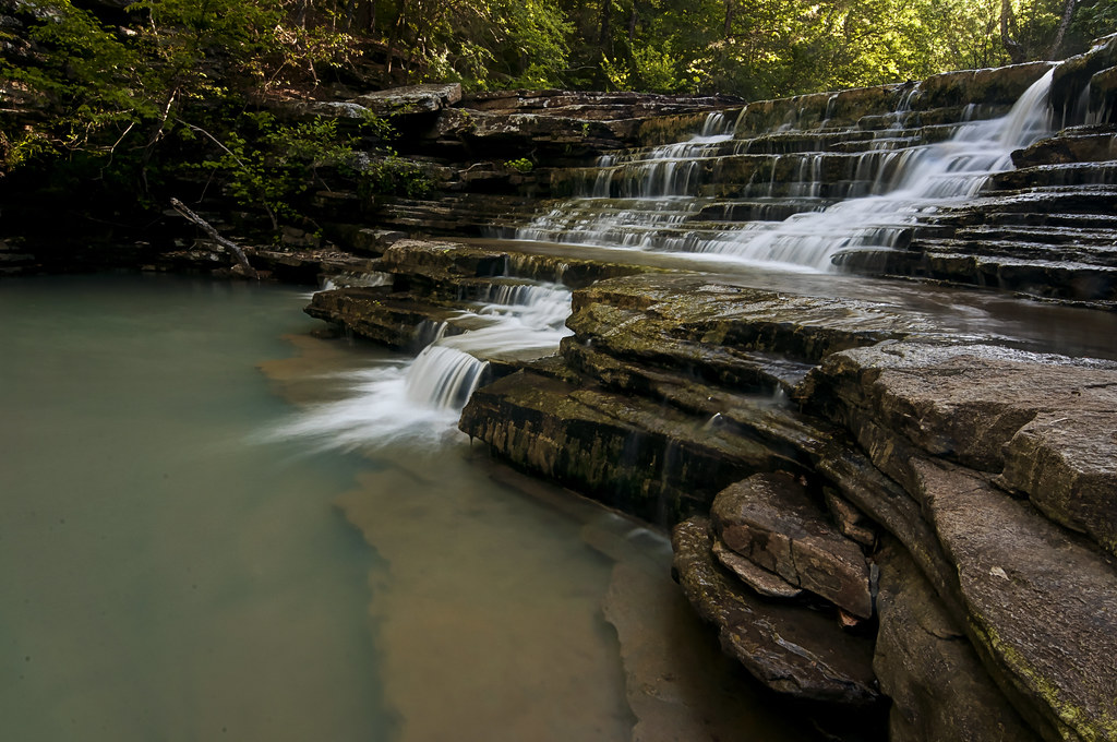
Related Photos:
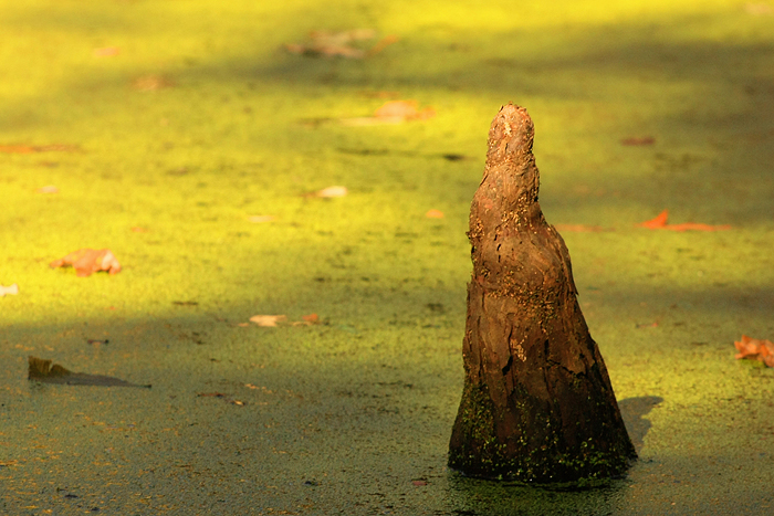
Goose Pond - Cypress Knee

Isabell Creek-Side View
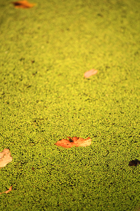
Goose Pond - Solid Water 2
Goose Pond - Solid Water

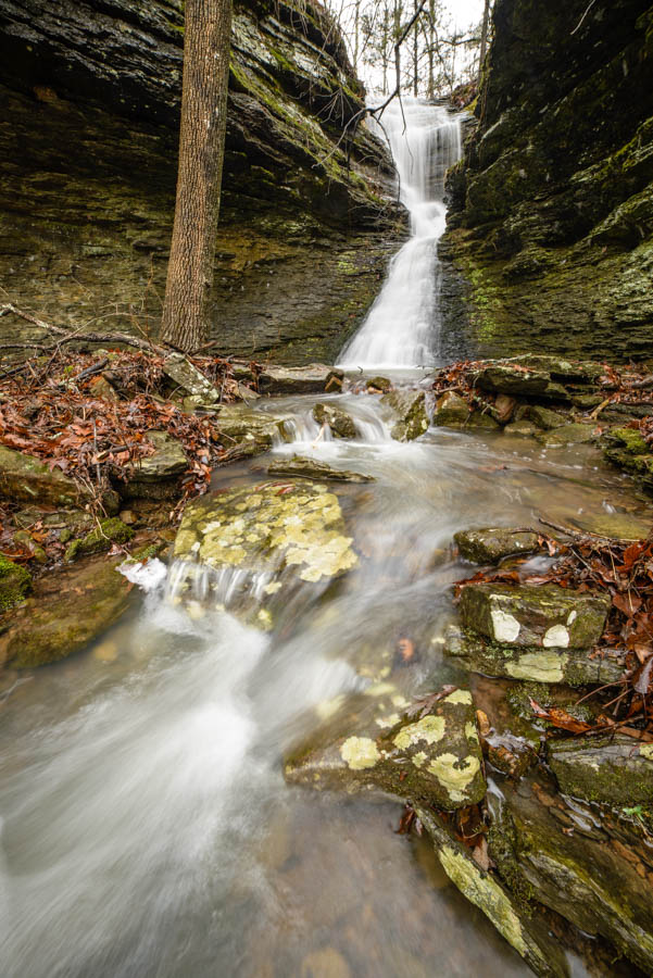
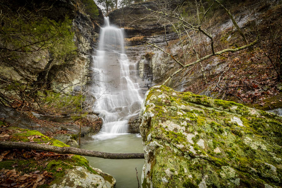
Ladderbucket Falls
in the slot

ray of light
Morning in the Blue Hole
one - two - one
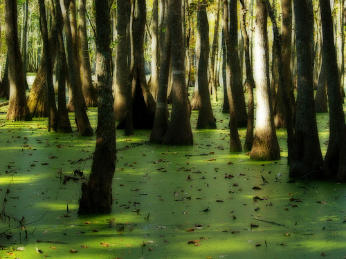
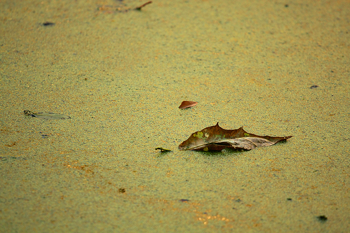
Goose Pond

down spout
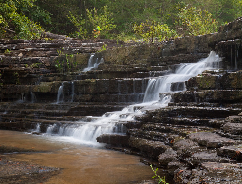
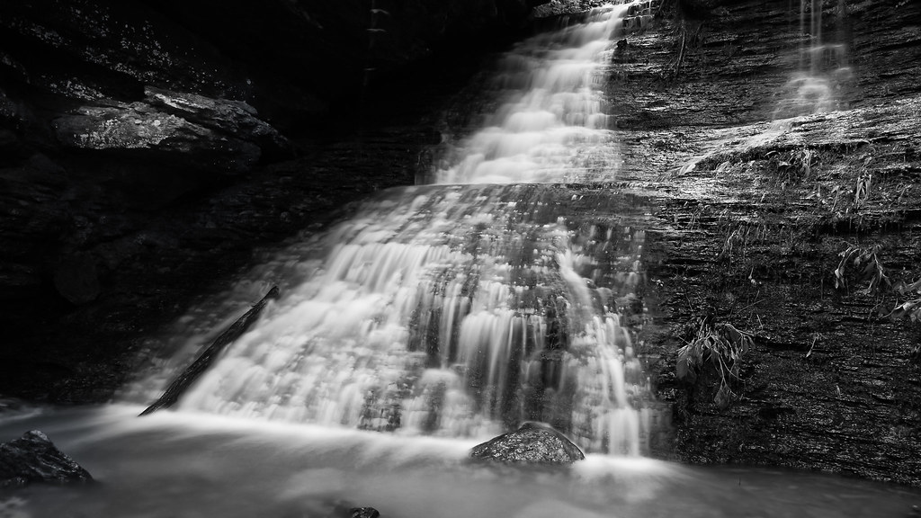
nature's staircase
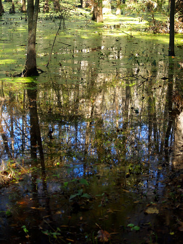
Goose Pond
2013-11-11 15.31.01
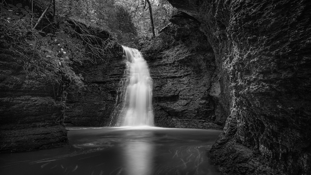
Green Grotto Falls
Unnamed Falls b/w
Ladder Bucket Falls (the top half)
Topographic Map of Jerusalem, AR, USA
Find elevation by address:

Places in Jerusalem, AR, USA:
Places near Jerusalem, AR, USA:
3 Ar-124
Jerusalem Rd, Jerusalem, AR, USA
Appleton
Griffin Township
Buttermilk Rd, Russellville, AR, USA
Center Township
AR-, Russellville, AR, USA
Hector
Jackson Township
Pope County
AR-27, Hector, AR, USA
Scottsville
Liberty Township
Broomfield Rd, Dover, AR, USA
Market St, Dover, AR, USA
Dover
Dover Township
Larue Ridge Road
671 Rushing Rd
Tater Knob
Recent Searches:
- Elevation of Corso Fratelli Cairoli, 35, Macerata MC, Italy
- Elevation of Tallevast Rd, Sarasota, FL, USA
- Elevation of 4th St E, Sonoma, CA, USA
- Elevation of Black Hollow Rd, Pennsdale, PA, USA
- Elevation of Oakland Ave, Williamsport, PA, USA
- Elevation of Pedrógão Grande, Portugal
- Elevation of Klee Dr, Martinsburg, WV, USA
- Elevation of Via Roma, Pieranica CR, Italy
- Elevation of Tavkvetili Mountain, Georgia
- Elevation of Hartfords Bluff Cir, Mt Pleasant, SC, USA