Elevation of Jeffersonville North Branch Rd, Jeffersonville, NY, USA
Location: United States > New York > Sullivan County > Callicoon > Jeffersonville >
Longitude: -74.950723
Latitude: 41.7868649
Elevation: 391m / 1283feet
Barometric Pressure: 97KPa
Elevation Map:
Satellite Map:
Related Photos:

Representatives For Woodstock

5mph Wake

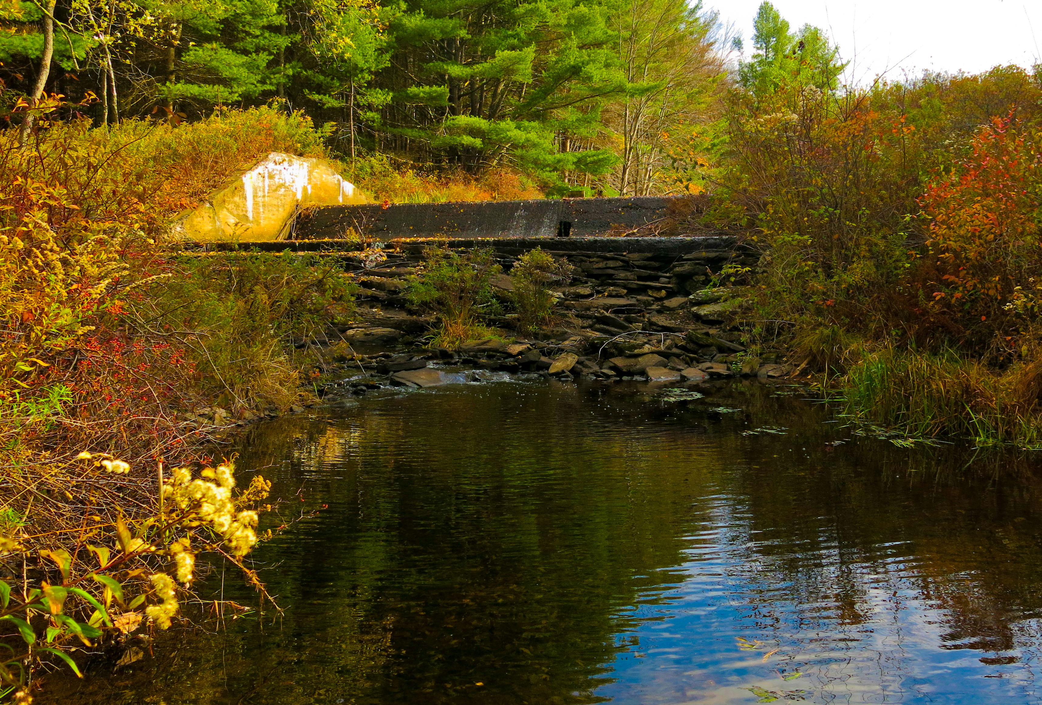
Evening At Stone Arch Bridge Park
Lake Kabau Dam

Night Club

Pull Up A Step And Have A Coke

Woodstock Then And Now

Woodstock Vista

Stevensville Resort 2

A Reflection Of Our Future Water

Elton John Audience

The Stevensville Hotel

Swan Lake

An Autumn Day On Kauneonga Lake

#Cortado with a view of the lake. If you're ever nearby, absolutely stop here.
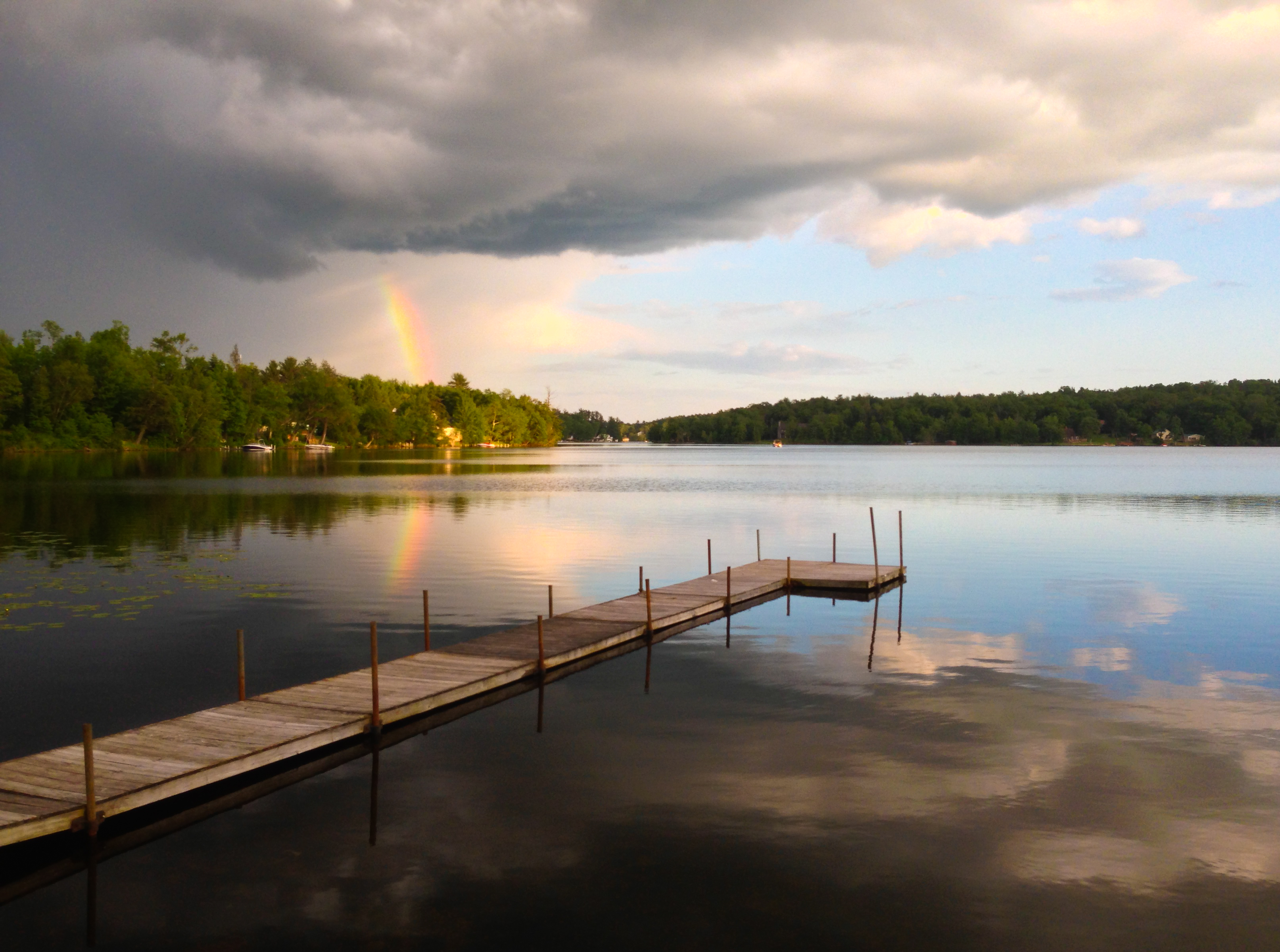
Partial Rainbow Over Kauneonga Lake

Lake view

Silo And Barn

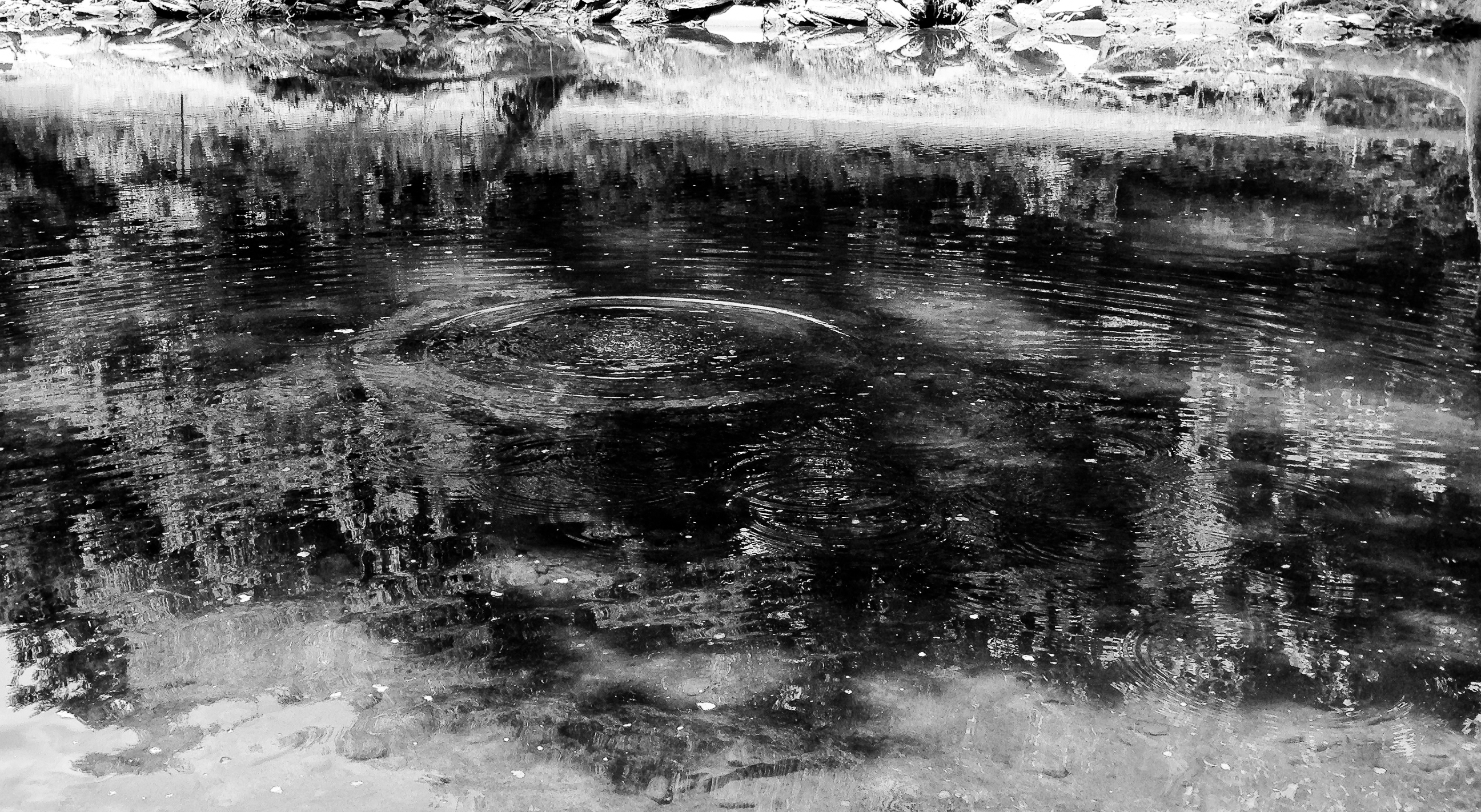
Reflected Merganser Brood

Kauneonga Lake Docks on a Fall Day

Commodore Hipstamatic

No Music - No Crowd - No Rain

Losing The Sun Over Kauneonga Lake

Losing Daylight Over White Lake

Docked On Kauneonga Lake

Deleware River from Skinners Falls Bridge

Swan Lake Stone Castle 2
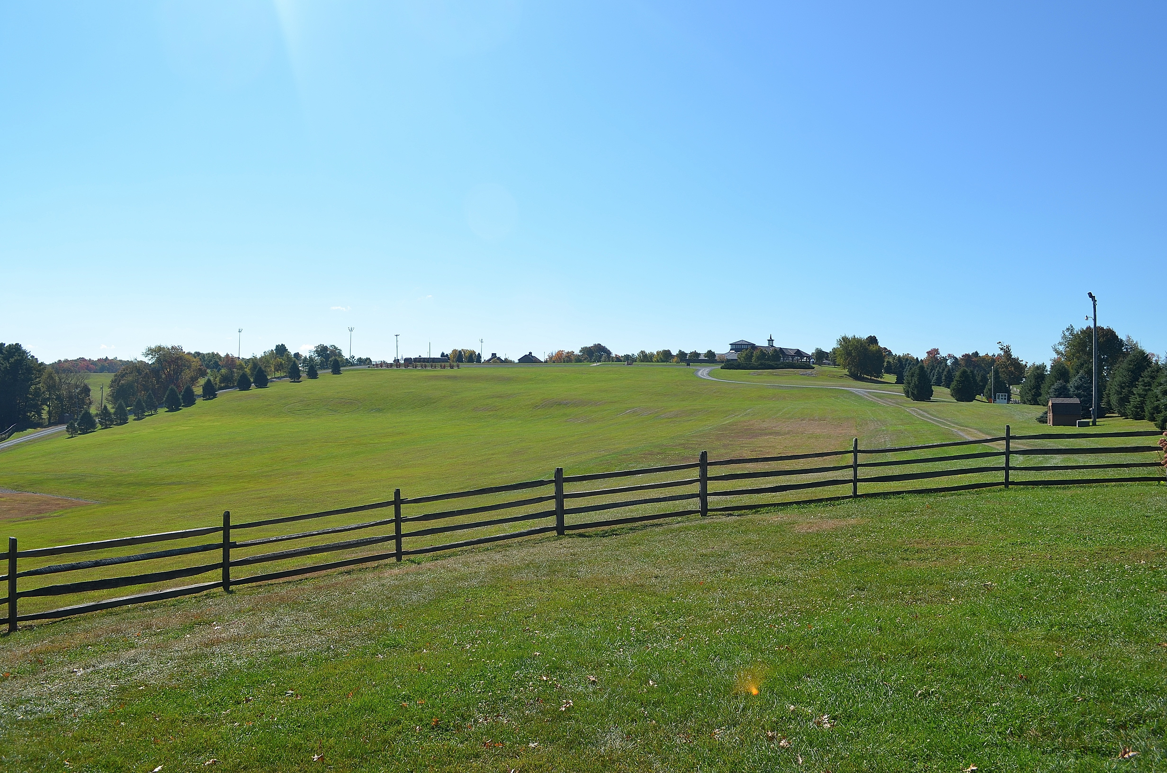
Woodstock Site
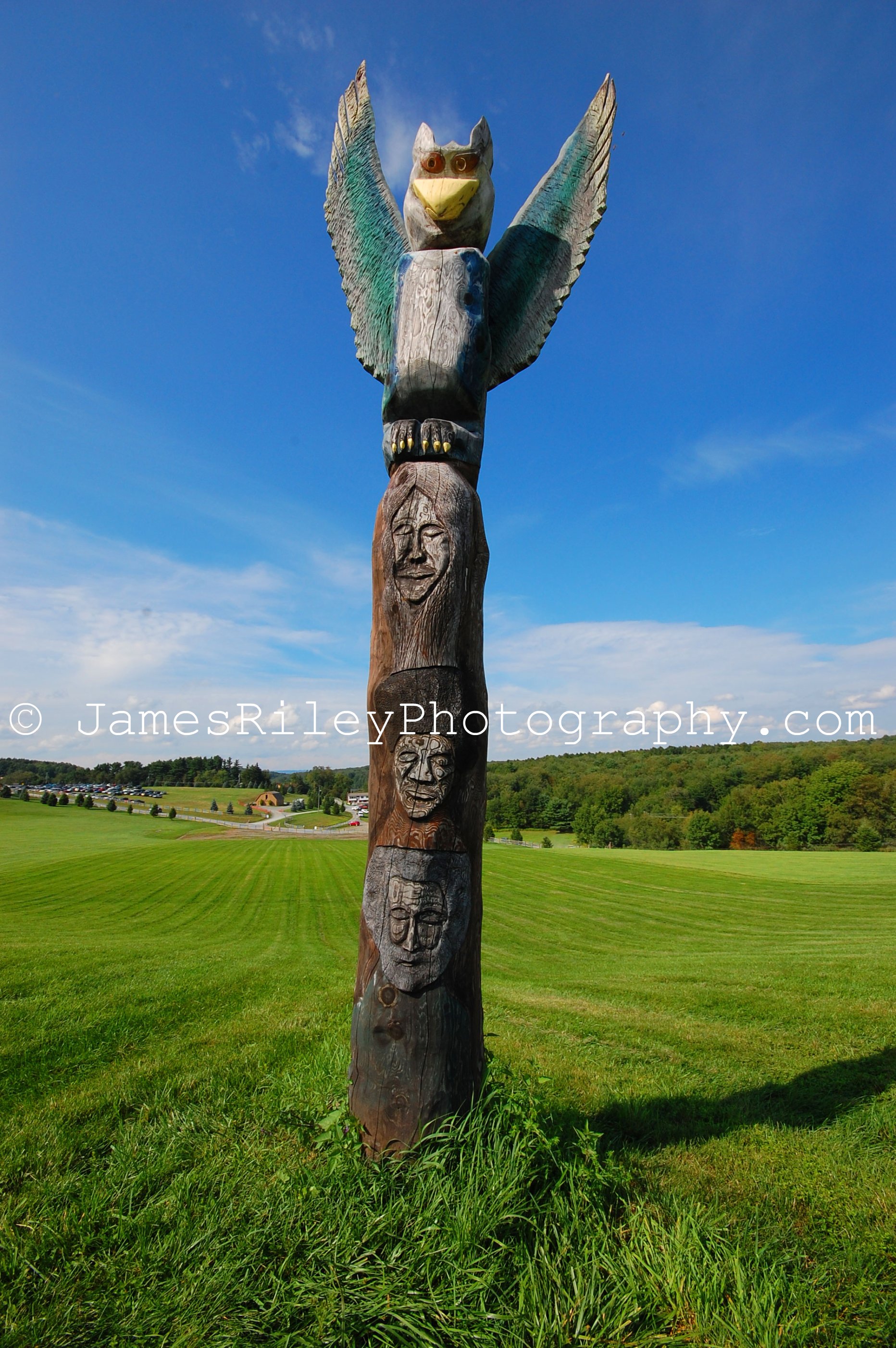
1969 Woodstock Totem Pole TP

The original site of the Woodstock Festival 1969
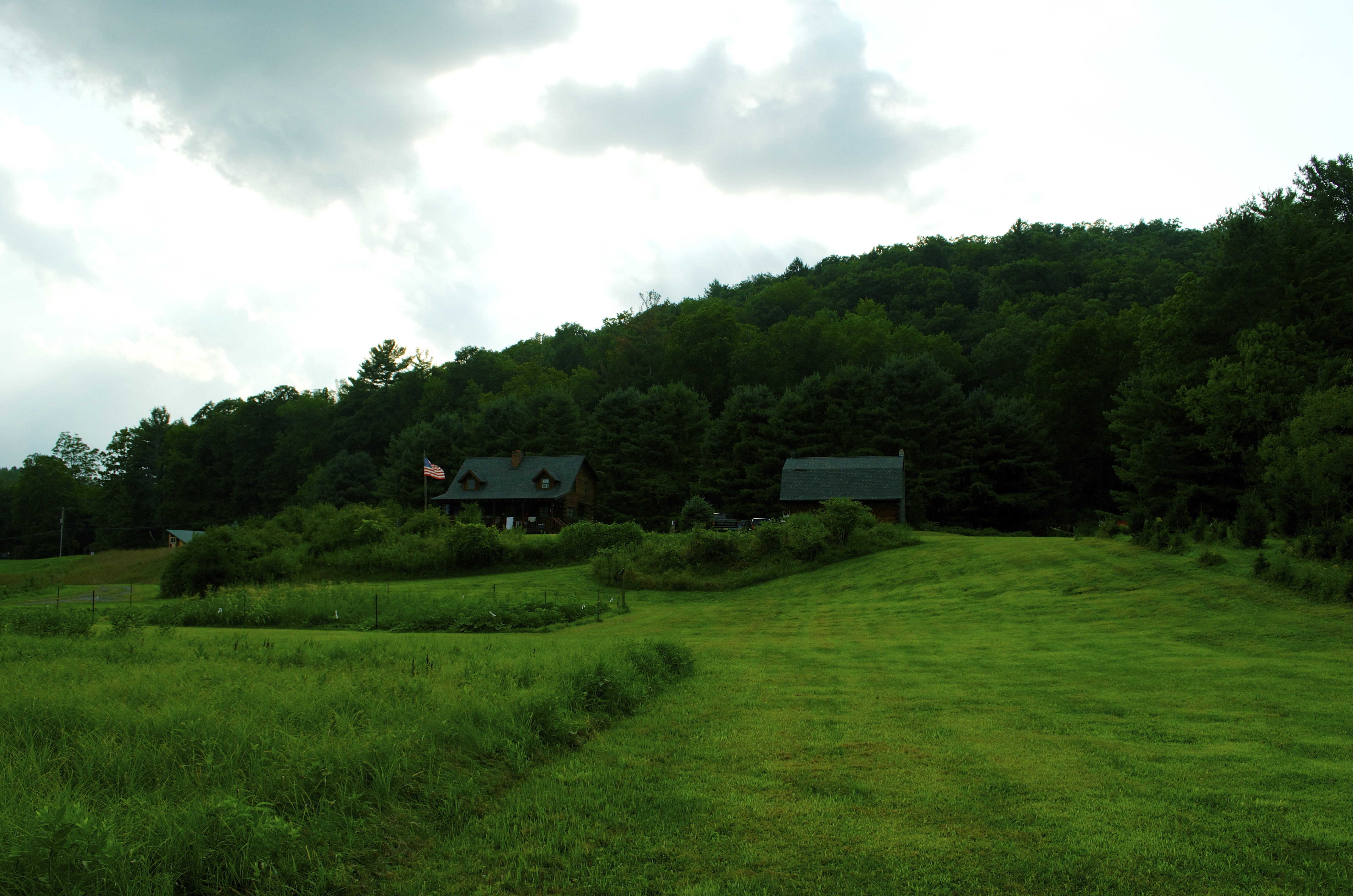
View of the cabin

Autumn Pond

Standard Oil Pump Station - Cochecton, NY

Janis Joplin on Woodstock Totem Pole

Cold Delaware Shore

Bethel, Woodstock NY
After The Splash
Topographic Map of Jeffersonville North Branch Rd, Jeffersonville, NY, USA
Find elevation by address:

Places near Jeffersonville North Branch Rd, Jeffersonville, NY, USA:
Jeffersonville
6 Mill St
867 Swiss Hill Rd N
541 Jeffersonville North Branch Rd
Bldg 13
Kenoza Lake, NY, USA
North Branch, NY, USA
Villa Vista Drive
Villa Vista Drive
32 Brog Rd
Reum Rd, Callicoon, NY, USA
142 Eagin Rd
North Branch
431 Bayer Rd
Jeffersonville, NY, USA
Delaware
Robisch Hill Road
37 John Spielman Rd
17 Tremper Rd
Shandelee Rd, Livingston Manor, NY, USA
Recent Searches:
- Elevation of Corso Fratelli Cairoli, 35, Macerata MC, Italy
- Elevation of Tallevast Rd, Sarasota, FL, USA
- Elevation of 4th St E, Sonoma, CA, USA
- Elevation of Black Hollow Rd, Pennsdale, PA, USA
- Elevation of Oakland Ave, Williamsport, PA, USA
- Elevation of Pedrógão Grande, Portugal
- Elevation of Klee Dr, Martinsburg, WV, USA
- Elevation of Via Roma, Pieranica CR, Italy
- Elevation of Tavkvetili Mountain, Georgia
- Elevation of Hartfords Bluff Cir, Mt Pleasant, SC, USA