Elevation of 6 Mill St, Jeffersonville, NY, USA
Location: United States > New York > Sullivan County > Callicoon > Jeffersonville >
Longitude: -74.933815
Latitude: 41.7799509
Elevation: 321m / 1053feet
Barometric Pressure: 98KPa
Elevation Map:
Satellite Map:
Related Photos:
Representatives For Woodstock
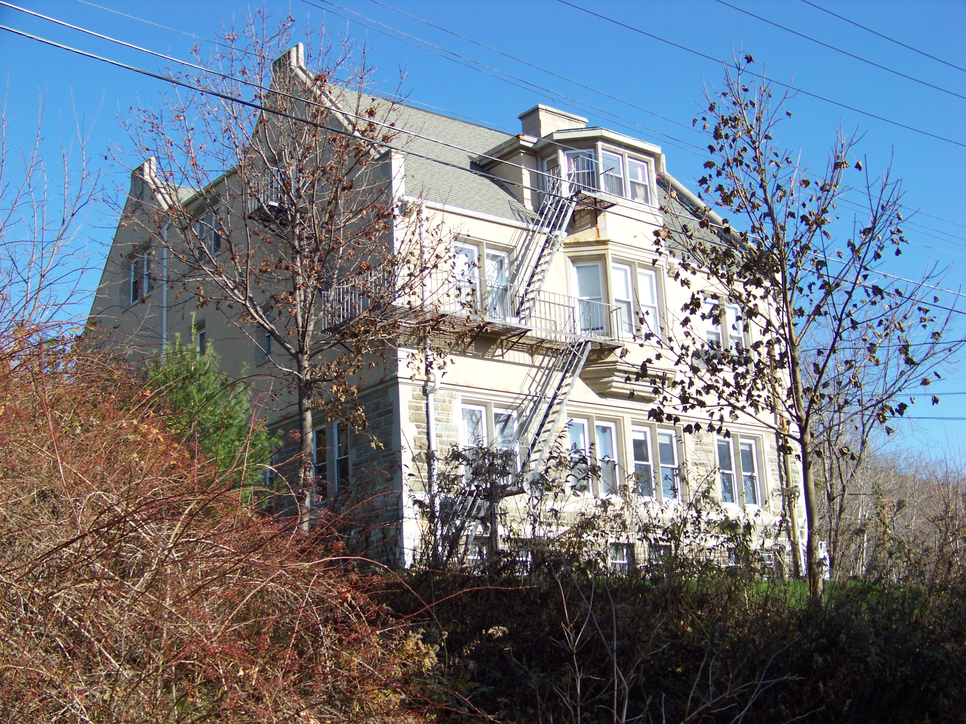
Babbit Memorial Medical Building
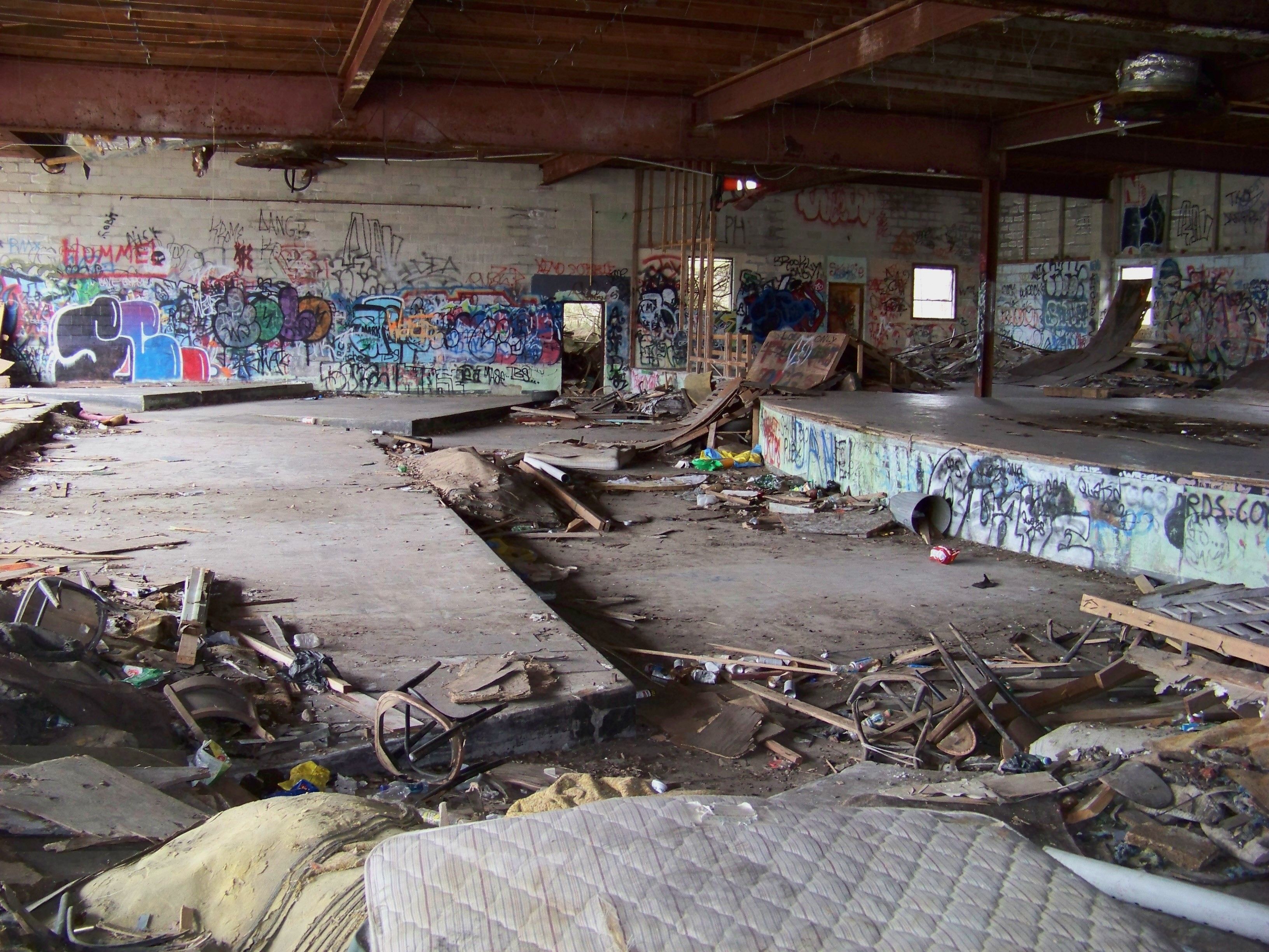
Night Club

Sullivan Diner Entrance

5mph Wake
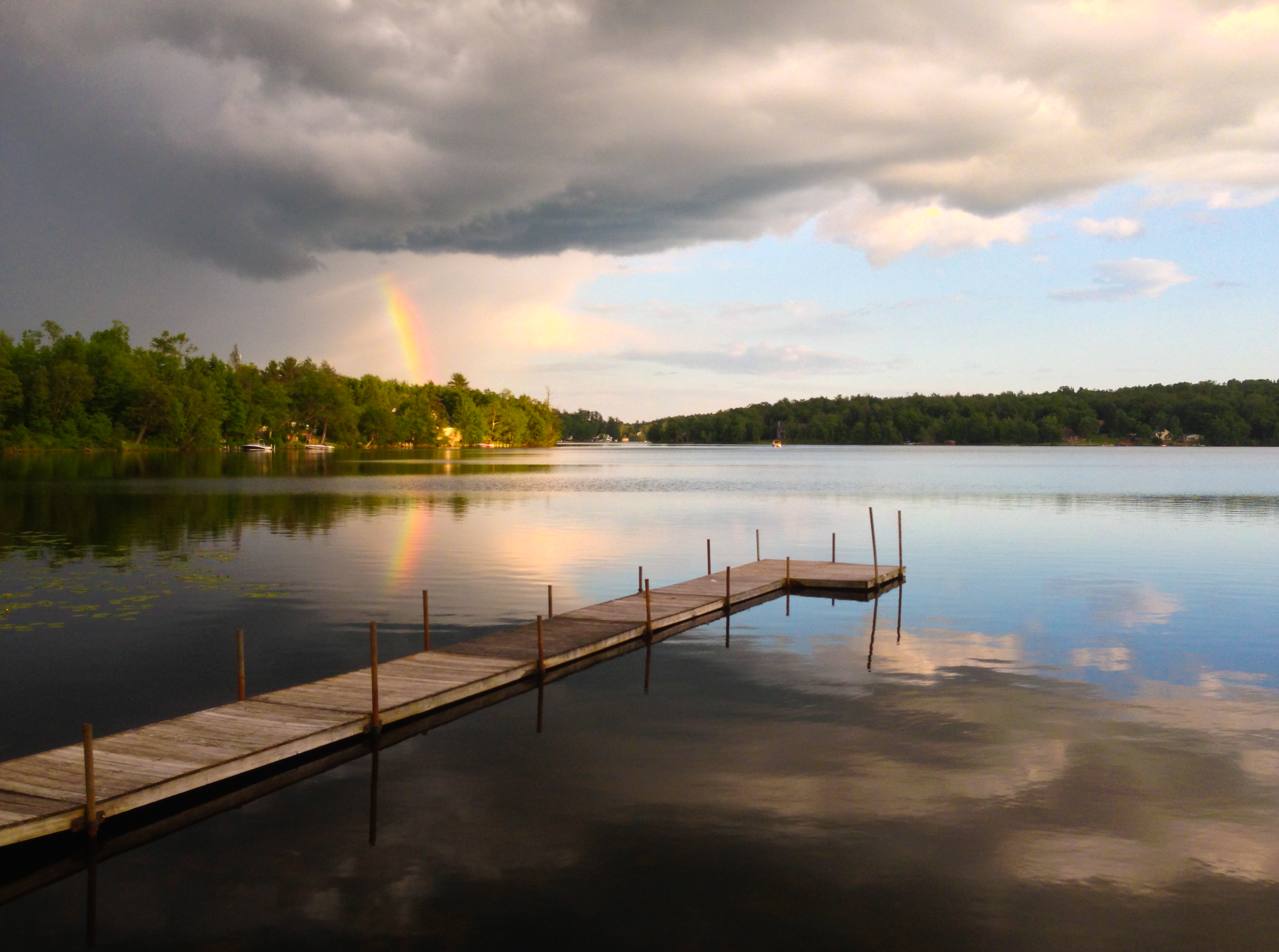
Partial Rainbow Over Kauneonga Lake
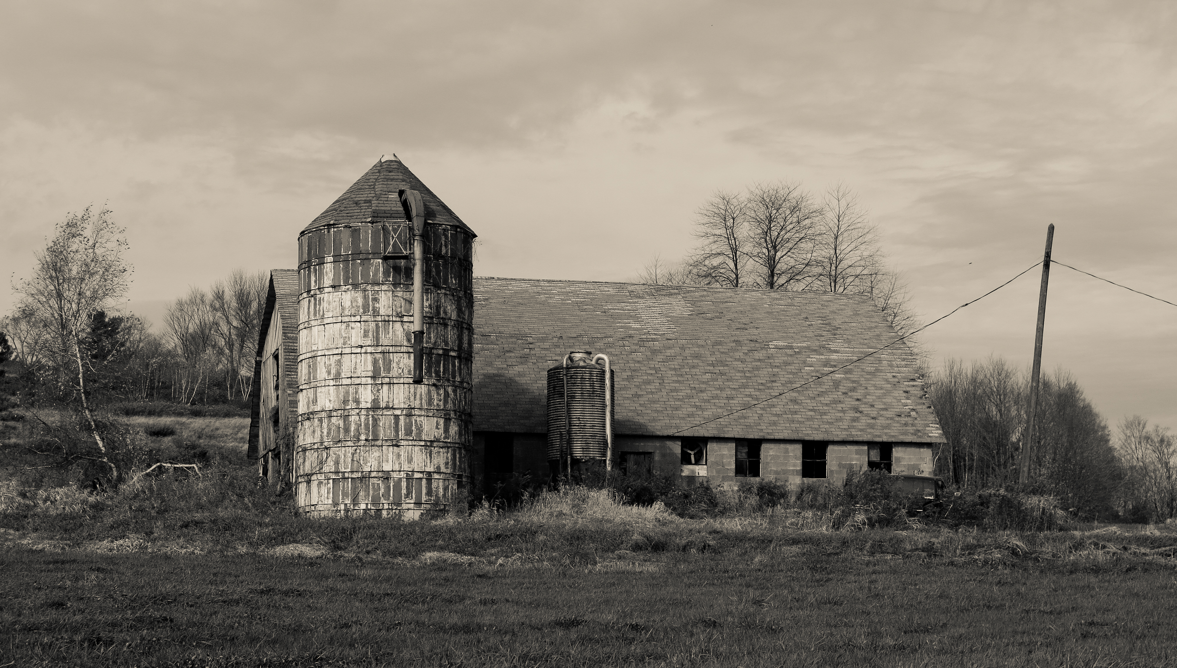
Silo And Barn
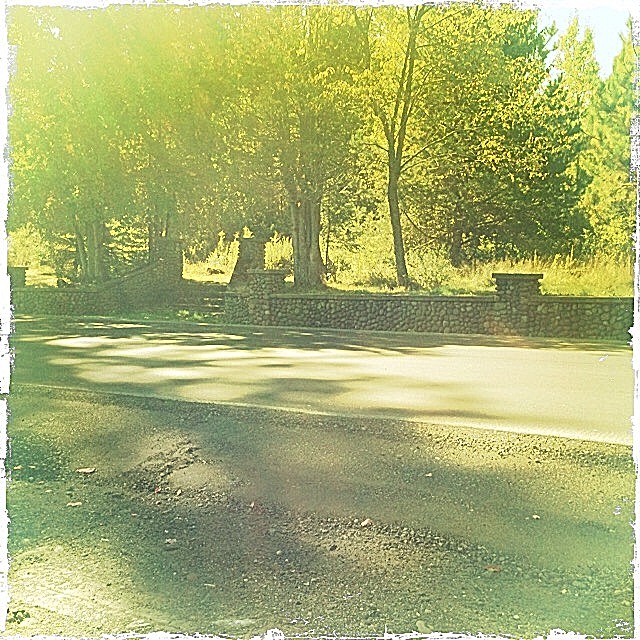
Commodore Hipstamatic
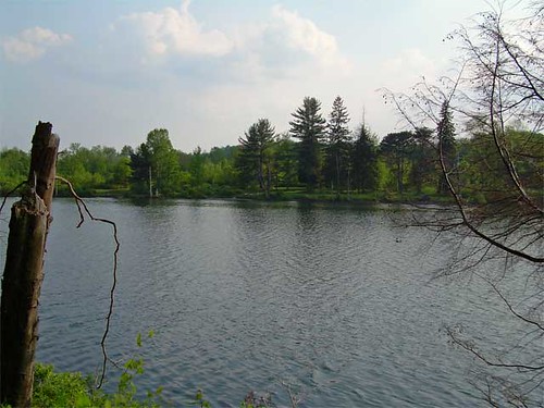
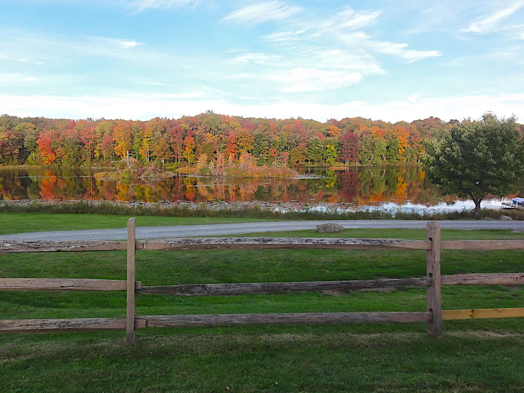
Lake view
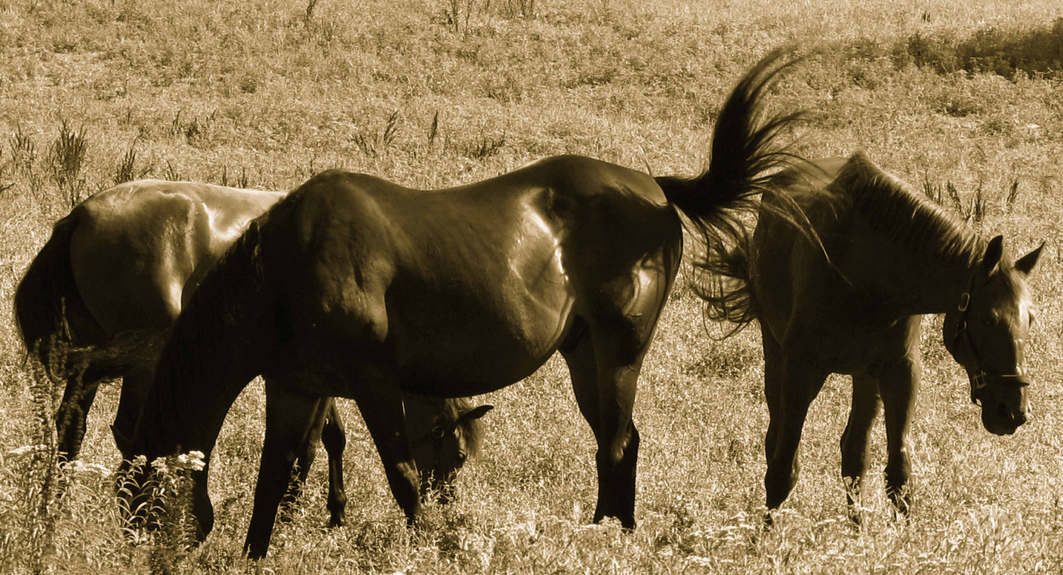
Horses Grazing In The Morning Sun
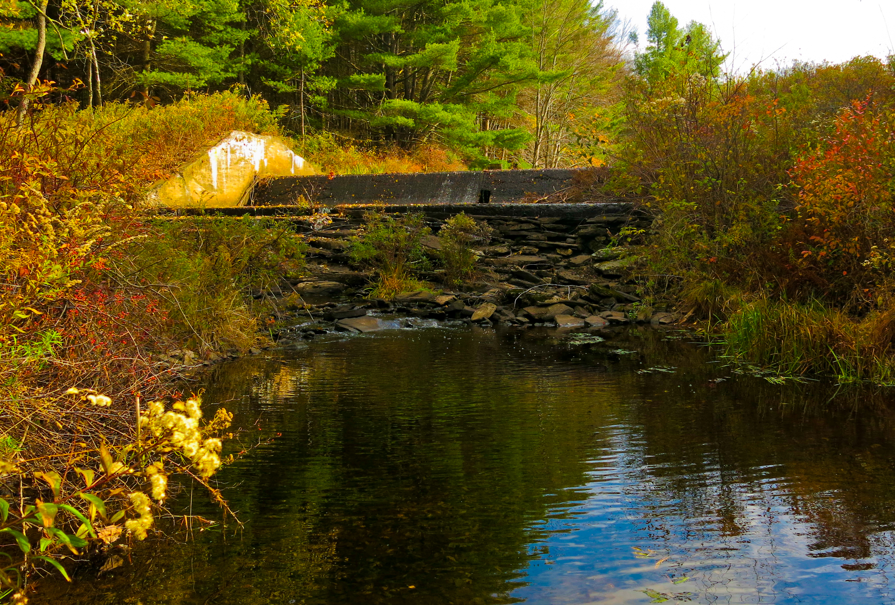
Lake Kabau Dam

Stephanie Grace
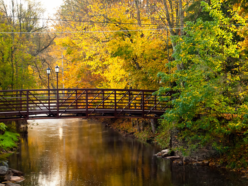
View from the Stone Arch Bridge

Fishing From Atlantis

The Piano Player

Pull Up A Step And Have A Coke

Elton John Audience
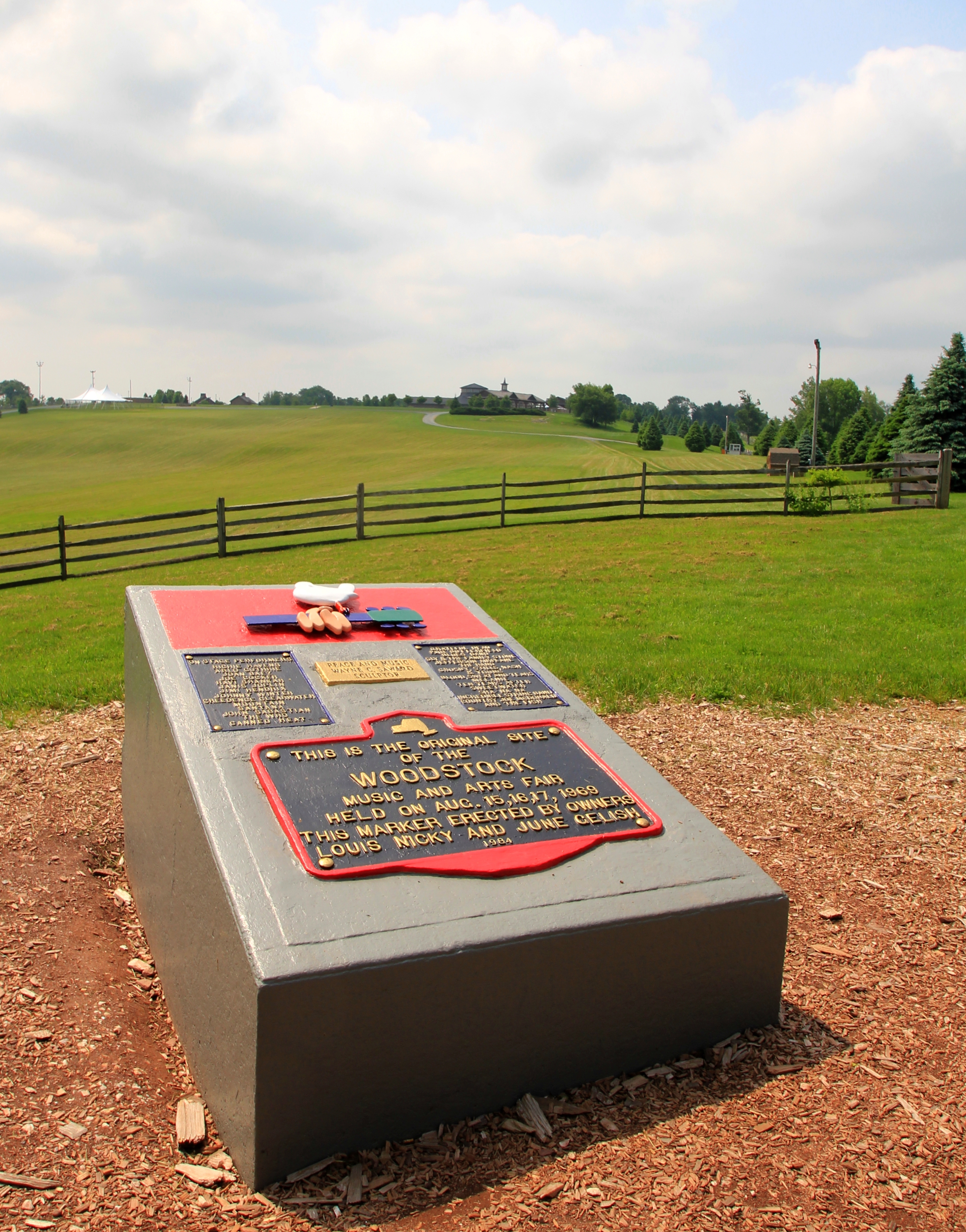
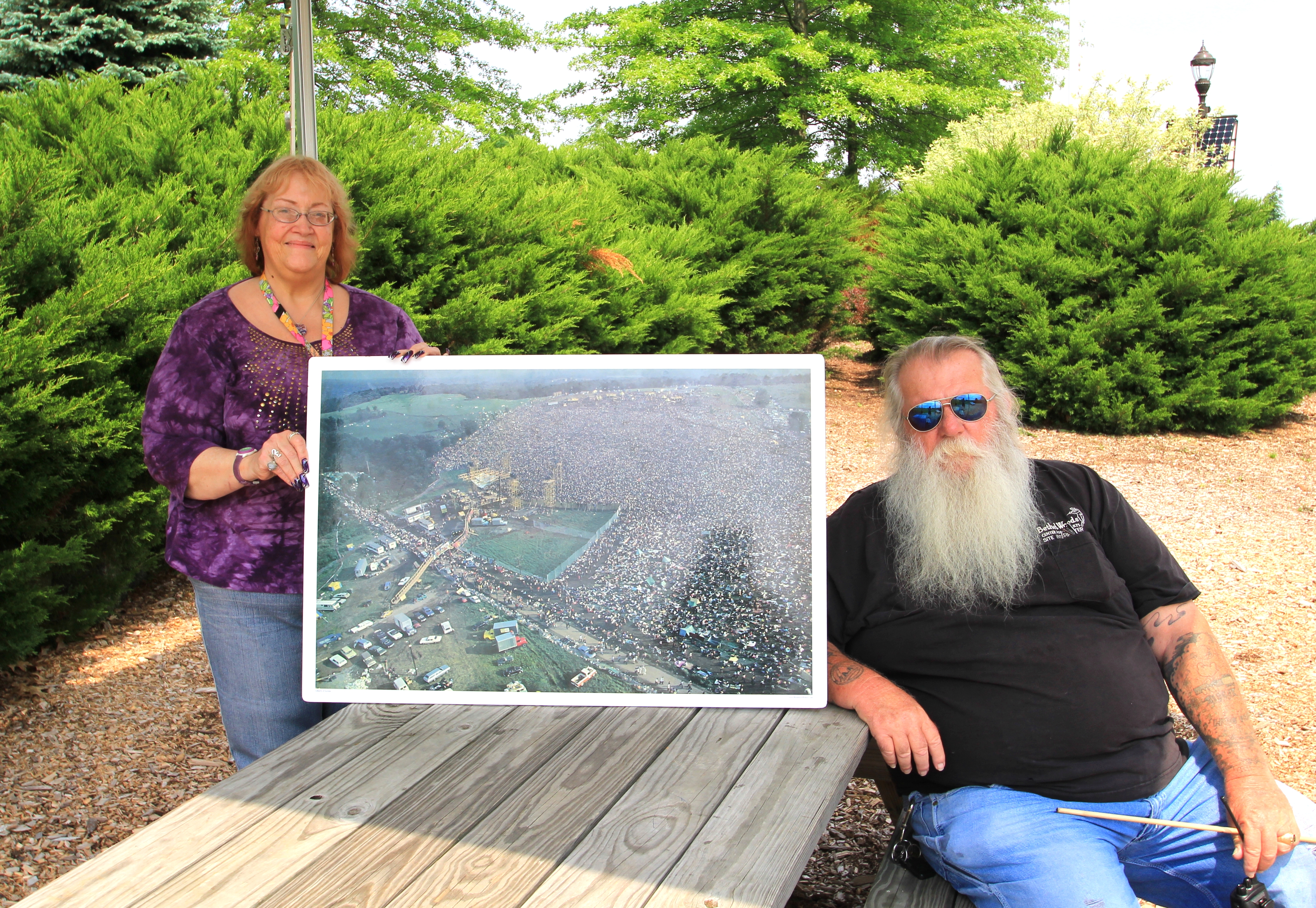
Woodstock Then And Now
Autumn Pond
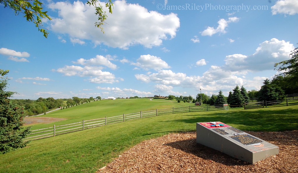
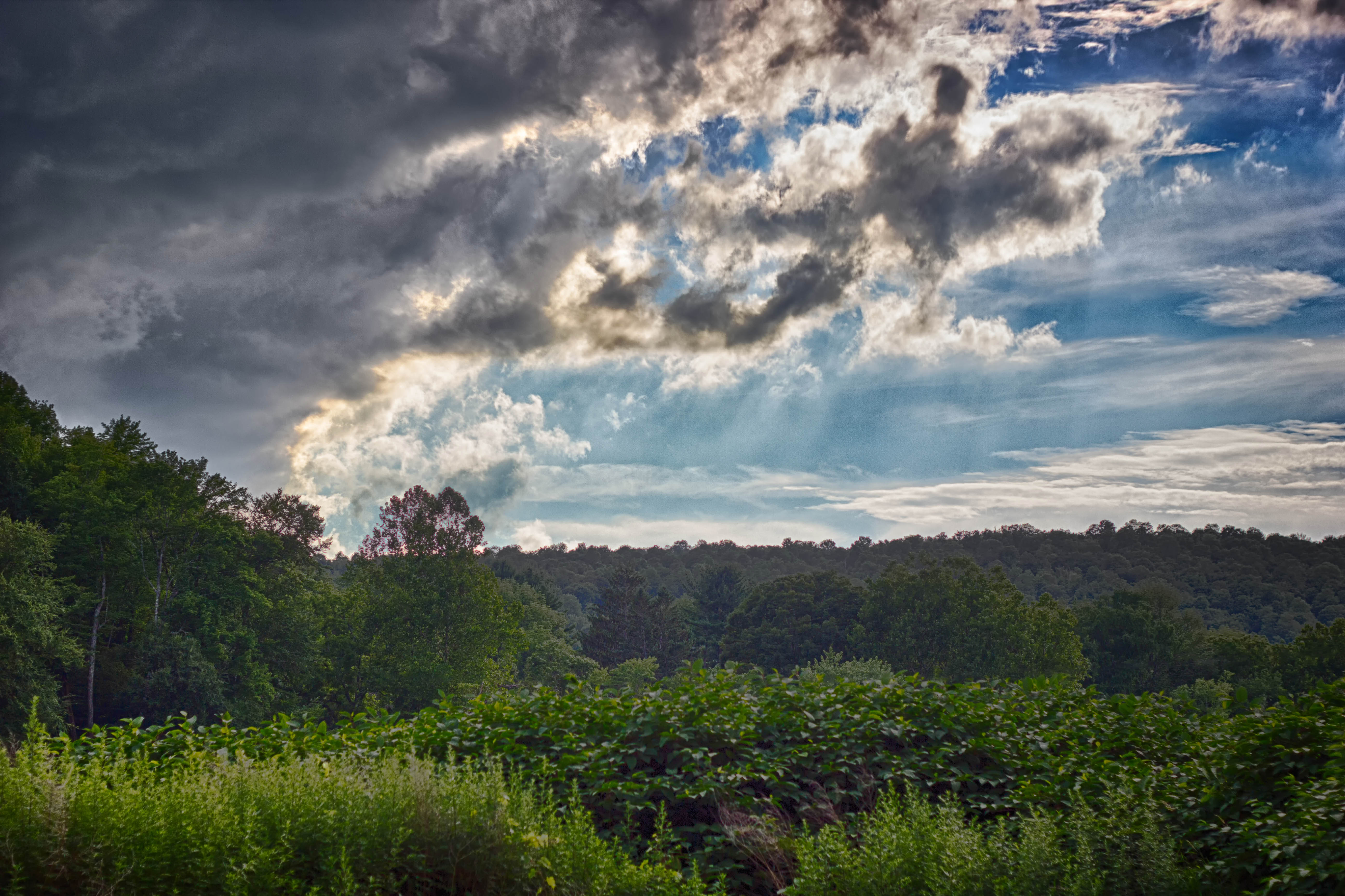
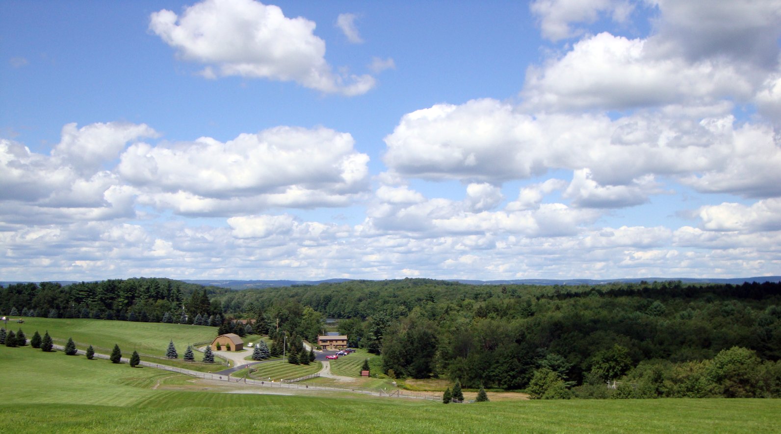
Woodstock Vista

Stevensville Resort 2
Laundry Brook
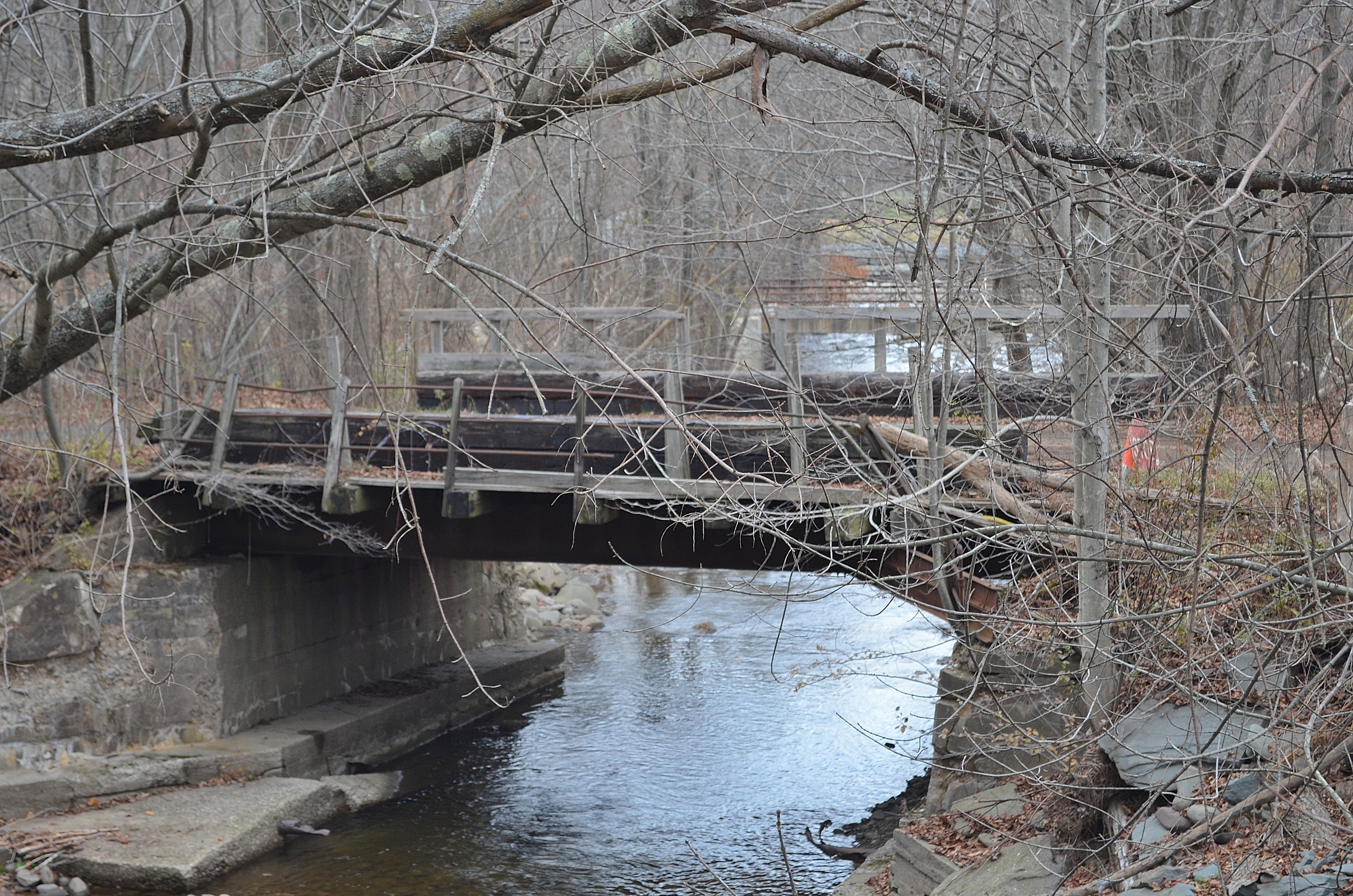
Railroad Bridge
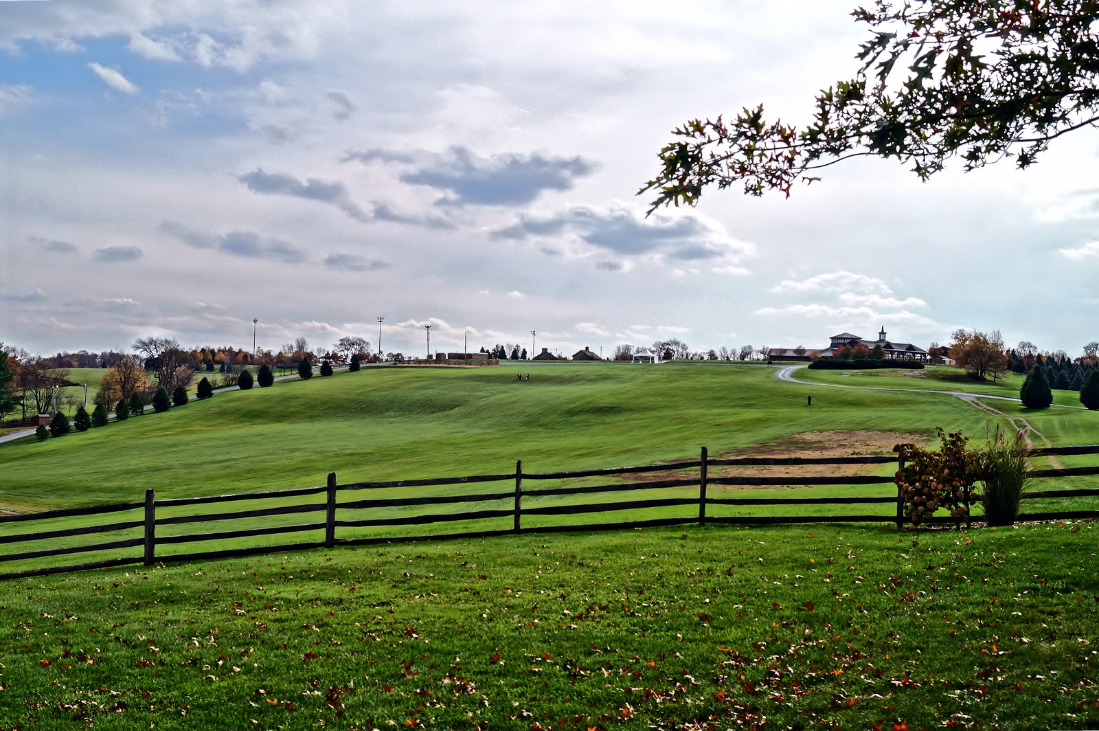
No Music - No Crowd - No Rain
_MG_0123_HDR.jpg
Lake Shandelee

7/25/13 Brthel Woods
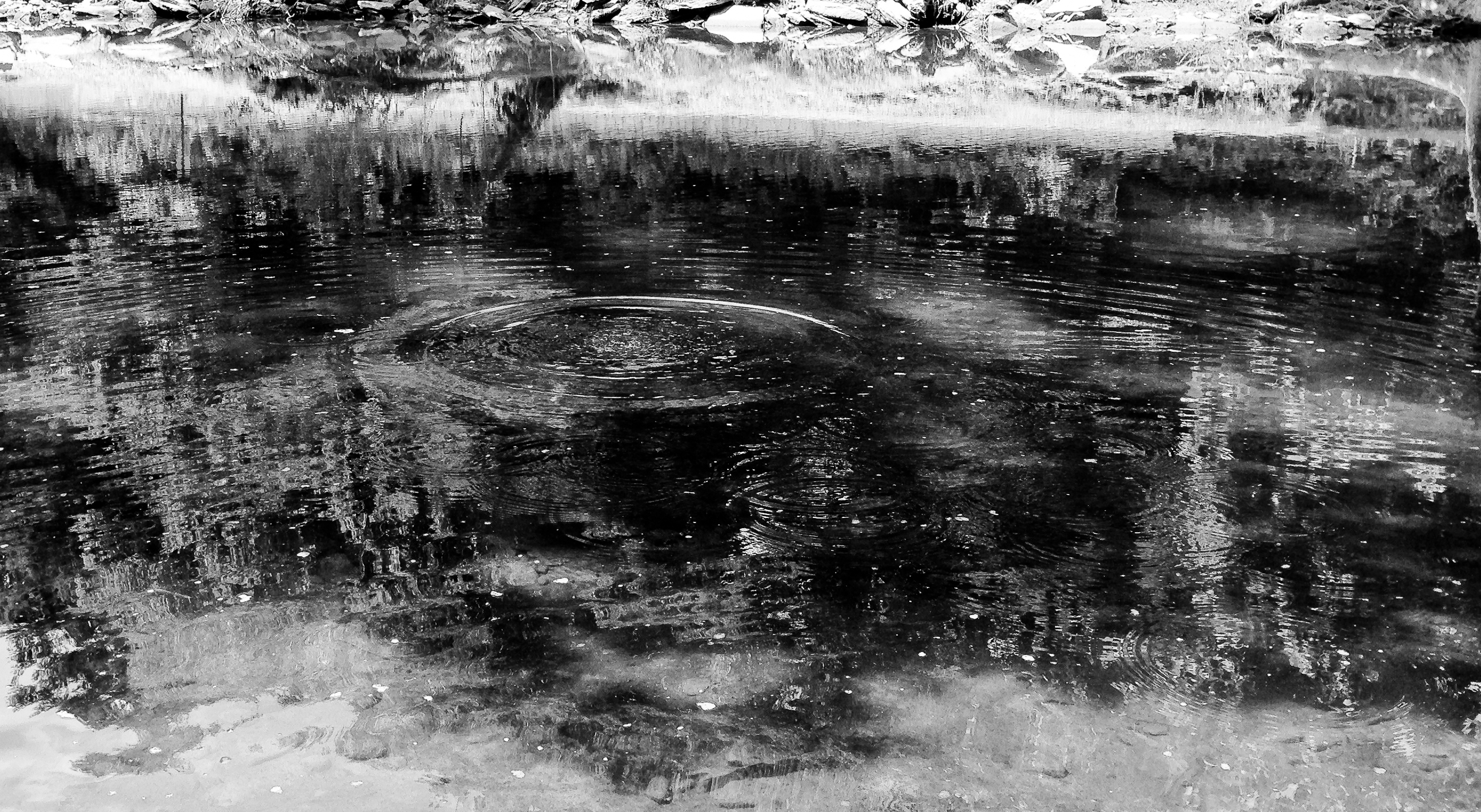
After The Splash

River 2
Deleware River from Skinners Falls Bridge
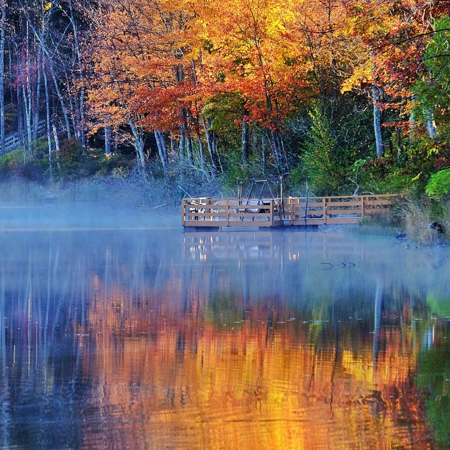
Morning fog lifts off the lake with #fall #leaves changing color
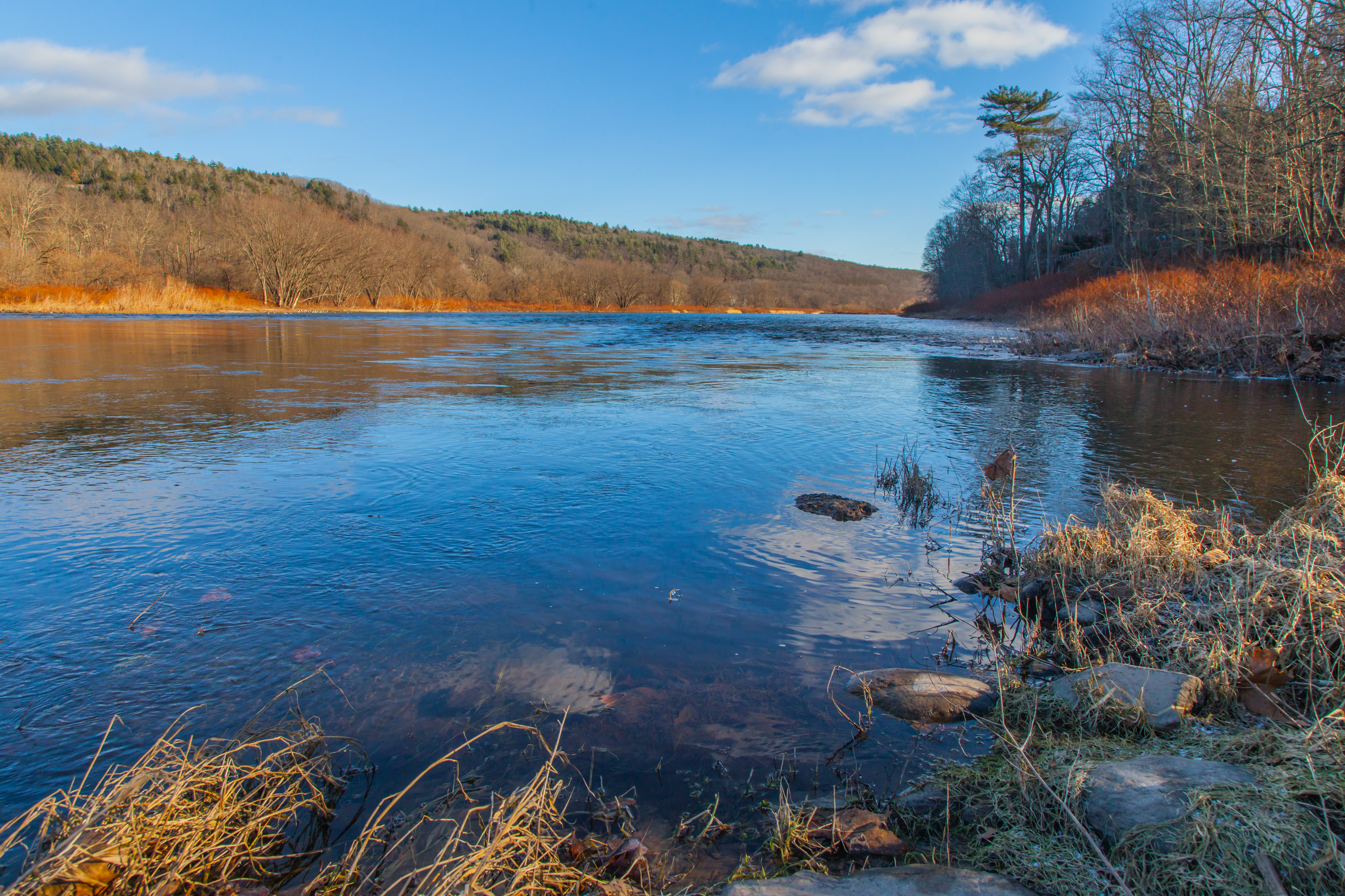
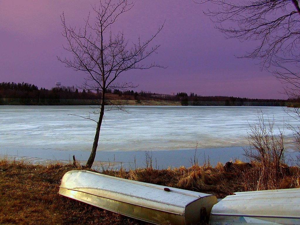
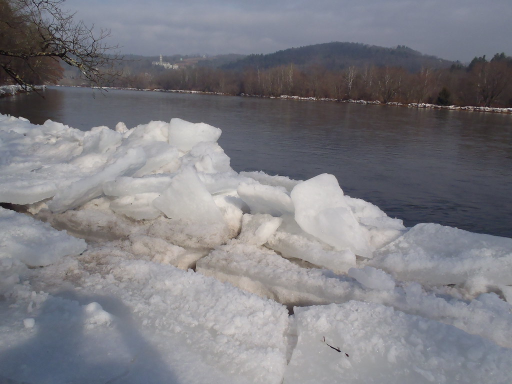
Cold Delaware Shore

Docked On Kauneonga Lake

Can I help you?
Bethel, NY
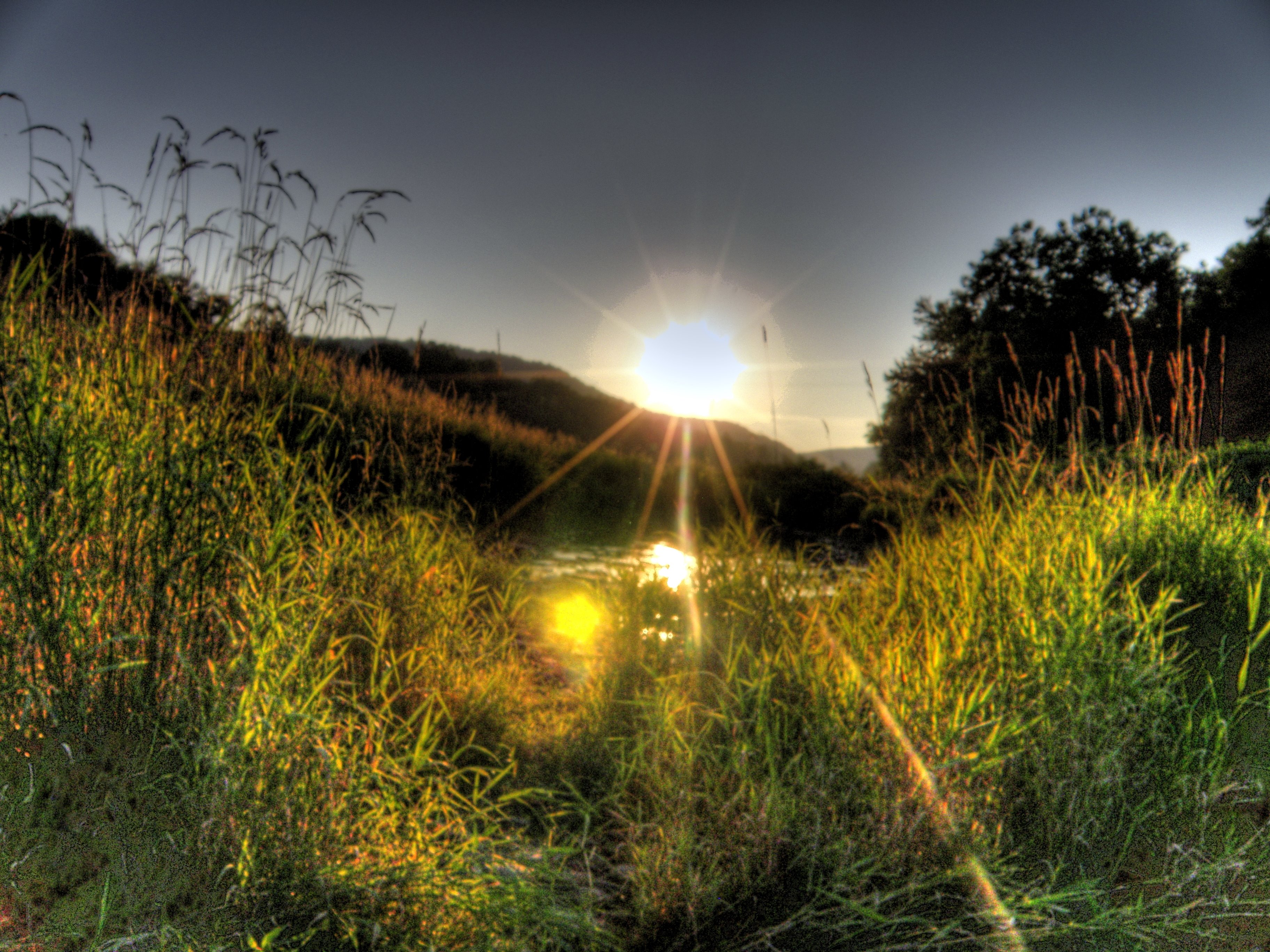
Puddle Sunset
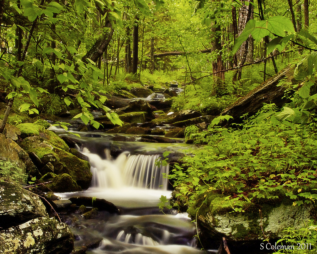
Miniature Niagara
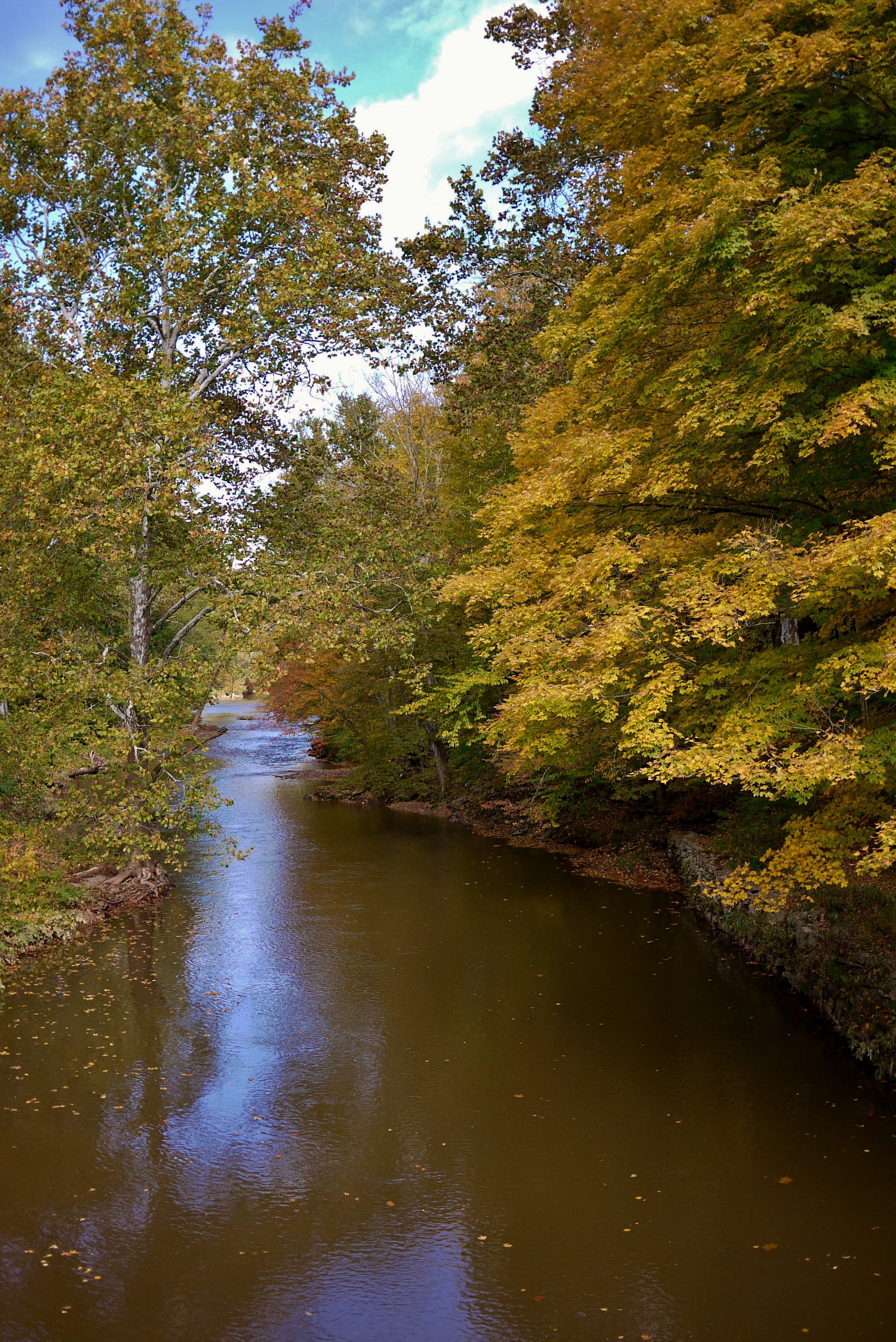
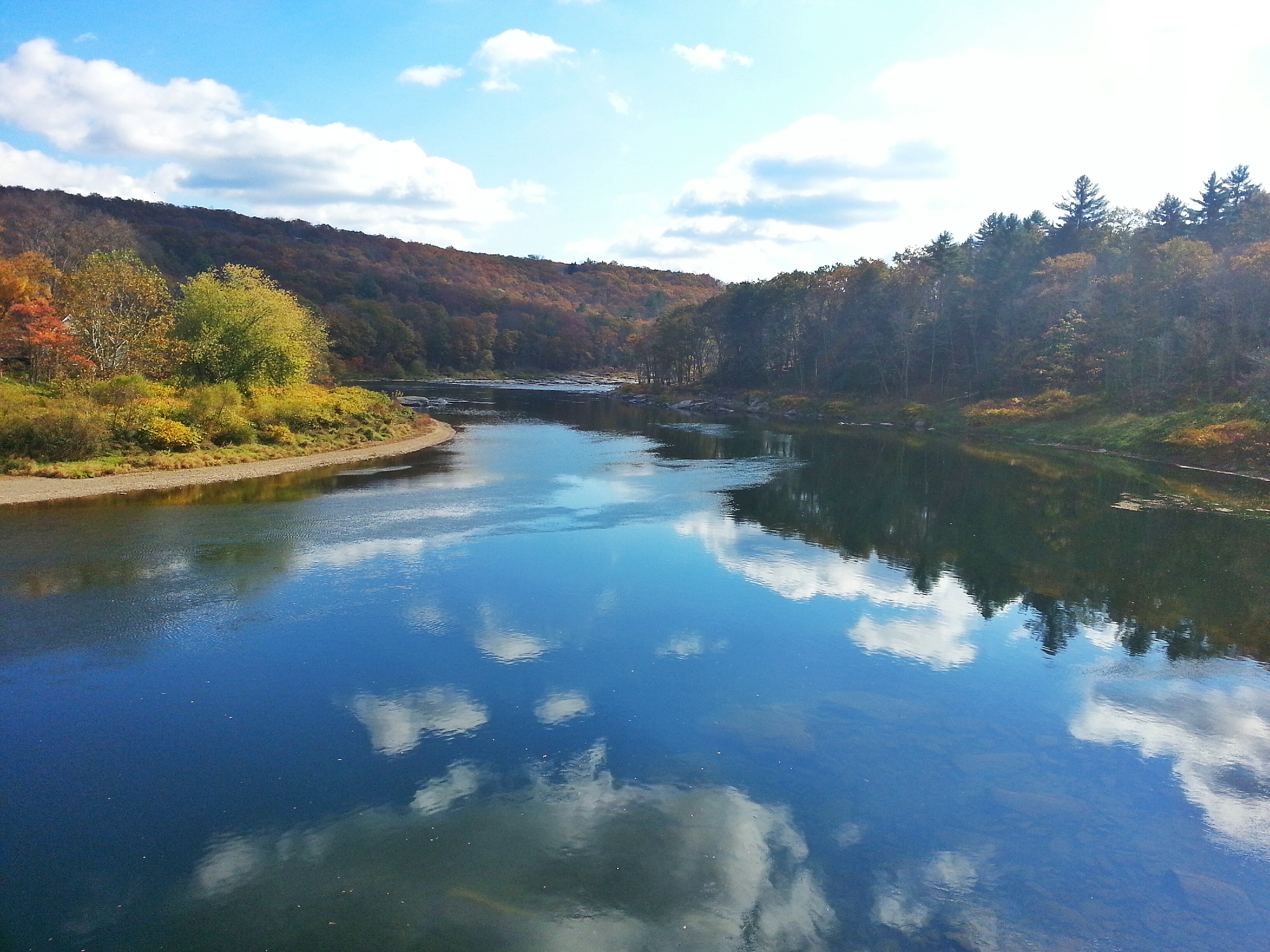
Delaware River at Callicoon
Topographic Map of 6 Mill St, Jeffersonville, NY, USA
Find elevation by address:

Places near 6 Mill St, Jeffersonville, NY, USA:
Jeffersonville
867 Swiss Hill Rd N
202 Jeffersonville North Branch Rd
32 Brog Rd
142 Eagin Rd
Kenoza Lake, NY, USA
Jeffersonville, NY, USA
541 Jeffersonville North Branch Rd
37 John Spielman Rd
Bldg 13
Villa Vista Drive
Villa Vista Drive
Reum Rd, Callicoon, NY, USA
17 Tremper Rd
North Branch, NY, USA
Shandelee Rd, Livingston Manor, NY, USA
Youngsville
North Branch
431 Bayer Rd
Delaware
Recent Searches:
- Elevation of Corso Fratelli Cairoli, 35, Macerata MC, Italy
- Elevation of Tallevast Rd, Sarasota, FL, USA
- Elevation of 4th St E, Sonoma, CA, USA
- Elevation of Black Hollow Rd, Pennsdale, PA, USA
- Elevation of Oakland Ave, Williamsport, PA, USA
- Elevation of Pedrógão Grande, Portugal
- Elevation of Klee Dr, Martinsburg, WV, USA
- Elevation of Via Roma, Pieranica CR, Italy
- Elevation of Tavkvetili Mountain, Georgia
- Elevation of Hartfords Bluff Cir, Mt Pleasant, SC, USA