Elevation of Jefferson Township, AR, USA
Location: United States > Arkansas > Little River County >
Longitude: -94.130906
Latitude: 33.6159489
Elevation: 93m / 305feet
Barometric Pressure: 100KPa
Elevation Map:
Satellite Map:
Related Photos:
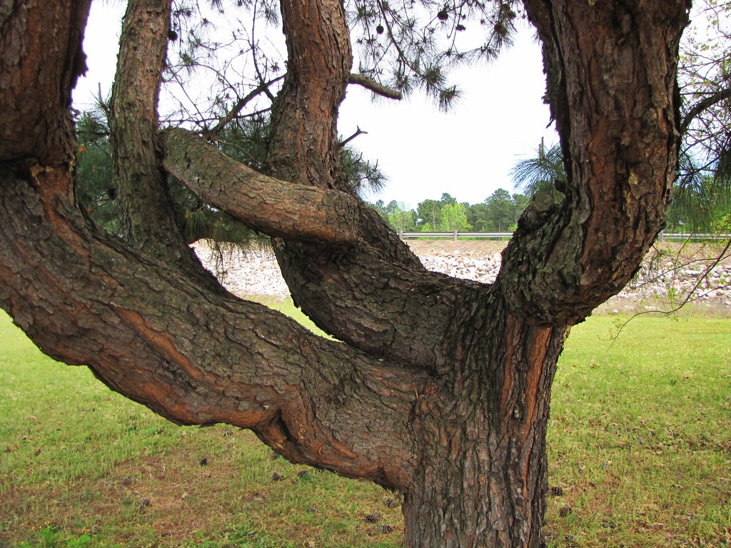
IMG_0759
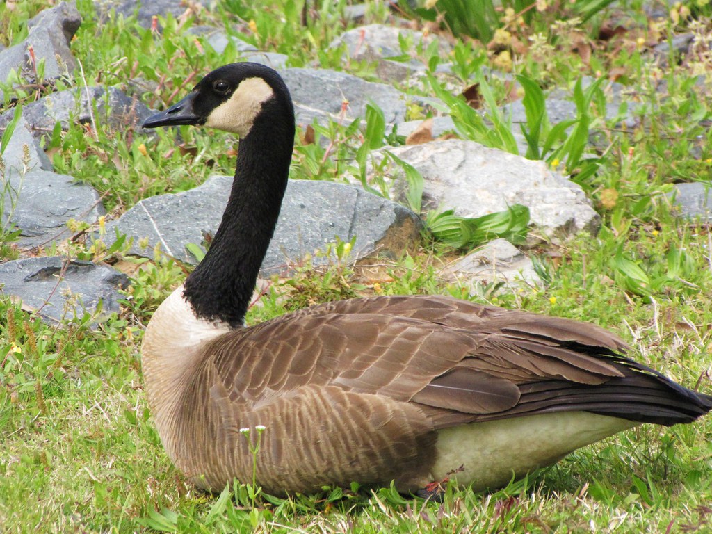
IMG_0757
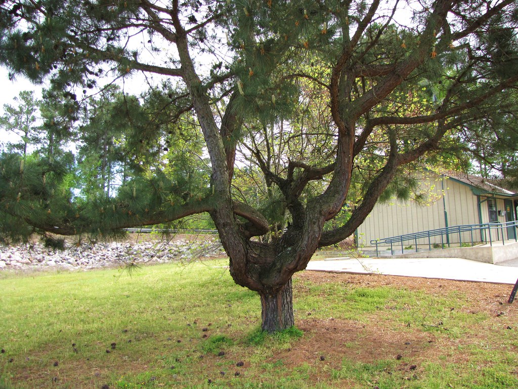
IMG_0760
IMG_0755

IMG_0754
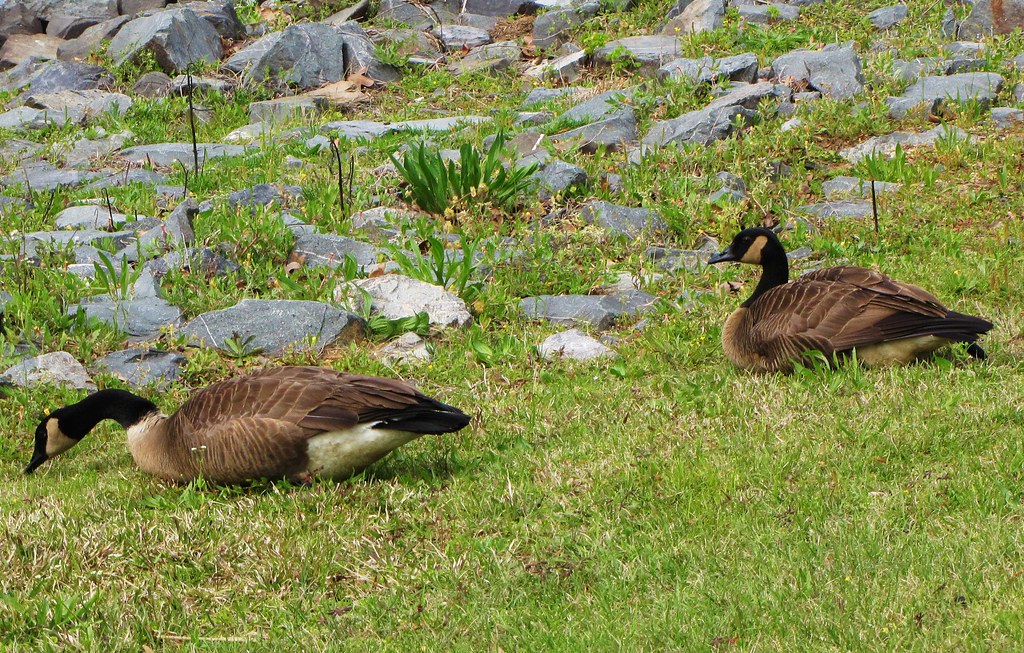
IMG_0753
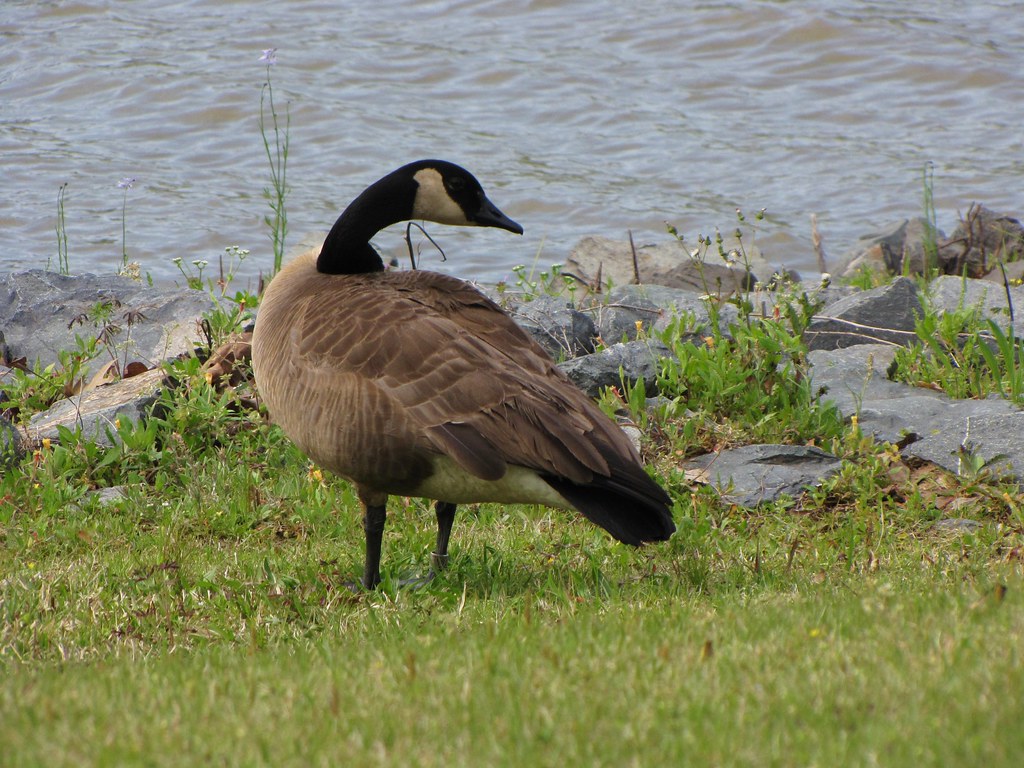
IMG_0752
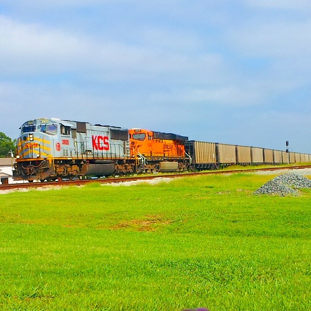
#KCS #KansasCitySouthern 3925 #sd70mac
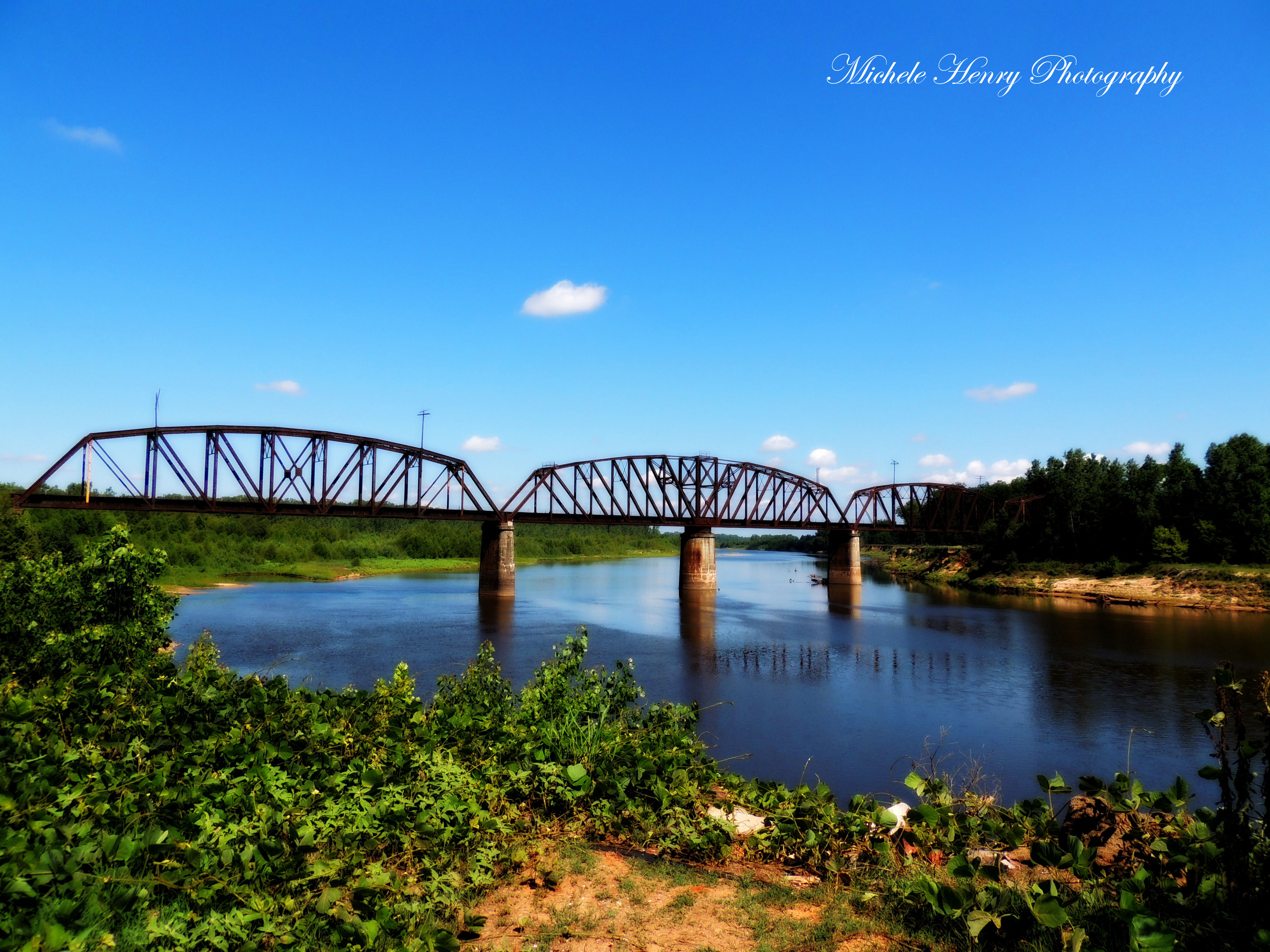
Red River
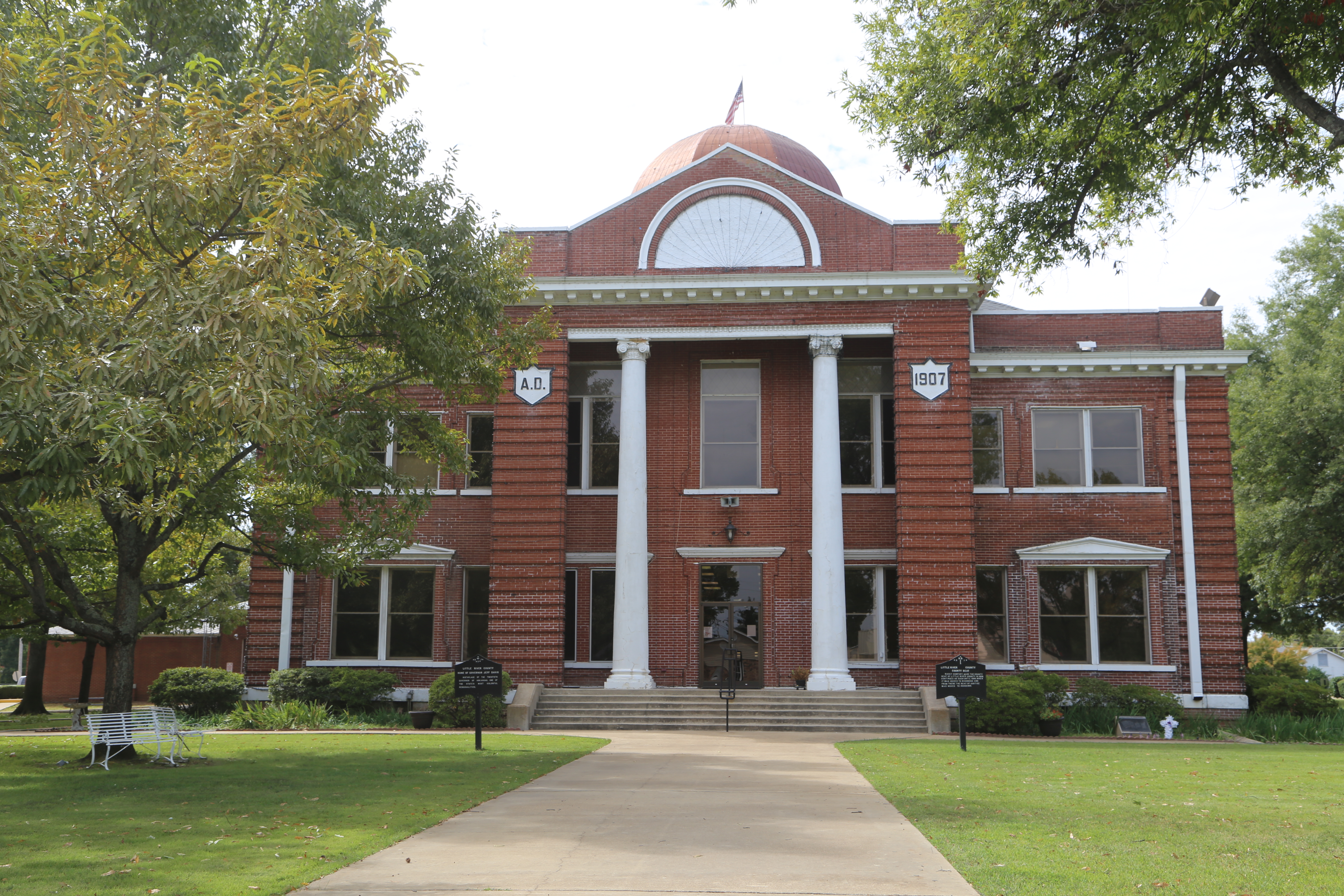
Ashdown Arkansas, County Courthouse, Little River County AR

McKinney Bayou, Texas
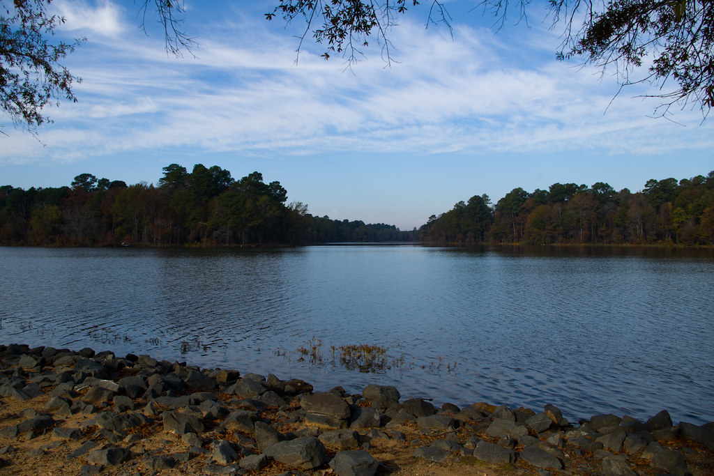
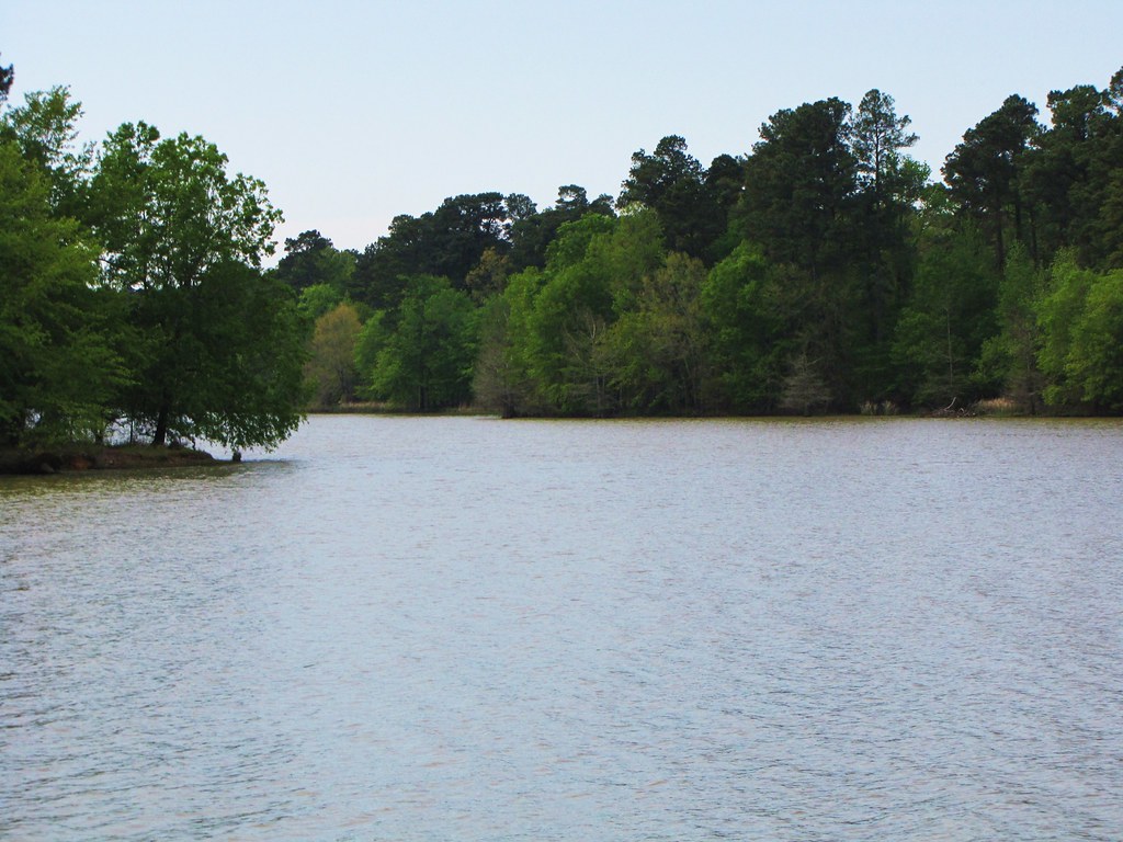
Morning at Millwood Lake
Topographic Map of Jefferson Township, AR, USA
Find elevation by address:

Places in Jefferson Township, AR, USA:
Places near Jefferson Township, AR, USA:
Pine Prairie Rd, Ashdown, AR, USA
21 E Main St, Ashdown, AR, USA
Ashdown
Little River 17, Ashdown, AR, USA
Red River Township
Little River County
Ogden
8526 Summerhill Rd
Little River 29, Ashdown, AR, USA
Little River 70, Ogden, AR, USA
Wamba
Jacks Isle Rd, Ashdown, AR, USA
7106 Gunstock Rd
Franklin Township
AR-32, Ashdown, AR, USA
Little River 70, Ogden, AR, USA
3310 Pleasant Grove Rd
Farm Rd N, Texarkana, TX, USA
Little River 33, Ashdown, AR, USA
W New Boston Rd, Hooks, TX, USA
Recent Searches:
- Elevation of Corso Fratelli Cairoli, 35, Macerata MC, Italy
- Elevation of Tallevast Rd, Sarasota, FL, USA
- Elevation of 4th St E, Sonoma, CA, USA
- Elevation of Black Hollow Rd, Pennsdale, PA, USA
- Elevation of Oakland Ave, Williamsport, PA, USA
- Elevation of Pedrógão Grande, Portugal
- Elevation of Klee Dr, Martinsburg, WV, USA
- Elevation of Via Roma, Pieranica CR, Italy
- Elevation of Tavkvetili Mountain, Georgia
- Elevation of Hartfords Bluff Cir, Mt Pleasant, SC, USA