Elevation of Jefferson, IA, USA
Location: United States > Iowa > Louisa County >
Longitude: -91.0777723
Latitude: 41.1351122
Elevation: 191m / 627feet
Barometric Pressure: 0KPa
Related Photos:

objects in this mirror
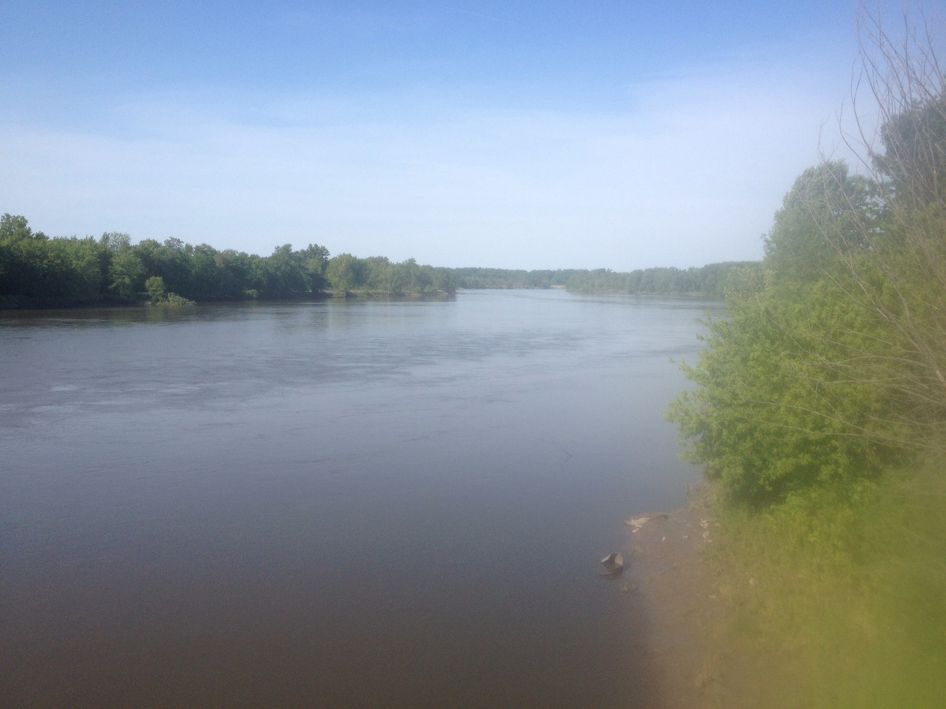
Great Rivers.

Day 16: Sunset at Pigeon Camp

Day 17: Tow passing Pigeon Camp

Angle to Key West

Day 17: Pigeon Camp

Day 18

Day 16: Abandoned railroad bridge in backwater near Keithsburg, IL

Day 16: Pelicans

Day 17: Sand dune at Pigeon Camp

Toolesboro Mounds- Louisa Co IA (4)

Day 16: Pelicans

Day 16: Pelicans

Day 16: Approaching abandoned railroad bridge in backwater near Keithsburg, IL

Day 17: Pigeon Camp

Day 16: Pelicans

Day 17: Tow passing near Pigeon Camp

Day 16: Pelicans

Day 16: Pelicans
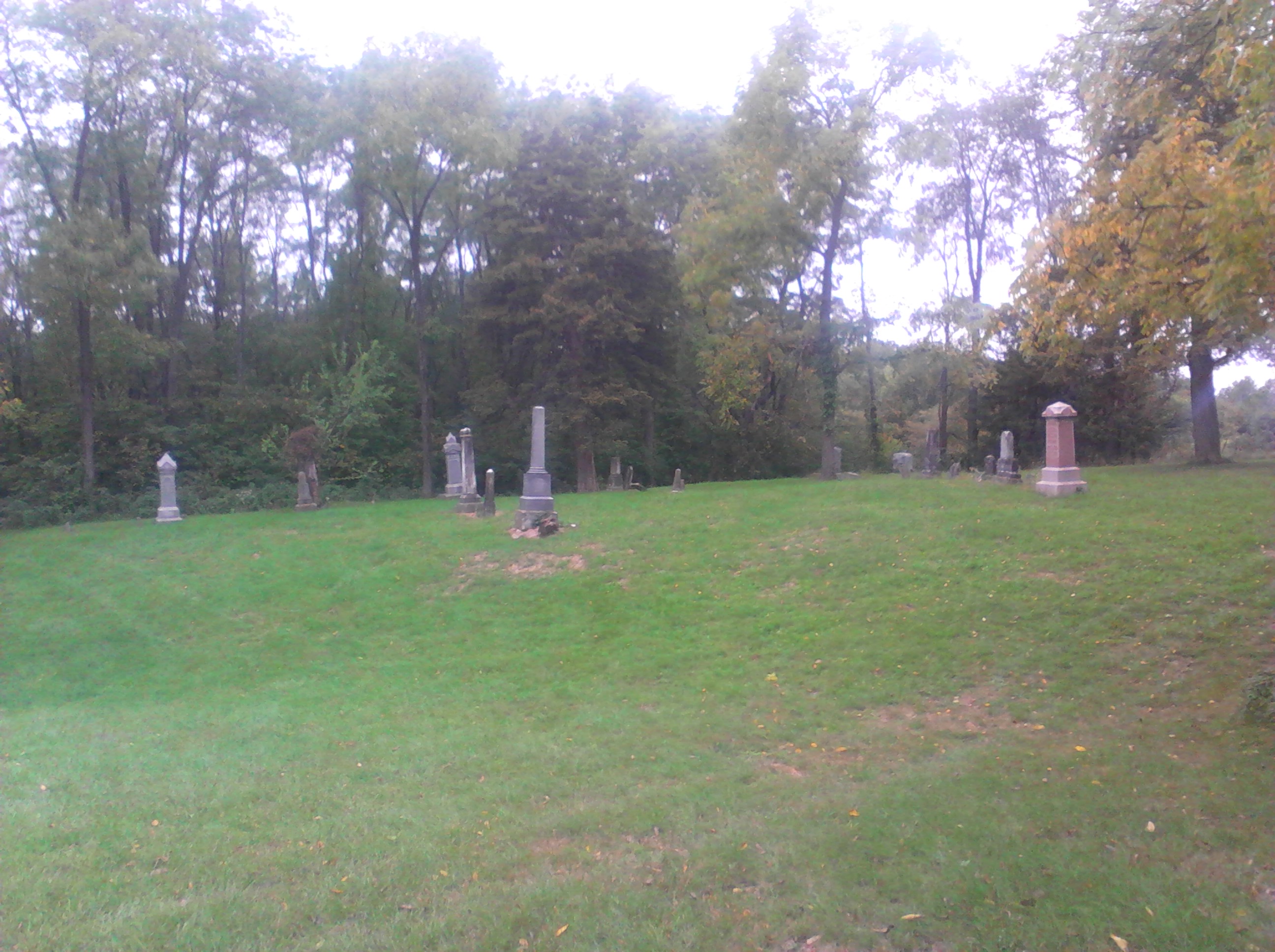
Concord Cemetery
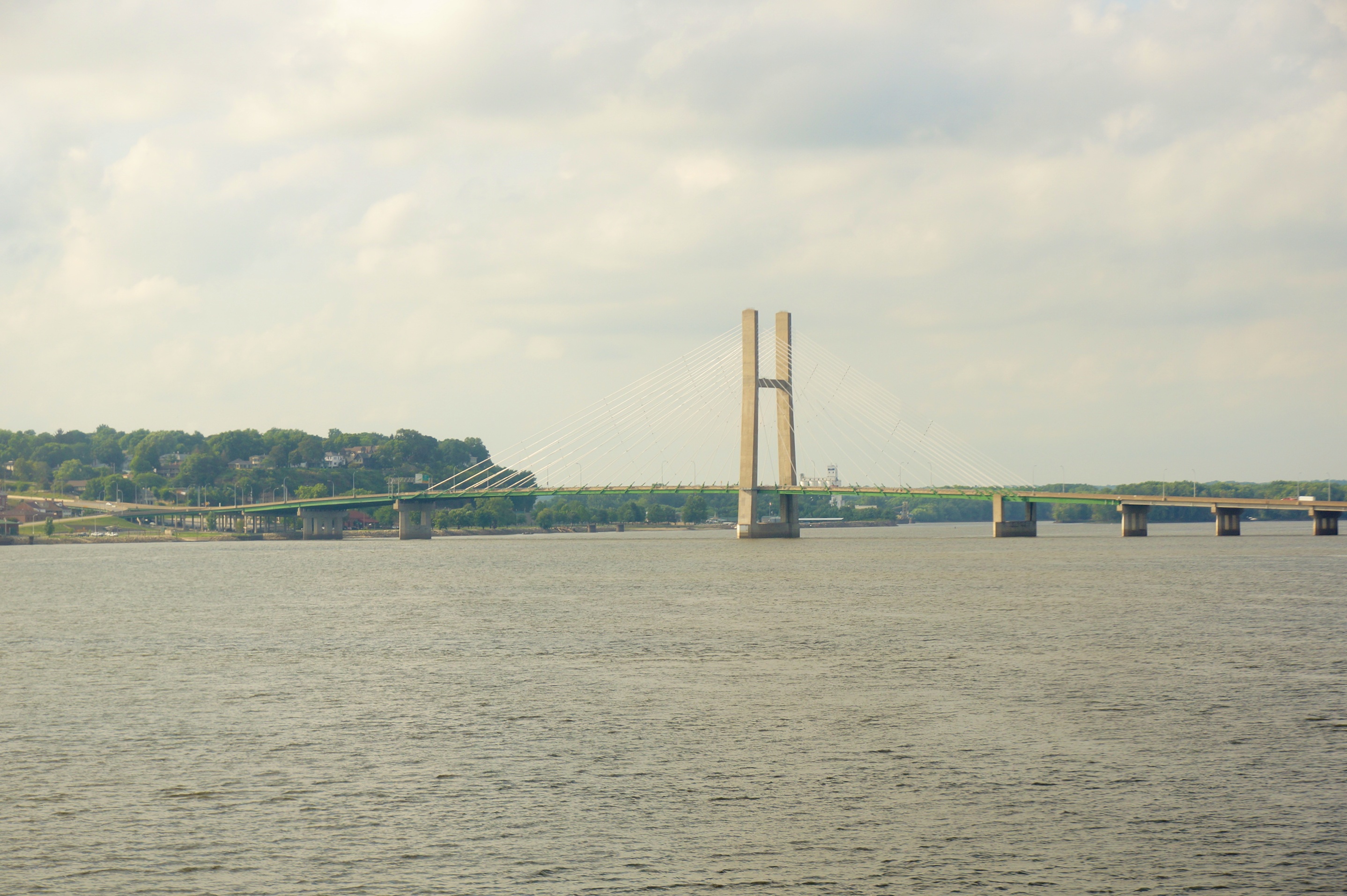
Glass Across the Country 28531
Topographic Map of Jefferson, IA, USA
Find elevation by address:

Places in Jefferson, IA, USA:
Places near Jefferson, IA, USA:
Co Rd 99, Wapello, IA, USA
Oakville
601 2nd St
Brass Island
Eliot
New Boston
3940 31st Ave
F Ave, Wapello, IA, USA
303 S 2nd St
Port Louisa
N 2nd St, Wapello, IA, USA
Wapello
Port Louisa
Highway 99
Wapello
Huron
th St, Wapello, IA, USA
Keithsburg
Washington St, New Boston, IL, USA
Keithsburg Township
Recent Searches:
- Elevation of 10370, West 107th Circle, Westminster, Jefferson County, Colorado, 80021, USA
- Elevation of 611, Roman Road, Old Ford, Bow, London, England, E3 2RW, United Kingdom
- Elevation of 116, Beartown Road, Underhill, Chittenden County, Vermont, 05489, USA
- Elevation of Window Rock, Colfax County, New Mexico, 87714, USA
- Elevation of 4807, Rosecroft Street, Kempsville Gardens, Virginia Beach, Virginia, 23464, USA
- Elevation map of Matawinie, Quebec, Canada
- Elevation of Sainte-Émélie-de-l'Énergie, Matawinie, Quebec, Canada
- Elevation of Rue du Pont, Sainte-Émélie-de-l'Énergie, Matawinie, Quebec, J0K2K0, Canada
- Elevation of 8, Rue de Bécancour, Blainville, Thérèse-De Blainville, Quebec, J7B1N2, Canada
- Elevation of Wilmot Court North, 163, University Avenue West, Northdale, Waterloo, Region of Waterloo, Ontario, N2L6B6, Canada
- Elevation map of Panamá Province, Panama
- Elevation of Balboa, Panamá Province, Panama
- Elevation of San Miguel, Balboa, Panamá Province, Panama
- Elevation of Isla Gibraleón, San Miguel, Balboa, Panamá Province, Panama
- Elevation of 4655, Krischke Road, Schulenburg, Fayette County, Texas, 78956, USA
- Elevation of Carnegie Avenue, Downtown Cleveland, Cleveland, Cuyahoga County, Ohio, 44115, USA
- Elevation of Walhonding, Coshocton County, Ohio, USA
- Elevation of Clifton Down, Clifton, Bristol, City of Bristol, England, BS8 3HU, United Kingdom
- Elevation map of Auvergne-Rhône-Alpes, France
- Elevation map of Upper Savoy, Auvergne-Rhône-Alpes, France