Elevation of Jantuwal Gaon, Uttarakhand, India
Location: India > Uttarakhand > Nainital >
Longitude: 79.5462943
Latitude: 29.3341569
Elevation: 1479m / 4852feet
Barometric Pressure: 85KPa
Elevation Map:
Satellite Map:
Related Photos:

Nainital Photography

Nainital Landscape

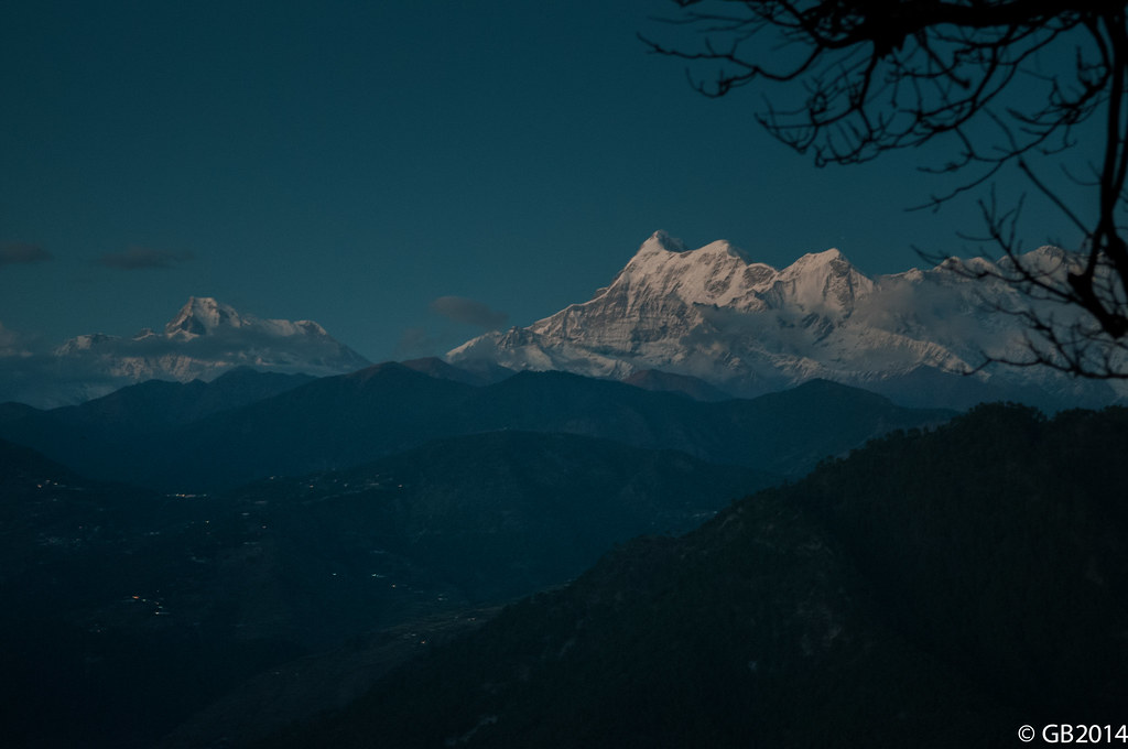
Himalaya view from Nainital.

Nainital Landscape

Nainital Lake

Nainital Landscape

Nainital Lake

Mango Lake, Nainital

Mango Lake, Nainital

Khurpa Tal | Nainital

Nainital Landscape

Heavenly View ! @Nainital

Road to Nainital

For the sake of a view

view from my room

Nainital at Night

Nainital Lake

View from Snow View Point

Himalayan View Point

Camel Back hill

Nainital Landscap

Nanda Devi peak, the highest mountain of India.(7816m) above MSL.

The lie of the land.

Nainital Landscape

Himalyan Landscape, India

Nainital Landscape

Nainital Landscape

Saat taal lake, uttaranchal, India

Himalyan landscape, India

Nainital Landscape
Layers of Mountains

Khurpa Tal | Nainital
Topographic Map of Jantuwal Gaon, Uttarakhand, India
Find elevation by address:

Places near Jantuwal Gaon, Uttarakhand, India:
Sattal
Sattal Lake
Dolmar
Naukuchia Taal
Bhowali
Jeolikote
Kathgodam
Harigarh Dalipsingh
Jangalia Gaon Ganja
Padampuri Bridge
Ladfora Talla
Nainital
South Gola Range
Nainital
Mallital
Devidhura
Sherwood College
1, Mallital, Nainital, Uttarakhand, India
Ramgarh
Bohra Gaon
Recent Searches:
- Elevation of Corso Fratelli Cairoli, 35, Macerata MC, Italy
- Elevation of Tallevast Rd, Sarasota, FL, USA
- Elevation of 4th St E, Sonoma, CA, USA
- Elevation of Black Hollow Rd, Pennsdale, PA, USA
- Elevation of Oakland Ave, Williamsport, PA, USA
- Elevation of Pedrógão Grande, Portugal
- Elevation of Klee Dr, Martinsburg, WV, USA
- Elevation of Via Roma, Pieranica CR, Italy
- Elevation of Tavkvetili Mountain, Georgia
- Elevation of Hartfords Bluff Cir, Mt Pleasant, SC, USA