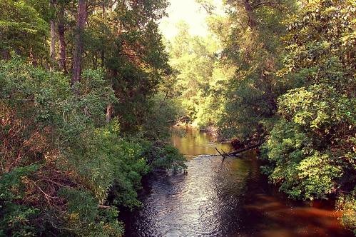
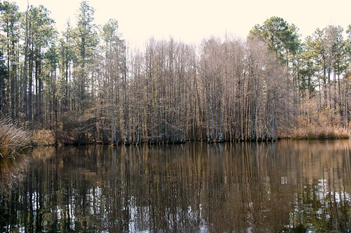
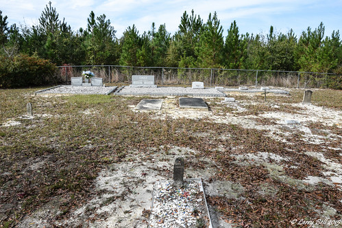
Elevation of James Jernigan Rd, Jay, FL, USA
Location: United States > Florida > Santa Rosa County > Jay >
Longitude: -86.98231
Latitude: 30.905347
Elevation: 53m / 174feet
Barometric Pressure: 101KPa
Related Photos:
Topographic Map of James Jernigan Rd, Jay, FL, USA
Find elevation by address:

Places near James Jernigan Rd, Jay, FL, USA:
Lewis Rd, Milton, FL, USA
Manning Creek
3253 Juniper Creek Rd
Springhill Road
Santa Rosa County
6110 Southridge Rd
FL-87, Milton, FL, USA
5899 Central School Rd
Allentown Road
8167 Whiting Field Cir
7855 Munson Hwy
7847 Munson Hwy
12107 Charlie Foster Rd
12107 Charlie Foster Rd
7700 Uss Enterprise St
8057 Deaton Bridge Rd
8057 Deaton Bridge Rd
6218 Clear Creek Rd
9429 Indian Ford Rd
6556 Mcvay Rd
Recent Searches:
- Elevation of Corso Fratelli Cairoli, 35, Macerata MC, Italy
- Elevation of Tallevast Rd, Sarasota, FL, USA
- Elevation of 4th St E, Sonoma, CA, USA
- Elevation of Black Hollow Rd, Pennsdale, PA, USA
- Elevation of Oakland Ave, Williamsport, PA, USA
- Elevation of Pedrógão Grande, Portugal
- Elevation of Klee Dr, Martinsburg, WV, USA
- Elevation of Via Roma, Pieranica CR, Italy
- Elevation of Tavkvetili Mountain, Georgia
- Elevation of Hartfords Bluff Cir, Mt Pleasant, SC, USA

