Elevation of Southridge Rd, Milton, FL, USA
Location: United States > Florida > Santa Rosa County > Milton >
Longitude: -87.061882
Latitude: 30.785924
Elevation: 57m / 187feet
Barometric Pressure: 101KPa
Elevation Map:
Satellite Map:
Related Photos:
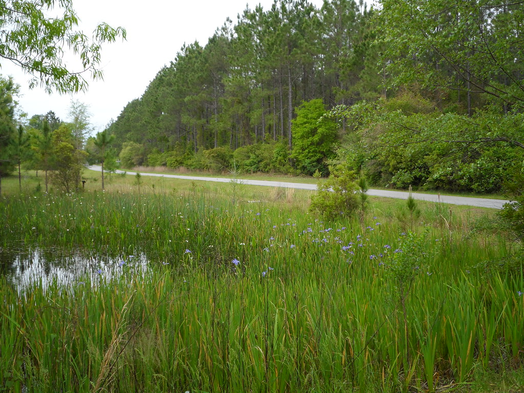
Blackwater3
Juniper Creek Trail - Blackwater River State Forest, Florida

Sweet Seasons Farm - Milton, Florida

TH-57 Sea Ranger's
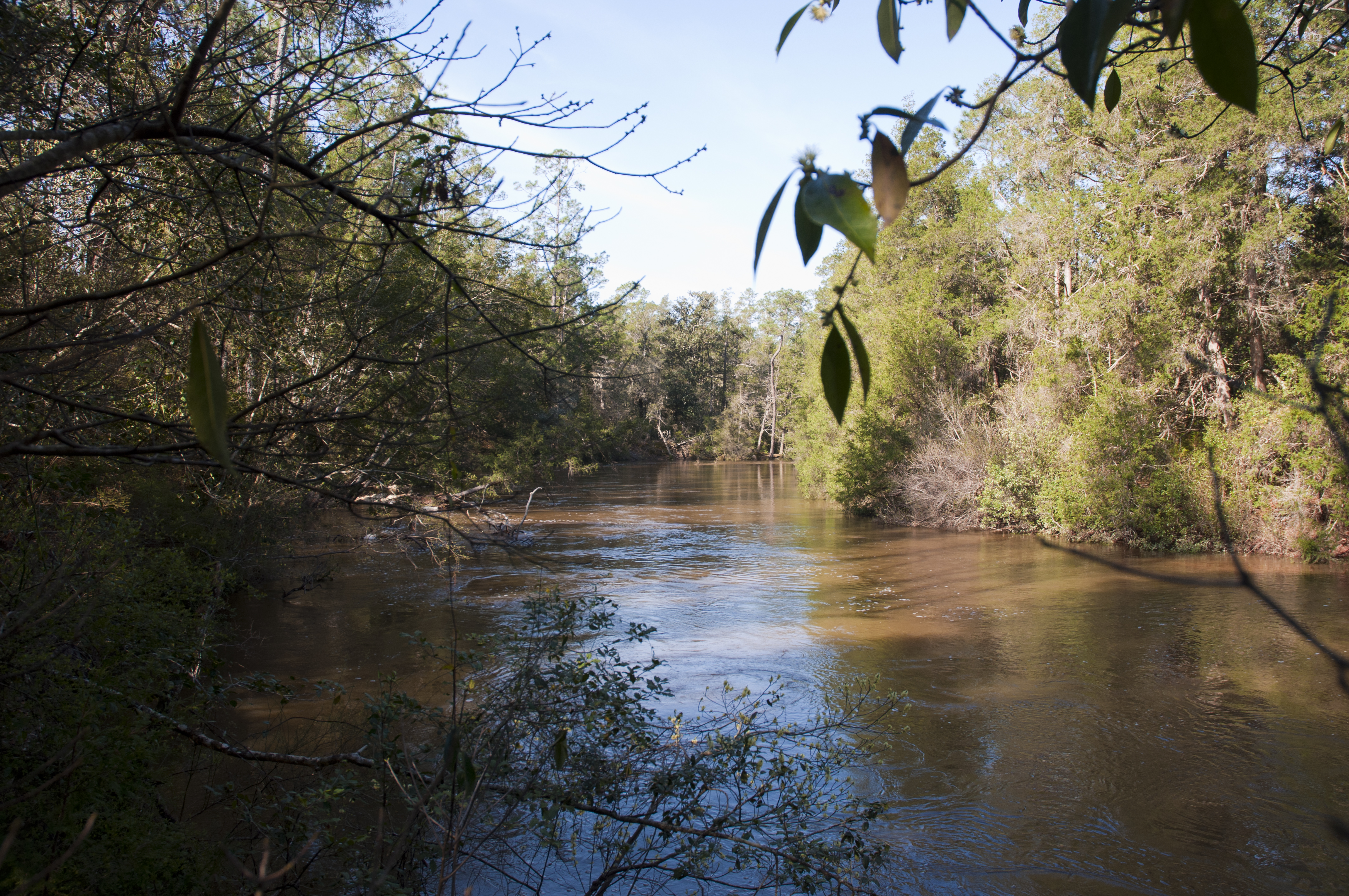
Blackwater River

Winter Wheat
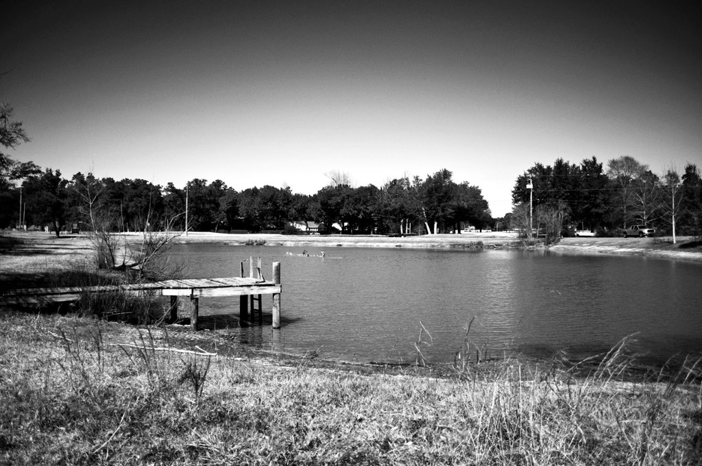
Ducks at play on the lake

Milton, Florida

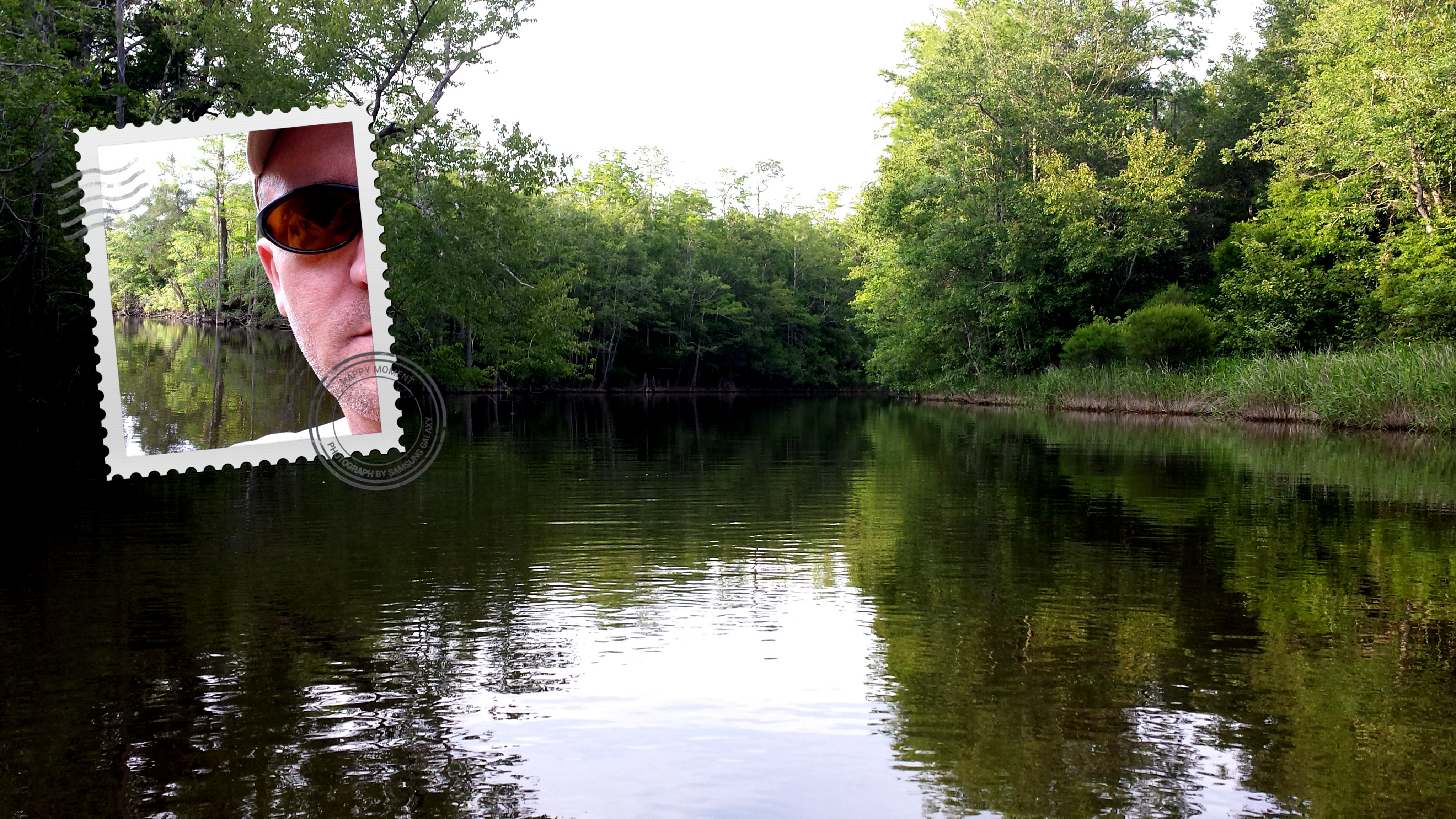
A Day on Blackwater River
Geologic Formations

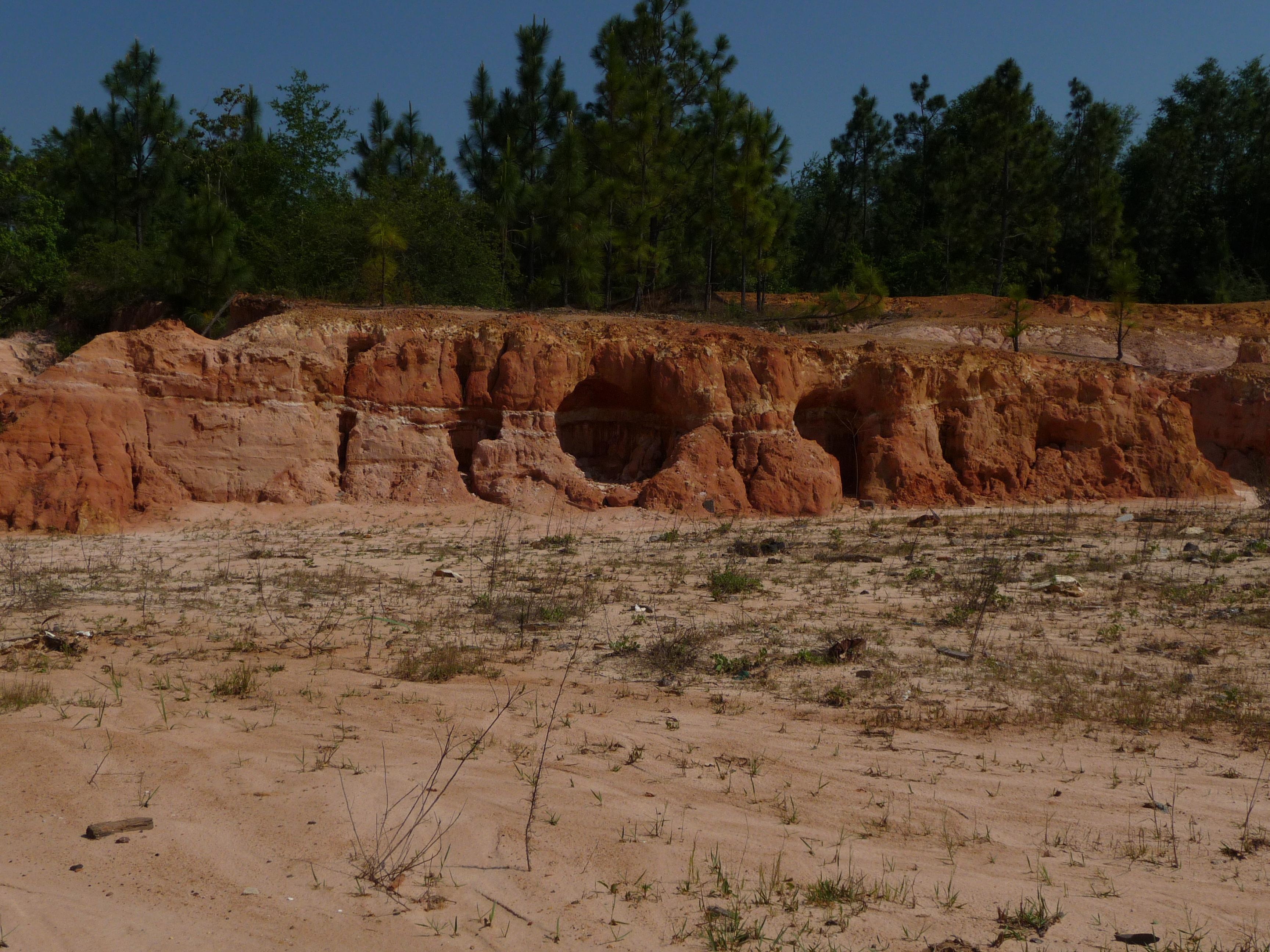
Bass' Claypits
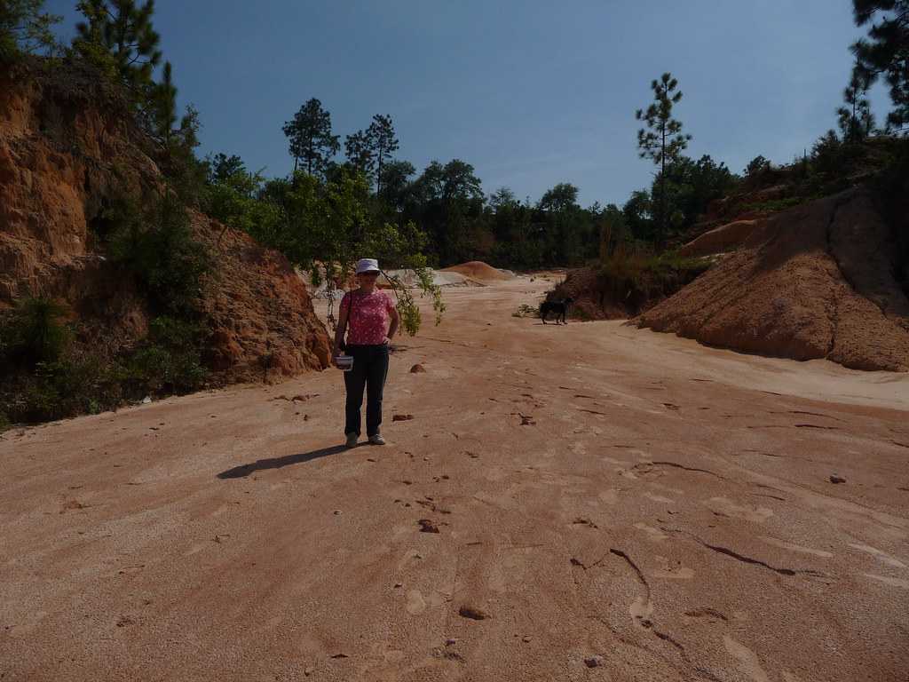
At Home in the Claypits

Tidwell Road
Topographic Map of Southridge Rd, Milton, FL, USA
Find elevation by address:

Places near Southridge Rd, Milton, FL, USA:
5899 Central School Rd
Allentown Road
FL-87, Milton, FL, USA
Manning Creek
6218 Clear Creek Rd
Springhill Road
Pine Lake Circle
Santa Rosa County
47 Pine Lake Dr
7700 Uss Enterprise St
7381 Copter Ln
8167 Whiting Field Cir
3253 Juniper Creek Rd
Begonia Street
FL-87, Milton, FL, USA
6309 Banyan Dr
6309 Banyan Dr
6309 Banyan Dr
Pine Blossom Road
Maddox Road
Recent Searches:
- Elevation of Corso Fratelli Cairoli, 35, Macerata MC, Italy
- Elevation of Tallevast Rd, Sarasota, FL, USA
- Elevation of 4th St E, Sonoma, CA, USA
- Elevation of Black Hollow Rd, Pennsdale, PA, USA
- Elevation of Oakland Ave, Williamsport, PA, USA
- Elevation of Pedrógão Grande, Portugal
- Elevation of Klee Dr, Martinsburg, WV, USA
- Elevation of Via Roma, Pieranica CR, Italy
- Elevation of Tavkvetili Mountain, Georgia
- Elevation of Hartfords Bluff Cir, Mt Pleasant, SC, USA