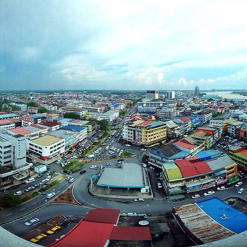
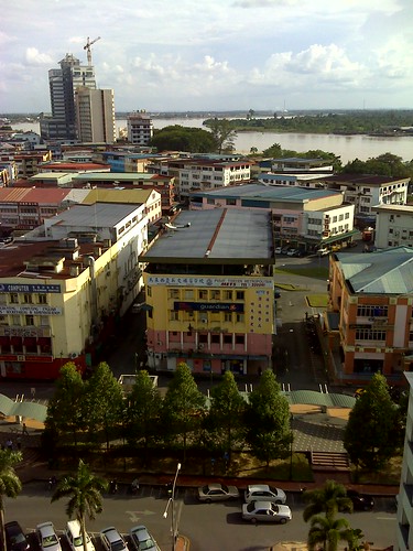
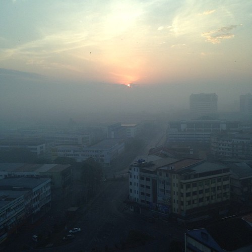
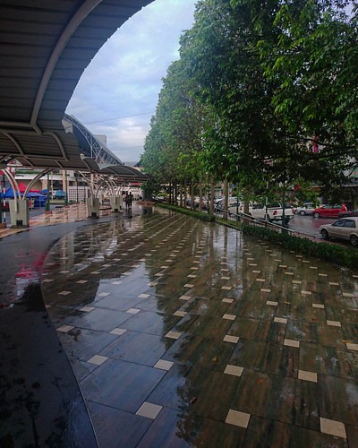
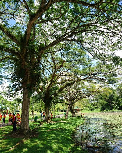
Elevation of Jalan Undan, Jln Undan, Sibu, Sarawak, Malaysia
Location: Malaysia > Sarawak > Sibu > Pekan Sibu >
Longitude: 111.897647
Latitude: 2.2893165
Elevation: 13m / 43feet
Barometric Pressure: 101KPa
Related Photos:
Topographic Map of Jalan Undan, Jln Undan, Sibu, Sarawak, Malaysia
Find elevation by address:

Places near Jalan Undan, Jln Undan, Sibu, Sarawak, Malaysia:
Lorong Undan 2
Lorong Undan 1a
Lorong Permai Jaya 1
42, Jalan Tunku Abdul Rahman
752&750, 3, Jalan Tunku Abdul Rahman
Lorong Kapor 2
Pekan Sibu
Tiong Hua Road Kompia
Ika Food Industries Sdn. Bhd. @ Jalan Ding Lik Kwong
Jalan Olive
Bahagian Sibu
Persiaran Brooke
Sibu
Sibu
Stadium Tun Zaidi
Bukit Kemuyang
Jalan Pakis
Jalan Pakis
Jalan Pakis
Stapang Bridge, Stapang
Recent Searches:
- Elevation of Corso Fratelli Cairoli, 35, Macerata MC, Italy
- Elevation of Tallevast Rd, Sarasota, FL, USA
- Elevation of 4th St E, Sonoma, CA, USA
- Elevation of Black Hollow Rd, Pennsdale, PA, USA
- Elevation of Oakland Ave, Williamsport, PA, USA
- Elevation of Pedrógão Grande, Portugal
- Elevation of Klee Dr, Martinsburg, WV, USA
- Elevation of Via Roma, Pieranica CR, Italy
- Elevation of Tavkvetili Mountain, Georgia
- Elevation of Hartfords Bluff Cir, Mt Pleasant, SC, USA
