Elevation of Jacobs Mountain Road, Jacobs Mountain Rd, Assonet, MA, USA

Location: United States > Massachusetts > Bristol County > Freetown >

Longitude: -71.039779

Latitude: 41.7967291

Elevation: 36m / 118feet

Barometric Pressure: 101KPa

Elevation Map:

elevation map of Jacobs Mountain Road, Jacobs Mountain Rd, Assonet, MA, USA

Satellite Map:

Satellite map of Jacobs Mountain Road, Jacobs Mountain Rd, Assonet, MA, USA

Related Photos:

morning autumn sun mist fall fog sunrise landscape pentax massachusetts newengland granite paranormal magical quarry hdr myst freetown tonemapped assonet assonetledge blinkagain trigphotography frankcgrace
Early Morning Myst
christmas holiday green lights massachusetts taunton
Christmas City
blackandwhite wednesday large 0514 bigguns battleshipcove fallriverma silverefex
View from the Bridge
street house building rock highlands painted massachusetts victorian historic fallriver nrhp boglehill
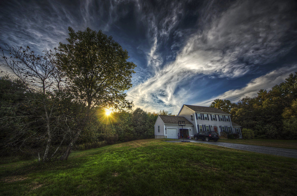
Rachael Trafford House (1882)
square squareformat gotham iphoneography instagramapp uploaded:by=instagram foursquare:venue=5049048ae4b0a18a7f49a785
View from the last leg
bridge winter cold sunrise concrete unitedstates steel massachusetts under somerset fallriver truss tauntonriver bragabridge 3span
Under the Bridge
bridge winter cold sunrise river ma concrete unitedstates massachusetts newengland somerset span trusses taunton fallriver bragabridge rivetedsteel 3span
The Sun Rises Over Fall River, Massachusetts
portrait blackandwhite bw building love composite stairs ma outside engagement spring couple massachusetts cloning newengland mass lakeville quitticaswatertreatmentplant
Things You Don't Need to Say
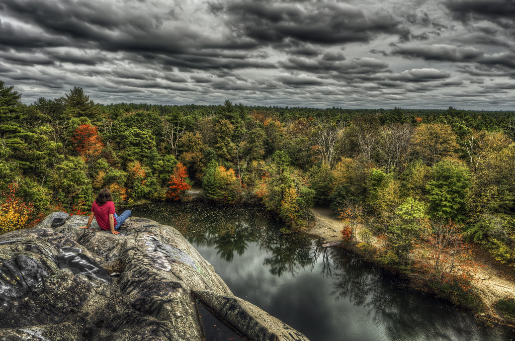
autumn color fall clouds ma photography stage massachusetts newengland haunted spooky foliage granite quarry hdr highdynamicrange fallriver freetown tonemapped assonet watuppa bridgewatertriangle blinkagain trigphotography pukwudgie frankcgrace freetownfallriverstateforest
The Assonet Ledge
building architecture concrete cityhall massachusetts center government brutalist fallriver
View from Government Center
building downtown massachusetts union bank center government savings fallriver
Union Savings Bank
massachusetts wwii battleship worldwartwo ussmassachusetts leytegulf jeanbart fallrivermassachusetts bb59 southdakotaclassbattleship bigmamie batleshipcove
USS Massachusetts
plant tower electric night point concrete lights industrial power massachusetts somerset cooling brayton arch2000s boglehill
Lee's River Rising
Day 353 of 365 Days of Love!
Day 331 of 365 Days of Love!
for industrial tour massachusetts society sia fallriver snec archelogy 2013
SNEC-SIA Spring Tour 2013
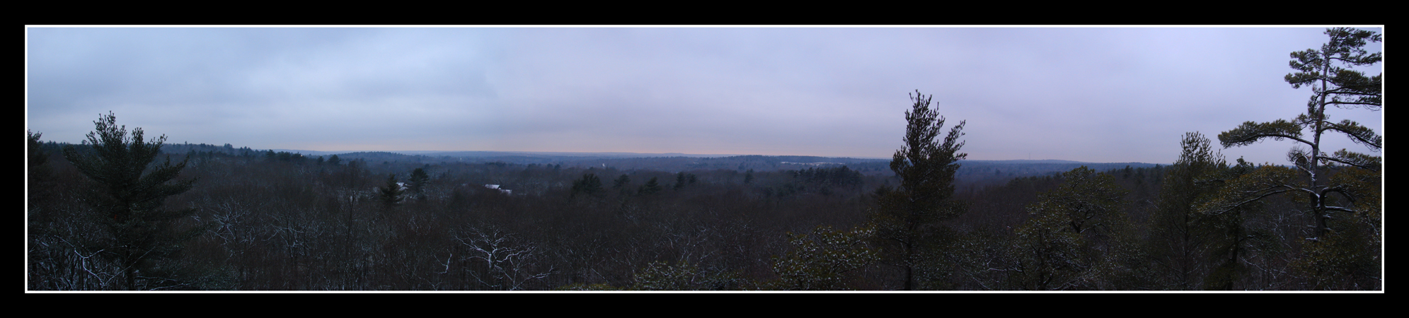
trees sunset panorama sun rock set massachusetts horizon profile lakeville profilerock
The View Up High
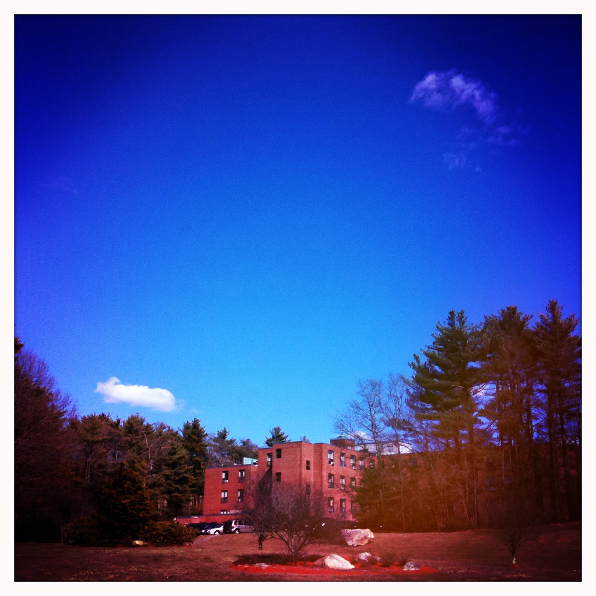
New Bedford Rehabilitation Hospital
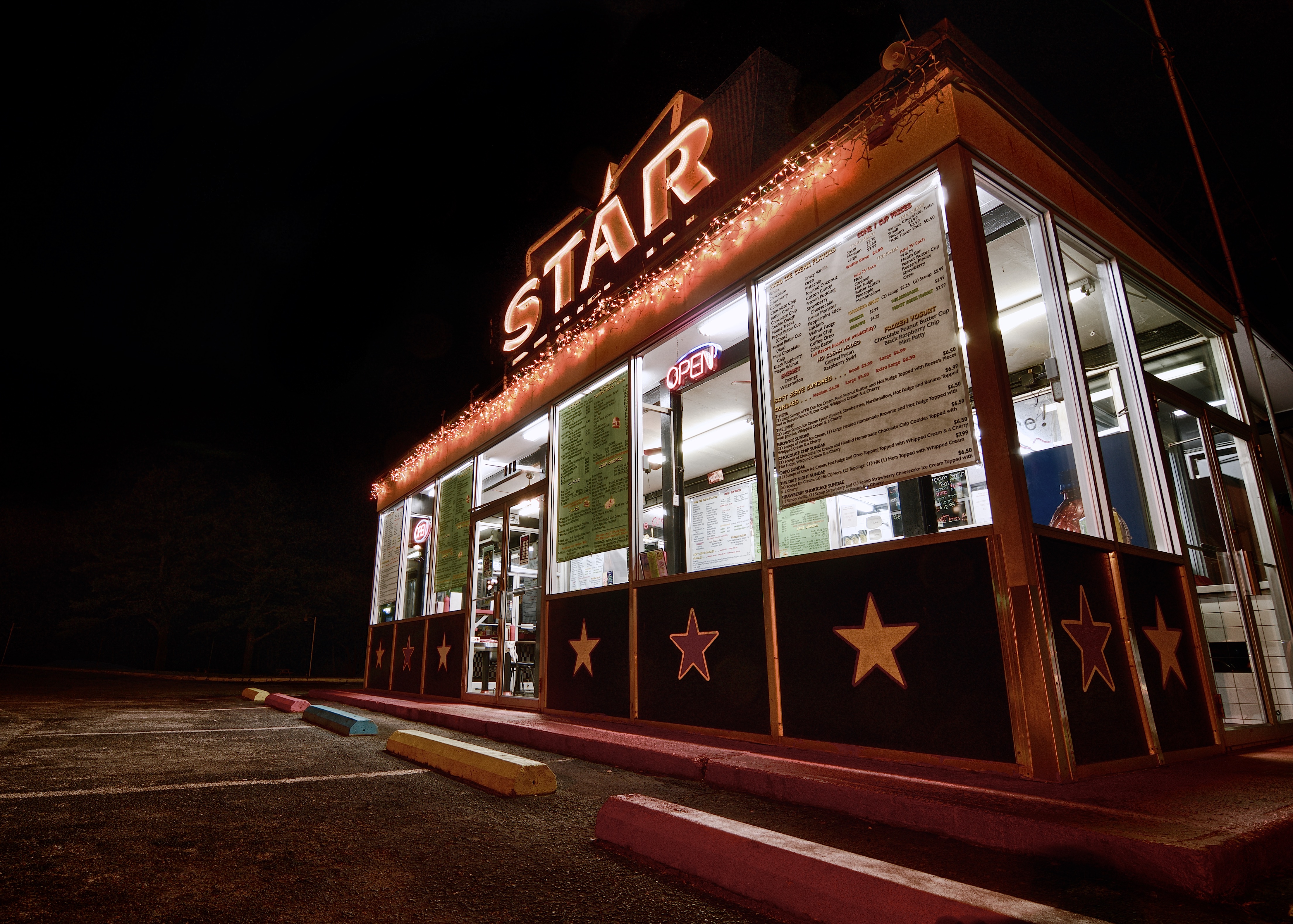
star nikon massachusetts diner hdr lakeville d7000 tokinaatx116prodxaf1116mmf28
Star Drive-In
sky copyright usa canon ma photography us do all greg massachusetts 4 adobe rights use mackay mm dslr gregory without reserved permission watermark settings lightroom 20041 lakeville 40d canon40d canonlens1855 usingacanoneos40d gregmackay mackayphotography gmack24 gregmackayphotography quittacaswatertreatmentplant eastfreetown adobelightroom4 500ƒ14iso thisphotowastakenonmay16 2010inashleyheights
Quittacas water treatment plant
star nikon massachusetts diner hdr lakeville d7000 tokinaatx116prodxaf1116mmf28
Star Drive-In, Alternate
blue autumn trees sky sun house fall home grass clouds yard landscape ma jeep pentax massachusetts lawn newengland dramatic wideangle driveway lane sherwoodforest 8mm ultrawide hdr homesweethome k5 photomatix acushnet tonemapped trigphotography frankcgrace
There's No Place Like...
trees sky tree green table landscape ma golden warm picnic glow break massachusetts warmth newengland area fairhaven hdr senset acushnet tonemapped flickraward whitesfactory pentaxart
The Break Area
Summer Sunset
sunset sun field grass clouds river landscape ma golden town rocks glow pentax country colonial newengland fields glowing indians fairhaven dartmouth hdr colony k5 massasoit wampanoag towne acushnet tonemapped pentaxart hamlinstreet cushenagg cushnet ponegansetts
The 'Cushenaian' Sunset
building tree mill window clouds river table ma ruins picnic factory pentax stones dam decay framed massachusetts newengland historic textile cotton frame trust land whites fairhaven hdr preservation k5 photomatix acushnet tonemapped pentaxart
The Way Out is Through
Sunset on Hamlin's Pond
instagramapp square squareformat iphoneography uploaded:by=instagram
A little lift of the brush & you have a great sky painting!:) #skypaint #landscape #sky #time #artphoto #art #photooftheday #blueskys #natural #paint #painting #SecretParadise
pond fireworks sassaquin tokinaatx116prodxaf1116mmf28
Sunset Airburst
sky reflection pond nikon massachusetts turnerspond 365project northdartmouth d7000 afsdxvrzoomnikkor18200mmf3556gifedii 3652012
175/365 - Right Side Up?
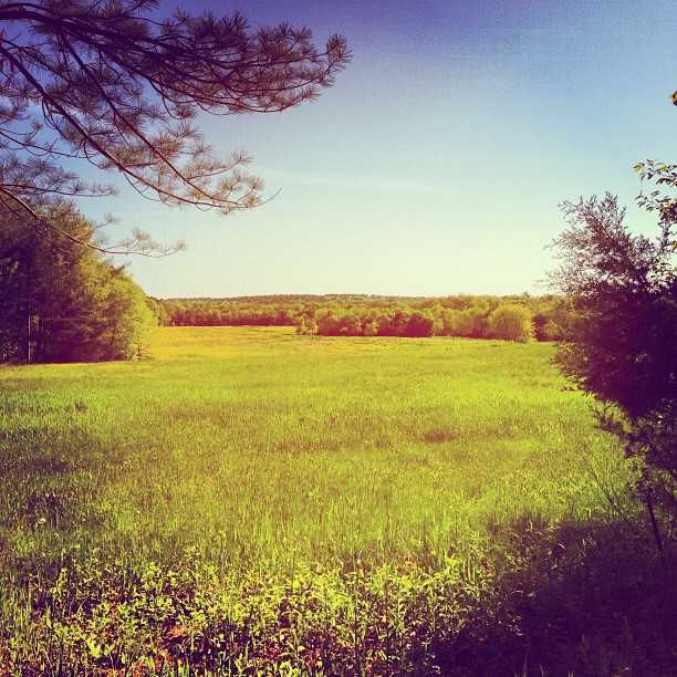
The Ethereal Field
november favorite mist reflection water misty fog sunrise river landscape ma one photo scenery shot massachusetts smoke newengland olympus best smoking number explore lucky marc e300 mass opus taunton silvercity tauntonriver explored utatafeature marcfoto marcphoto 02780
Misty Morning
Sun Setting on Hamlin's Pond
Dusk Bridge
ma stream unitedstates massachusetts newengland waterway buzzardsbay newbedford acushnet wampanoags acushnetriver hamlinstreet hamilnpond hamlinspond
The Acushnet River
flickrandroidapp:filter=none
This came rolling in.
sunset
102-13-gorgeous-sunset
fern green nikon bokeh massachusetts freetown 365project d7000 freetownstateforest afsdxvrzoomnikkor18200mmf3556gifedii 3652012
181/365 - Edge of the Woods
IMAG0636~2
moments ago: february 7, 2012