Elevation of Anchor Dr, Somerset, MA, USA
Location: United States > Massachusetts > Bristol County > Somerset >
Longitude: -71.120365
Latitude: 41.7768315
Elevation: 3m / 10feet
Barometric Pressure: 101KPa
Elevation Map:
Satellite Map:
Related Photos:

The Sun Rises Over Fall River, Massachusetts

Early Morning Myst

Under the Bridge

The Assonet Ledge

View from the Bridge

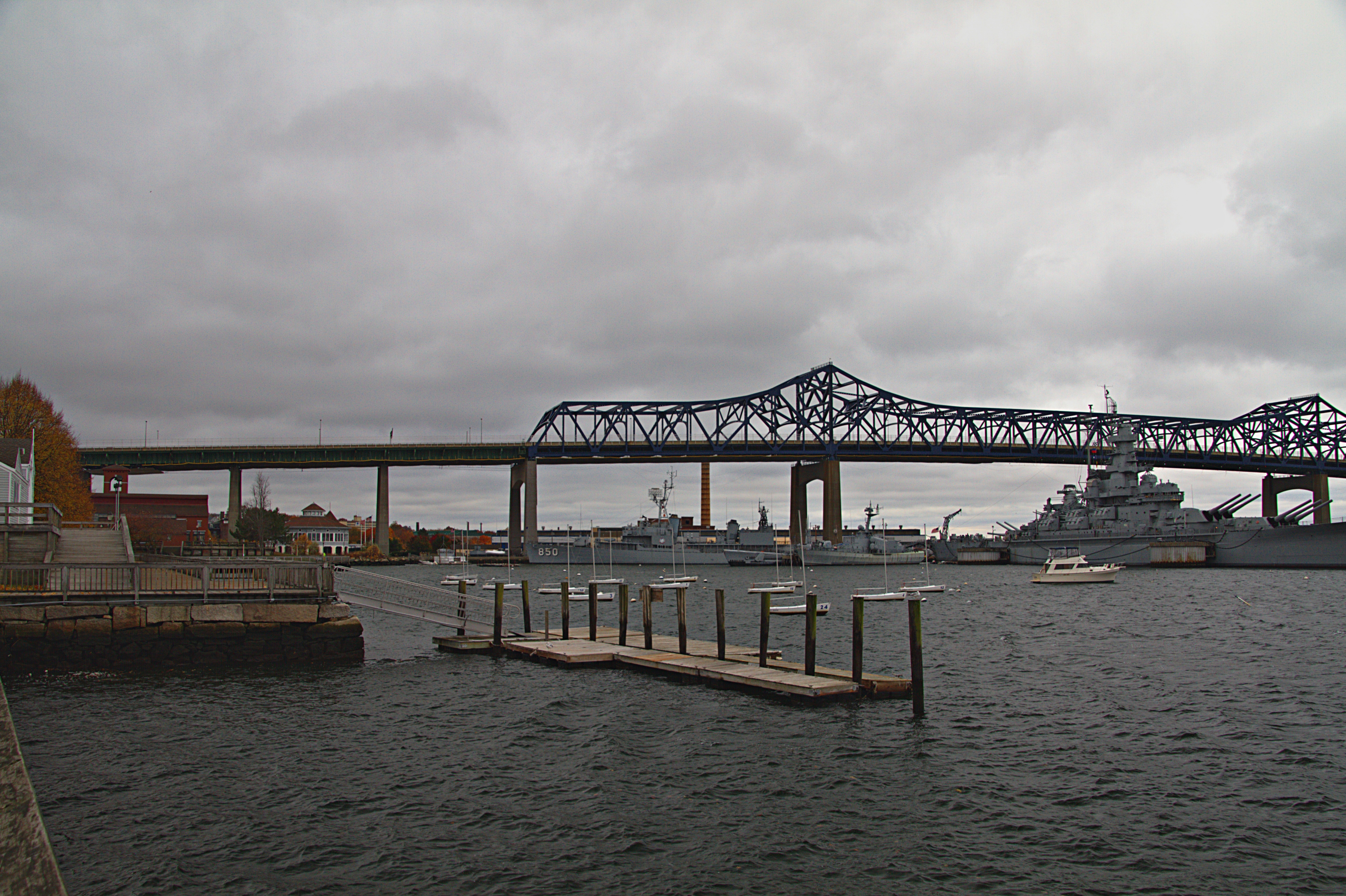
Battleship Cove - Front View

cup • cat • chair : floor's eye view

Narrow Center for the Arts - Theater

Narrow Canter for the Arts - Theater
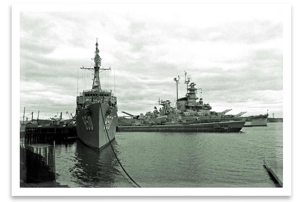
Battleship Cove

Sunset at Battleship Cove

The Lizzie Borden Bed & Breakfast/ Museum

Market Street Warren

with ripples

a myth in the making

Old Durfee High School – Fall River, Massachusetts

DAY DREAMING

US-MA Fall River - USS Mass Deck 6k 2015-08-30

US-MA Fall River - Turret's Booth 2015-08-30 6k

Falling water revisited

US-MA Fall River - USS Lionfish Sub Generators 2015-08-30 6k
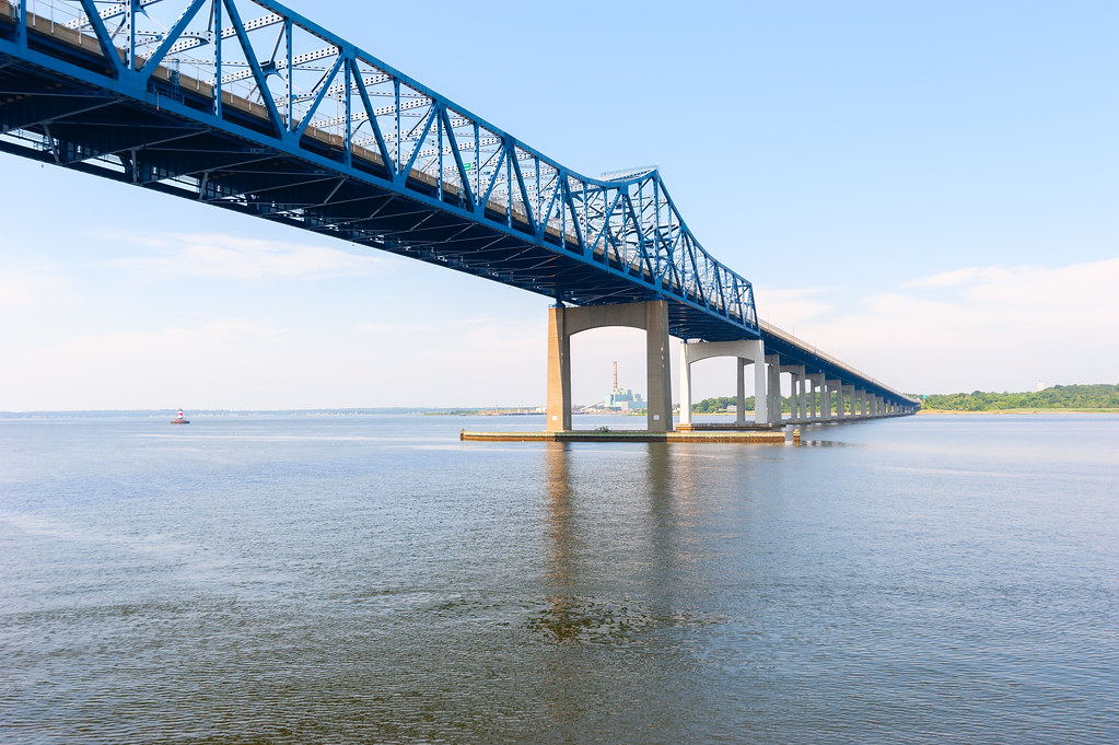
Charles M. Braga Jr. Memorial Bridge

A different #perspective on the sunset from the Barrington Bike Path bridge.

Profile Rock Sunset

The Golden so-called Dark Woods

Taylor Green at the Ledge

Looking For Greener Pasture
Battleship Cove - Fall River

Entering the Circle

Rehoboth, MA Foundry Fire

Brightman Street Bridge, Fall River, MA

Peakaboo Sunset

Barrington River at Dawn

July Sky
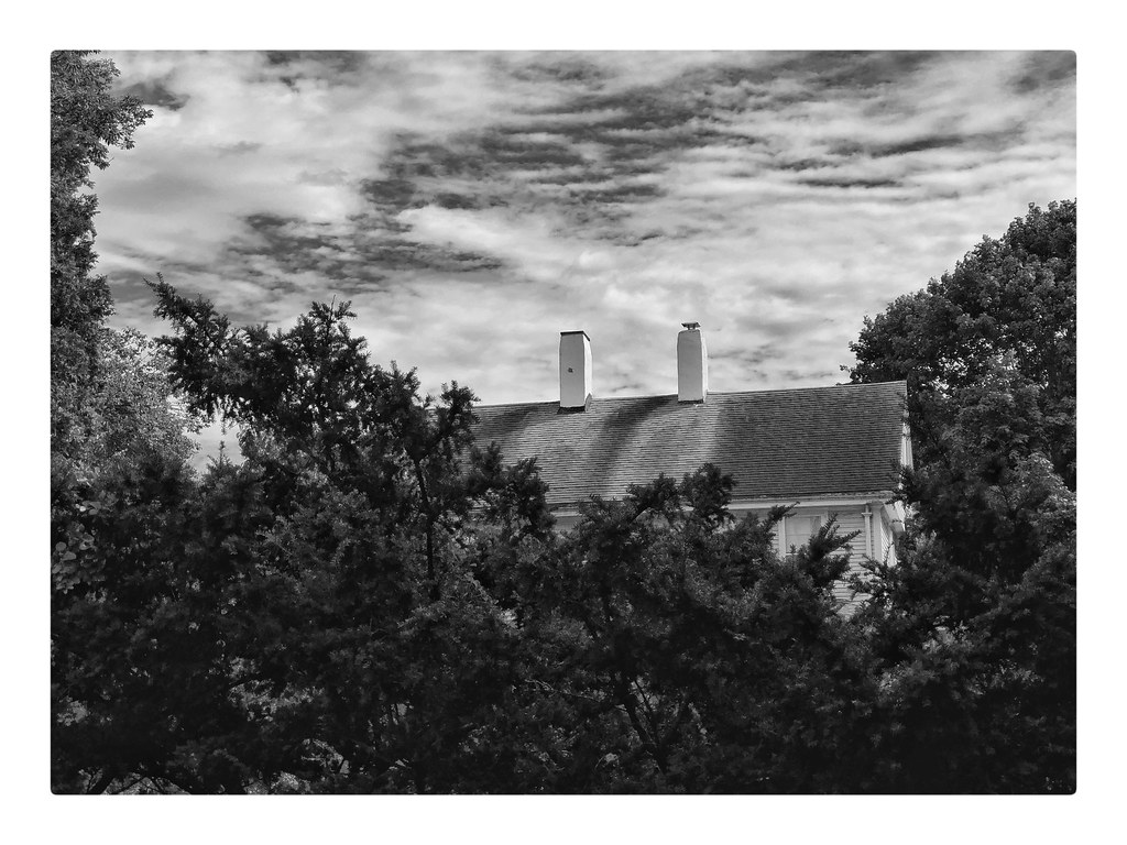
TWO CHIMNEYS

1870 Boathouse at 38 Matthewson Rd Barrington RI

the edge of the ledge

175/365 - Right Side Up?

Sunset Airburst

220/365 - Along the Tracks
Fall River_20090418_037
Topographic Map of Anchor Dr, Somerset, MA, USA
Find elevation by address:

Places near Anchor Dr, Somerset, MA, USA:
74 School St, Somerset, MA, USA
Somerset
4801 N Main St
81 Commerce Dr
2954 Elm St
Bristol County
631 Airport Rd
3671 N Main St
25 Central Ave, Assonet, MA, USA
N Main St, Fall River, MA, USA
2136 Pleasant St
10 Buena Vista Ave
31 Buena Vista Ave
Fall River, MA, USA
1847 Somerset Ave
North Main Street
Morrison Street
500 Herman St
Herman Street
59 S Main St
Recent Searches:
- Elevation of Corso Fratelli Cairoli, 35, Macerata MC, Italy
- Elevation of Tallevast Rd, Sarasota, FL, USA
- Elevation of 4th St E, Sonoma, CA, USA
- Elevation of Black Hollow Rd, Pennsdale, PA, USA
- Elevation of Oakland Ave, Williamsport, PA, USA
- Elevation of Pedrógão Grande, Portugal
- Elevation of Klee Dr, Martinsburg, WV, USA
- Elevation of Via Roma, Pieranica CR, Italy
- Elevation of Tavkvetili Mountain, Georgia
- Elevation of Hartfords Bluff Cir, Mt Pleasant, SC, USA