Elevation of Jack Dugger Rd, Sanderson, FL, USA
Location: United States > Florida > Baker County > Sanderson >
Longitude: -82.281218
Latitude: 30.317764
Elevation: 41m / 135feet
Barometric Pressure: 101KPa
Elevation Map:
Satellite Map:
Related Photos:

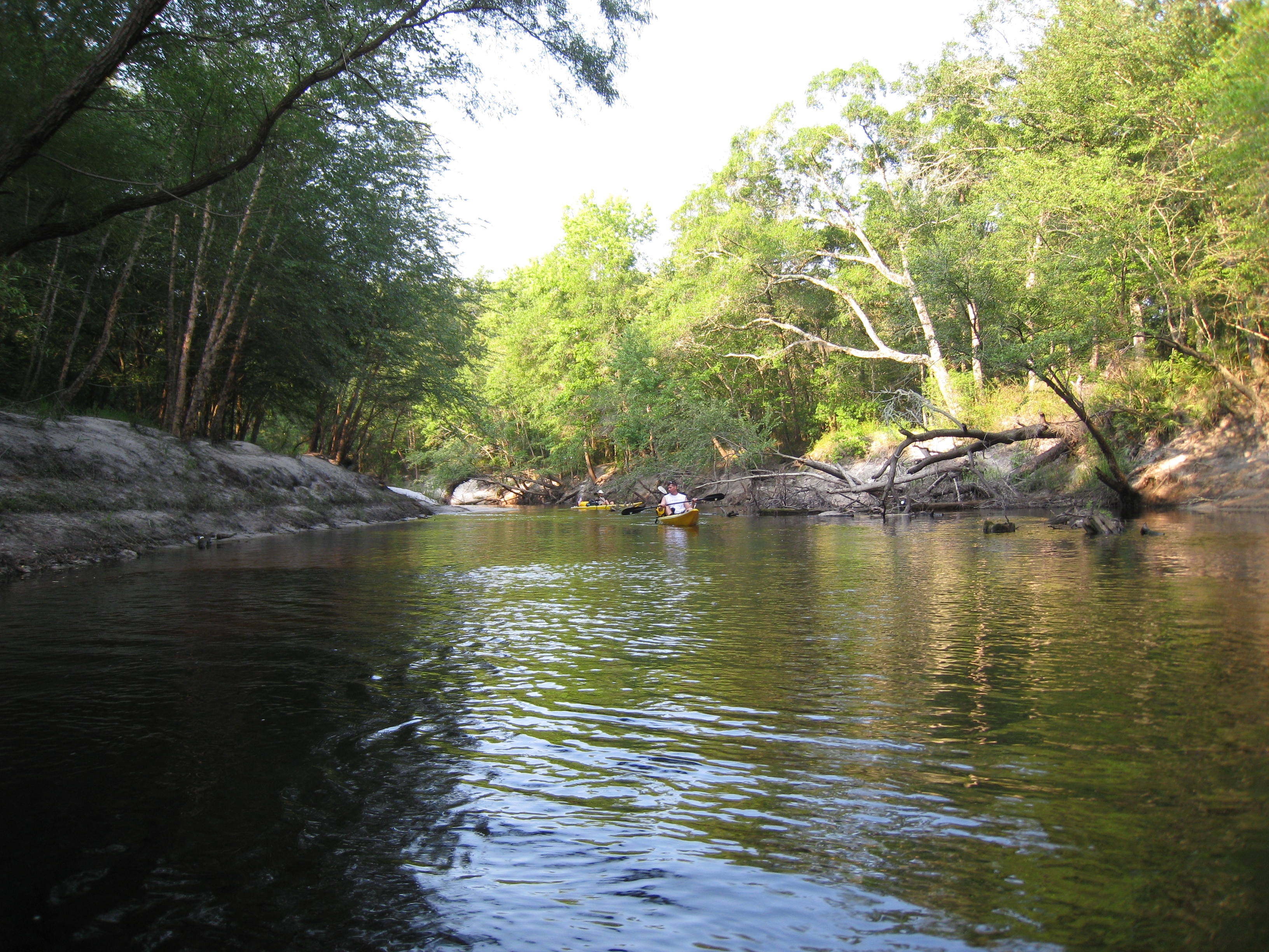
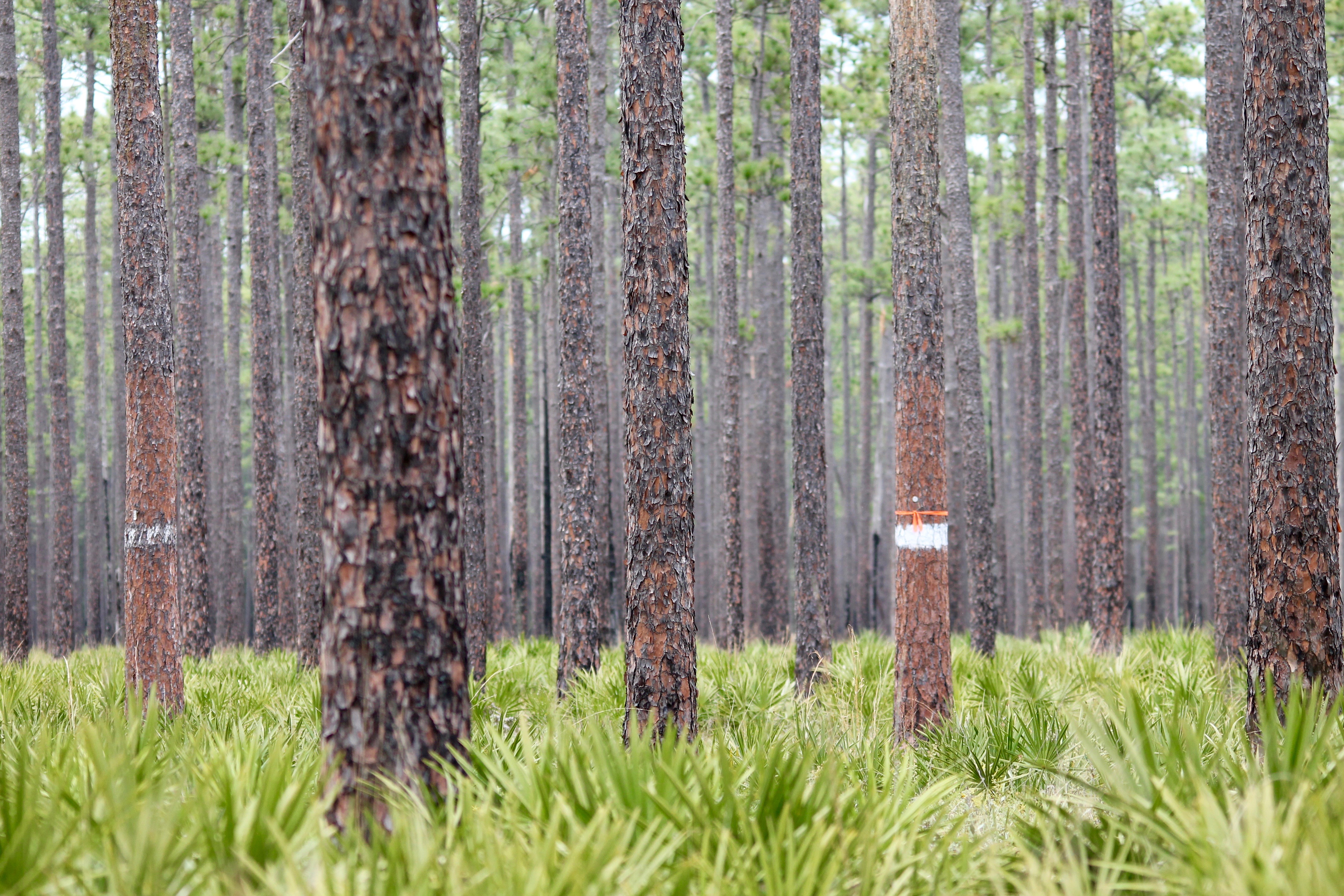
Olustee Camp Out
stmarys08-9
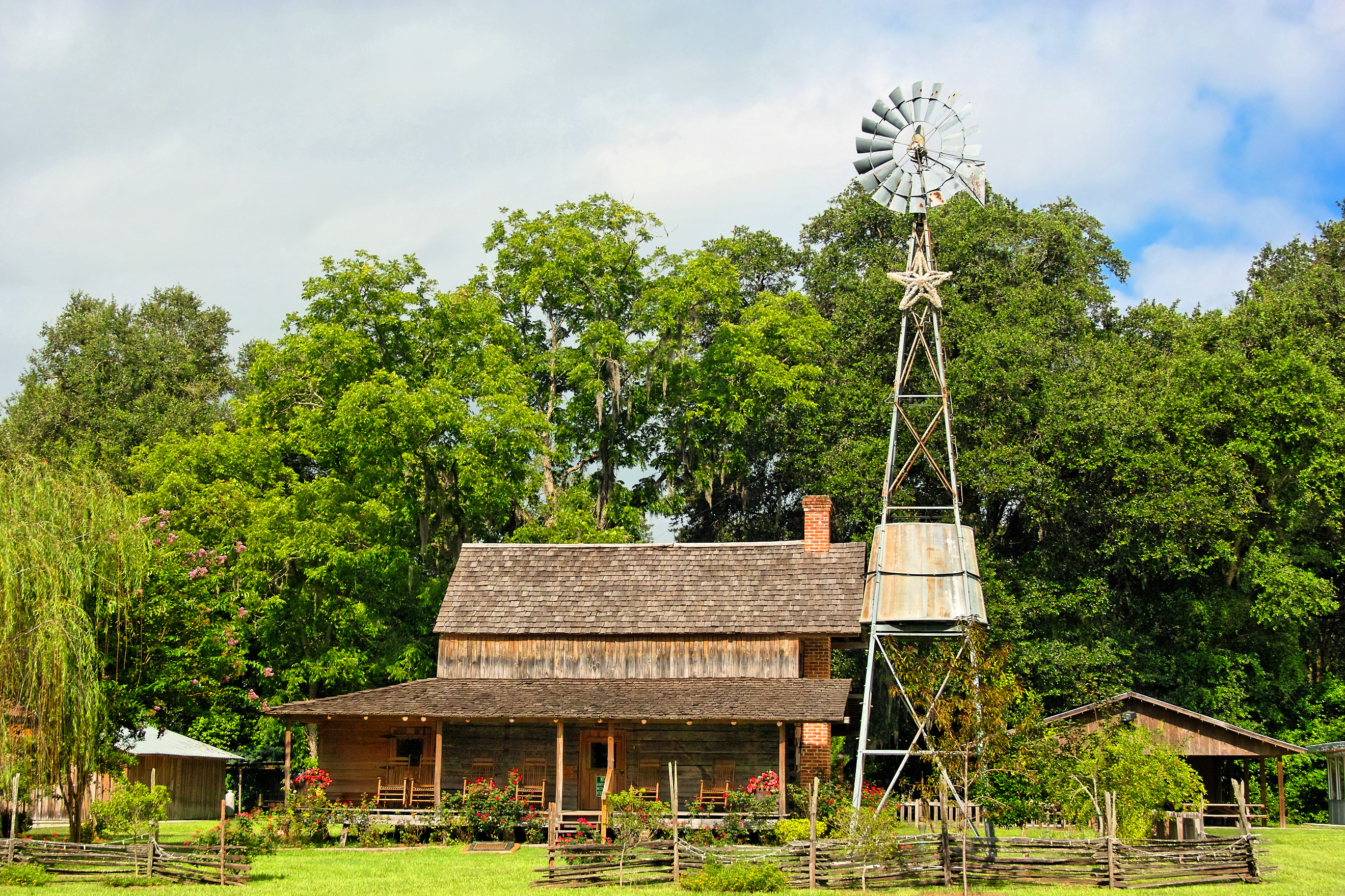
Burnsed Bunkhouse

Old Doors
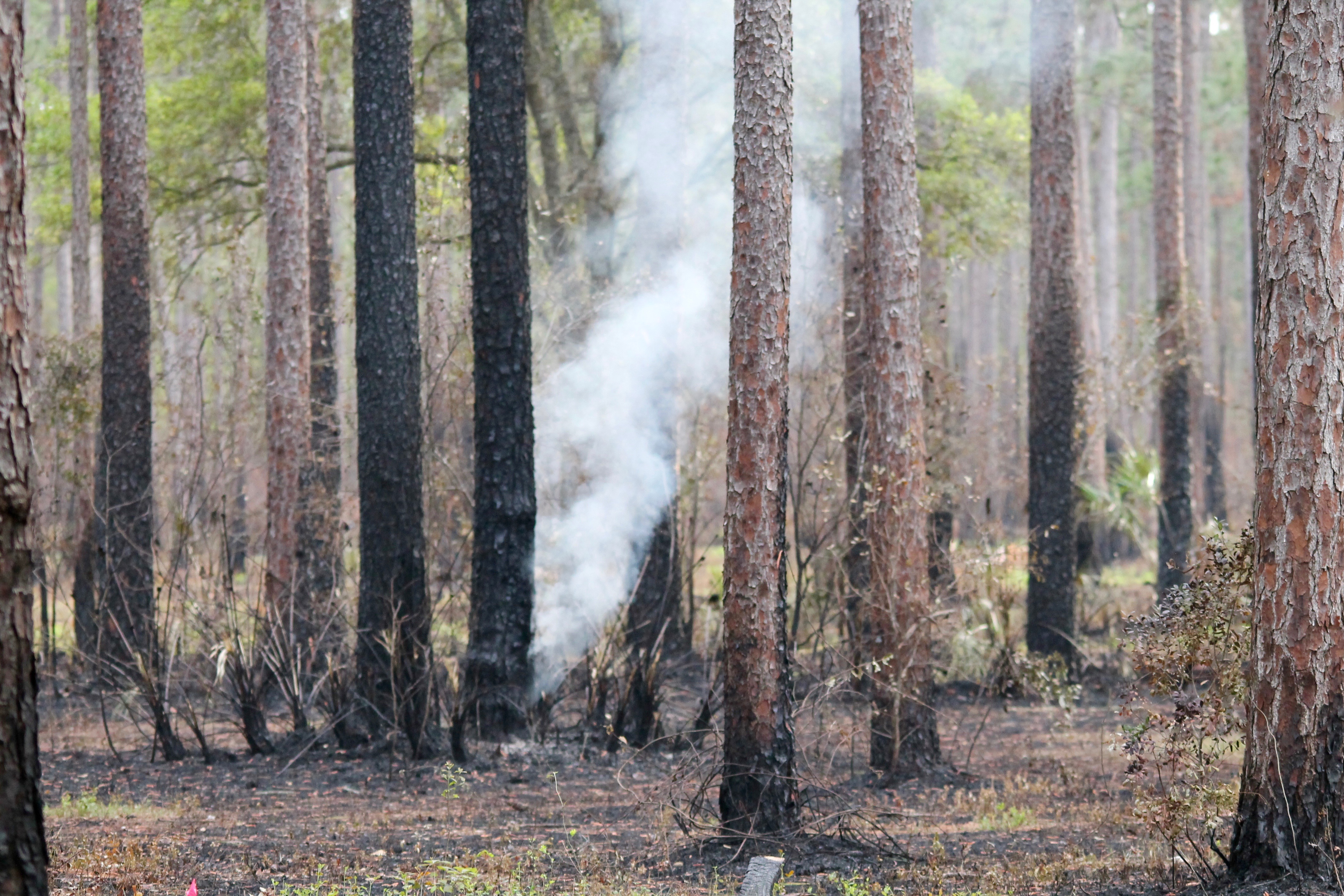
Smoldering Ground Fire
Olustee Battlefield

Olustee Battlefield
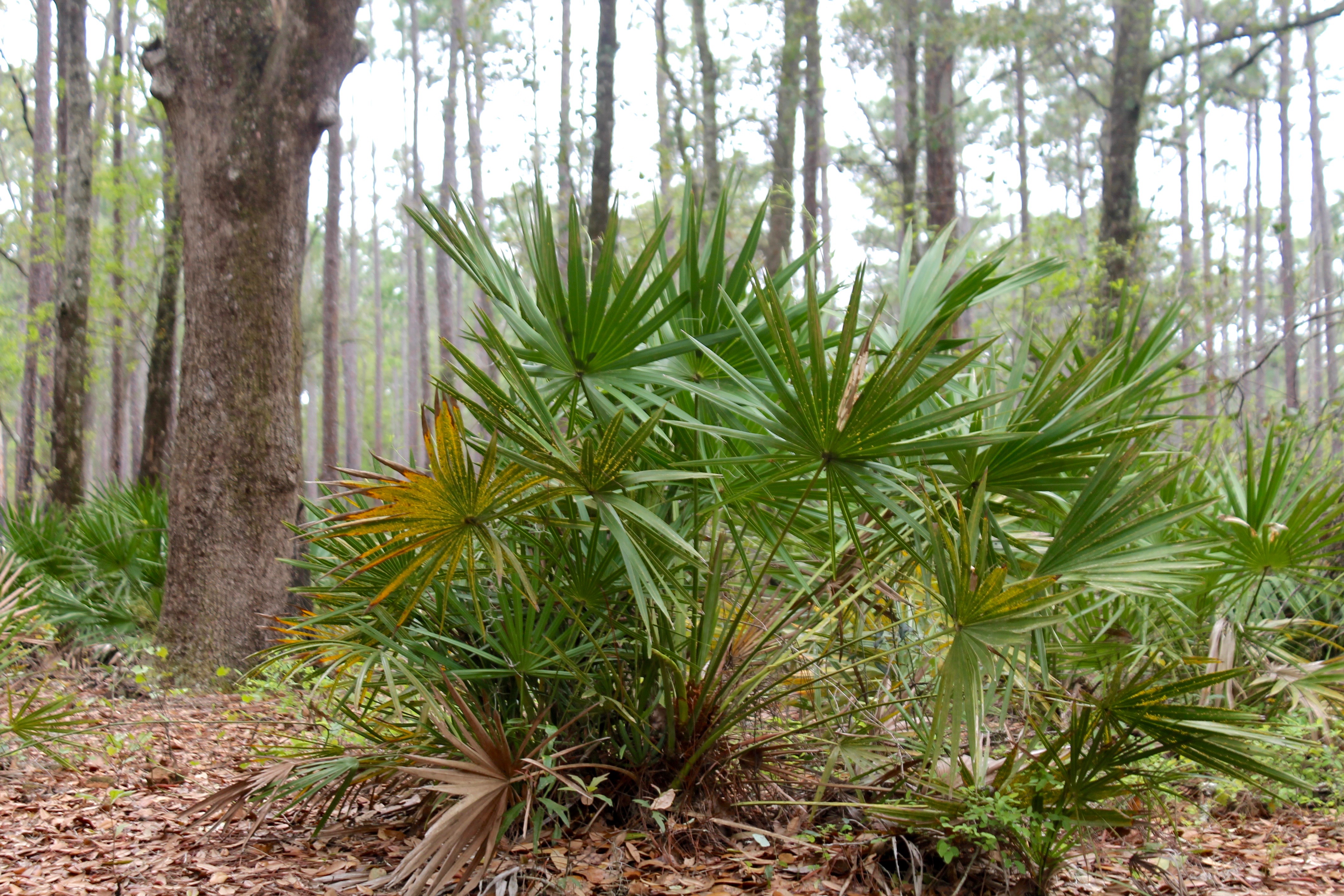
Woodpecker Habitat

Olustee Battlefield

Rainbow Road
Topographic Map of Jack Dugger Rd, Sanderson, FL, USA
Find elevation by address:

Places near Jack Dugger Rd, Sanderson, FL, USA:
12961 5 Churches Rd
10777 Cow Pen Rd
10777 Cow Pen Rd
Sanderson
8334 Cypress St
15908 Steer Man St
10674 Cuyler Rd
Baker County
US-90, Glen St Mary, FL, USA
Crews Road
10439 Oak Hill Rd
US-90, Glen St Mary, FL, USA
10516 Hollie Rd
20192 Golden Grass Farms Ln
7714 Glenview Dr
7179 W Smooth Bore Ave
14310 N Glen Ave
13434 Brandywine Ln
6965 Odis Yarborough Rd
Glen Saint Mary
Recent Searches:
- Elevation of Corso Fratelli Cairoli, 35, Macerata MC, Italy
- Elevation of Tallevast Rd, Sarasota, FL, USA
- Elevation of 4th St E, Sonoma, CA, USA
- Elevation of Black Hollow Rd, Pennsdale, PA, USA
- Elevation of Oakland Ave, Williamsport, PA, USA
- Elevation of Pedrógão Grande, Portugal
- Elevation of Klee Dr, Martinsburg, WV, USA
- Elevation of Via Roma, Pieranica CR, Italy
- Elevation of Tavkvetili Mountain, Georgia
- Elevation of Hartfords Bluff Cir, Mt Pleasant, SC, USA