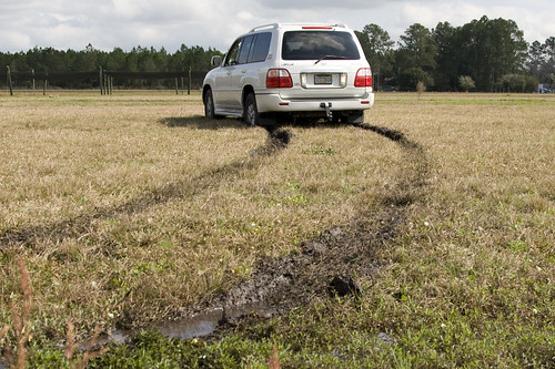
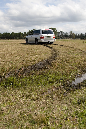
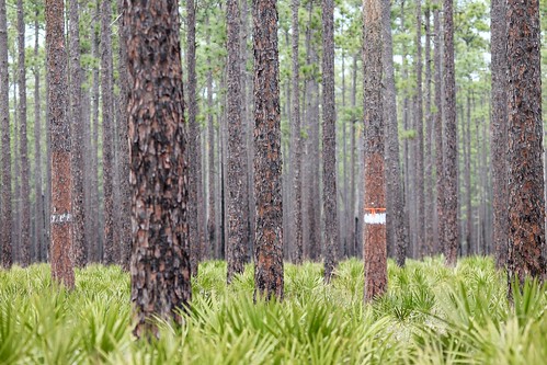
Elevation of Cow Pen Rd, Sanderson, FL, USA
Location: United States > Florida > Baker County > Sanderson >
Longitude: -82.233928
Latitude: 30.283629
Elevation: 48m / 157feet
Barometric Pressure: 101KPa
Related Photos:
Topographic Map of Cow Pen Rd, Sanderson, FL, USA
Find elevation by address:

Places near Cow Pen Rd, Sanderson, FL, USA:
10777 Cow Pen Rd
US-90, Glen St Mary, FL, USA
12961 5 Churches Rd
US-90, Glen St Mary, FL, USA
7714 Glenview Dr
14310 N Glen Ave
Glen Saint Mary
10674 Cuyler Rd
15908 Steer Man St
11409 Confederate Ln
Hamilton Crews Road
13434 Brandywine Ln
10689 Hillside Dr E
7179 W Smooth Bore Ave
6965 Odis Yarborough Rd
6167 Deercreek Ln
6051 Deercreek Ln
Jesse Yarbrough Road
Crews Road
14985 Jesse Yarbrough Rd
Recent Searches:
- Elevation of Corso Fratelli Cairoli, 35, Macerata MC, Italy
- Elevation of Tallevast Rd, Sarasota, FL, USA
- Elevation of 4th St E, Sonoma, CA, USA
- Elevation of Black Hollow Rd, Pennsdale, PA, USA
- Elevation of Oakland Ave, Williamsport, PA, USA
- Elevation of Pedrógão Grande, Portugal
- Elevation of Klee Dr, Martinsburg, WV, USA
- Elevation of Via Roma, Pieranica CR, Italy
- Elevation of Tavkvetili Mountain, Georgia
- Elevation of Hartfords Bluff Cir, Mt Pleasant, SC, USA

