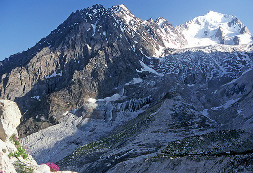
Elevation of Istor-o-Nal, Pakistan
Location: Pakistan > Khyber Pakhtunkhwa > Chitral > Mastuj Tehsil >
Longitude: 71.8983333
Latitude: 36.3758333
Elevation: 7086m / 23248feet
Barometric Pressure: 41KPa
Related Photos:
Topographic Map of Istor-o-Nal, Pakistan
Find elevation by address:

Places near Istor-o-Nal, Pakistan:
Noshaq
Tirich Mir
Saraghrar
Zani An
Uthool
Kiyar
Karimabad
Qaqlasht Meadows
Chitral
Booni
M.c Chitral
Buni Zom
Chitral Airport
Chitral
Chitral
Ishporili Glacier
Ghochhar Sar
Mastuj Tehsil
Mastuj
Police Checkpost Bumburet Valley
Recent Searches:
- Elevation of Corso Fratelli Cairoli, 35, Macerata MC, Italy
- Elevation of Tallevast Rd, Sarasota, FL, USA
- Elevation of 4th St E, Sonoma, CA, USA
- Elevation of Black Hollow Rd, Pennsdale, PA, USA
- Elevation of Oakland Ave, Williamsport, PA, USA
- Elevation of Pedrógão Grande, Portugal
- Elevation of Klee Dr, Martinsburg, WV, USA
- Elevation of Via Roma, Pieranica CR, Italy
- Elevation of Tavkvetili Mountain, Georgia
- Elevation of Hartfords Bluff Cir, Mt Pleasant, SC, USA


