Elevation of Ghochhar Sar, Pakistan
Location: Pakistan > Khyber Pakhtunkhwa > Chitral >
Longitude: 72.2663888
Latitude: 35.9102777
Elevation: 5869m / 19255feet
Barometric Pressure: 48KPa
Elevation Map:
Satellite Map:
Related Photos:
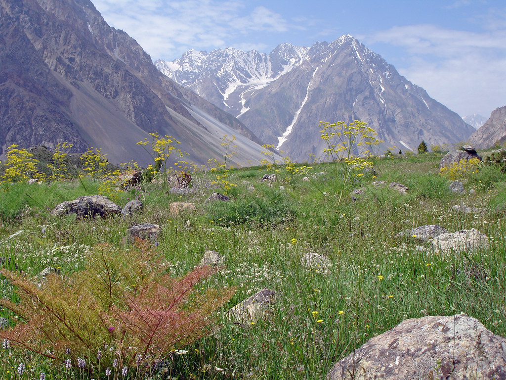
Pak_132 Phargram An Trek

Pak_137 Phargram An Trek
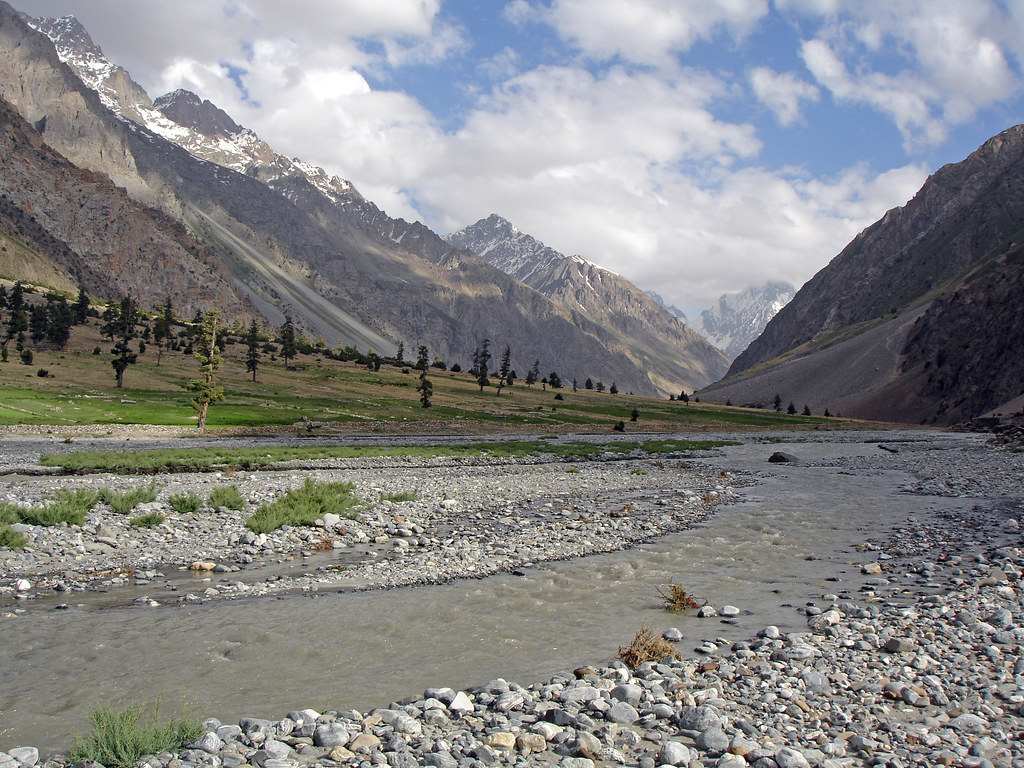
Pak_141 Phargram An Trek
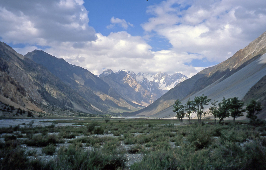
Pak_139A Phargram An Trek
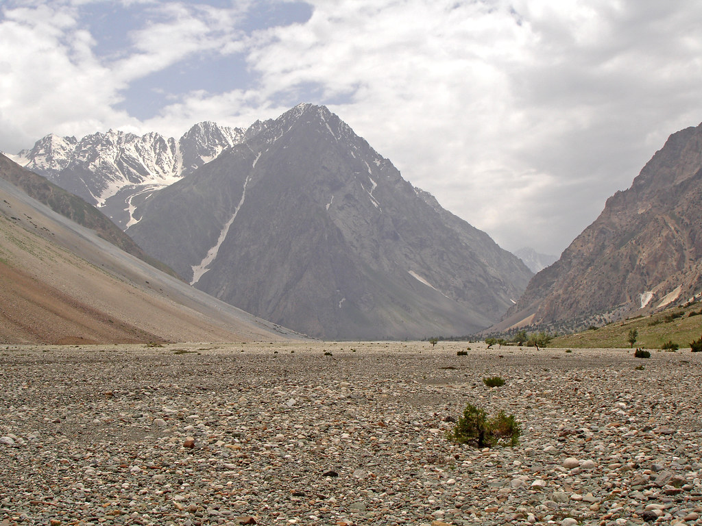
Pak_136 Phargram An Trek

Pakistan_1992_036 Kachikani Gol / Kachhikhani Gol (JE-11)
Topographic Map of Ghochhar Sar, Pakistan
Find elevation by address:

Places near Ghochhar Sar, Pakistan:
Ishporili Glacier
Chitral
Buni Zom
Lake Kharkhari
شندور
Shandur Polo Ground
Shandur
Qaqlasht Meadows
Booni
Baha Chhat Lake
Kumrat Valley
Chhota Jabba
Langar
Uthool
Mahodand Lake
Zani An
Ambesh
Utrar
Chitral Airport
Kiyar
Recent Searches:
- Elevation of Corso Fratelli Cairoli, 35, Macerata MC, Italy
- Elevation of Tallevast Rd, Sarasota, FL, USA
- Elevation of 4th St E, Sonoma, CA, USA
- Elevation of Black Hollow Rd, Pennsdale, PA, USA
- Elevation of Oakland Ave, Williamsport, PA, USA
- Elevation of Pedrógão Grande, Portugal
- Elevation of Klee Dr, Martinsburg, WV, USA
- Elevation of Via Roma, Pieranica CR, Italy
- Elevation of Tavkvetili Mountain, Georgia
- Elevation of Hartfords Bluff Cir, Mt Pleasant, SC, USA