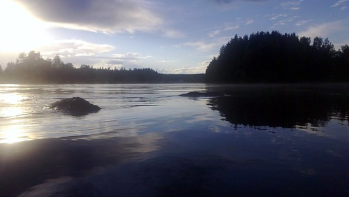
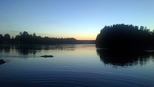
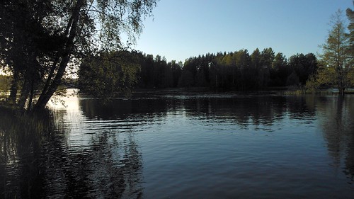
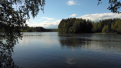
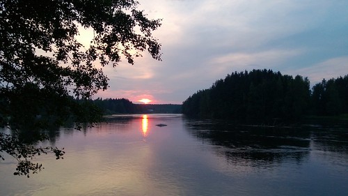
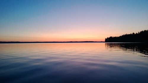
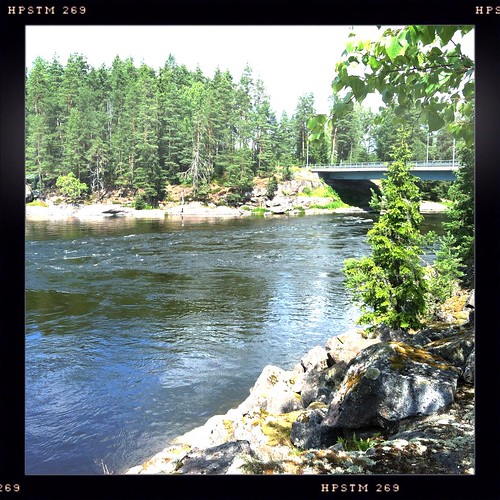
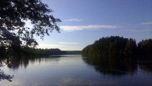
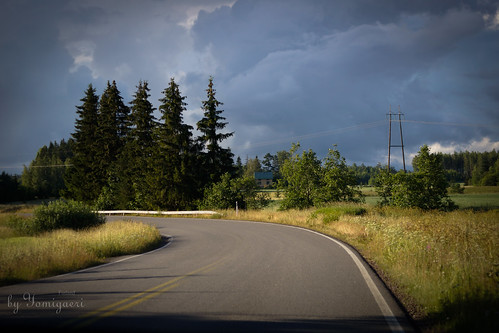
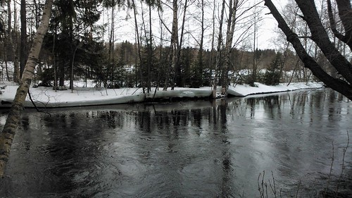
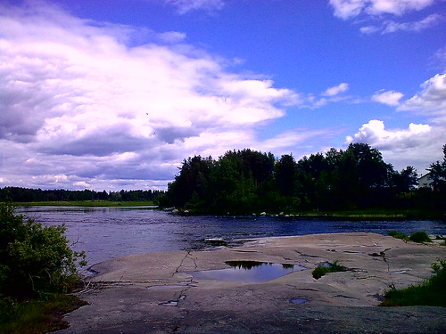
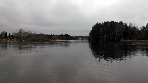
Elevation of Isoahontie, Kouvola, Finland
Location: Finland > Kouvola > Kouvola >
Longitude: 26.4941828
Latitude: 60.6958748
Elevation: 36m / 118feet
Barometric Pressure: 101KPa
Related Photos:
Topographic Map of Isoahontie, Kouvola, Finland
Find elevation by address:

Places near Isoahontie, Kouvola, Finland:
Kujatie 11, Kouvola, Finland
Kiilintie, Kouvola, Finland
Hämeenkyläntie, Kouvola, Finland
Turkkilavägen 22, Lovisa, Finland
Takasentie, Kouvola, Finland
Viitainmaantie, Kouvola, Finland
Nipparintie 50, Pyhtää, Finland
Kuuksontie, Iitti, Finland
Supantie, Kouvola, Finland
Inginmaantie, Iitti, Finland
Hattarvägen, Pyttis, Finland
Kyläpajantie 10, Kouvola, Finland
Kuparisentie 56, Kouvola, Finland
Helsingintie, Lapinjärvi, Finland
Pyhtää
Urajärventie 56, Iitti, Finland
Tuurinkorventie 31, Iitti, Finland
Tolkkilantie, Kouvola, Finland
Raivaajanpolku 22, Kouvola, Finland
Ellintie 7, Kouvola, Finland
Recent Searches:
- Elevation of Corso Fratelli Cairoli, 35, Macerata MC, Italy
- Elevation of Tallevast Rd, Sarasota, FL, USA
- Elevation of 4th St E, Sonoma, CA, USA
- Elevation of Black Hollow Rd, Pennsdale, PA, USA
- Elevation of Oakland Ave, Williamsport, PA, USA
- Elevation of Pedrógão Grande, Portugal
- Elevation of Klee Dr, Martinsburg, WV, USA
- Elevation of Via Roma, Pieranica CR, Italy
- Elevation of Tavkvetili Mountain, Georgia
- Elevation of Hartfords Bluff Cir, Mt Pleasant, SC, USA
