Elevation of Hattarvägen, Pyttis, Finland
Location: Finland > Pyhtää >
Longitude: 26.5248303
Latitude: 60.5456754
Elevation: 19m / 62feet
Barometric Pressure: 101KPa
Elevation Map:
Satellite Map:
Related Photos:
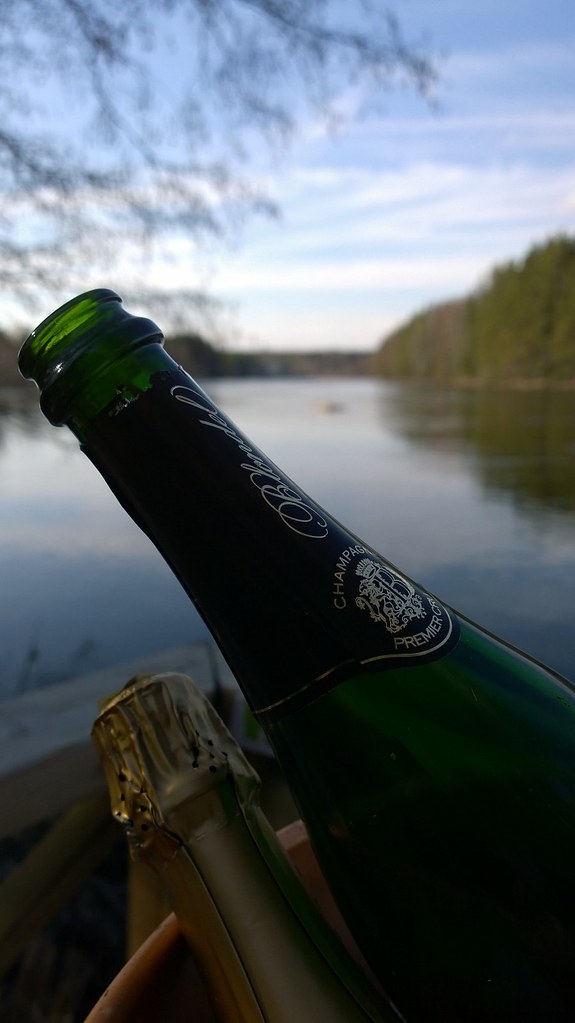
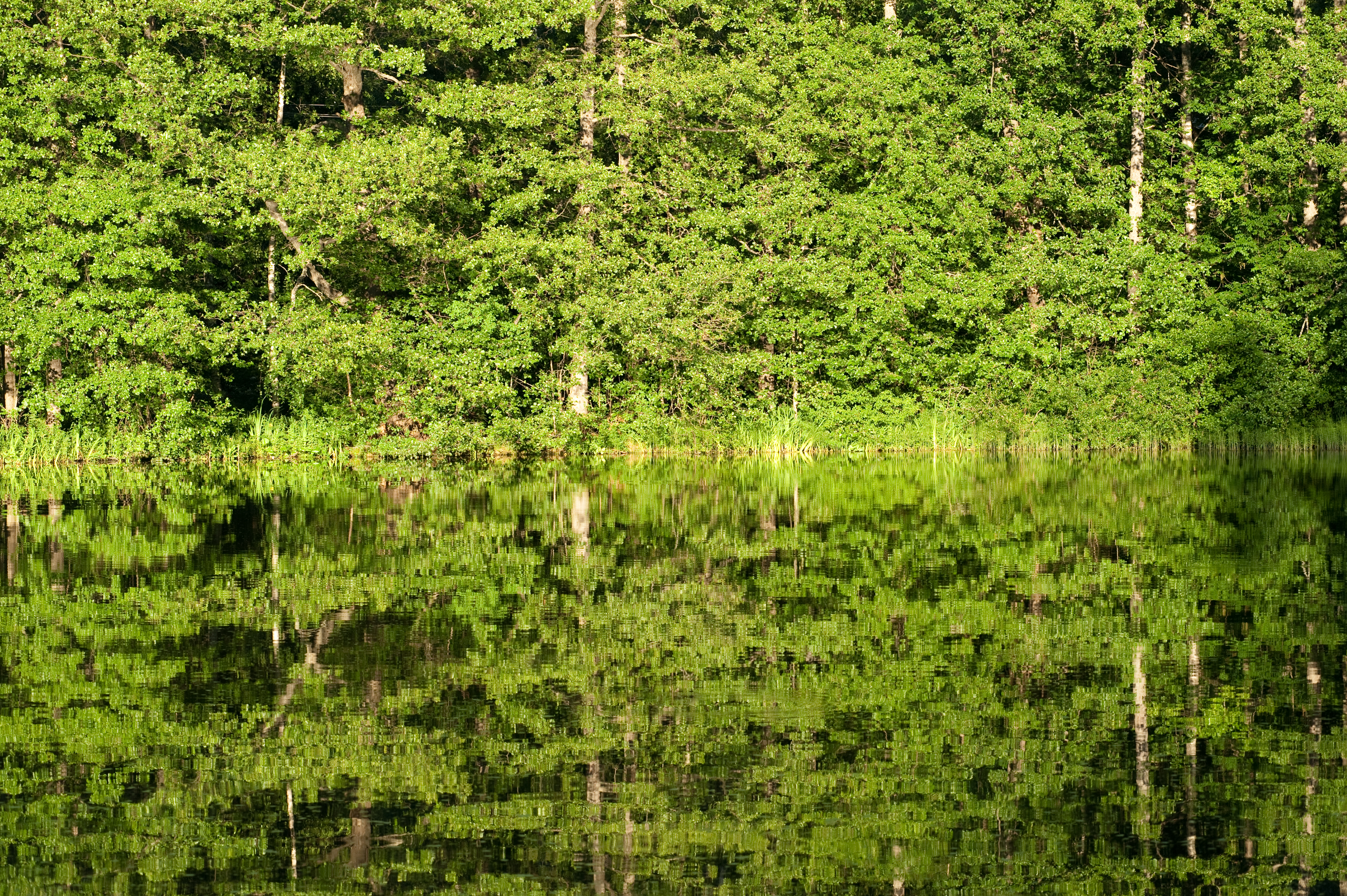
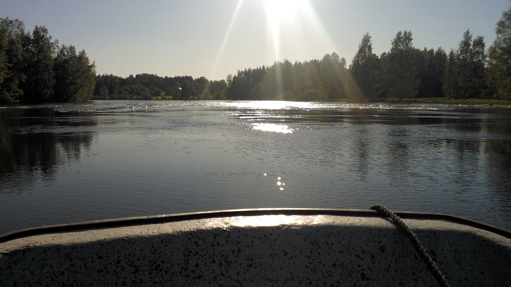
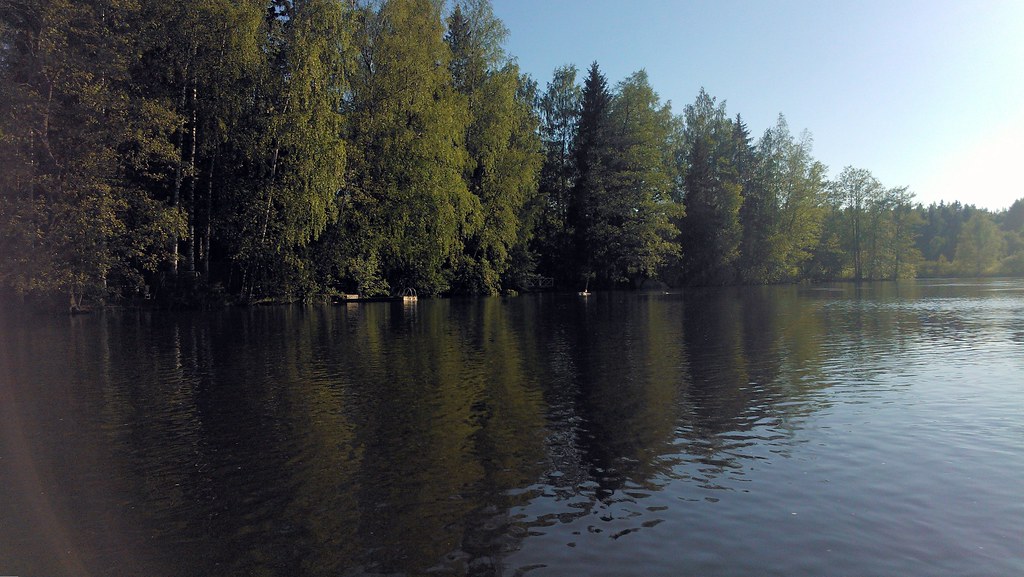
Sparkling views
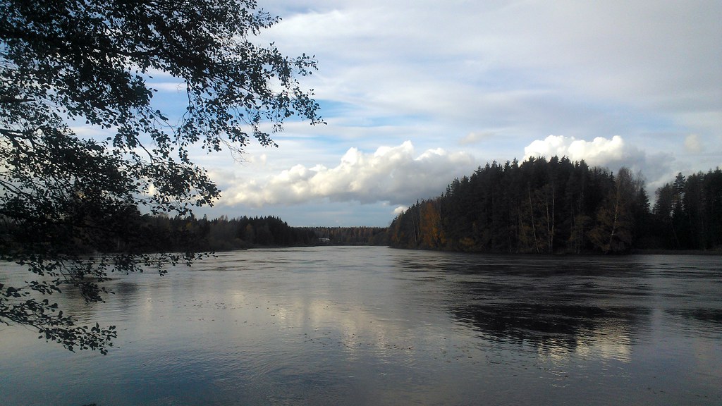
River views

RIver view and some alternatives
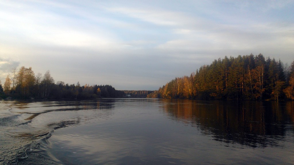
Autumn river views
River view

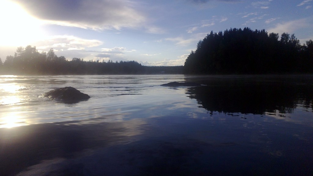
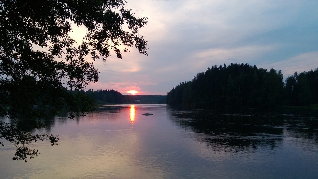
Sunset view from water level

Autumn river views

Evening view to the river
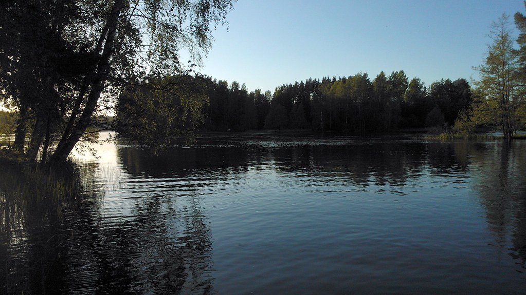
River view

River view
Avec views
A view from Strömfors
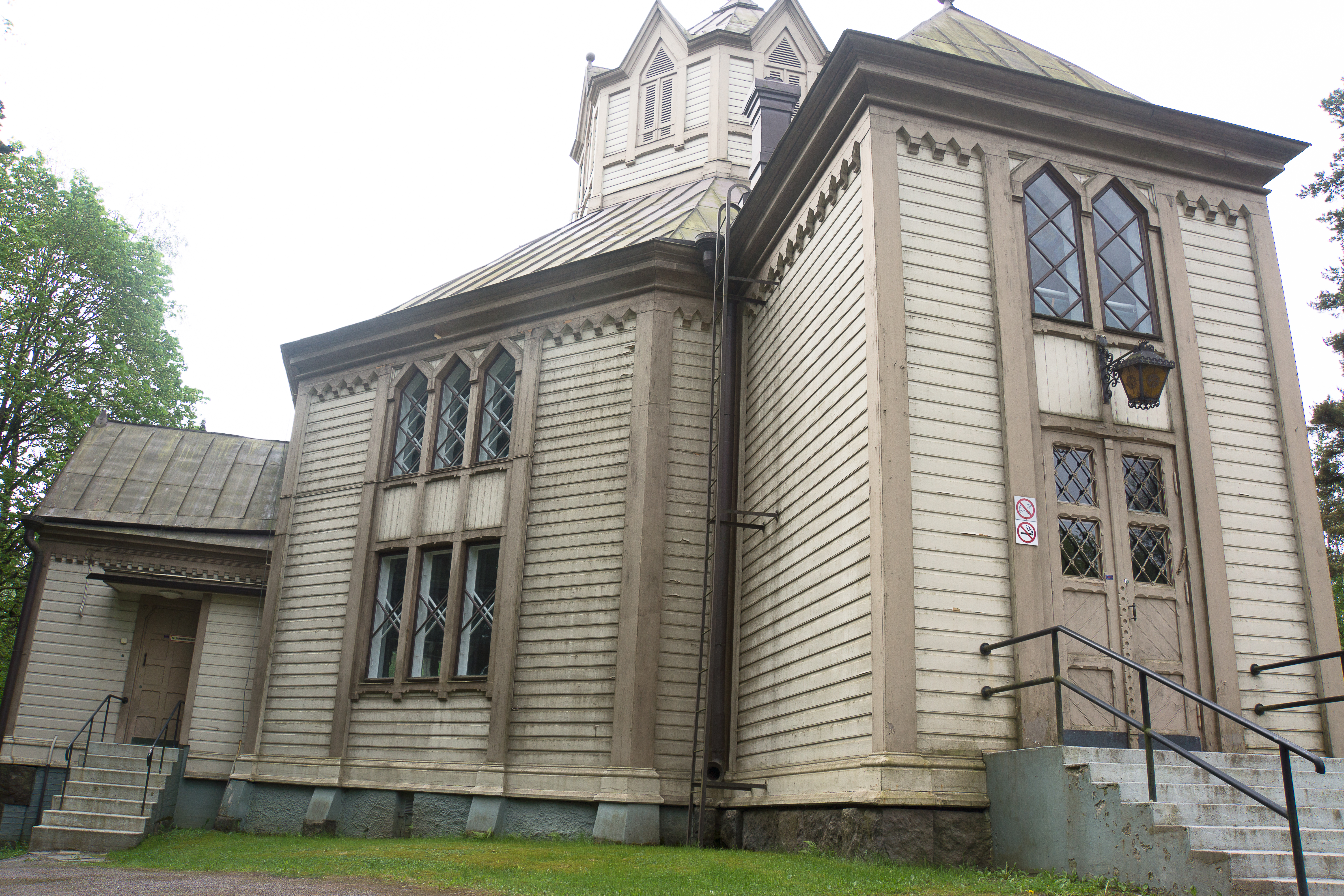
Ruotsinpyhtää Church
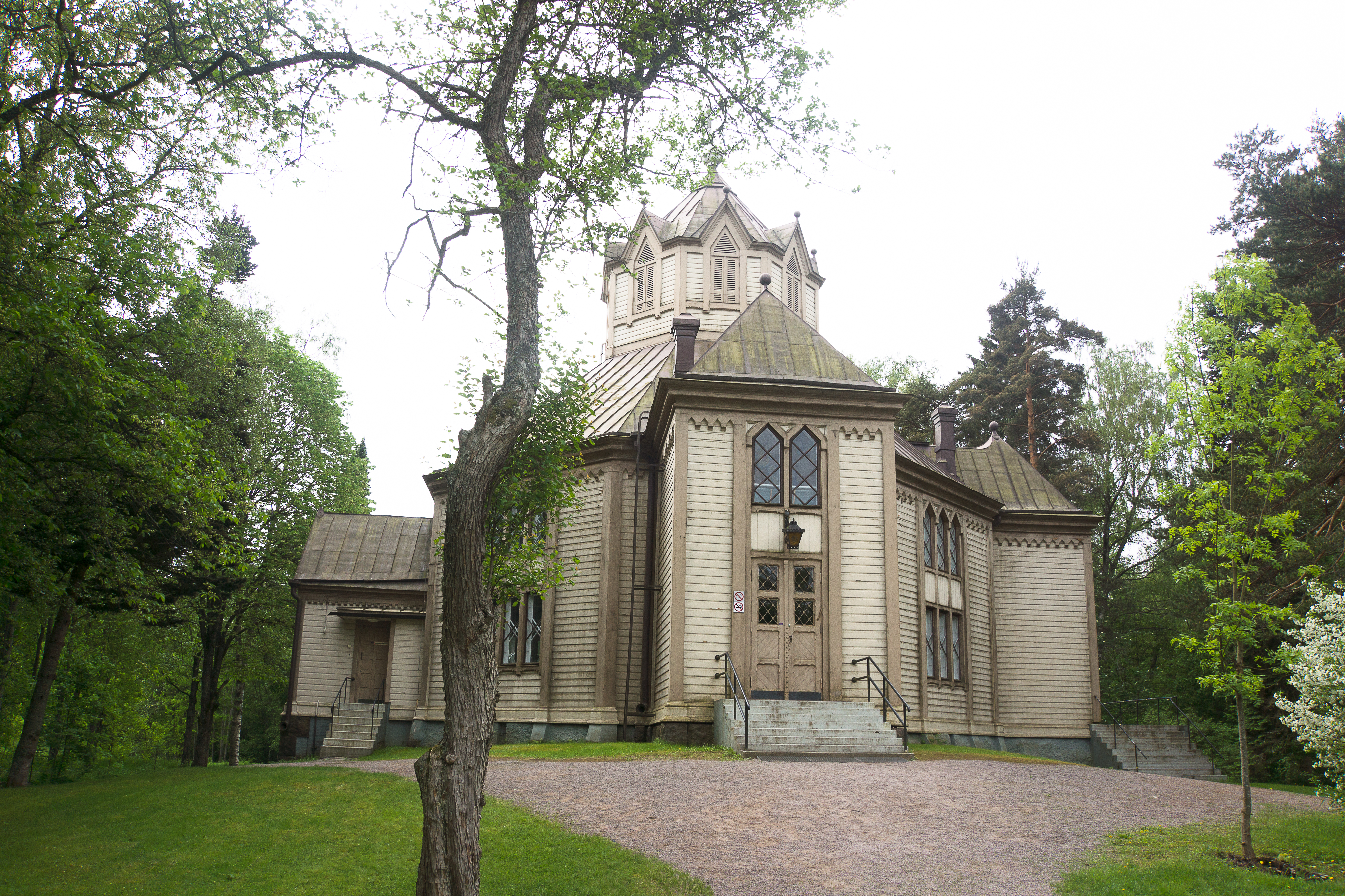
Front View of the Church
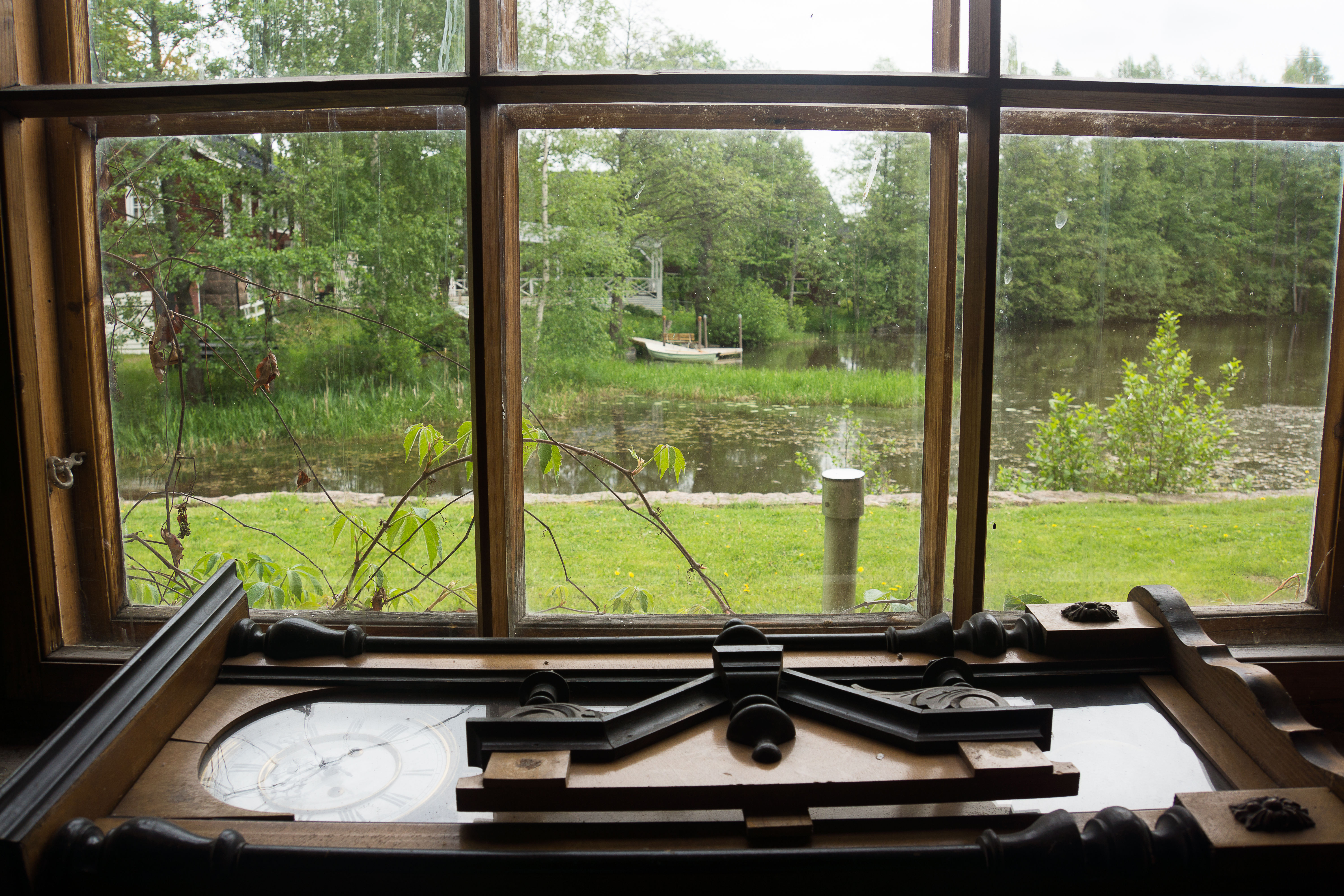
Future sauna view
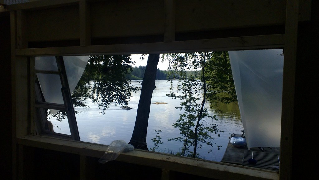
View from Window in Museum area

View at Stromfors

Ruotsinpyhtää Church
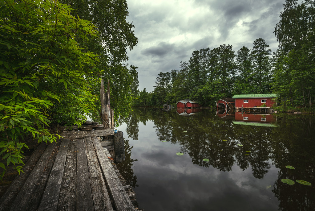
Red boathouses at Pyhtää
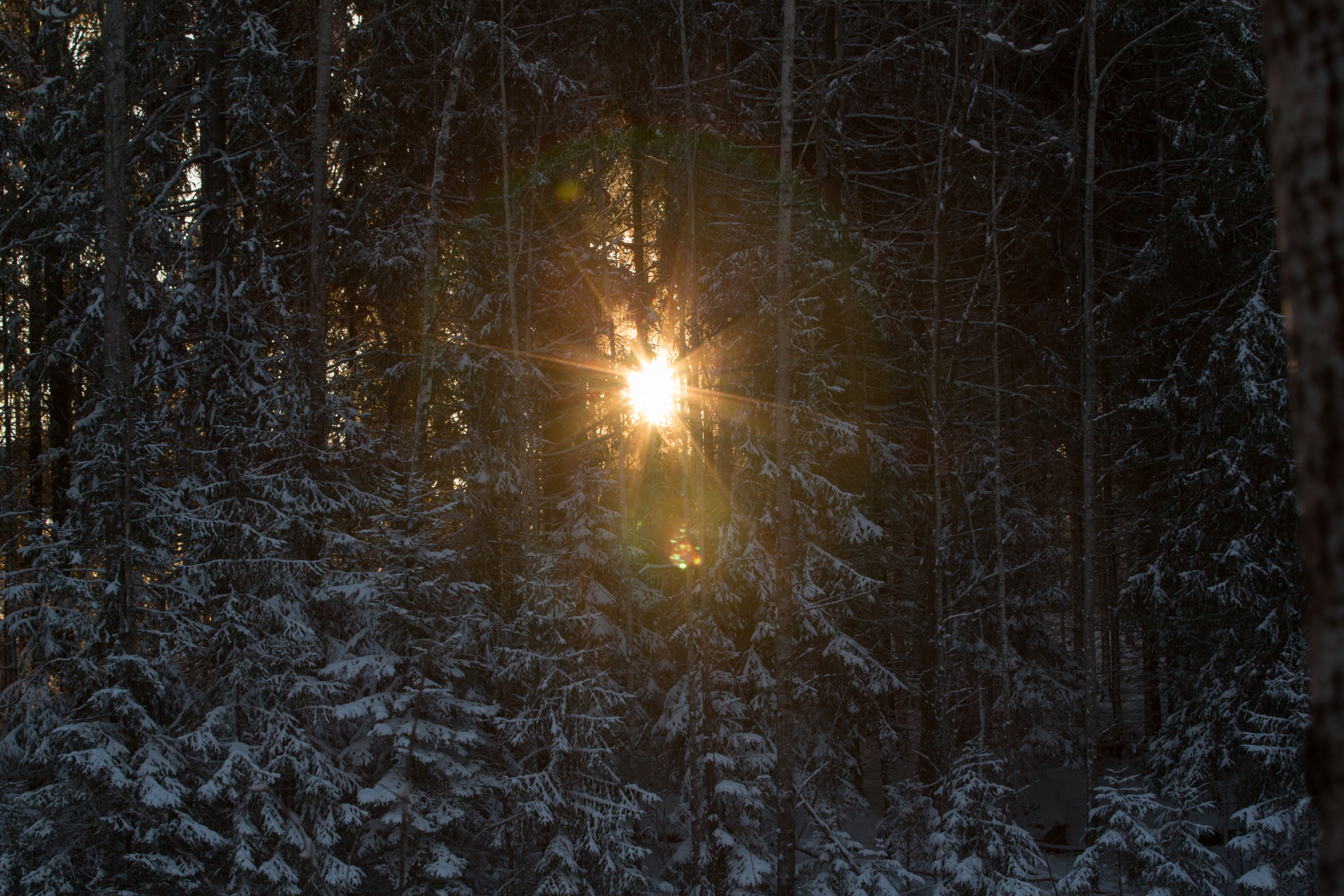
Winter sun
Light reflected
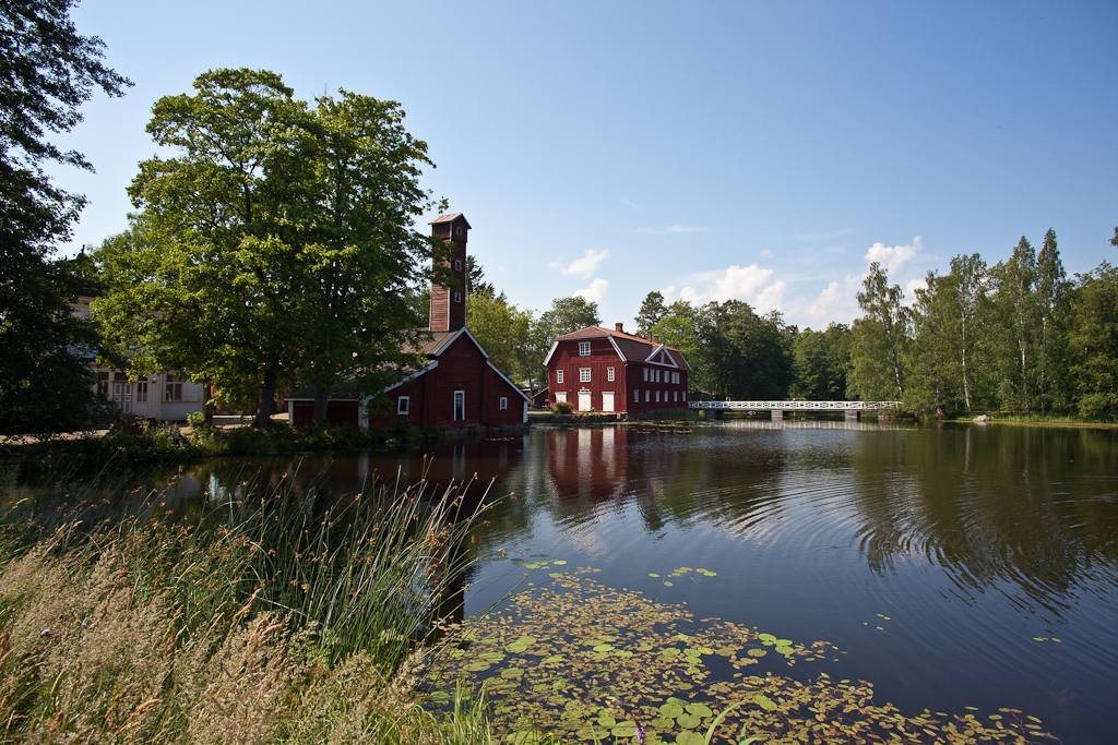
Strömfors ironworks
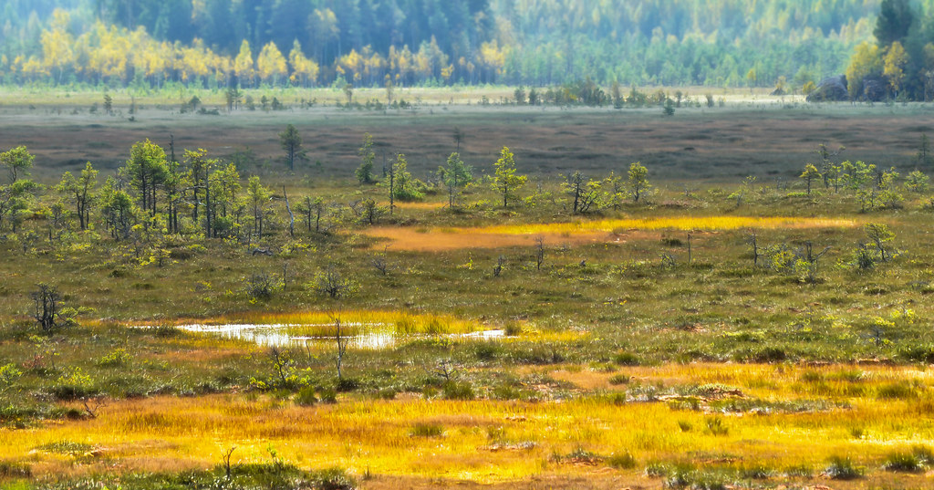
Valkmusa swamp
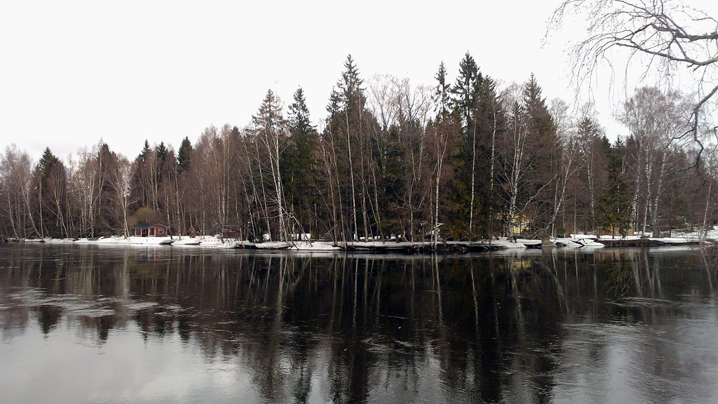
Water seemed to be VERY high based to where ice is. Hope no major damage at the summer house

Heading home...
Water level still very high - almost all usually visible rocks are hidden
The start of the trail a Valkmusa
Water level still very high - almost all usually visible rocks are hidden

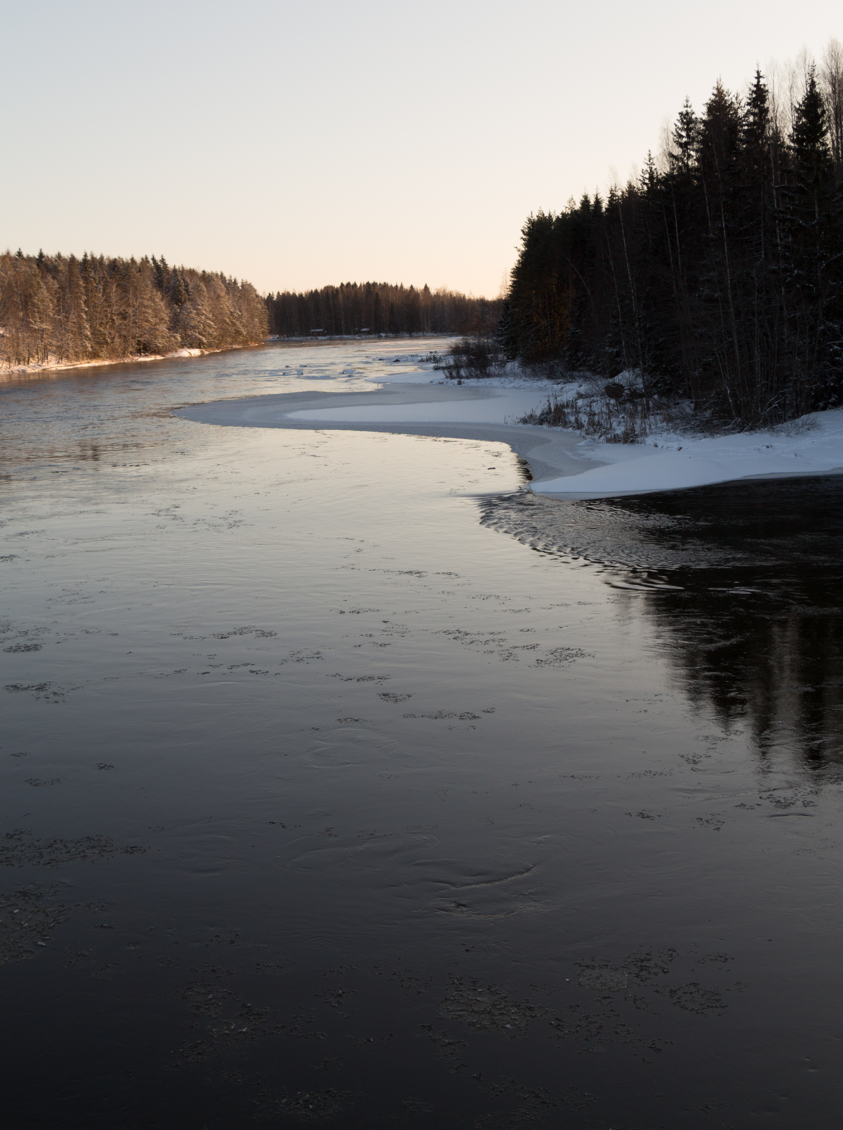
River haze
River sunset

Aurinko laskee aikaisin - Early sunset

Tammijärvi by night @ lightest time of the year

River sunset

Jarkko takes a swim tour around the island in the current
Topographic Map of Hattarvägen, Pyttis, Finland
Find elevation by address:

Places near Hattarvägen, Pyttis, Finland:
Pyhtää
Hämeenkyläntie, Kouvola, Finland
Turkkilavägen 22, Lovisa, Finland
Nipparintie 50, Pyhtää, Finland
Kiilintie, Kouvola, Finland
Isoahontie, Kouvola, Finland
Kujatie 11, Kouvola, Finland
Viitainmaantie, Kouvola, Finland
Kuparisentie 56, Kouvola, Finland
Supantie, Kouvola, Finland
Takasentie, Kouvola, Finland
Helsingintie, Lapinjärvi, Finland
Kuuksontie, Iitti, Finland
Inginmaantie, Iitti, Finland
Kyläpajantie 10, Kouvola, Finland
Tolkkilantie, Kouvola, Finland
Lapinjärvi
Raivaajanpolku 22, Kouvola, Finland
Koriankuja 11
Kallantie 9
Recent Searches:
- Elevation of Corso Fratelli Cairoli, 35, Macerata MC, Italy
- Elevation of Tallevast Rd, Sarasota, FL, USA
- Elevation of 4th St E, Sonoma, CA, USA
- Elevation of Black Hollow Rd, Pennsdale, PA, USA
- Elevation of Oakland Ave, Williamsport, PA, USA
- Elevation of Pedrógão Grande, Portugal
- Elevation of Klee Dr, Martinsburg, WV, USA
- Elevation of Via Roma, Pieranica CR, Italy
- Elevation of Tavkvetili Mountain, Georgia
- Elevation of Hartfords Bluff Cir, Mt Pleasant, SC, USA